Poors' Wood

Wood, Forest in Herefordshire

England

Poors' Wood

Organ, All Saints' church, Coddington By John Nicholson of Worcester, single manual and pedal with 8 stops.
Organ, All Saints' church, Coddington Credit: Julian P Guffogg

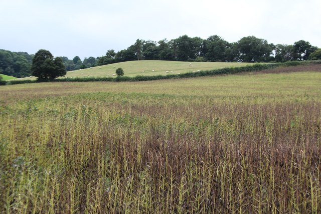
Poors' Wood is a picturesque woodland located in Herefordshire, a county in the West Midlands region of England. Covering an area of approximately 20 acres, the wood is nestled in the tranquil countryside, offering a peaceful and serene escape from the hustle and bustle of city life.

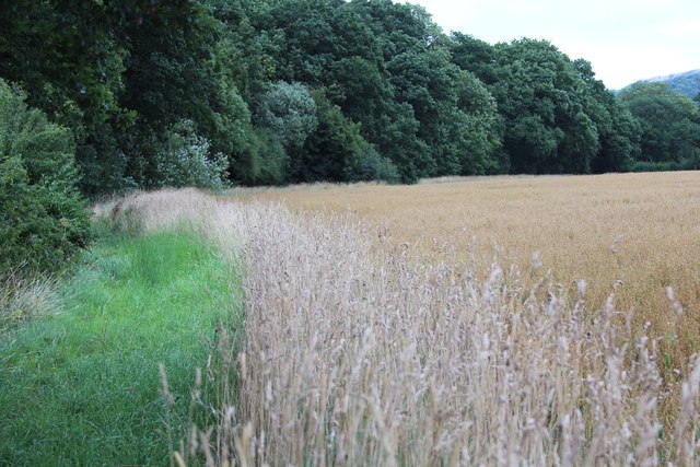
The wood is predominantly made up of mixed broadleaf trees, including oak, ash, beech, and birch, creating a diverse and vibrant ecosystem. The dense canopy provides a cool and shaded environment, perfect for leisurely walks and nature exploration. The forest floor is carpeted with an array of wildflowers and ferns, adding to the beauty and charm of the woodland.

Poors' Wood is home to a variety of wildlife, making it a paradise for nature enthusiasts. Visitors may encounter squirrels, rabbits, and an abundance of bird species, including woodpeckers and owls. The wood is also known to support a healthy population of deer, which can be spotted grazing or gracefully bounding through the trees.

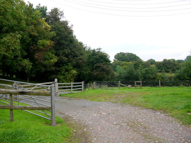
Trails and footpaths crisscross the wood, allowing visitors to explore its enchanting corners and discover hidden gems. There are seating areas strategically placed throughout the woodland, providing opportunities for visitors to relax and soak in the tranquil atmosphere. The wood also features a small pond, attracting a myriad of aquatic creatures and serving as a peaceful spot for contemplation.

Poors' Wood is a cherished local gem and is managed by a dedicated group of volunteers who work tirelessly to preserve and enhance its natural beauty. The wood is open to the public year-round, offering a delightful escape into nature for individuals and families alike.

If you have any feedback on the listing, please let us know in the comments section below.
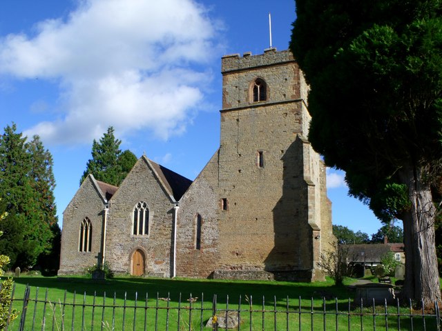
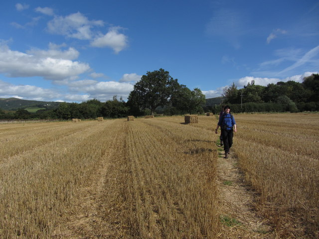
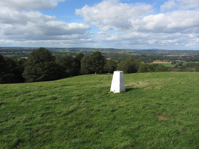
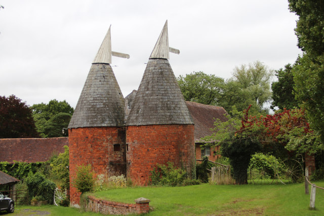
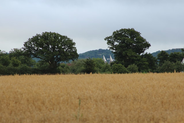
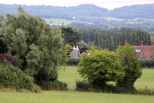
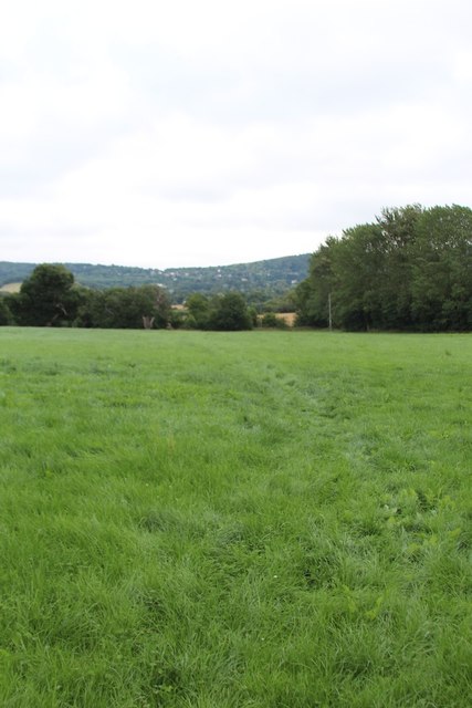
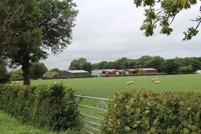
Poors' Wood Images

Images are sourced within 2km of 52.08944/-2.396857 or Grid Reference SO7243. Thanks to Geograph Open Source API. All images are credited.

Organ, All Saints' church, Coddington By John Nicholson of Worcester, single manual and pedal with 8 stops.
Organ, All Saints' church, Coddington
By John Nicholson of Worcester, single manual and pedal with 8 stops.
St James' Church, Colwall Grade II* listed.
Originally 12th Century, with 5 bay nave and south aisle of 13th C., south west tower of late 14th early 15th C. north arcade from 1880. Font is possibly 13th C, but re-cut. 
See also <a href="https://www.geograph.org.uk/photo/1920097">SO7342 : St James Church, Colwall</a>
St James' Church, Colwall
Grade II* listed. Originally 12th Century, with 5 bay nave and south aisle of 13th C., south west tower of late 14th early 15th C. north arcade from 1880. Font is possibly 13th C, but re-cut. See also SO7342 : St James Church, Colwall
Colwall Church Viewed from the side of Pinnacle Hill.
Colwall Church
Viewed from the side of Pinnacle Hill.
Direction sign and gate, Old Colwall
The Lodge, Old Colwall
St James', Colwall
St James', Colwall
Walking across harvested field north of Colwall, Herefordshire
Trig point on Oyster Hill, SE of Coddington Ironically, the trig point is not located at the highest point. There is a convenient seat nearby for you to rest and admire the view.
Trig point on Oyster Hill, SE of Coddington
Ironically, the trig point is not located at the highest point. There is a convenient seat nearby for you to rest and admire the view.
Oast House at Old Country Farm, Moorend Cross
Oast House at Bush Farm Twin square kiln oast house.
Oast House at Bush Farm
Twin square kiln oast house.
Oast House at Moorend Court, Moorend Cross, Mathon Twin square kiln oast house.
Oast House at Moorend Court, Moorend Cross, Mathon
Twin square kiln oast house.
Footpath near Bush Farm
Strangwood Farm
Strangwood Farm
Footpath near Strangwood Farm
Footpath near Bush Wood
Crop field near Bush Farm and Strangwood Farm
By Upper Townend Farm View from the farmyard.
By Upper Townend Farm
View from the farmyard.
Barn wall; brick and timber patchwork At Upper Townend Farm, growers of Herefordshire hops.
Barn wall; brick and timber patchwork
At Upper Townend Farm, growers of Herefordshire hops.
Show me another place!

Poors' Wood is located at Grid Ref: SO7243 (Lat: 52.08944, Lng: -2.396857)

Unitary Authority: County of Herefordshire

Police Authority: West Mercia

What 3 Words

///speared.approvals.slopes. Near Great Malvern, Worcestershire

Related Wikis

Coddington, Herefordshire

Coddington is a hamlet and civil parish in eastern Herefordshire, England, about 3 miles (4.8 km) north of Ledbury. The west side of the parish covers...

Hope End

Hope End is an area and former estate of Herefordshire, England, near the Malvern Hills, noted for its literary associations. As described by a 19th-century...

Mathon, Herefordshire

Mathon is a small village and civil parish in eastern Herefordshire, England, lying just to the west of the Malvern Hills between Malvern and Ledbury....
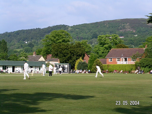
Stowe Lane

Stowe Lane is a cricket ground in Colwall, Herefordshire. The first recorded county match on the ground was in 1974, when the Worcestershire Second XI...

Nearby Amenities

Located within 500m of 52.08944,-2.396857
Post Box
Collection Plate: CP7
Collection Times: Mo-Fr 16:30; Sa 09:00
Historic Operator: Post Office
Post Box Mounting: wooden_post
Post Box Type: lamp
Ref: HR8 299
Royal Cypher: EIIR
Royal Cypher Wikidata: Q33102113
Source: survey;bing
Lat/Long: 52.0878973/-2.4024563
Board Type: notice
Information: board
Lat/Long: 52.0879035/-2.4024596
Coddington Cross
Place: locality
Lat/Long: 52.0880813/-2.4024756
Golden Cross Inn
Power: pole
Transformer: distribution
Voltage Primary: 11000
Lat/Long: 52.0872207/-2.4030782
Coddington Cross
Power: pole
Transformer: distribution
Voltage Primary: 11000
Lat/Long: 52.0875606/-2.4012463
The data included in this document is from www.openstreetmap.org. The data is made available under ODbL.

Have you been to Poors' Wood?

Leave your review of Poors' Wood below (or comments, questions and feedback).