Old Country Wood
Wood, Forest in Worcestershire
England
Old Country Wood
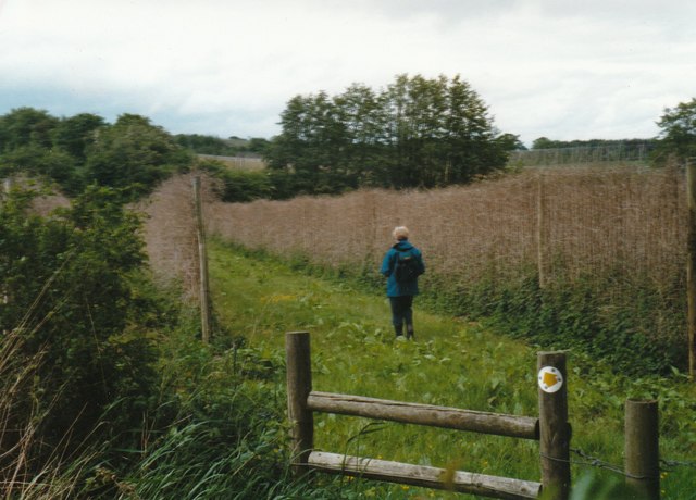
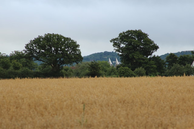
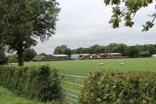
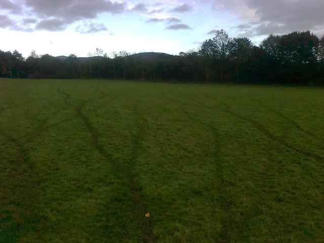
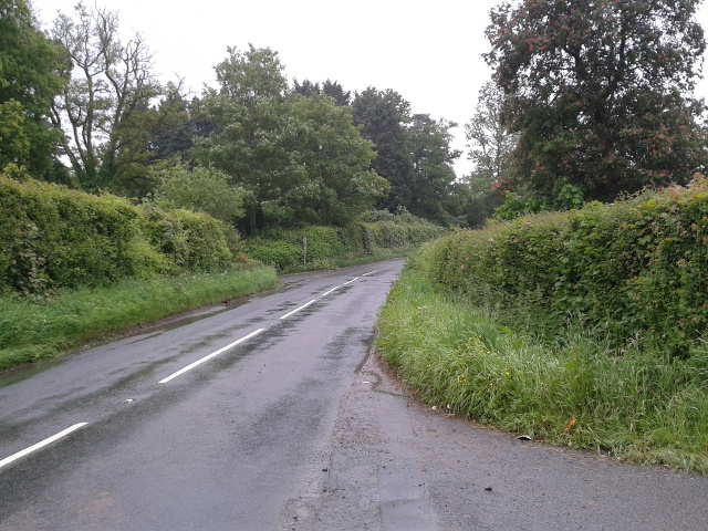
Old Country Wood is a picturesque forest located in Worcestershire, England. With an area spanning approximately 200 acres, this ancient woodland is a haven for nature enthusiasts and those seeking tranquility amidst stunning natural surroundings. The wood is situated near the village of Old Country, from which it derives its name, and is easily accessible by foot or by car.
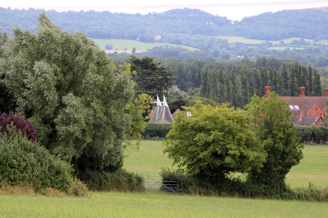
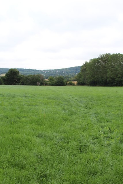
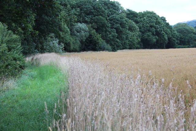
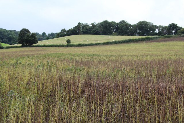
The woodland is characterized by its dense canopy of towering oak, beech, and ash trees, which provide a sheltered habitat for a diverse range of flora and fauna. Bluebells, primroses, and wild garlic carpet the forest floor during spring, creating a breathtaking display of colors. The wood is also home to a variety of wildlife, including deer, foxes, badgers, and numerous bird species, making it a popular spot for birdwatchers and wildlife photographers.
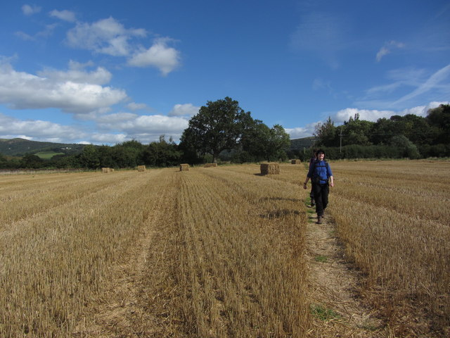
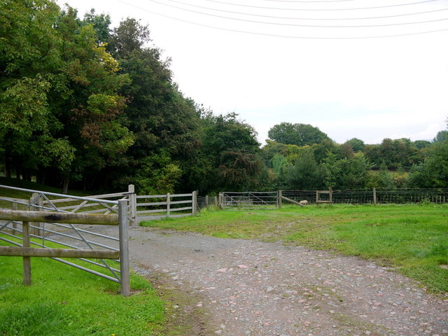
Visitors to Old Country Wood can explore its network of well-maintained footpaths and trails, which wind through the forest, offering glimpses of babbling brooks and small ponds along the way. The wood also features a picnic area, where visitors can relax and enjoy a meal amidst the serenity of their surroundings.
Old Country Wood holds great historical significance, with evidence of human habitation dating back to the Iron Age. Archaeological finds, including pottery and tools, have been discovered within the wood, providing valuable insights into the lives of its ancient inhabitants.
Overall, Old Country Wood is a captivating destination for nature lovers, offering a peaceful retreat from the hustle and bustle of modern life. Its timeless beauty and rich history make it a must-visit location for anyone exploring Worcestershire's natural wonders.
If you have any feedback on the listing, please let us know in the comments section below.
Old Country Wood Images
Images are sourced within 2km of 52.093539/-2.4074906 or Grid Reference SO7243. Thanks to Geograph Open Source API. All images are credited.


Old Country Wood is located at Grid Ref: SO7243 (Lat: 52.093539, Lng: -2.4074906)
Unitary Authority: County of Herefordshire
Police Authority: West Mercia
What 3 Words
///meaty.cunning.blend. Near Evesbatch, Herefordshire
Nearby Locations
Related Wikis

Coddington, Herefordshire
Coddington is a hamlet and civil parish in eastern Herefordshire, England, about 3 miles (4.8 km) north of Ledbury. The west side of the parish covers...

Mathon, Herefordshire
Mathon is a small village and civil parish in eastern Herefordshire, England, lying just to the west of the Malvern Hills between Malvern and Ledbury....
Bosbury
Bosbury is a village and civil parish in Herefordshire, England, approximately 3.5 miles (5.6 km) north of Ledbury. The small River Leadon flows through...

Hope End
Hope End is an area and former estate of Herefordshire, England near the Malvern Hills, noted for its literary associations. As described by a 19th-century...
Nearby Amenities
Located within 500m of 52.093539,-2.4074906Have you been to Old Country Wood?
Leave your review of Old Country Wood below (or comments, questions and feedback).