Ooze Castle Wood

Wood, Forest in Lancashire

England

Ooze Castle Wood

Heading down Jackson Height Following an indistinct footpath over rough ground towards Pickup Bank
Heading down Jackson Height Credit: Chris Heaton

Ooze Castle Wood is a picturesque forest located in Lancashire, England. Covering an area of approximately 200 acres, it is a popular destination for nature enthusiasts and outdoor lovers alike. The wood is situated near the village of Oozebooth, offering a tranquil and serene atmosphere for visitors to enjoy.

The wood is primarily composed of a diverse range of deciduous trees, including oak, birch, beech, and ash, which provide a stunning display of colors during the autumn months. The forest floor is adorned with a carpet of vibrant wildflowers, creating a beautiful contrast against the lush greenery.

Ooze Castle Wood is home to a variety of wildlife, including deer, foxes, badgers, and a wide array of bird species. Birdwatchers often visit the wood to catch a glimpse of the resident woodpeckers, owls, and redstarts. The wood's peaceful surroundings and abundance of flora and fauna make it a perfect spot for nature photography and wildlife observation.

Visitors to Ooze Castle Wood can explore the numerous walking trails that wind through the forest, offering the opportunity to immerse oneself in the natural beauty of the area. There are also picnic areas and benches scattered throughout the wood, providing a peaceful setting to relax and enjoy a packed lunch.

Overall, Ooze Castle Wood is a captivating destination that offers a wonderful escape from the hustle and bustle of daily life. With its diverse range of plant and animal life, scenic beauty, and peaceful ambiance, it is a true haven for nature lovers and a must-visit location in Lancashire.

If you have any feedback on the listing, please let us know in the comments section below.

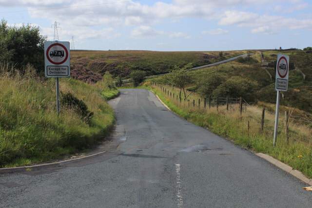
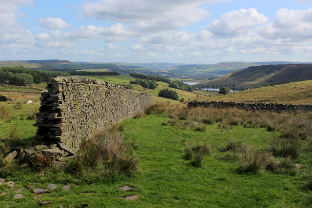
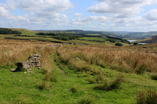
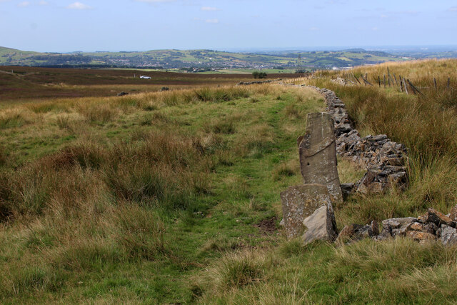
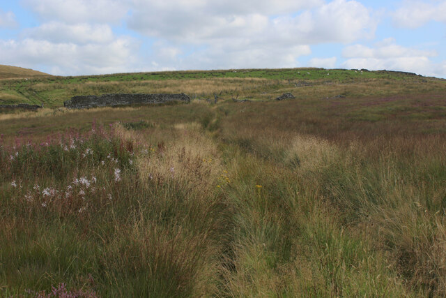
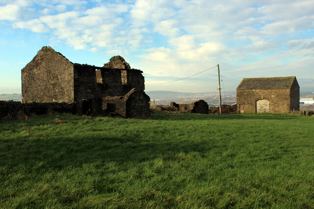
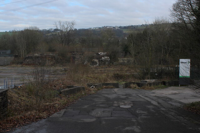
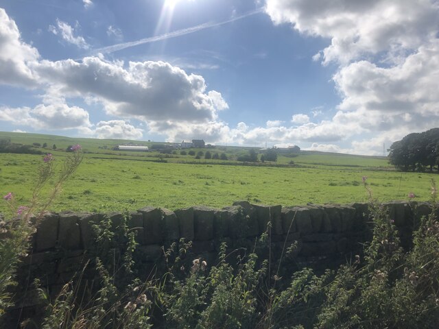
Ooze Castle Wood Images

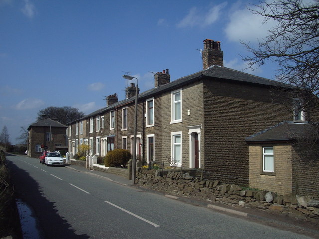
Images are sourced within 2km of 53.707439/-2.4229889 or Grid Reference SD7223. Thanks to Geograph Open Source API. All images are credited.

Heading down Jackson Height Following an indistinct footpath over rough ground towards Pickup Bank
Heading down Jackson Height
Following an indistinct footpath over rough ground towards Pickup Bank
Footpath leading away from the Grane Road Very faint footpath, heavily incumbered by reeds heading towards Pickup Bank
Footpath leading away from the Grane Road
Very faint footpath, heavily incumbered by reeds heading towards Pickup Bank
On Jackson Height
On Jackson Height
Long Hey Lane Descending to cross Mean Brook
Long Hey Lane
Descending to cross Mean Brook
Descending into the Grane Valley (1) Public footpath follows the substantial wall into the head of the Grane Valley - which contains the River Ogden.
Descending into the Grane Valley (1)
Public footpath follows the substantial wall into the head of the Grane Valley - which contains the River Ogden.
Descending into the Grane Valley (2) Footpath descending into the head of the Grane Valley, although it is not visible on the ground - so attention needs to be concentrated on the map.
Descending into the Grane Valley (2)
Footpath descending into the head of the Grane Valley, although it is not visible on the ground - so attention needs to be concentrated on the map.
Footpath heading towards Broadhead Road
Track leading away from Broadhead Road The public footpath concealed and smothered by vegetation
Track leading away from Broadhead Road
The public footpath concealed and smothered by vegetation
Terraced Houses on Carus Avenue, Hoddlesden Blessed with very long thin garden, separated by wide trimmed hedgerows
Terraced Houses on Carus Avenue, Hoddlesden
Blessed with very long thin garden, separated by wide trimmed hedgerows
Hoddlesden Reservoir Popular local leisure facility - especially with walkers and the fishing fraternity
Hoddlesden Reservoir
Popular local leisure facility - especially with walkers and the fishing fraternity
Hoddlesden Reservoir Embankment Popular destination for walkers and anglers
Hoddlesden Reservoir Embankment
Popular destination for walkers and anglers
Footpath heading for Lower Scholes Farm Passes an unusual mode of enclosure, utilising vertical stones - similar to field features found in the Wycoller area to the east of here.
Footpath heading for Lower Scholes Farm
Passes an unusual mode of enclosure, utilising vertical stones - similar to field features found in the Wycoller area to the east of here.
Johnson New Road Section of road between Hoddlesden and Waterside
Johnson New Road
Section of road between Hoddlesden and Waterside
Harwood Fold A group of buildings in a pasture near Pot House, consisting of two in a ruinous state including a farmhouse - and a stone barn, still in service.
Harwood Fold
A group of buildings in a pasture near Pot House, consisting of two in a ruinous state including a farmhouse - and a stone barn, still in service.
Entering Eccleshill Gardens Approaching on Johnson Road from the south east
Entering Eccleshill Gardens
Approaching on Johnson Road from the south east
View towards Belthorn Looking north east towards the village on the skyline, from Johnson Road
View towards Belthorn
Looking north east towards the village on the skyline, from Johnson Road
Cleared Site at Waterside Business Park Demolished buildings clearing space, currently used as a car and lorry park
Cleared Site at Waterside Business Park
Demolished buildings clearing space, currently used as a car and lorry park
View over farmland To Higher Bold Venture Farm
View over farmland
To Higher Bold Venture Farm
Show me another place!

Ooze Castle Wood is located at Grid Ref: SD7223 (Lat: 53.707439, Lng: -2.4229889)

Unitary Authority: Blackburn with Darwen

Police Authority: Lancashire

What 3 Words

///moved.void.festivity. Near Darwen, Lancashire

Related Wikis

Bank Fold

Bank Fold is a hamlet near Belthorn in Lancashire, England.

Yate and Pickup Bank

Yate and Pickup Bank is a civil parish in the borough of Blackburn with Darwen, Lancashire, England. The population of the civil parish taken at the census...

Old St Paul's Church, Hoddlesden

Old St Paul's Church is a former Anglican parish church in the village of Hoddlesden, Lancashire, England. The foundation stone was laid on 27 July 1861...

Belthorn

Belthorn is a small moorland village situated to the south-east of Blackburn in Lancashire, England. It is about two-thirds of a mile (1.1 km) away from...

Eccleshill, Lancashire

Eccleshill is a civil parish in the Borough of Blackburn with Darwen, Lancashire, England. The population of the parish was only 319, at the census of...
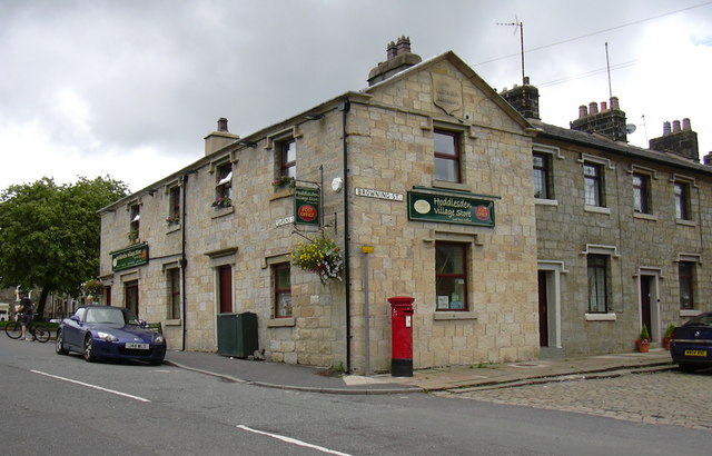
Hoddlesden

Hoddlesden is a village in the borough of Blackburn with Darwen, in Lancashire, England. The village population at the 2011 census was 1,239. It is in...

Guide, Lancashire

Guide is a village on the edge of Blackburn, in Lancashire, England. It is located south of the town centre, and the M65 Motorway passes around the south...

Darwen

Darwen is a market town and civil parish in the Blackburn with Darwen borough in Lancashire, England. The residents of the town are known as "Darreners...

Nearby Amenities

Located within 500m of 53.707439,-2.4229889
Power: tower
Lat/Long: 53.708247/-2.4167109
Power: tower
Lat/Long: 53.7087574/-2.4192912
Power: tower
Lat/Long: 53.7099163/-2.425116
The data included in this document is from www.openstreetmap.org. The data is made available under ODbL.

Have you been to Ooze Castle Wood?

Leave your review of Ooze Castle Wood below (or comments, questions and feedback).