Shaw's Rough
Wood, Forest in Cheshire
England
Shaw's Rough
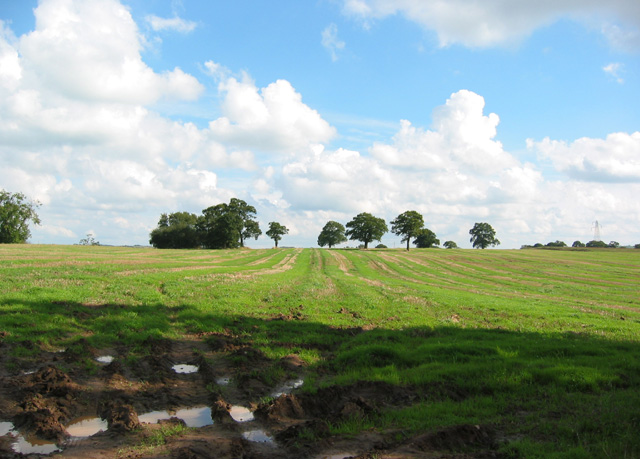
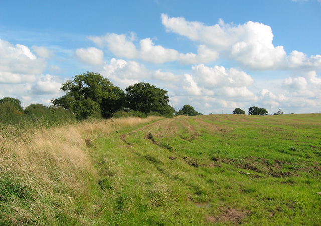
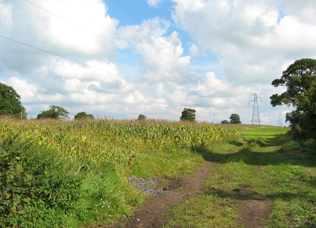
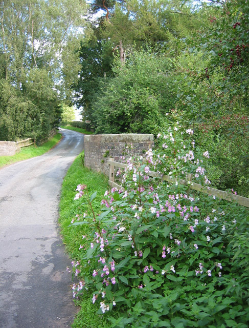
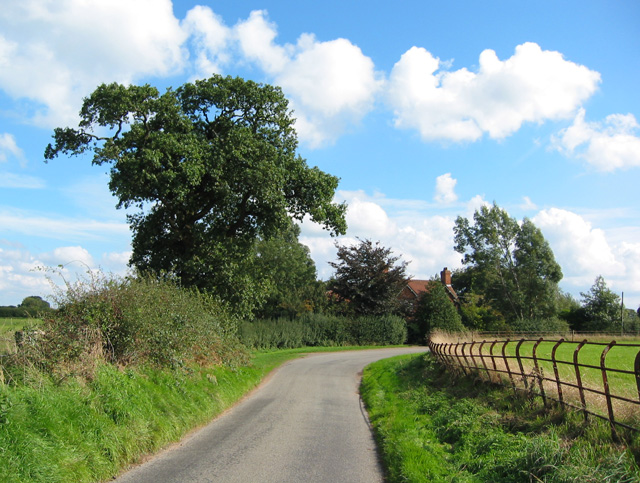
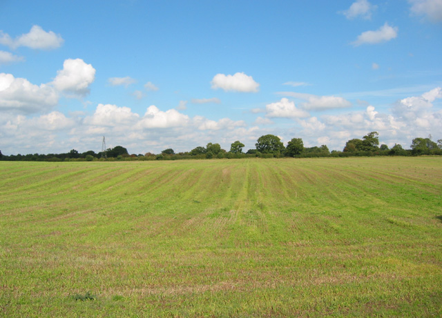
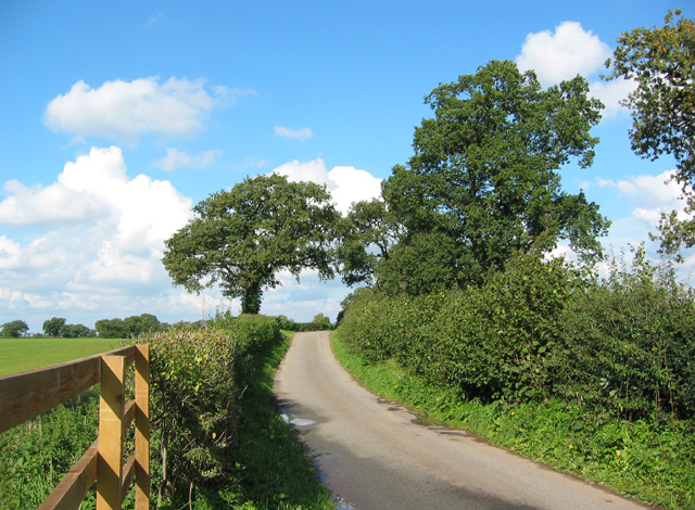
Shaw's Rough is a sprawling woodland located in the county of Cheshire, England. Covering an area of approximately 200 acres, it is a remarkable natural treasure within the region. The forest is situated on the outskirts of the market town of Frodsham, just a short distance from the popular tourist destination of Chester.
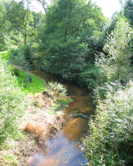
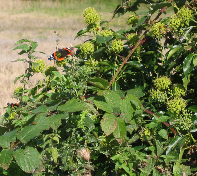
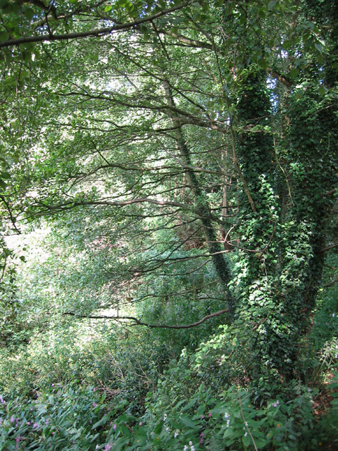
Shaw's Rough is characterized by its diverse and ancient woodland, consisting mainly of oak, birch, and beech trees. The forest is home to a wide array of flora and fauna, including various species of wildflowers, ferns, and mushrooms. The forest floor is often covered in a vibrant carpet of bluebells during the spring months, creating a stunning visual spectacle.
The woodland is intersected by several walking trails and footpaths, making it a popular destination for locals and visitors alike. These paths provide opportunities for leisurely strolls, jogging, or even cycling, allowing visitors to immerse themselves in the tranquility of nature. Birdwatchers frequent Shaw's Rough due to its rich birdlife, which includes species such as woodpeckers, finches, and owls.
Shaw's Rough also holds historical significance, with evidence of human activity dating back centuries. Ancient earthworks, believed to be remnants of an Iron Age hillfort, can be found within the forest. These archaeological features contribute to the area's cultural heritage and provide an intriguing glimpse into the past.
Overall, Shaw's Rough is a cherished natural haven, offering a peaceful retreat from the hustle and bustle of daily life. Its combination of stunning landscapes, diverse biodiversity, and historical significance make it a truly special place within Cheshire's enchanting countryside.
If you have any feedback on the listing, please let us know in the comments section below.
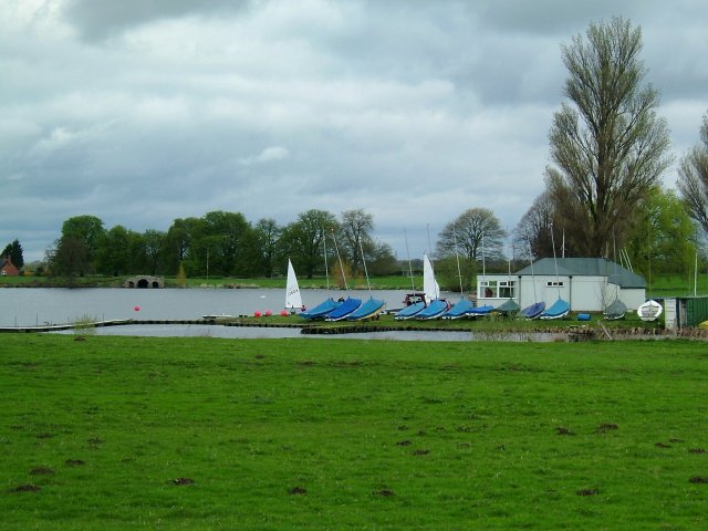
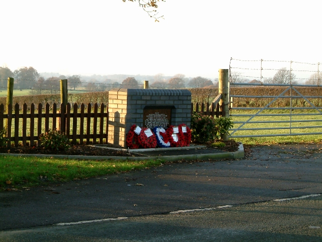
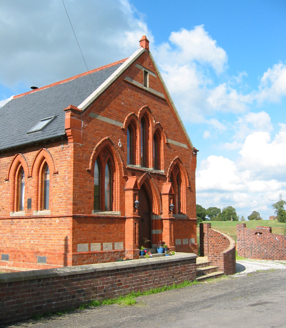
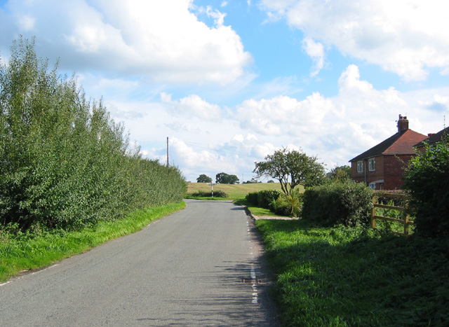
Shaw's Rough Images
Images are sourced within 2km of 53.014012/-2.4162029 or Grid Reference SJ7246. Thanks to Geograph Open Source API. All images are credited.

Shaw's Rough is located at Grid Ref: SJ7246 (Lat: 53.014012, Lng: -2.4162029)
Unitary Authority: Cheshire East
Police Authority: Cheshire
What 3 Words
///relations.tall.canines. Near Betley, Staffordshire
Nearby Locations
Related Wikis

Blakenhall, Cheshire
Blakenhall is a small village and former civil parish, now in the parish of Doddington and District, in the unitary authority area of Cheshire East and...

Bridgemere
Bridgemere is a village (at SJ717454) and former civil parish, now in the parish of Doddington and District, in the unitary authority area of Cheshire...

Checkley Hall
Checkley Hall is a small country house in the parish of Doddington and District (until 2023 Checkley cum Wrinehill), in Cheshire, England. The house was...

Doddington Hall, Cheshire
Doddington Hall is a country house in Doddington Park in the civil parish of Doddington, Cheshire, England. It is recorded in the National Heritage List...

Delves Hall
Delves Hall, also known as Doddington Castle, is a fortified structure in Doddington Park to the north of Doddington Hall in the civil parish of Doddington...
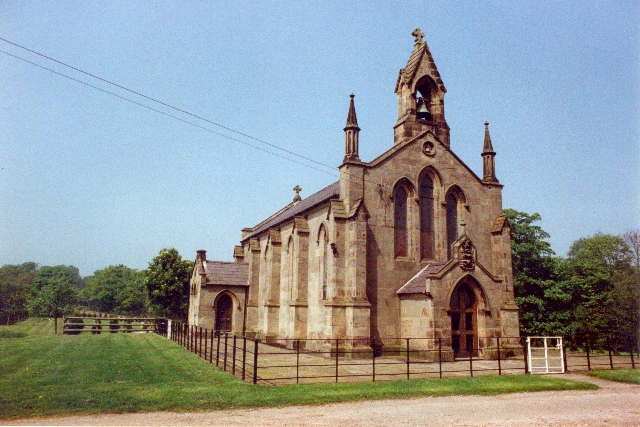
St John's Church, Doddington
St John's Church, Doddington, is located off Hunsterson Road in the grounds of Doddington Hall, Cheshire, England. It is an active Anglican parish church...
Doddington, Cheshire
Doddington is a former civil parish, now in the parish of Doddington and District, in the unitary authority area of Cheshire East and the ceremonial county...
Checkley cum Wrinehill
Checkley cum Wrinehill is a former civil parish, now in the parish of Doddington and District, in the unitary authority area of Cheshire East and the ceremonial...
Nearby Amenities
Located within 500m of 53.014012,-2.4162029Have you been to Shaw's Rough?
Leave your review of Shaw's Rough below (or comments, questions and feedback).