Anthony's Wood
Wood, Forest in Herefordshire
England
Anthony's Wood

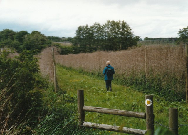
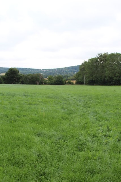
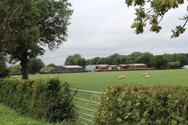
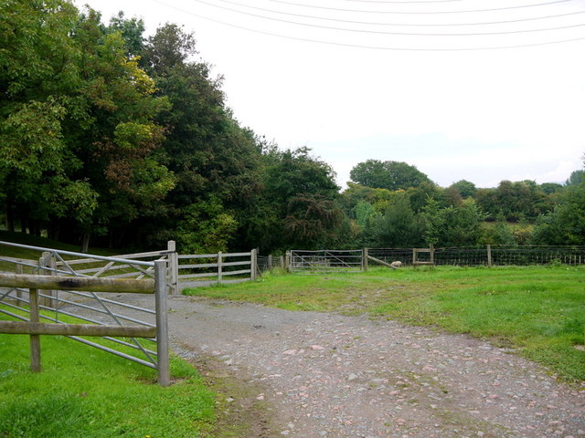
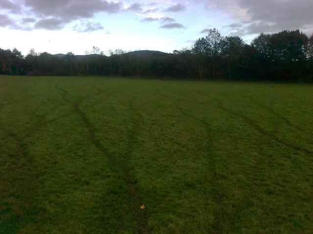
Anthony's Wood is a picturesque woodland located in the county of Herefordshire, England. Situated near the village of Anthony's Cross, this wood is renowned for its natural beauty and rich biodiversity. Covering an area of approximately 100 acres, it serves as a prime example of a traditional English forest.
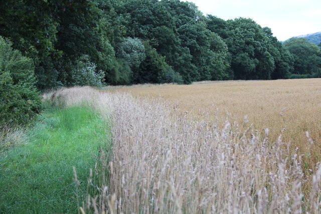
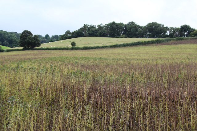
As one explores Anthony's Wood, they are greeted by a diverse range of tree species, including oak, beech, ash, and birch. These majestic trees create a dense canopy, providing shade and shelter to an array of wildlife that calls this woodland home. The forest floor is adorned with a carpet of wildflowers, adding bursts of color to the landscape during spring and summer months.
The wood is intersected by a meandering stream, which not only adds to the scenic beauty but also provides a vital water source for the local flora and fauna. It is not uncommon to spot various bird species, such as woodpeckers, thrushes, and owls, flitting amongst the branches. Additionally, small mammals like squirrels, rabbits, and foxes can be observed scurrying through the undergrowth.
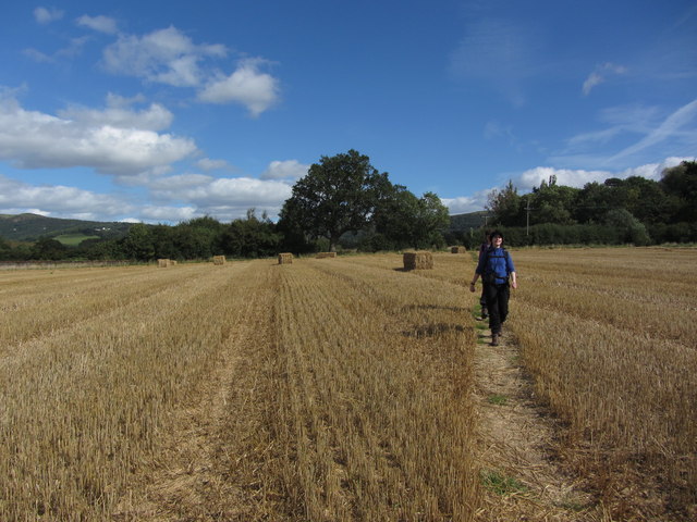
For nature enthusiasts, Anthony's Wood offers an idyllic setting for walking, hiking, and birdwatching. The tranquil atmosphere and the absence of modern developments create a sense of serenity, allowing visitors to immerse themselves in the natural wonders of the wood.
Overall, Anthony's Wood in Herefordshire is a cherished haven for both wildlife and nature enthusiasts. Its lush vegetation, diverse wildlife, and captivating landscapes make it a must-visit destination for those seeking a slice of untouched natural beauty.
If you have any feedback on the listing, please let us know in the comments section below.
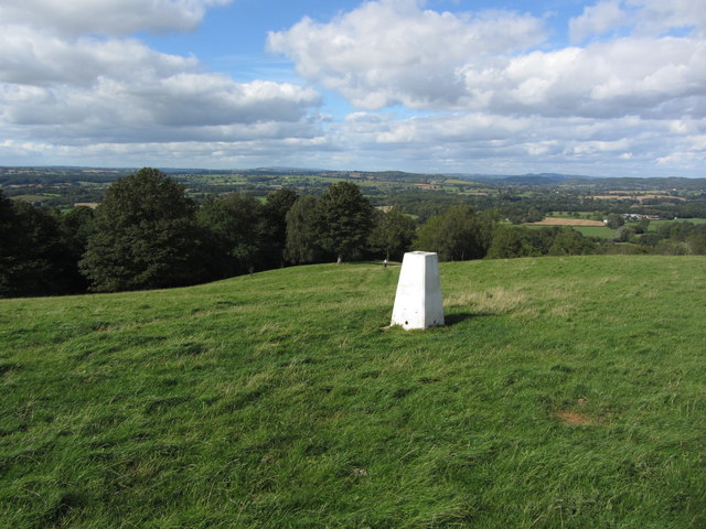
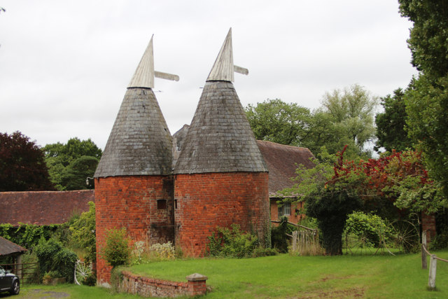
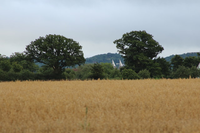
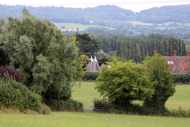
Anthony's Wood Images
Images are sourced within 2km of 52.09117/-2.4063305 or Grid Reference SO7243. Thanks to Geograph Open Source API. All images are credited.


Anthony's Wood is located at Grid Ref: SO7243 (Lat: 52.09117, Lng: -2.4063305)
Unitary Authority: County of Herefordshire
Police Authority: West Mercia
What 3 Words
///irrigated.ruby.define. Near Evesbatch, Herefordshire
Nearby Locations
Related Wikis

Coddington, Herefordshire
Coddington is a hamlet and civil parish in eastern Herefordshire, England, about 3 miles (4.8 km) north of Ledbury. The west side of the parish covers...

Hope End
Hope End is an area and former estate of Herefordshire, England, near the Malvern Hills, noted for its literary associations. As described by a 19th-century...

Mathon, Herefordshire
Mathon is a small village and civil parish in eastern Herefordshire, England, lying just to the west of the Malvern Hills between Malvern and Ledbury....
Bosbury
Bosbury is a village and civil parish in Herefordshire, England, approximately 3.5 miles (5.6 km) north of Ledbury. The small River Leadon flows through...
Stowe Lane
Stowe Lane is a cricket ground in Colwall, Herefordshire. The first recorded county match on the ground was in 1974, when the Worcestershire Second XI...

The Elms School, Colwall
The Elms School is a co-educational private boarding prep school located in Colwall, Herefordshire, England. Including the Early Years and Pre-Prep departments...

Colwall
Colwall is a civil parish in Herefordshire, England, situated on the border with Worcestershire, nestling on the western side of the Malvern Hills at the...

Colwall railway station
Colwall railway station is a railway station on the Cotswold Line serving the village of Colwall in Herefordshire, England. The station has one platform...
Nearby Amenities
Located within 500m of 52.09117,-2.4063305Have you been to Anthony's Wood?
Leave your review of Anthony's Wood below (or comments, questions and feedback).