Billington Moor Plantation
Wood, Forest in Lancashire Ribble Valley
England
Billington Moor Plantation

Billington Moor Plantation is a serene and expansive wooded area located in Lancashire, England. Covering an area of approximately 200 acres, this plantation is a magnificent example of a well-preserved forest ecosystem. The plantation is situated in the charming village of Billington, just south of Whalley, and is a popular destination for nature enthusiasts and walkers alike.
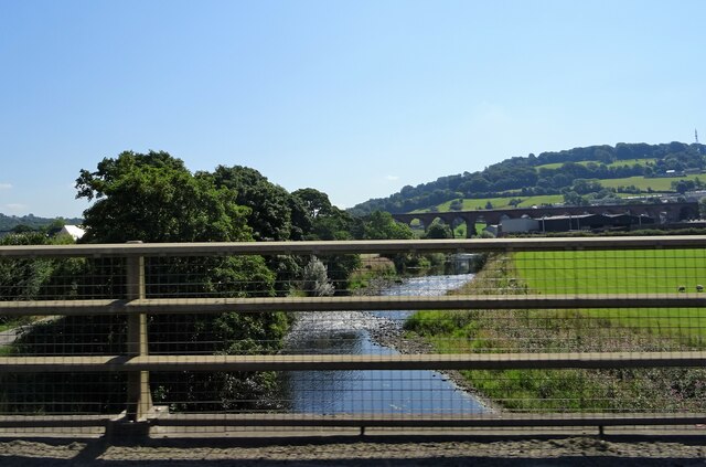
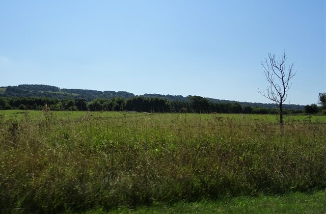
The woodlands of Billington Moor Plantation are predominantly composed of native tree species such as oak, birch, and beech, creating a diverse and vibrant natural environment. These trees provide a vital habitat for a wide variety of wildlife, including numerous bird species, small mammals, and insects.
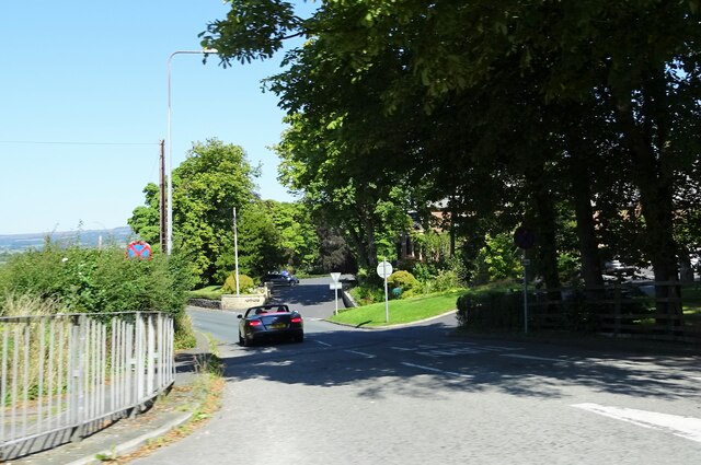
The plantation offers a network of well-maintained footpaths, allowing visitors to explore the beauty of the woodland at their own pace. These paths wind their way through the plantation, offering stunning views of the surrounding countryside and providing an opportunity to immerse oneself in the tranquility of nature. The plantation also features a small picnic area, providing a perfect spot for visitors to relax and enjoy the peaceful surroundings.
Billington Moor Plantation is managed by the Forestry Commission, ensuring its conservation and preservation for future generations. The Commission periodically conducts thinning operations to maintain the health and vitality of the woodland, promoting biodiversity and creating opportunities for new growth.
Overall, Billington Moor Plantation is a natural gem in Lancashire, offering a peaceful retreat for those seeking solace in nature. Its rich biodiversity, well-maintained paths, and picturesque views make it a must-visit destination for anyone looking to experience the beauty of a Lancashire woodland.
If you have any feedback on the listing, please let us know in the comments section below.
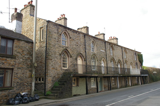
Billington Moor Plantation Images
Images are sourced within 2km of 53.804889/-2.4226791 or Grid Reference SD7234. Thanks to Geograph Open Source API. All images are credited.


Billington Moor Plantation is located at Grid Ref: SD7234 (Lat: 53.804889, Lng: -2.4226791)
Administrative County: Lancashire
District: Ribble Valley
Police Authority: Lancashire
What 3 Words
///tadpoles.ambition.gateway. Near Billington, Lancashire
Nearby Locations
Related Wikis
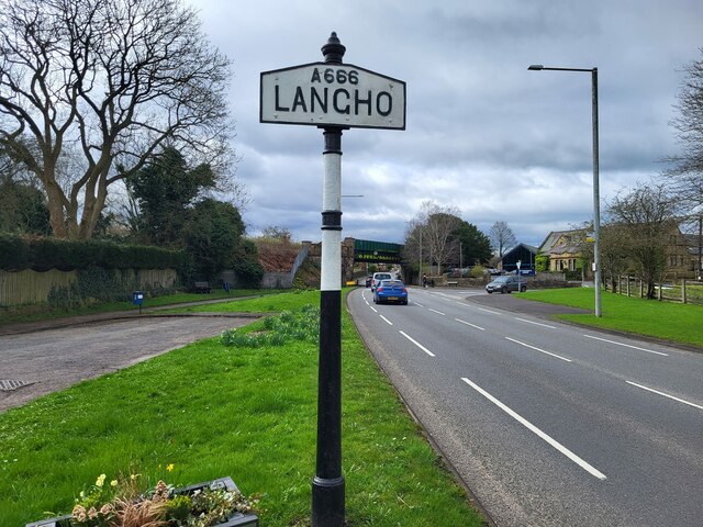
Billington and Langho
Billington and Langho is a civil parish in the Ribble Valley district of Lancashire, England, covering the villages of Billington and Langho and the hamlets...

Billington, Lancashire
Billington is a village in the Ribble Valley district of Lancashire, England. It lies between the villages of Whalley and Langho. It forms part of the...
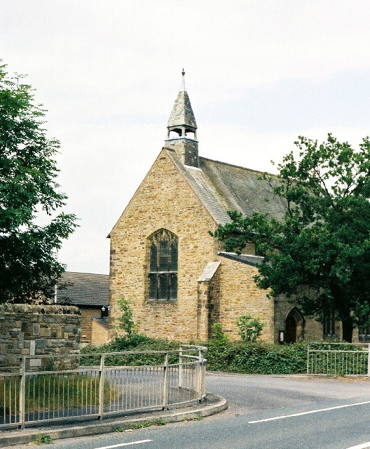
New St Leonard's Church, Langho
New St Leonard's Church is in Whalley New Road, between the villages of Langho and Billington in Lancashire, England. It is an active Anglican parish...

St Augustine's Roman Catholic High School, Billington
St Augustine's RC High School is a coeducational Roman Catholic secondary school located in Billington, Lancashire, England. == History == The school opened...
Nearby Amenities
Located within 500m of 53.804889,-2.4226791Have you been to Billington Moor Plantation?
Leave your review of Billington Moor Plantation below (or comments, questions and feedback).