Linnburn Plantation

Wood, Forest in Northumberland

England

Linnburn Plantation

Static caravan site at Haltwhistle
Static caravan site at Haltwhistle Credit: Chris Morgan

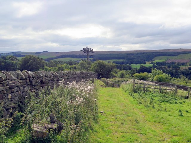
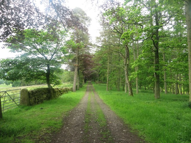
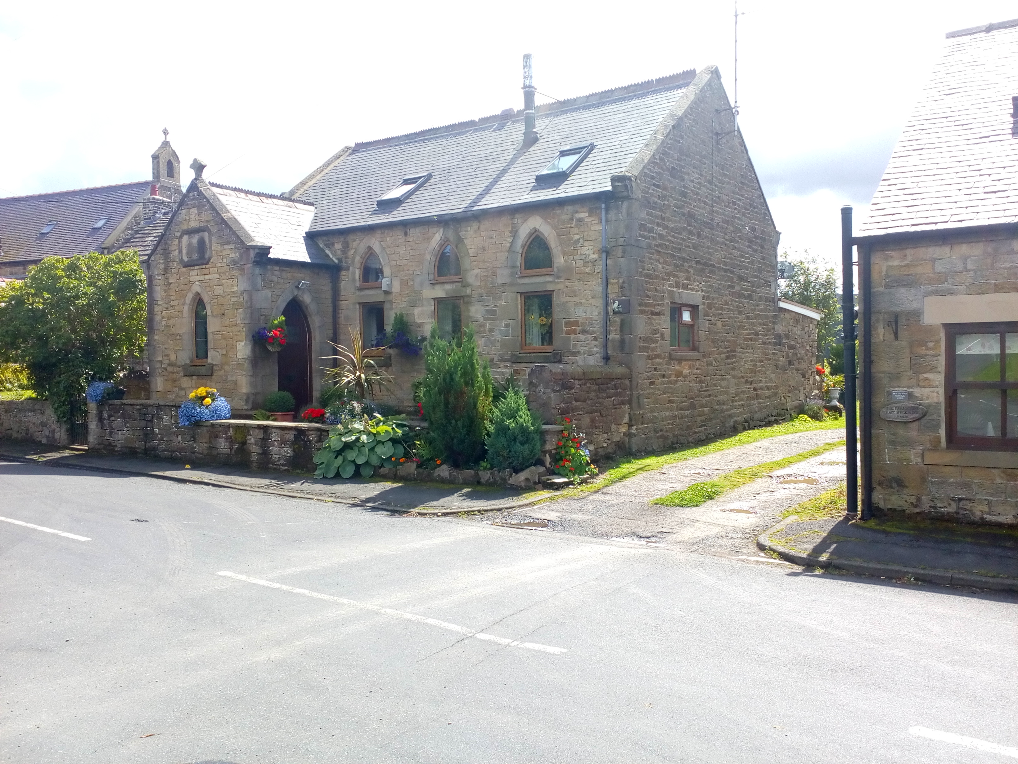
Linnburn Plantation is a sprawling woodland area located in Northumberland, England. Covering an impressive area of land, the plantation is primarily composed of dense forests and woodlands, making it a haven for nature enthusiasts and outdoor adventurers.

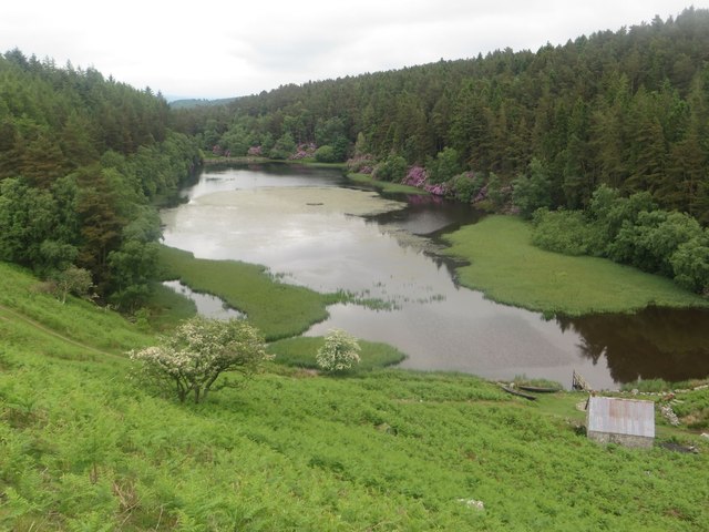
The plantation is known for its rich biodiversity, with a wide variety of plants, trees, and wildlife species calling it home. Ancient oak trees, beech trees, and conifers dominate the landscape, creating a picturesque setting that changes with the seasons. The forest floor is adorned with a carpet of wildflowers during the spring and summer months, adding vibrant colors to the surroundings.

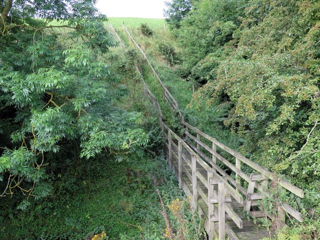
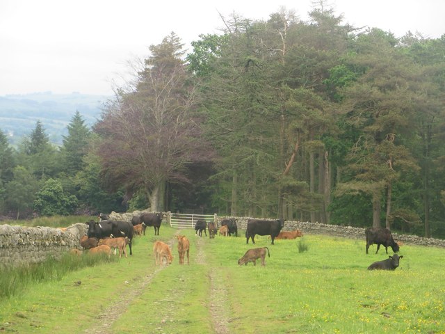
Linnburn Plantation offers numerous walking trails that wind through its enchanting woodlands. These trails cater to different skill levels, from leisurely strolls to more challenging hikes. Along the way, visitors may encounter various wildlife species such as deer, squirrels, and a plethora of bird species, making it a popular destination for birdwatching.

Apart from its natural beauty, Linnburn Plantation also holds historical significance. The area was once part of a grand estate dating back to the 18th century, known as Linnburn House. Although the house no longer stands, remnants of its foundations and gardens can still be glimpsed, adding an air of mystique to the plantation.

Overall, Linnburn Plantation is a captivating destination for those seeking tranquility in nature. With its diverse flora and fauna, scenic trails, and hints of history, it offers a truly immersive experience for all who visit.

If you have any feedback on the listing, please let us know in the comments section below.

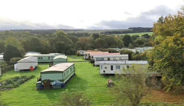
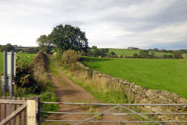
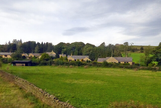
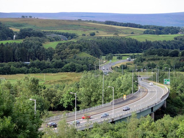
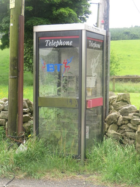
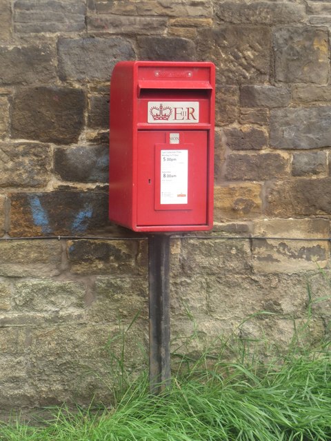
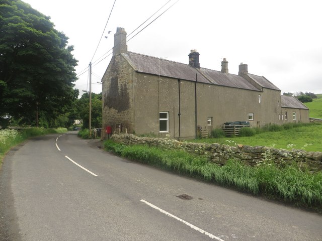
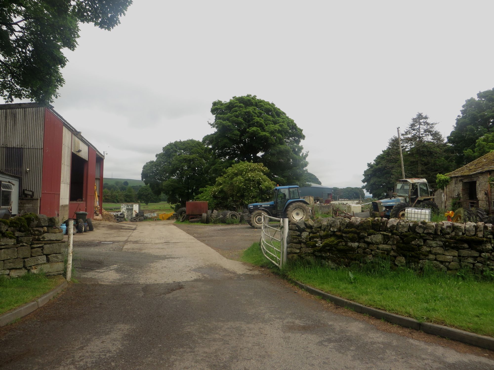
Linnburn Plantation Images

Images are sourced within 2km of 54.956525/-2.4291741 or Grid Reference NY7262. Thanks to Geograph Open Source API. All images are credited.

Static caravan site at Haltwhistle
Track across railway to Greengate Lane A public bridleway.
Track across railway to Greengate Lane
A public bridleway.
Houses on main road, Melkridge
A69 Haltwhistle bypass
Mobile phone mast south of Oakey Knowe
Footbridge south of Oakey Knowe
Alston Arches Viaduct crossing the River South Tyne, Haltwhistle A stone arched viaduct which once carried the Haltwhistle to Alston branch railway across the River South Tyne. The viaduct is now disused.
Alston Arches Viaduct crossing the River South Tyne, Haltwhistle
A stone arched viaduct which once carried the Haltwhistle to Alston branch railway across the River South Tyne. The viaduct is now disused.
Grassland and plantation Grassland in front of a large plantation. The gulley in the middle of the photo has a large mass of purple flowering shrubs on its sides.
Grassland and plantation
Grassland in front of a large plantation. The gulley in the middle of the photo has a large mass of purple flowering shrubs on its sides.
Farm track approaching Lake Wood Looking along the farm track and public footpath as it approaches the large Lake Wood plantation.
Farm track approaching Lake Wood
Looking along the farm track and public footpath as it approaches the large Lake Wood plantation.
The Lake Named on Ordnance Survey maps imaginatively as The Lake this body of water sits in a large gulley, partially surrounded by the equally imaginatively named Lake Wood plantation.
The Lake
Named on Ordnance Survey maps imaginatively as The Lake this body of water sits in a large gulley, partially surrounded by the equally imaginatively named Lake Wood plantation.
Grass field between Lake Wood and Sunny Plantation A field between Lake Wood and Sunny Plantation is occupied by a herd of suckler cows and their calves. They are standing on a track which is also a public footpath.
Grass field between Lake Wood and Sunny Plantation
A field between Lake Wood and Sunny Plantation is occupied by a herd of suckler cows and their calves. They are standing on a track which is also a public footpath.
Track through Sunny Plantation Looking along the track through Sunny Plantation which is also a public footpath.
Track through Sunny Plantation
Looking along the track through Sunny Plantation which is also a public footpath.
Road south of Plenmeller Looking towards Haltwhistle on the country road to the south of Plenmeller.
Road south of Plenmeller
Looking towards Haltwhistle on the country road to the south of Plenmeller.
East Plenmeller Farm The entrance into the steading of East Plenmeller Farm. Lots of aged farm machinery was dotted around the yard the vast majority of which had seen substantially better days.
East Plenmeller Farm
The entrance into the steading of East Plenmeller Farm. Lots of aged farm machinery was dotted around the yard the vast majority of which had seen substantially better days.
Road through Plenmeller Looking along the country road which passes through Plenmeller.
Road through Plenmeller
Looking along the country road which passes through Plenmeller.
Telephone box in Plenmeller The public telephone box in the hamlet of Plenmeller is so well used that it is currently standing in as a greenhouse to allow 5ft high nettles to be cultivated inside it.
Telephone box in Plenmeller
The public telephone box in the hamlet of Plenmeller is so well used that it is currently standing in as a greenhouse to allow 5ft high nettles to be cultivated inside it.
Postbox, Plenmeller A modern postbox mounted on a post beside the road which passes through the hamlet.
Postbox, Plenmeller
A modern postbox mounted on a post beside the road which passes through the hamlet.
The Homes, Plenmeller A row of cottages perpendicular to the minor road which passes through the hamlet of Plenmeller.
The Homes, Plenmeller
A row of cottages perpendicular to the minor road which passes through the hamlet of Plenmeller.
Show me another place!

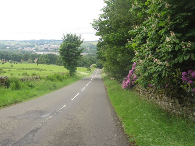
Linnburn Plantation is located at Grid Ref: NY7262 (Lat: 54.956525, Lng: -2.4291741)

Unitary Authority: Northumberland

Police Authority: Northumbria

What 3 Words

///cable.opinion.unframed. Near Haltwhistle, Northumberland

Related Wikis

Unthank, Haltwhistle

Unthank is a village near Haltwhistle in Northumberland, England. It is first mentioned in writing as Unthanc around 1200. == Governance == Unthank is...

Unthank Hall

Unthank Hall is a Grade II listed property now serving as commercial offices, situated on the southern bank of the River South Tyne east of Plenmeller...

Haltwhistle Burn

The Haltwhistle Burn is a river which lies to the east of the Northumbrian town of Haltwhistle. Rising in the peaty uplands below the ridge of the Whin...

Plenmeller

Plenmeller is a village and former civil parish, now in the parish of Plenmeller with Whitfield, in Northumberland, England about a mile (1½ km) southeast...

Melkridge

Melkridge is a village and civil parish in Northumberland, England, on the river South Tyne. The village of Melkridge is in the south of the parish, and...

Haltwhistle Castle

Haltwhistle Castle Hill is a ruined Norman earth and timber ringwork fortress in Haltwhistle, Northumberland, England. There are no extant stone remains...

Haltwhistle

Haltwhistle is a market town and civil parish in Northumberland, England, 22.9 miles (36.9 kilometres) east of Carlisle and 36.8 miles (59.2 kilometres...

Haltwhistle railway station

Haltwhistle is a railway station on the Tyne Valley Line, which runs between Newcastle and Carlisle via Hexham. The station, situated 22 miles 66 chains...

Have you been to Linnburn Plantation?

Leave your review of Linnburn Plantation below (or comments, questions and feedback).