Spring Coppice

Wood, Forest in Herefordshire

England

Spring Coppice

Lodge on the A44
Lodge on the A44 Credit: JThomas

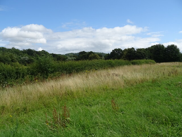
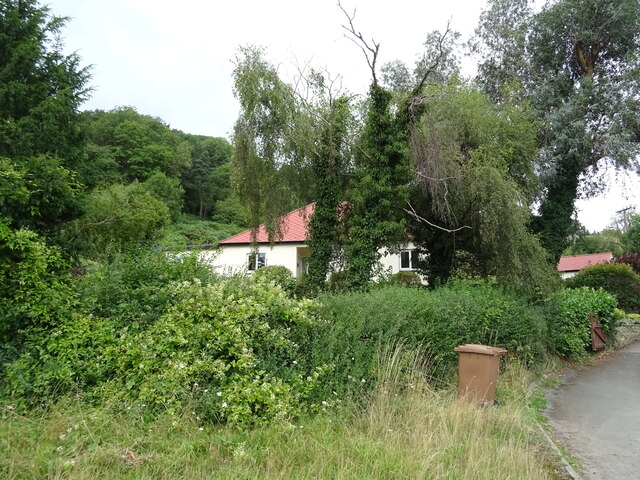
Spring Coppice is a picturesque wood located in Herefordshire, England. This enchanting forest spans over a vast area, covering approximately 100 acres of land. It is renowned for its unique blend of natural beauty and diverse wildlife, making it a popular destination for nature enthusiasts and hikers alike.

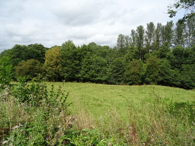
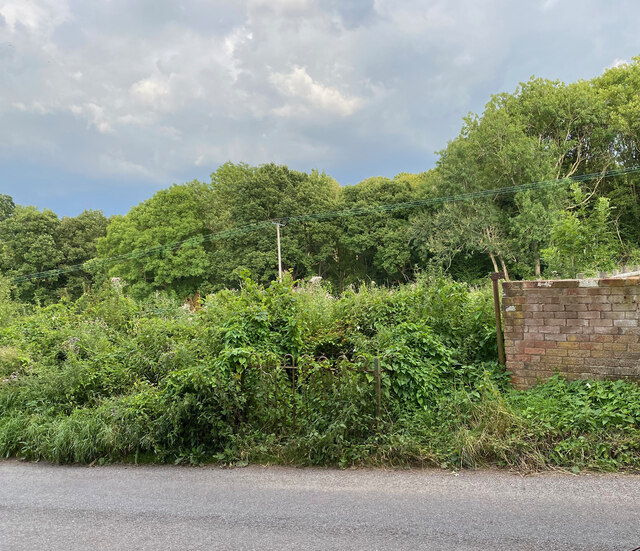
The woodland is characterized by its dense canopy of trees, predominantly consisting of oak, ash, and birch. These trees create a tranquil and serene atmosphere, providing a welcome respite from the hustle and bustle of everyday life. The forest floor is adorned with a vibrant carpet of wildflowers during the spring, further enhancing its charm and allure.

One of the highlights of Spring Coppice is its network of walking trails, which meander through the wood, allowing visitors to explore its hidden treasures. These trails offer breathtaking views of the surrounding countryside and provide opportunities to spot various wildlife species, including deer, rabbits, and a plethora of bird species.

The wood also boasts a diverse ecosystem, with a range of habitats, including ponds and streams. These water features attract an array of aquatic creatures, adding to the biodiversity of the area. It is not uncommon to see frogs, newts, and dragonflies darting around the water's edge.

Spring Coppice is a haven for nature lovers, offering a peaceful and immersive experience in the heart of Herefordshire's countryside. Whether you are seeking a quiet stroll, a picnic spot, or a chance to reconnect with nature, this enchanting woodland is sure to captivate your senses and leave a lasting impression.

If you have any feedback on the listing, please let us know in the comments section below.

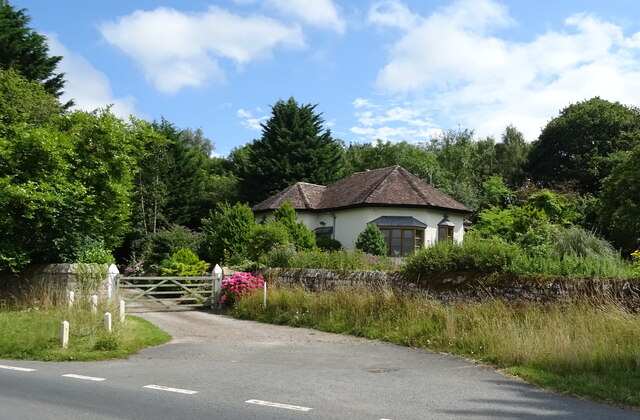
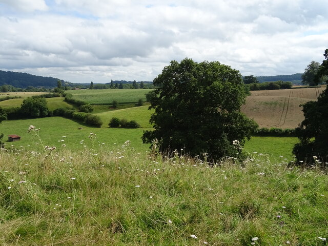
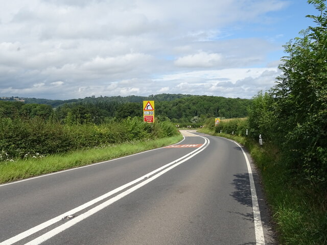
Spring Coppice Images

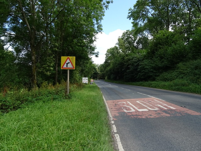
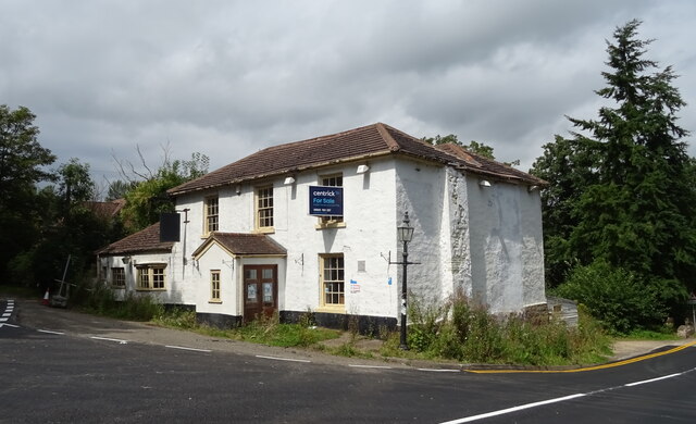
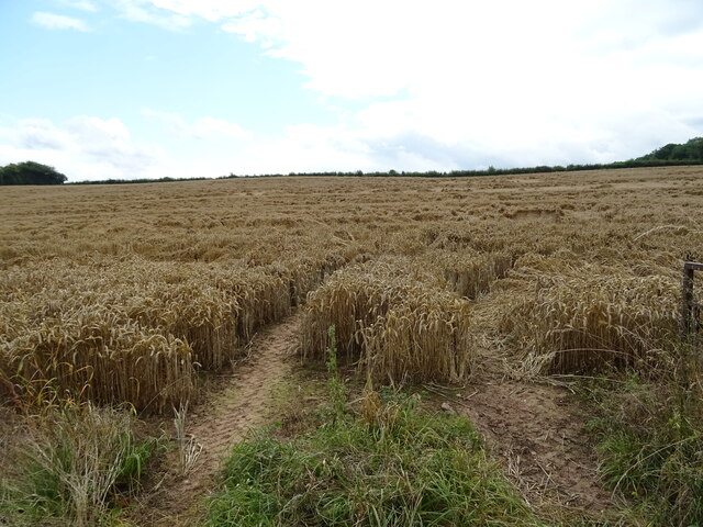
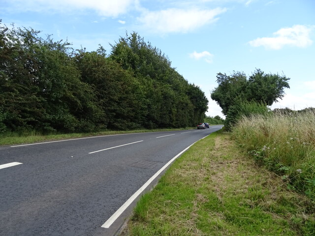
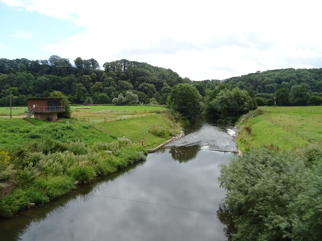
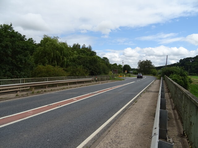
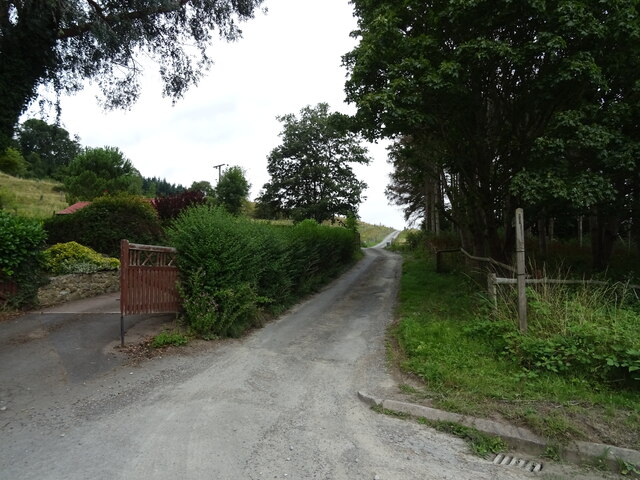
Images are sourced within 2km of 52.204258/-2.4021379 or Grid Reference SO7256. Thanks to Geograph Open Source API. All images are credited.

Lodge on the A44
Lodge on the A44
Grazing off the A44
Grazing off the A44
A44 towards Worcester
Grazing towards the Sapey Brook
A44 approaching Sapey Bridge Towards Worcester.
A44 approaching Sapey Bridge
Towards Worcester.
The Wheatsheaf, Whitbourne Currently closed and for sale.
The Wheatsheaf, Whitbourne
Currently closed and for sale.
Sign for the Wheatsheaf, Whitbourne
Grassland beside the A44, Sapey Bridge
Cereal crop, Sapey Bridge South of the A44.
Cereal crop, Sapey Bridge
South of the A44.
A44, Sapey Bridge Towards Worcester.
A44, Sapey Bridge
Towards Worcester.
Weir on the River Teme, Knightwick View from Knightsford Bridge.
Weir on the River Teme, Knightwick
View from Knightsford Bridge.
A44, Knightsford Bridge Towards Worcester.
A44, Knightsford Bridge
Towards Worcester.
Track (footpath) off the A44, Darbys Green
Shortlands House on the A44, Darbys Green.
Shortlands
House on the A44, Darbys Green.
Barn, Darbys Green
Barn, Darbys Green
Bend in the A44, Darbys Green Towards Worcester.
Bend in the A44, Darbys Green
Towards Worcester.
Location of Suckley FBM <span class="nowrap"><a title="http://trigpointing.uk/trig/532" rel="nofollow ugc noopener" href="http://trigpointing.uk/trig/532">Link</a><img style="margin-left:2px;" alt="External link" title="External link - shift click to open in new window" src="https://s1.geograph.org.uk/img/external.png" width="10" height="10"/></span>
Location of Suckley FBM
Old Bridge Marker on the A44 Bridge Marker fixed to the south parapet of Knightsford Bridge, River Teme, on the A44. On the boundary of Knightwick and Doddenham parishes. See also <a title="https://www.geograph.org.uk/photo/554531" href="https://www.geograph.org.uk/photo/554531">Link</a>.

Milestone Society National ID: WO_KNIDOD01br
Old Bridge Marker on the A44
Bridge Marker fixed to the south parapet of Knightsford Bridge, River Teme, on the A44. On the boundary of Knightwick and Doddenham parishes. See also Link. Milestone Society National ID: WO_KNIDOD01br
Show me another place!

Spring Coppice is located at Grid Ref: SO7256 (Lat: 52.204258, Lng: -2.4021379)

Unitary Authority: County of Herefordshire

Police Authority: West Mercia

What 3 Words

///handed.trades.ribcage. Near Bromyard, Herefordshire

Related Wikis

Whitbourne, Herefordshire

Whitbourne (Anglo-Saxon for "white stream") is a village in Eastern Herefordshire, England on the banks of the River Teme and close to the A44. It is close...

Knightwick

Knightwick is a small village and civil parish (with Doddenham) in the Malvern Hills district in the county of Worcestershire, England. == History... ==

Ankerdine Hill

Ankerdine Hill is a hill with a summit at 149 metres (489 ft) above sea level, in the civil parish of Doddenham in the Malvern Hills district of Worcestershire...

Osebury Rock

Osebury Rock (also known as Oseberrow or Rosebury) is a cliff on the River Teme near Lulsley in Worcestershire, England where fragmentary rocks of the...

Nearby Amenities

Located within 500m of 52.204258,-2.4021379
Power: pole
Lat/Long: 52.2028924/-2.4088161
Power: pole
Lat/Long: 52.2026577/-2.4071626
Monks Orchard
Power: pole
Transformer: distribution
Voltage Primary: 11000
Lat/Long: 52.2025299/-2.4062526
Power: pole
Lat/Long: 52.2022349/-2.4053594
Holly Bush Lodge
Power: pole
Transformer: distribution
Voltage Primary: 11000
Lat/Long: 52.2016537/-2.403618
Power: pole
Lat/Long: 52.2012518/-2.4024218
Court Buildings
Power: pole
Transformer: distribution
Voltage Primary: 11000
Lat/Long: 52.2057041/-2.4035436
Whitbourne Sewage Disposal Works
Power: pole
Transformer: distribution
Voltage Primary: 11000
Lat/Long: 52.2037225/-2.4025914
Power: pole
Lat/Long: 52.2030268/-2.4022923
Power: pole
Lat/Long: 52.2025546/-2.4020811
Power: pole
Lat/Long: 52.2016003/-2.4016647
Power: pole
Lat/Long: 52.2008992/-2.4013609
Power: pole
Lat/Long: 52.2011914/-2.3998998
Power: pole
Lat/Long: 52.2014844/-2.3984414
Power: pole
Lat/Long: 52.201694/-2.3973859
Power: pole
Lat/Long: 52.2018929/-2.3963251
The data included in this document is from www.openstreetmap.org. The data is made available under ODbL.

Have you been to Spring Coppice?

Leave your review of Spring Coppice below (or comments, questions and feedback).