Anderson's Plantation

Wood, Forest in Northumberland

England

Anderson's Plantation

Forest Track, Sidwood Forest
Forest Track, Sidwood Forest Credit: Les Hull

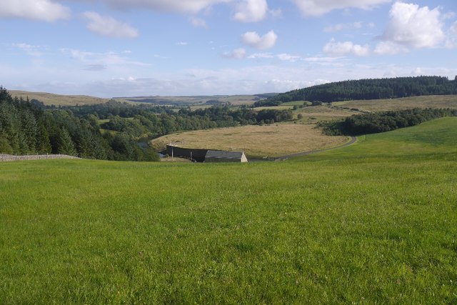
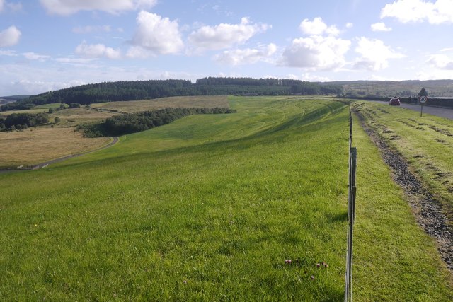
Anderson's Plantation is a picturesque woodland area located in the Northumberland region of England. Situated within the heart of the county, this plantation covers a vast area of approximately 500 acres, offering a serene and tranquil escape from the bustling city life.

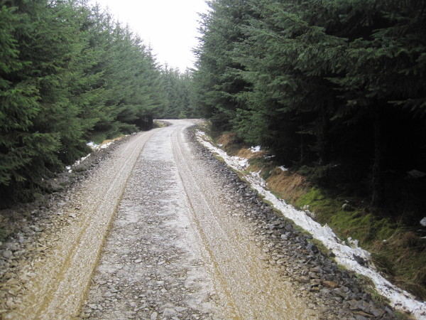
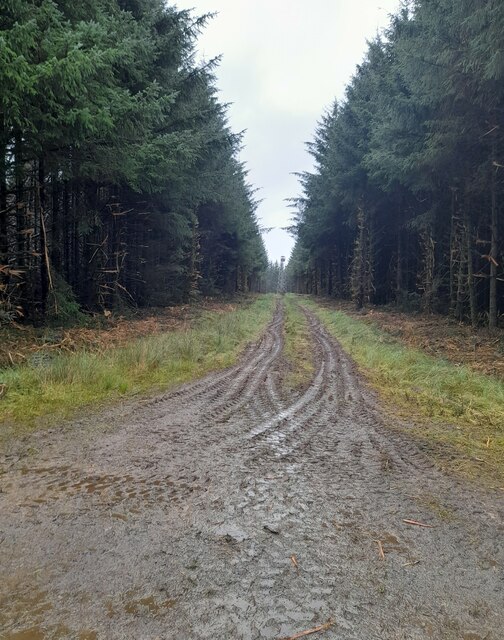
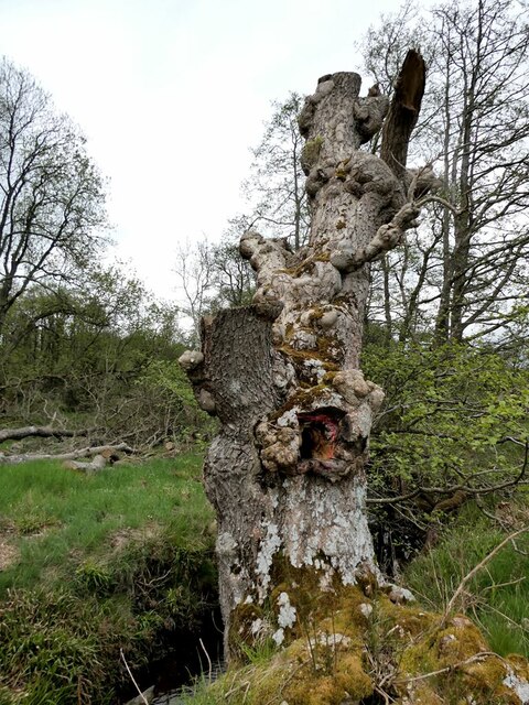
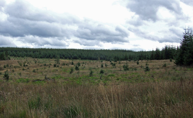
The plantation is known for its dense forest, comprised mainly of towering oak and beech trees, creating a stunning canopy that provides shade and shelter for the diverse wildlife that inhabits the area. The woodland is home to numerous species of animals, including deer, foxes, badgers, and a wide array of bird species, making it a popular spot for nature enthusiasts and birdwatchers.

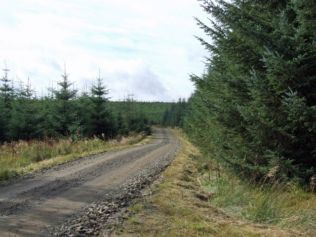
Walking through the plantation, visitors are greeted by a network of well-maintained trails and paths, offering an opportunity to explore the natural beauty of the area. These paths wind through the woodland, leading to hidden clearings, babbling brooks, and peaceful ponds, adding to the enchanting atmosphere of the plantation.

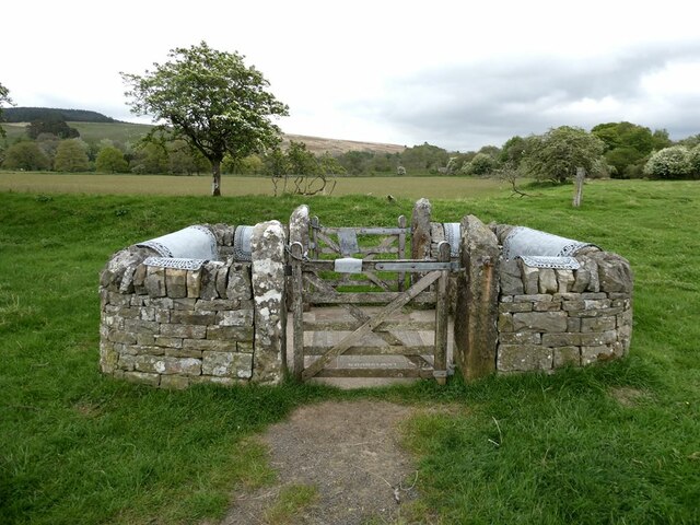
Anderson's Plantation is not only a haven for wildlife but also a historical gem. The plantation has a rich history dating back several centuries, with remnants of ancient stone structures and ruins scattered throughout the area. These remnants serve as a reminder of the plantation's past and add a sense of mystery and intrigue to the overall experience.

Overall, Anderson's Plantation is a treasure trove of natural beauty, wildlife, and history. Its lush forest, well-maintained trails, and historical significance make it a must-visit destination for those seeking a peaceful retreat in the heart of Northumberland.

If you have any feedback on the listing, please let us know in the comments section below.

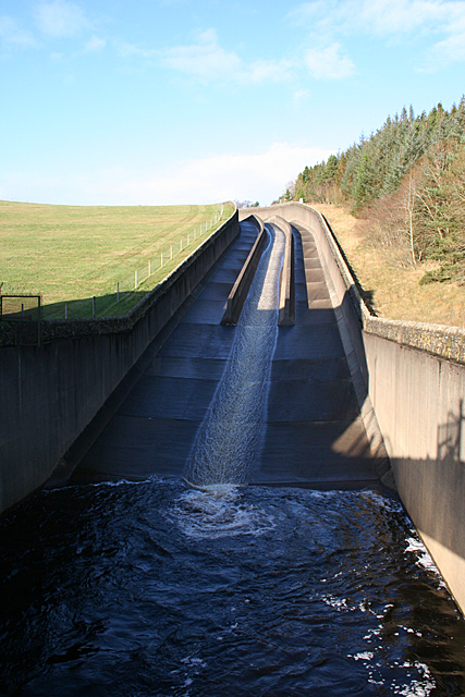
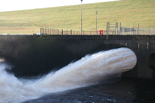
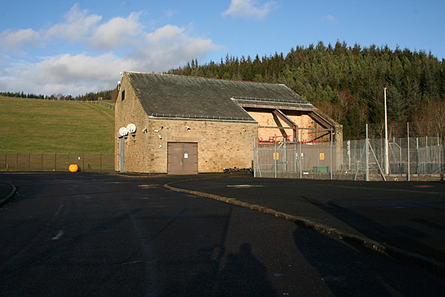
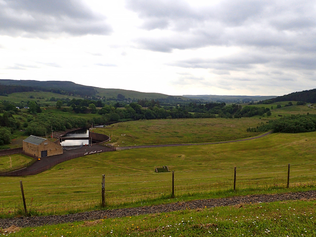
Anderson's Plantation Images

Images are sourced within 2km of 55.19101/-2.4315672 or Grid Reference NY7288. Thanks to Geograph Open Source API. All images are credited.

Forest Track, Sidwood Forest
Track to fire observation point Track to fire observation point on Mid Fell.
Track to fire observation point
Track to fire observation point on Mid Fell.
"The Stell" at Falstone See <a href="https://www.geograph.org.uk/photo/3025489">NY7187 : Stell, Falstone</a> for details.
"The Stell" at Falstone
See NY7187 : Stell, Falstone for details.
"The Stell" at Falstone For details, see <a href="https://www.geograph.org.uk/photo/3025489">NY7187 : Stell, Falstone</a>.
"The Stell" at Falstone
For details, see NY7187 : Stell, Falstone.
"The Stell" at Falstone For details, see <a href="https://www.geograph.org.uk/photo/3025489">NY7187 : Stell, Falstone</a>.
"The Stell" at Falstone
For details, see NY7187 : Stell, Falstone.
Sculptural tree trunk at Hawkshope Complete with a hobbit hole.
Sculptural tree trunk at Hawkshope
Complete with a hobbit hole.
Children's play area at Falstone
The Pikes View looking across a clearing in the forest towards The Pikes.
The Pikes
View looking across a clearing in the forest towards The Pikes.
Forest Track Track near The Pikes in Kielder Forest.
Forest Track
Track near The Pikes in Kielder Forest.
Rainbow over Kielder Dam As we approached the foot of the dam we were treated to the sight of a complete arch of rainbow.
Rainbow over Kielder Dam
As we approached the foot of the dam we were treated to the sight of a complete arch of rainbow.
Wintering Boats These boats are available for hire on Kielder reservoir in summer, but in winter they are stored underground inside the tunnel leading to the valve tower.
Wintering Boats
These boats are available for hire on Kielder reservoir in summer, but in winter they are stored underground inside the tunnel leading to the valve tower.
The Spillway We arrived a day or two too late to see the spillway at its most dramatic, at the height of Storm Desmond, which filled the reservoir to its brim.
The Spillway
We arrived a day or two too late to see the spillway at its most dramatic, at the height of Storm Desmond, which filled the reservoir to its brim.
Scour Pipe The scour pipe, 3 metres in diameter, is the lowest point at which water can be taken from the reservoir. It is used when water levels are very high, and the force of the water helps to clear silt out of the bottom of the reservoir.
Scour Pipe
The scour pipe, 3 metres in diameter, is the lowest point at which water can be taken from the reservoir. It is used when water levels are very high, and the force of the water helps to clear silt out of the bottom of the reservoir.
Dam Building This modest building at the foot of the dam is where the water flow is controlled from. This was taken from outside the secure compound surrounding the working parts of the dam.
Dam Building
This modest building at the foot of the dam is where the water flow is controlled from. This was taken from outside the secure compound surrounding the working parts of the dam.
The North Tyne Valley View from the dam wall.
The North Tyne Valley
View from the dam wall.
Ordnance Survey rivet The rivet indicates an elevation of 138.52m a.s.l. and was placed by the Ordnance Survey.
Ordnance Survey rivet
The rivet indicates an elevation of 138.52m a.s.l. and was placed by the Ordnance Survey.
Kielder Water dam The North Tyne emerges from Kielder Water.
Kielder Water dam
The North Tyne emerges from Kielder Water.
Kielder Water Dam The road serves the car park and forest on the northern side.
Kielder Water Dam
The road serves the car park and forest on the northern side.
Show me another place!

Anderson's Plantation is located at Grid Ref: NY7288 (Lat: 55.19101, Lng: -2.4315672)

Unitary Authority: Northumberland

Police Authority: Northumbria

What 3 Words

///dolphins.snuck.hinted. Near Bellingham, Northumberland

Related Wikis

Have you been to Anderson's Plantation?

Leave your review of Anderson's Plantation below (or comments, questions and feedback).