Hollows Hill
Hill, Mountain in Northumberland
England
Hollows Hill
Hollows Hill is a prominent hill located in the county of Northumberland, England. Situated in the picturesque North Pennines, it is a well-known landmark in the region. Rising to an elevation of approximately 500 meters (1,640 feet), Hollows Hill offers breathtaking panoramic views of the surrounding countryside.
The hill is characterized by its distinct hollow shape, which is believed to have been formed by glacial activity during the last Ice Age. This unique feature adds to the charm and allure of the area, attracting visitors from far and wide.
Hollows Hill is covered by a variety of vegetation, including heather, grasses, and scattered patches of trees. The diverse flora provides a habitat for various wildlife species, such as birds, small mammals, and insects. It is also home to a number of sheep farms, which contribute to the pastoral beauty of the landscape.
The hill is a popular destination for outdoor enthusiasts, offering opportunities for hiking, walking, and photography. Numerous trails crisscross the area, providing access to the summit and allowing visitors to explore the natural beauty of Hollows Hill and its surroundings.
In addition to its natural attractions, Hollows Hill also holds historical significance. It is believed to have been inhabited by ancient civilizations, with remnants of settlements and burial mounds discovered in the vicinity. These archaeological findings provide valuable insights into the area's rich past.
Overall, Hollows Hill in Northumberland is a captivating destination that combines natural beauty, outdoor activities, and historical intrigue.
If you have any feedback on the listing, please let us know in the comments section below.
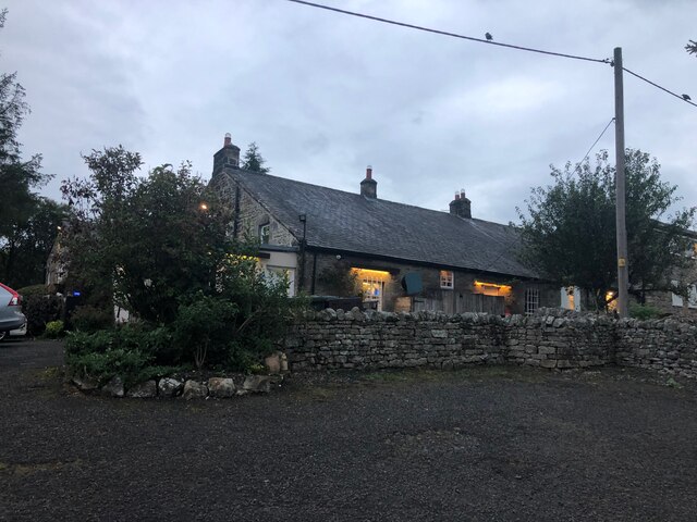
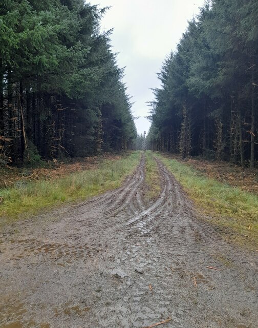
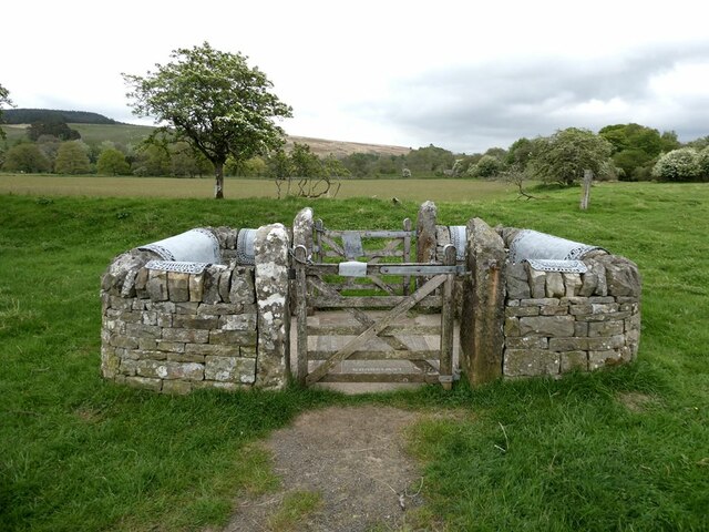
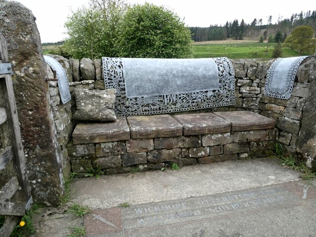
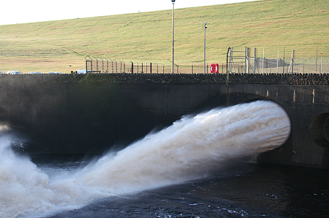
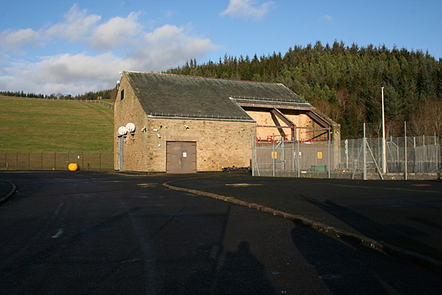
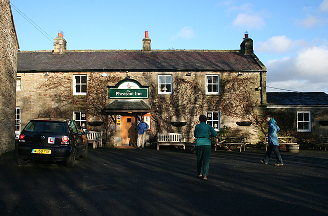
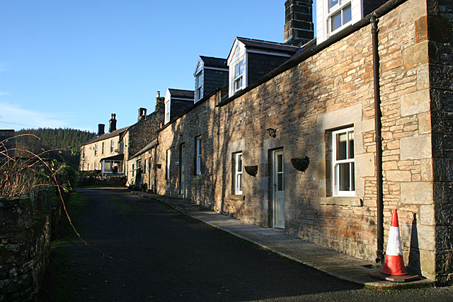
Hollows Hill Images
Images are sourced within 2km of 55.18701/-2.4268437 or Grid Reference NY7288. Thanks to Geograph Open Source API. All images are credited.
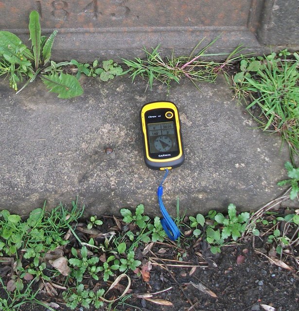


Hollows Hill is located at Grid Ref: NY7288 (Lat: 55.18701, Lng: -2.4268437)
Unitary Authority: Northumberland
Police Authority: Northumbria
What 3 Words
///self.crouching.fellow. Near Bellingham, Northumberland
Nearby Locations
Related Wikis
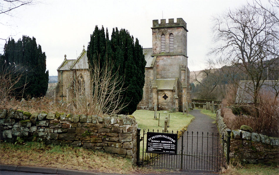
Falstone
Falstone is a small village in Northumberland, England, just east of Kielder Water. The village is 8 miles (13 km) from the Anglo–Scottish border. The...

Falstone railway station
Falstone railway station is a former railway station that served the hamlet of Falstone, in Northumberland, England. == History == The station was on the...

Falstone Bridge
Falstone Bridge is a stone bridge across the River North Tyne at Falstone in Northumberland. == History == The bridge, which has three stone arches, was...

Thorneyburn
Thorneyburn is a village and former civil parish, now in the parish of Tarset, in Northumberland, England, to the northwest of Bellingham. In 1951 the...
Have you been to Hollows Hill?
Leave your review of Hollows Hill below (or comments, questions and feedback).