Castle Knowe

Hill, Mountain in Roxburghshire

Scotland

Castle Knowe

Old milestone Travelling southwards, turning left over the Cessford Burn, then right, this milestone is just to the left in the very small lane, part of a cycle route leading to the B6401 west of Morebattle.   The cottages at the west side of the burn can be seen in the distance.
Old milestone Credit: Chris Minto

Castle Knowe is a prominent hill located in the county of Roxburghshire, Scotland. Standing at an elevation of approximately 366 meters (1,201 feet), it is a notable landmark in the area. The hill is situated near the village of Roxburgh, close to the border with England.

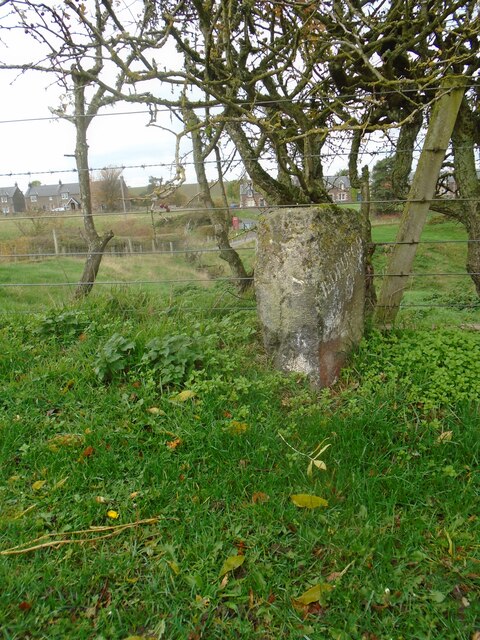
Castle Knowe derives its name from the remnants of a medieval castle that once stood atop its summit. The castle, believed to have been built in the 12th century, was an important stronghold during the turbulent times of Scottish history. Today, only the earthworks and some stone foundations remain, serving as a testament to its historical significance.

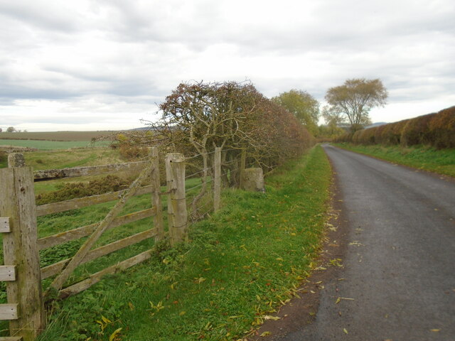
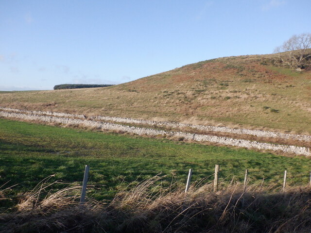
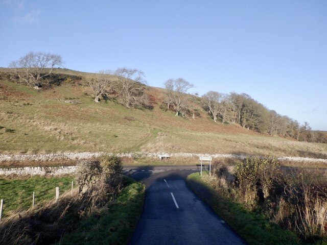
The hill itself is renowned for its rugged beauty and picturesque views. With its rolling slopes and lush vegetation, Castle Knowe offers a scenic landscape for visitors and hikers to enjoy. The surrounding area is dotted with walking trails, making it an ideal destination for outdoor enthusiasts.

Castle Knowe is not only a popular spot for recreational activities but also serves as a habitat for various wildlife species. The hill is home to a diverse range of flora and fauna, including birds, mammals, and plant species. This biodiversity adds to the allure of Castle Knowe, attracting nature lovers and birdwatchers alike.

Overall, Castle Knowe in Roxburghshire is a remarkable hill that combines historical significance with natural beauty. Its ancient castle ruins, stunning vistas, and ecological diversity make it a captivating destination for both locals and tourists seeking to immerse themselves in the rich heritage and natural wonders of Scotland.

If you have any feedback on the listing, please let us know in the comments section below.

Castle Knowe Images

Images are sourced within 2km of 55.50202/-2.4301359 or Grid Reference NT7223. Thanks to Geograph Open Source API. All images are credited.

Old milestone Travelling southwards, turning left over the Cessford Burn, then right, this milestone is just to the left in the very small lane, part of a cycle route leading to the B6401 west of Morebattle.   The cottages at the west side of the burn can be seen in the distance.
Old milestone
Travelling southwards, turning left over the Cessford Burn, then right, this milestone is just to the left in the very small lane, part of a cycle route leading to the B6401 west of Morebattle. The cottages at the west side of the burn can be seen in the distance.
Old milestone Looking north along the lane leading to the castle on the east side of the Cessford Burn.   This may have been the original line of this route with a track leading northwards from the right-hand bend beyond the castle and crossing the Cessford Burn nearly a mile further north than the current bridge.
Old milestone
Looking north along the lane leading to the castle on the east side of the Cessford Burn. This may have been the original line of this route with a track leading northwards from the right-hand bend beyond the castle and crossing the Cessford Burn nearly a mile further north than the current bridge.
Road near Samieston
Road near Samieston
North side of Bank Hill
Marchcleuch Now used for training racehorses
Marchcleuch
Now used for training racehorses
Gallops, Marchcleuch
Farm buildings, Cessford
Spare land, Cessford Obviously something had changed here - a small patch of ground near a large collection of farm buildings. It is the site of a millpond.
Spare land, Cessford
Obviously something had changed here - a small patch of ground near a large collection of farm buildings. It is the site of a millpond.
Oilseed rape, Cessford View towards Hownam Law
Oilseed rape, Cessford
View towards Hownam Law
Scots pines near Cessford
Farm track, Cessford
Ruin, Bank Hill A stone rectangle and other earthworks shown by LIDAR on the south side of the hill. Marked as a "settlement" by the Ordnance Survey and not fortified.
Ruin, Bank Hill
A stone rectangle and other earthworks shown by LIDAR on the south side of the hill. Marked as a "settlement" by the Ordnance Survey and not fortified.
Drought affected slope, Bank Hill Taken in a prolonged spell of wet weather, but still brown after April - June 2023 when there was little rain.
Drought affected slope, Bank Hill
Taken in a prolonged spell of wet weather, but still brown after April - June 2023 when there was little rain.
Summit area, Bank Hill The highest ground is by the triangulation pillar.
Summit area, Bank Hill
The highest ground is by the triangulation pillar.
Summit, Bank Hill A field with Aberdeen Angus cattle.
Summit, Bank Hill
A field with Aberdeen Angus cattle.
Gate, Bank Hill Blocked by an electric fence.
Gate, Bank Hill
Blocked by an electric fence.
Gallops, Marchcleuch
Cattle, west of Bank Hill
Show me another place!

Castle Knowe is located at Grid Ref: NT7223 (Lat: 55.50202, Lng: -2.4301359)

Unitary Authority: The Scottish Borders

Police Authority: The Lothians and Scottish Borders

What 3 Words

///mend.tooth.luxury. Near Jedburgh, Scottish Borders

Related Wikis

Cessford, Scottish Borders

Cessford is a hamlet and former barony about a mile south of the B6401 road, in the Scottish Borders area of Scotland. The placename is from Gaelic 'ceis...

Cessford Castle

Cessford Castle is a large ruined mid-15th century L-plan castle near the village of Cessford, midway Jedburgh and Kelso, in the historic county of Roxburghshire...

Cessford Burn

Cessford Burn is a small stream which eventually runs to meet the Kale Water and then joins the River Teviot, finally entering the River Tweed at Kelso...

Crailinghall

Crailinghall is a village near Oxnam in the Scottish Borders area of Scotland, in the former Roxburghshire. Crailinghall is on the route of the St. Cuthbert...

Eckford, Scottish Borders

Eckford is a small village located between the larger towns of Kelso and Jedburgh in the Scottish Borders. The village is in close proximity to both the...

Kale Water

The Kale Water is a 20 miles (32 km) long tributary of the River Teviot in the Scottish Borders area of Scotland. Its feeder burns in the Cheviot Hills...

Crailing

Crailing is a village on the A698, in Teviotdale, 4m east of Jedburgh in the Scottish Borders area of Scotland, in the historic county of Roxburghshire...

Roxburghshire

Roxburghshire or the County of Roxburgh (Scottish Gaelic: Siorrachd Rosbroig) is a historic county and registration county in the Southern Uplands of Scotland...

Nearby Amenities

Located within 500m of 55.50202,-2.4301359
Castle Knowe
Natural: peak
Lat/Long: 55.5021023/-2.4296265
Bankhill Cottage
Place: isolated_dwelling
Lat/Long: 55.4985018/-2.4297298
Power: pole
Lat/Long: 55.4981426/-2.426278
Material: wood
Power: pole
Lat/Long: 55.4994294/-2.4251729
Power: pole
Lat/Long: 55.5000097/-2.4246901
Power: pole
Lat/Long: 55.5006994/-2.4240974
Power: pole
Lat/Long: 55.5013785/-2.4235421
Power: pole
Lat/Long: 55.5025414/-2.4223056
Power: pole
Lat/Long: 55.4981529/-2.4281213
Power: pole
Lat/Long: 55.4985073/-2.4291513
Power: pole
Lat/Long: 55.4986669/-2.4258277
The data included in this document is from www.openstreetmap.org. The data is made available under ODbL.

Have you been to Castle Knowe?

Leave your review of Castle Knowe below (or comments, questions and feedback).