Milldam Plantation

Wood, Forest in Northumberland

England

Milldam Plantation

Static caravan site at Haltwhistle
Static caravan site at Haltwhistle Credit: Chris Morgan

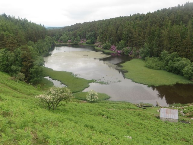
Milldam Plantation, located in Northumberland, is a picturesque woodland area renowned for its natural beauty and rich history. Covering approximately 500 acres, this enchanting forest offers visitors a tranquil retreat from the bustling city life.

Once an active plantation, Milldam was primarily used for timber production during the 19th century. The remnants of this era can still be seen today in the form of old sawmill ruins and disused logging tracks, giving the site an intriguing historical charm.

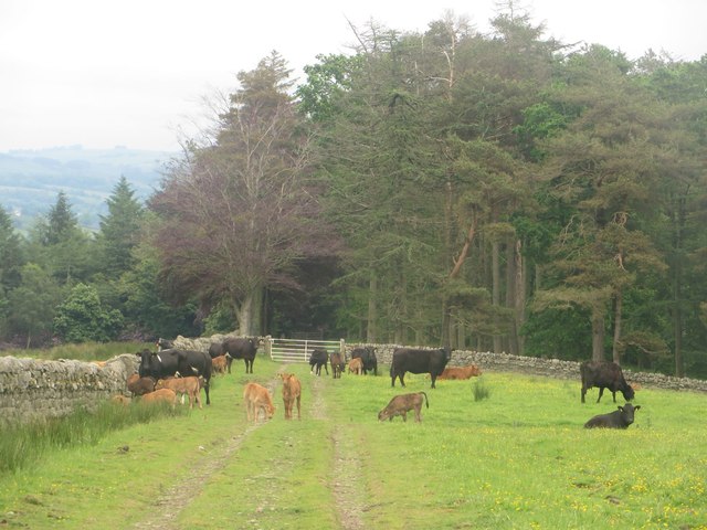
The woodland boasts an impressive variety of tree species, including oak, ash, beech, and pine. These majestic trees provide a haven for numerous bird species, making it a popular spot for birdwatchers and nature enthusiasts. The plantation is also home to a diverse range of wildlife, such as deer, badgers, and squirrels, creating a haven for wildlife enthusiasts and photographers alike.

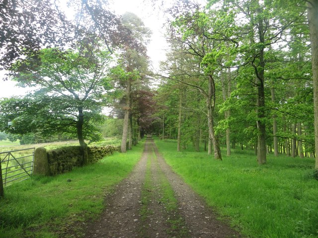
Visitors to Milldam Plantation can explore its many walking trails and enjoy the peaceful ambiance of the forest. The well-maintained paths offer opportunities for leisurely strolls or more adventurous hikes, catering to all fitness levels. The forest is also a popular destination for picnics and family outings, with designated areas equipped with benches and picnic tables.

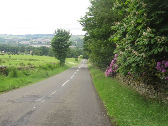
Thanks to its proximity to Northumberland's charming villages and historic sites, Milldam Plantation serves as an ideal base for exploring the region. Its serene atmosphere and natural beauty make it a must-visit destination for those seeking a tranquil escape in the heart of nature.

If you have any feedback on the listing, please let us know in the comments section below.

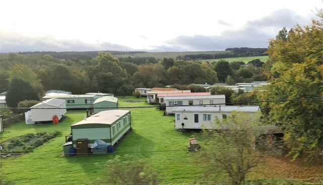
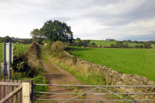
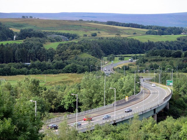
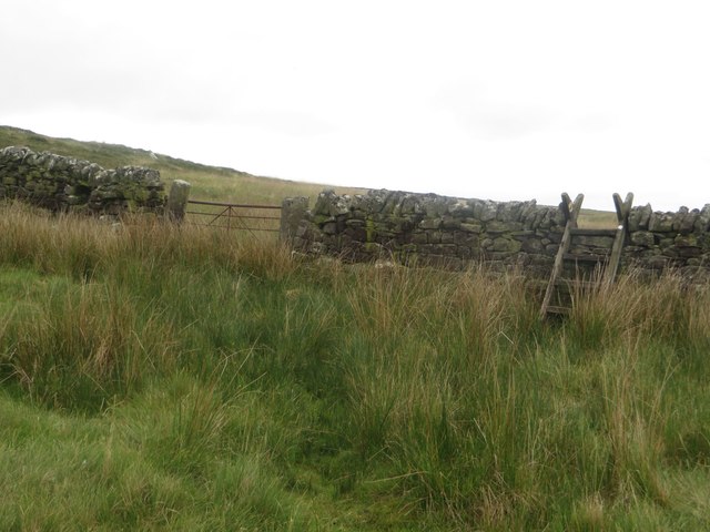
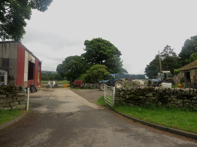
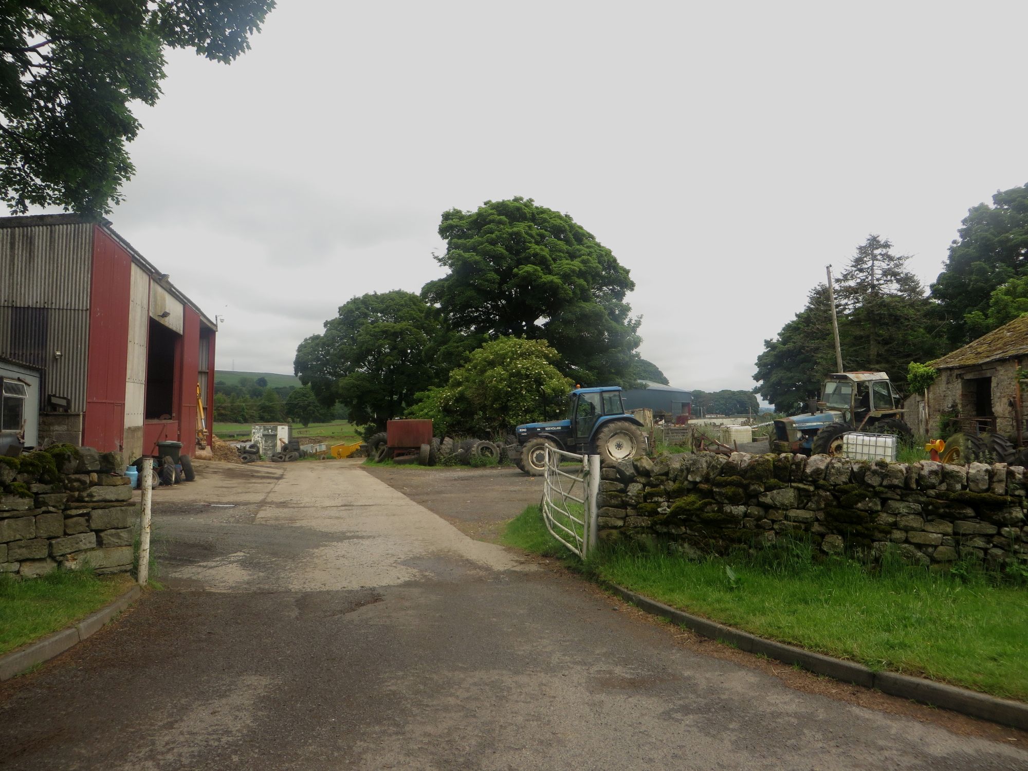
Milldam Plantation Images

Images are sourced within 2km of 54.952372/-2.4372022 or Grid Reference NY7262. Thanks to Geograph Open Source API. All images are credited.

Static caravan site at Haltwhistle
Track across railway to Greengate Lane A public bridleway.
Track across railway to Greengate Lane
A public bridleway.
A69 Haltwhistle bypass
Alston Arches Viaduct crossing the River South Tyne, Haltwhistle A stone arched viaduct which once carried the Haltwhistle to Alston branch railway across the River South Tyne. The viaduct is now disused.
Alston Arches Viaduct crossing the River South Tyne, Haltwhistle
A stone arched viaduct which once carried the Haltwhistle to Alston branch railway across the River South Tyne. The viaduct is now disused.
Trees in Bellister Wood Some of the trees on the bank on which Bellister Wood stands.
Trees in Bellister Wood
Some of the trees on the bank on which Bellister Wood stands.
Field edge footpath Looking along the line of a public footpath which follows the edge of this grass field beside Bellister Wood.
Field edge footpath
Looking along the line of a public footpath which follows the edge of this grass field beside Bellister Wood.
Cattle on Broomhouse Common A small number of cattle observing me passing across Broomhouse Common close to where they were grazing.
Cattle on Broomhouse Common
A small number of cattle observing me passing across Broomhouse Common close to where they were grazing.
Footpath crossing Broomhouse Common A public footpath crossing the lumps and bumps of Broomhouse Common.
Footpath crossing Broomhouse Common
A public footpath crossing the lumps and bumps of Broomhouse Common.
Stile on Broomhouse Common A stile crossing a stone wall on the path from Broomhouse Common to Warren House.
Stile on Broomhouse Common
A stile crossing a stone wall on the path from Broomhouse Common to Warren House.
Warren House, Watch Hill Warren House is a derelict shepherds house sheltered by a couple of small woodlands on Watch Hill.
Warren House, Watch Hill
Warren House is a derelict shepherds house sheltered by a couple of small woodlands on Watch Hill.
Track on Watch Hill A farm track on grassland at Watch Hill.
Track on Watch Hill
A farm track on grassland at Watch Hill.
Grassland and plantation Grassland in front of a large plantation. The gulley in the middle of the photo has a large mass of purple flowering shrubs on its sides.
Grassland and plantation
Grassland in front of a large plantation. The gulley in the middle of the photo has a large mass of purple flowering shrubs on its sides.
Farm track approaching Lake Wood Looking along the farm track and public footpath as it approaches the large Lake Wood plantation.
Farm track approaching Lake Wood
Looking along the farm track and public footpath as it approaches the large Lake Wood plantation.
The Lake Named on Ordnance Survey maps imaginatively as The Lake this body of water sits in a large gulley, partially surrounded by the equally imaginatively named Lake Wood plantation.
The Lake
Named on Ordnance Survey maps imaginatively as The Lake this body of water sits in a large gulley, partially surrounded by the equally imaginatively named Lake Wood plantation.
Grass field between Lake Wood and Sunny Plantation A field between Lake Wood and Sunny Plantation is occupied by a herd of suckler cows and their calves. They are standing on a track which is also a public footpath.
Grass field between Lake Wood and Sunny Plantation
A field between Lake Wood and Sunny Plantation is occupied by a herd of suckler cows and their calves. They are standing on a track which is also a public footpath.
Track through Sunny Plantation Looking along the track through Sunny Plantation which is also a public footpath.
Track through Sunny Plantation
Looking along the track through Sunny Plantation which is also a public footpath.
Road south of Plenmeller Looking towards Haltwhistle on the country road to the south of Plenmeller.
Road south of Plenmeller
Looking towards Haltwhistle on the country road to the south of Plenmeller.
East Plenmeller Farm The entrance into the steading of East Plenmeller Farm. Lots of aged farm machinery was dotted around the yard the vast majority of which had seen substantially better days.
East Plenmeller Farm
The entrance into the steading of East Plenmeller Farm. Lots of aged farm machinery was dotted around the yard the vast majority of which had seen substantially better days.
Show me another place!

Milldam Plantation is located at Grid Ref: NY7262 (Lat: 54.952372, Lng: -2.4372022)

Unitary Authority: Northumberland

Police Authority: Northumbria

What 3 Words

///sniff.wheels.isolated. Near Haltwhistle, Northumberland

Related Wikis

Unthank, Haltwhistle

Unthank is a village near Haltwhistle in Northumberland, England. It is first mentioned in writing as Unthanc around 1200. == Governance == Unthank is...

Unthank Hall

Unthank Hall is a Grade II listed property now serving as commercial offices, situated on the southern bank of the River South Tyne east of Plenmeller...

Plenmeller

Plenmeller is a village and former civil parish, now in the parish of Plenmeller with Whitfield, in Northumberland, England about a mile (1½ km) southeast...

Haltwhistle Burn

The Haltwhistle Burn is a river which lies to the east of the Northumbrian town of Haltwhistle. Rising in the peaty uplands below the ridge of the Whin...

Bellister Castle

Bellister Castle is a National Trust owned castellated 19th-century mansion house attached to the ruinous remains of a 14th-century tower house, near...

Haltwhistle Castle

Haltwhistle Castle Hill is a ruined Norman earth and timber ringwork fortress in Haltwhistle, Northumberland, England. There are no extant stone remains...

Haltwhistle

Haltwhistle is a market town and civil parish in Northumberland, England, 22.9 miles (36.9 kilometres) east of Carlisle and 36.8 miles (59.2 kilometres...

Haltwhistle railway station

Haltwhistle is a railway station on the Tyne Valley Line, which runs between Newcastle and Carlisle via Hexham. The station, situated 22 miles 66 chains...

Related Videos

Haltwhistle: The Centre of Britain: No talking just walking #northumberland #walkingtour

Video recorded by Luke Honeythunder on Thursday 17th August 2023 at Haltwhistle, Northumberland, England. Information ...

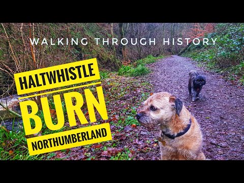
EXPLORING HALTWHISTLE BURN AND LEARNING ABOUT THE HISTORY OF THE AREA.

Haltwhistle is a town in the centre of Britain, today we visited Haltwhistle burn and learned about the history.

Hadrian's Wall Hike

A drive through the Lake District and Northumberland to Haltwhistle and a walk along Hadrian's wall, including Sycamore Gap, ...

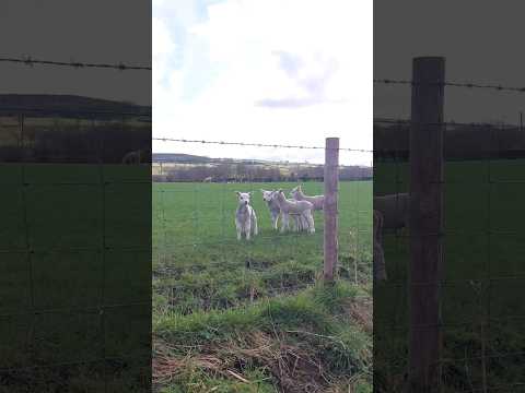
Have you ever seen anything so cute 🐑 #lambs #viral #shorts

On a new adventure up in Northumberland at a town called Haltwhistle. We see these beautiful animals running around in the ...

Nearby Amenities

Located within 500m of 54.952372,-2.4372022
Hirst Top
Place: locality
Lat/Long: 54.9535696/-2.4435652
Barrier: cattle_grid
Lat/Long: 54.9530663/-2.4419348
The data included in this document is from www.openstreetmap.org. The data is made available under ODbL.

Have you been to Milldam Plantation?

Leave your review of Milldam Plantation below (or comments, questions and feedback).