The Strip

Wood, Forest in Northumberland

England

The Strip

Haltwhistle (Ebenezer, Castle Hill) Primitive Methodist Chapel Opened in 1864 on the site of an earlier 1828 building. The chapel closed circa 1970 and is now in residential use. The associated schoolroom is seen to the left and is also now a residence.
Haltwhistle (Ebenezer, Castle Hill) Primitive Methodist Chapel Credit: John Lucas

The Strip, located in Northumberland, England, is a beautiful wooded area known for its enchanting forests and captivating natural scenery. Stretching over a vast expanse, this woodland is a haven for outdoor enthusiasts, nature lovers, and those seeking tranquility amidst the lush greenery.

The dense forest of The Strip boasts a variety of tree species, including oak, beech, and birch, creating a rich and diverse ecosystem. The towering trees provide a leafy canopy that filters sunlight, creating a serene and peaceful ambiance. The forest floor is blanketed with a thick layer of fallen leaves, offering a soft and cushioned path for hikers and walkers.

Within this woodland, numerous trails wind their way through the trees, providing ample opportunities for exploring and discovering the hidden treasures of the area. Wildlife is abundant, with deer, squirrels, and birds often spotted amongst the branches or scampering through the undergrowth. The forest is also home to a variety of plant life, including wildflowers and woodland fungi, adding pops of color and texture to the landscape.

The Strip is a popular destination for outdoor activities such as hiking, jogging, and bird-watching. The well-maintained trails offer an enjoyable and accessible experience for visitors of all ages and abilities. Whether it's a leisurely stroll or a more challenging hike, there is something for everyone to enjoy in this picturesque woodland.

Overall, The Strip in Northumberland is a captivating and idyllic forest that offers a peaceful escape from the hustle and bustle of everyday life. With its stunning natural beauty and diverse wildlife, it is a must-visit destination for nature enthusiasts and those seeking solace in the great outdoors.

If you have any feedback on the listing, please let us know in the comments section below.
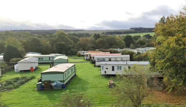
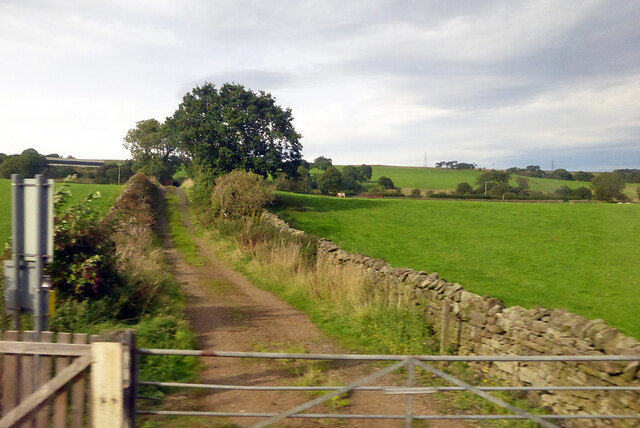
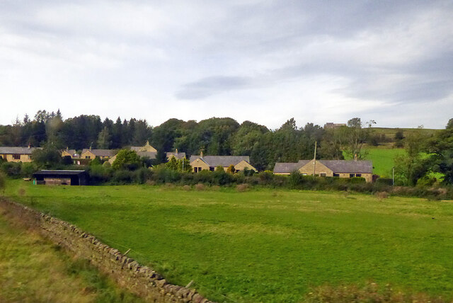
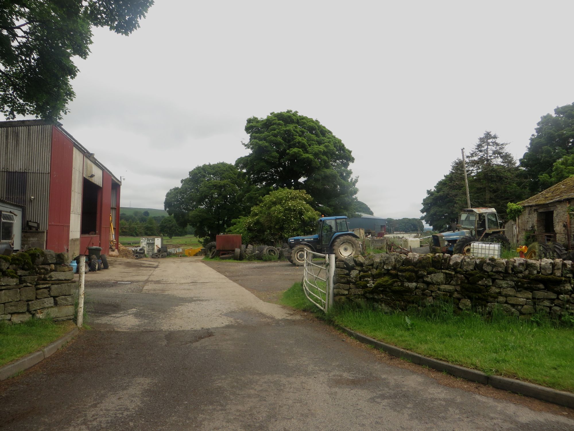
The Strip Images

Images are sourced within 2km of 54.960591/-2.4307636 or Grid Reference NY7262. Thanks to Geograph Open Source API. All images are credited.

Haltwhistle (Ebenezer, Castle Hill) Primitive Methodist Chapel Opened in 1864 on the site of an earlier 1828 building. The chapel closed circa 1970 and is now in residential use. The associated schoolroom is seen to the left and is also now a residence.
Haltwhistle (Ebenezer, Castle Hill) Primitive Methodist Chapel
Opened in 1864 on the site of an earlier 1828 building. The chapel closed circa 1970 and is now in residential use. The associated schoolroom is seen to the left and is also now a residence.
Castle Hill, Haltwhistle Leading steeply down to a bridge over Haltwhistle Burn.
Castle Hill, Haltwhistle
Leading steeply down to a bridge over Haltwhistle Burn.
Static caravan site at Haltwhistle
Track across railway to Greengate Lane A public bridleway.
Track across railway to Greengate Lane
A public bridleway.
Houses on main road, Melkridge
Haltwhistle Burn viewed from Townfoot Bridge
Benchmark on Pleasant Place House, north side Main Street Ordnance Survey cut mark benchmark levelled at 128.937m above Newlyn Datum verified 1954.  The mark was originally levelled at 423.131 feet above Liverpool Datum in 1844 during the Carlisle to North Shields 1GL Survey. The surveyor's description was 'No. 79. Mark on East end of grocer's shop, in Main-street, Haltwhistle ; 1.43 ft. above surface'
Benchmark on Pleasant Place House, north side Main Street
Ordnance Survey cut mark benchmark levelled at 128.937m above Newlyn Datum verified 1954. The mark was originally levelled at 423.131 feet above Liverpool Datum in 1844 during the Carlisle to North Shields 1GL Survey. The surveyor's description was 'No. 79. Mark on East end of grocer's shop, in Main-street, Haltwhistle ; 1.43 ft. above surface'
Pleasant Place House and Pleasant Place Cottage on north side of Main Street There is an Ordnance Survey benchmark <a href="https://www.geograph.org.uk/photo/7458336">NY7064 : Benchmark on Pleasant Place House, north side Main Street</a> on the near corner of the house left of the cottage brown door
Pleasant Place House and Pleasant Place Cottage on north side of Main Street
There is an Ordnance Survey benchmark NY7064 : Benchmark on Pleasant Place House, north side Main Street on the near corner of the house left of the cottage brown door
Castle Hill House, nos. 1-3
Cherry Tree and Archstone Cottage, Castle Hill at Mill Lane junction
Field with sheep at Townfoot at southeast end of Haltwhistle
Benchmark on south parapet of Townfoot Bridge Ordnance Survey cut mark benchmark
Benchmark on south parapet of Townfoot Bridge
Ordnance Survey cut mark benchmark
Haltwhistle Burn viewed over parapet of Townfoot Bridge There is an Ordnance Survey benchmark <a href="https://www.geograph.org.uk/photo/7460243">NY7164 : Benchmark on south parapet of Townfoot Bridge</a>  on the parapet pier.
Haltwhistle Burn viewed over parapet of Townfoot Bridge
There is an Ordnance Survey benchmark NY7164 : Benchmark on south parapet of Townfoot Bridge on the parapet pier.
Newcastle to Carlisle bus at Gulf petrol station on south side of B6322 Bus driver having a break after diversions caused by fatality accident on A69 earlier
Newcastle to Carlisle bus at Gulf petrol station on south side of B6322
Bus driver having a break after diversions caused by fatality accident on A69 earlier
North parapet of Townfoot Bridge Ordnance Survey documents indicate that a benchmark was levelled in 1844 at 371.668 feet above Liverpool Datum on a bridge parapet here during the Carlisle to North Shields 1GL Survey. The surveyor's description was 'No. 80. Bolt in North pier of bridge, at East end of Haltwhistle ; 1.91 ft. above surface'. The bridge was widened in 1925 <a href="https://www.geograph.org.uk/photo/2872952">NY7164 : Plaque on Townfoot Bridge</a> with loss of the mark
North parapet of Townfoot Bridge
Ordnance Survey documents indicate that a benchmark was levelled in 1844 at 371.668 feet above Liverpool Datum on a bridge parapet here during the Carlisle to North Shields 1GL Survey. The surveyor's description was 'No. 80. Bolt in North pier of bridge, at East end of Haltwhistle ; 1.91 ft. above surface'. The bridge was widened in 1925 NY7164 : Plaque on Townfoot Bridge with loss of the mark
Mount Pleasant on east side of Shield Hill There is an Ordnance Survey benchmark <a href="https://www.geograph.org.uk/photo/7503029">NY7164 : Benchmark on Mount Pleasant on east side of Shield Hill</a> on the front of the house at its left hand corner
Mount Pleasant on east side of Shield Hill
There is an Ordnance Survey benchmark NY7164 : Benchmark on Mount Pleasant on east side of Shield Hill on the front of the house at its left hand corner
Benchmark on #1 Shieldhill Cottages Ordnance Survey cut mark benchmark levelled at 131.024m above Newlyn Datum verified 1954
Benchmark on #1 Shieldhill Cottages
Ordnance Survey cut mark benchmark levelled at 131.024m above Newlyn Datum verified 1954
Shieldhill Cottages on east side of Shield Hill There is an Ordnance Survey benchmark <a href="https://www.geograph.org.uk/photo/7500911">NY7164 : Benchmark on #1 Shieldhill Cottages</a>  on the near corner, left hand face, of the nearer house, next to black downpipe
Shieldhill Cottages on east side of Shield Hill
There is an Ordnance Survey benchmark NY7164 : Benchmark on #1 Shieldhill Cottages on the near corner, left hand face, of the nearer house, next to black downpipe
Show me another place!

The Strip is located at Grid Ref: NY7262 (Lat: 54.960591, Lng: -2.4307636)

Unitary Authority: Northumberland

Police Authority: Northumbria

What 3 Words

///goodbyes.chins.slid. Near Haltwhistle, Northumberland

Related Wikis

Unthank Hall

Unthank Hall is a Grade II listed property now serving as commercial offices, situated on the southern bank of the River South Tyne east of Plenmeller...

Unthank, Haltwhistle

Unthank is a village near Haltwhistle in Northumberland, England. It is first mentioned in writing as Unthanc around 1200. == Governance == Unthank is...

Haltwhistle Burn

The Haltwhistle Burn is a river which lies to the east of the Northumbrian town of Haltwhistle. Rising in the peaty uplands below the ridge of the Whin...

Plenmeller

Plenmeller is a village and former civil parish, now in the parish of Plenmeller with Whitfield, in Northumberland, England about a mile (1½ km) southeast...

Melkridge

Melkridge is a village and civil parish in Northumberland, England, on the river South Tyne. The village of Melkridge is in the south of the parish, and...

Haltwhistle Castle

Haltwhistle Castle Hill is a ruined Norman earth and timber ringwork fortress in Haltwhistle, Northumberland, England. There are no extant stone remains...

Haltwhistle

Haltwhistle is a market town and civil parish in Northumberland, England, 22.9 miles (36.9 kilometres) east of Carlisle and 36.8 miles (59.2 kilometres...

Haltwhistle railway station

Haltwhistle is a railway station on the Tyne Valley Line, which runs between Newcastle and Carlisle via Hexham. The station, situated 22 miles 66 chains...

Nearby Amenities

Located within 500m of 54.960591,-2.4307636
Power: pole
Lat/Long: 54.9621375/-2.4378093
Power: pole
Lat/Long: 54.9625201/-2.4370901
Power: pole
Lat/Long: 54.96285/-2.4363357
Power: pole
Lat/Long: 54.9633843/-2.4355142
Power: pole
Lat/Long: 54.9639065/-2.4346752
Power: pole
Lat/Long: 54.9644327/-2.4337797
Power: pole
Lat/Long: 54.9645622/-2.4322391
Power: pole
Lat/Long: 54.9646999/-2.4306808
Power: pole
Lat/Long: 54.9648294/-2.4290133
The data included in this document is from www.openstreetmap.org. The data is made available under ODbL.

Have you been to The Strip?

Leave your review of The Strip below (or comments, questions and feedback).