Breach Wood

Wood, Forest in Somerset

England

Breach Wood

Direction Sign – Signpost on crossroads in Englishcombe parish Located on the northwest side of a crossroads southwest of the village in Englishcombe parish. 3 arms and pyramid finial. See also <a title="https://www.geograph.org.uk/photo/4849161" href="https://www.geograph.org.uk/photo/4849161">Link</a>.

Milestone Society National ID: SO_ST7161
Direction Sign – Signpost on crossroads in Englishcombe parish Credit: J Dowding

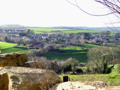
Breach Wood is a beautiful and expansive forest located in Somerset, England. Covering an area of approximately 250 acres, it is a popular destination for nature enthusiasts and hikers alike. The wood is nestled in the heart of the countryside, offering visitors a peaceful and tranquil environment to explore.

Breach Wood is primarily made up of native deciduous trees, including oak, beech, and birch, which create a stunning display of colors during the autumn months. The forest floor is covered in a rich carpet of ferns, mosses, and wildflowers, providing a diverse habitat for a variety of wildlife.

The wood is crisscrossed by a network of well-maintained walking trails, allowing visitors to easily navigate and explore the area. These trails lead visitors through dense woodland, open glades, and alongside babbling brooks, offering picturesque views at every turn.

The wood is also home to a wide range of wildlife, including deer, foxes, badgers, and numerous species of birds. Birdwatchers will delight in the opportunity to spot woodpeckers, owls, and various songbirds that call Breach Wood their home.

In addition to its natural beauty, Breach Wood also holds historical significance. The remnants of old stone walls and ancient pathways can still be found within the forest, serving as a reminder of its rich past.

Overall, Breach Wood is a stunning and diverse forest that offers visitors a chance to connect with nature and immerse themselves in its beauty. With its peaceful atmosphere, well-marked trails, and abundance of wildlife, it is a must-visit destination for anyone seeking a peaceful retreat in the heart of Somerset.

If you have any feedback on the listing, please let us know in the comments section below.
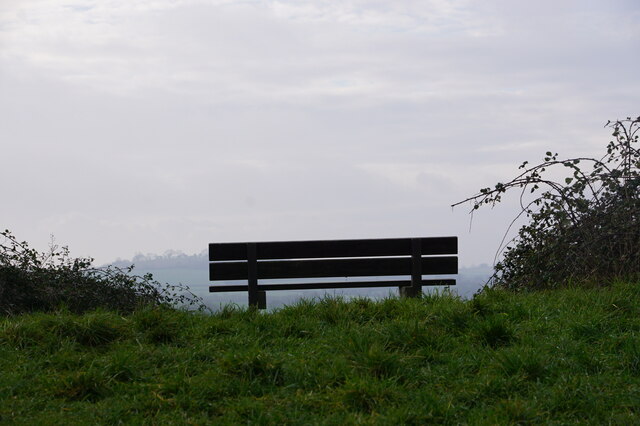
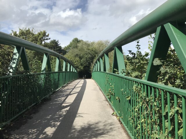
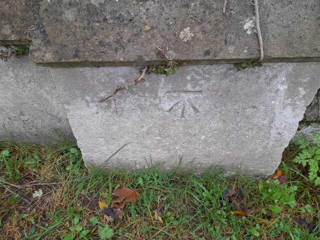
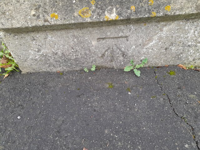
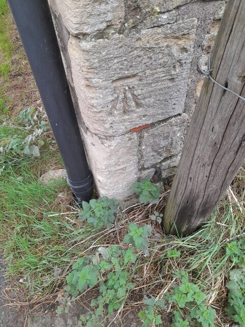
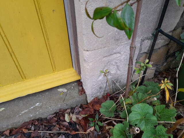
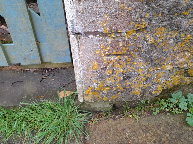
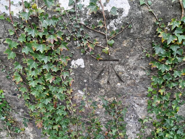
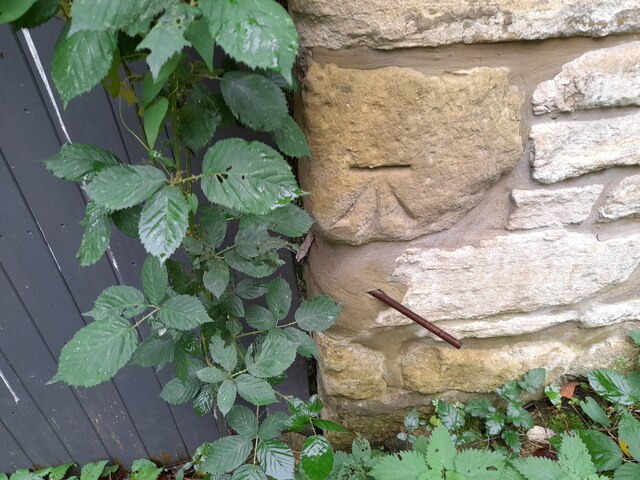
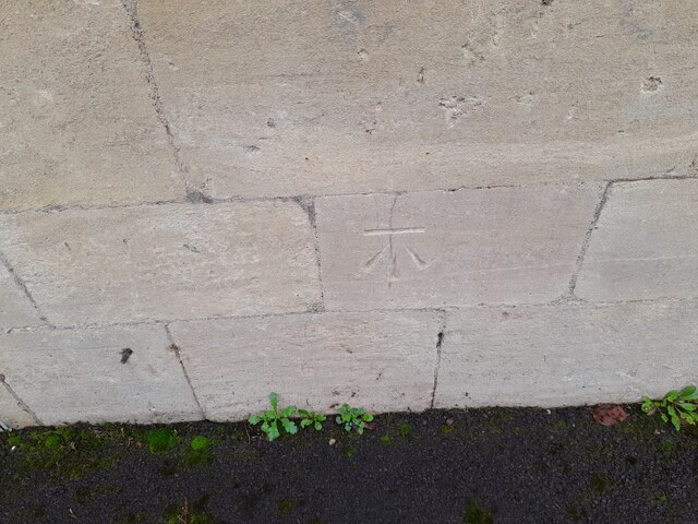
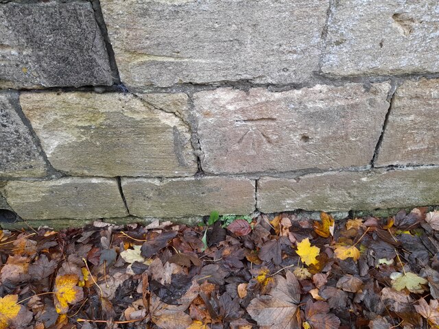
Breach Wood Images

Images are sourced within 2km of 51.360735/-2.3961102 or Grid Reference ST7262. Thanks to Geograph Open Source API. All images are credited.

Direction Sign – Signpost on crossroads in Englishcombe parish Located on the northwest side of a crossroads southwest of the village in Englishcombe parish. 3 arms and pyramid finial. See also <a title="https://www.geograph.org.uk/photo/4849161" href="https://www.geograph.org.uk/photo/4849161">Link</a>.

Milestone Society National ID: SO_ST7161
Direction Sign – Signpost on crossroads in Englishcombe parish
Located on the northwest side of a crossroads southwest of the village in Englishcombe parish. 3 arms and pyramid finial. See also Link. Milestone Society National ID: SO_ST7161
Direction Sign – Signpost on Padleigh Hill in Englishcombe parish Located in the village on the northwest side of Padleigh Hill in Englishcombe parish. 1 arm and pyramid finial.

Milestone Society National ID: SO_ST7162
Direction Sign – Signpost on Padleigh Hill in Englishcombe parish
Located in the village on the northwest side of Padleigh Hill in Englishcombe parish. 1 arm and pyramid finial. Milestone Society National ID: SO_ST7162
Fortune Cookie Take Away - Odd Down
'High View' Colour image of the park bench at the top of Roundhill (Twerton Roundhill) Bath.
With the overhead, cloud diffused morning 'light' at the top of the image.
More detailed 'dark' at the bottom of the image, distant horizon in the middle.
A simple image, seen while passing by on the 'level' after climbing the slope.
'High View'
Colour image of the park bench at the top of Roundhill (Twerton Roundhill) Bath. With the overhead, cloud diffused morning 'light' at the top of the image. More detailed 'dark' at the bottom of the image, distant horizon in the middle. A simple image, seen while passing by on the 'level' after climbing the slope.
Modern Bridge in Linear Park
Ordnance Survey Cut Mark This OS cut mark can be found on the cemetery wall on Whiteway Road. It marks a point 116.735m above mean sea level.
Ordnance Survey Cut Mark
This OS cut mark can be found on the cemetery wall on Whiteway Road. It marks a point 116.735m above mean sea level.
Ordnance Survey Cut Mark This OS cut mark can be found on the cemetery wall on Whiteway Road. It marks a point 120.239m above mean sea level.
Ordnance Survey Cut Mark
This OS cut mark can be found on the cemetery wall on Whiteway Road. It marks a point 120.239m above mean sea level.
Ordnance Survey Cut Mark This OS cut mark can be found on the barn at Manor Farm. It marks a point 77.290m above mean sea level.
Ordnance Survey Cut Mark
This OS cut mark can be found on the barn at Manor Farm. It marks a point 77.290m above mean sea level.
Ordnance Survey Cut Mark This OS cut mark can be found on Crossway House. It marks a point 78.913m above mean sea level.
Ordnance Survey Cut Mark
This OS cut mark can be found on Crossway House. It marks a point 78.913m above mean sea level.
Ordnance Survey Cut Mark This OS cut mark can be found on the wall of Highbank House. It marks a point 68.654m above mean sea level.
Ordnance Survey Cut Mark
This OS cut mark can be found on the wall of Highbank House. It marks a point 68.654m above mean sea level.
Ordnance Survey Cut Mark This OS cut mark can be found on the south face of St Peter's Church. It marks a point 74.551m above mean sea level.
Ordnance Survey Cut Mark
This OS cut mark can be found on the south face of St Peter's Church. It marks a point 74.551m above mean sea level.
Ordnance Survey Cut Mark This OS cut mark can be found on Woodland Cottage. It marks a point 77.224m above mean sea level.
Ordnance Survey Cut Mark
This OS cut mark can be found on Woodland Cottage. It marks a point 77.224m above mean sea level.
Ordnance Survey Cut Mark This OS cut mark can be found on No67 Frome Road. It marks a point 164.903m above mean sea level.
Ordnance Survey Cut Mark
This OS cut mark can be found on No67 Frome Road. It marks a point 164.903m above mean sea level.
Ordnance Survey Cut Mark This OS cut mark can be found on the Red Lion PH. It marks a point 162.648m above mean sea level.
Ordnance Survey Cut Mark
This OS cut mark can be found on the Red Lion PH. It marks a point 162.648m above mean sea level.
Ordnance Survey Cut Mark This OS cut mark can be found on the wall NE side of Frome Road. It marks a point 162.518m above mean sea level.
Ordnance Survey Cut Mark
This OS cut mark can be found on the wall NE side of Frome Road. It marks a point 162.518m above mean sea level.
Ordnance Survey Cut Mark This OS cut mark can be found on the wall NE side of Frome Road. It marks a point 164.619m above mean sea level.
Ordnance Survey Cut Mark
This OS cut mark can be found on the wall NE side of Frome Road. It marks a point 164.619m above mean sea level.
Ordnance Survey Cut Mark This OS cut mark can be found on the NE face of St Martin's Hospital. It marks a point 162.166m above mean sea level.
Ordnance Survey Cut Mark
This OS cut mark can be found on the NE face of St Martin's Hospital. It marks a point 162.166m above mean sea level.
Ordnance Survey Cut Mark This OS cut mark can be found on the wall SE side of Wellsway. It marks a point 158.685m above mean sea level.
Ordnance Survey Cut Mark
This OS cut mark can be found on the wall SE side of Wellsway. It marks a point 158.685m above mean sea level.
Show me another place!

Breach Wood is located at Grid Ref: ST7262 (Lat: 51.360735, Lng: -2.3961102)

Unitary Authority: Bath and North East Somerset

Police Authority: Avon and Somerset

What 3 Words

///goals.over.guises. Near Bath, Somerset

Nearby Locations

Breach Wood Padley Bottom

Related Wikis

Bath Community Academy

Bath Community Academy (2012–2018), formerly Culverhay School (1956–2012), was a secondary school in the Odd Down area of Bath, England. Built as a boys...

Englishcombe

Englishcombe is a village and civil parish in Bath and North East Somerset just south-west of Bath, England. The parish, which also includes the hamlets...

Culverhay Castle

Culverhay Castle, also known as Englishcombe Castle, was a castle in the village of Englishcombe, Somerset, England. == Details == Culverhay Castle was...

St Peter's Church, Englishcombe

The Church of St Peter is the Church of England parish church of Englishcombe, Somerset, England. It is a Grade I listed building. == History == St Peter...

Odd Down

Odd Down is an electoral ward in the City of Bath, England. A suburb of the city, Odd Down is located west and south of the city centre. The city ward...

Duncorn Hill

Duncorn Hill is an English, landmark, rounded hill with a flat top close to the Fosse Way. It is located on a limestone plateau south of Bath in Somerset...

Saint Gregory's Catholic College

Saint Gregory's Catholic College in Odd Down, Bath, England is a Roman Catholic, co-educational secondary school with a sixth form. It was renamed from...

Odd Down A.F.C.

Odd Down Football Club is a football club based in the Odd Down area of Bath, England. They are currently members of the Western League Division One and...

Nearby Amenities

Located within 500m of 51.360735,-2.3961102
Barrier: stile
Lat/Long: 51.3632394/-2.3901621
Barrier: kissing_gate
Lat/Long: 51.3628066/-2.3923234
Barrier: kissing_gate
Lat/Long: 51.3607339/-2.3935119
Barrier: kissing_gate
Lat/Long: 51.3583931/-2.3954351
Ford: yes
Lat/Long: 51.3618729/-2.3935806
Barrier: stile
Lat/Long: 51.3649993/-2.3957128
Barrier: stile
Lat/Long: 51.3618544/-2.3935622
Barrier: stile
Lat/Long: 51.363829/-2.397265
Barrier: stile
Lat/Long: 51.3641485/-2.3984605
Barrier: kissing_gate
Lat/Long: 51.3600662/-2.3948142
Barrier: kissing_gate
Lat/Long: 51.3598735/-2.3894114
Kindergarten
Footsteps Nursery
Addr City: Bath
Addr Street: Rush Hill
Fhrs Id: 204810
Fixme: rough location
Lat/Long: 51.3646051/-2.3930049
Cafe
Coffee Shop At Bath Spa University
Addr City: Bath
Addr Housename: Bath Community Academy
Addr Street: Rush Hill
Disused Fhrs Id: 1006252
Fixme: rough location
Lat/Long: 51.3642816/-2.3922357
School
Lansdown Park Academy Rush Hill
Addr City: Bath
Addr Housename: Bath Spa University Rush Hill Campus
Addr Street: Rush Hill
Fhrs Id: 1098982
Fixme: rough location. using part of old school site
Website: https://www.lansdown.learnmat.uk/page/?title=Lansdown+Park+Academy+Rush+Hill&pid=36
Lat/Long: 51.3640888/-2.3913588
Place Of Worship
Shree Jagannatha Temple
Addr Postcode: BA2 2QH
Addr Street: Rush Hill
Note: Entry adjacent to Rush Hill Surgery
Religion: hindu
Website: https://shreejagannathatemple.org.uk/home-3/
Lat/Long: 51.364634/-2.3936553
Ford: yes
Lat/Long: 51.3625591/-2.3951224
Barrier: kissing_gate
Lat/Long: 51.3615313/-2.3941485
Barrier: kissing_gate
Lat/Long: 51.3632489/-2.3917215
Barrier: stile
Lat/Long: 51.3609364/-2.3926502
Power: pole
Lat/Long: 51.3602282/-2.4030283
Power: pole
Lat/Long: 51.3593232/-2.4027295
School
St Matthias Academy
Addr Housename: Bath Spa University Rush Hill Campus
Addr Postcode: BA2 2QL
Addr Street: Rush Hill
Fhrs Id: 1651242
Fixme: rough_location
Website: https://www.stmatthiasacademy.org.uk/
Lat/Long: 51.3641009/-2.3917742
The data included in this document is from www.openstreetmap.org. The data is made available under ODbL.

Have you been to Breach Wood?

Leave your review of Breach Wood below (or comments, questions and feedback).