Padley Bottom

Valley in Somerset

England

Padley Bottom

Direction Sign – Signpost on crossroads in Englishcombe parish Located on the northwest side of a crossroads southwest of the village in Englishcombe parish. 3 arms and pyramid finial. See also <a title="https://www.geograph.org.uk/photo/4849161" href="https://www.geograph.org.uk/photo/4849161">Link</a>.

Milestone Society National ID: SO_ST7161
Direction Sign – Signpost on crossroads in Englishcombe parish Credit: J Dowding

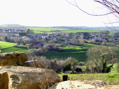
Padley Bottom is a small valley located in the county of Somerset, England. Situated within the district of Mendip, it is nestled between the rolling hills and picturesque countryside of the region. The valley is characterized by its lush greenery, meandering streams, and charming rural landscapes.

The area is sparsely populated, with only a handful of houses scattered throughout the valley. The architecture reflects the traditional Somerset style, featuring quaint cottages made of local stone and thatched roofs. The tranquil and idyllic atmosphere of Padley Bottom attracts visitors looking for a peaceful retreat from the hustle and bustle of city life.

The valley is also home to a variety of wildlife, including birds, small mammals, and insects. The nearby streams provide a habitat for freshwater species, further adding to the biodiversity of the area. This makes Padley Bottom a popular destination for nature enthusiasts and birdwatchers.

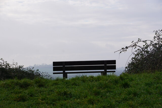
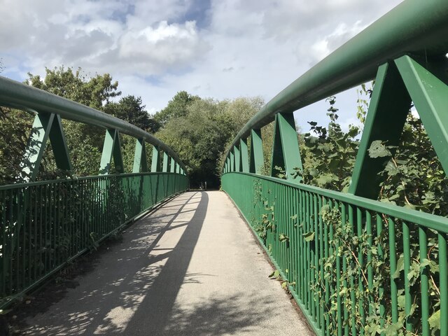
The surrounding hills offer numerous walking trails and hiking routes, allowing visitors to explore the natural beauty of the region. From the hilltops, one can enjoy panoramic views of the valley and the surrounding countryside, providing a stunning backdrop for outdoor activities.

Overall, Padley Bottom is a charming and serene location in Somerset, offering visitors a chance to experience the tranquility of rural England amidst beautiful natural surroundings.

If you have any feedback on the listing, please let us know in the comments section below.

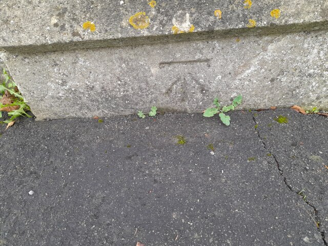
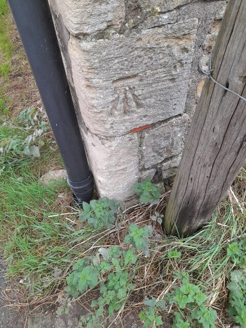
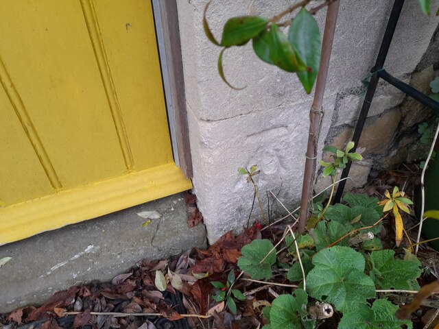
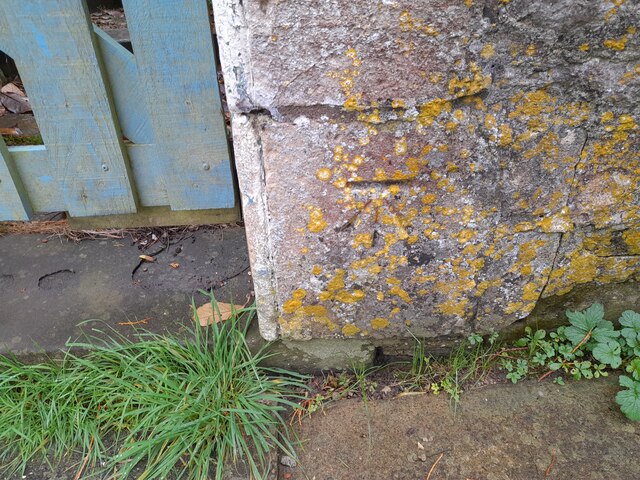
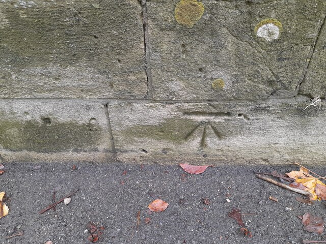
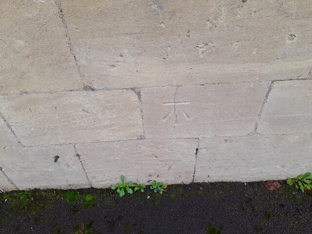
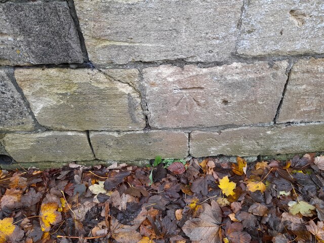
Padley Bottom Images

Images are sourced within 2km of 51.364169/-2.3989695 or Grid Reference ST7262. Thanks to Geograph Open Source API. All images are credited.

Direction Sign – Signpost on crossroads in Englishcombe parish Located on the northwest side of a crossroads southwest of the village in Englishcombe parish. 3 arms and pyramid finial. See also <a title="https://www.geograph.org.uk/photo/4849161" href="https://www.geograph.org.uk/photo/4849161">Link</a>.

Milestone Society National ID: SO_ST7161
Direction Sign – Signpost on crossroads in Englishcombe parish
Located on the northwest side of a crossroads southwest of the village in Englishcombe parish. 3 arms and pyramid finial. See also Link. Milestone Society National ID: SO_ST7161
Direction Sign – Signpost on Padleigh Hill in Englishcombe parish Located in the village on the northwest side of Padleigh Hill in Englishcombe parish. 1 arm and pyramid finial.

Milestone Society National ID: SO_ST7162
Direction Sign – Signpost on Padleigh Hill in Englishcombe parish
Located in the village on the northwest side of Padleigh Hill in Englishcombe parish. 1 arm and pyramid finial. Milestone Society National ID: SO_ST7162
Fortune Cookie Take Away - Odd Down
McDonald's - Twerton
'High View' Colour image of the park bench at the top of Roundhill (Twerton Roundhill) Bath.
With the overhead, cloud diffused morning 'light' at the top of the image.
More detailed 'dark' at the bottom of the image, distant horizon in the middle.
A simple image, seen while passing by on the 'level' after climbing the slope.
'High View'
Colour image of the park bench at the top of Roundhill (Twerton Roundhill) Bath. With the overhead, cloud diffused morning 'light' at the top of the image. More detailed 'dark' at the bottom of the image, distant horizon in the middle. A simple image, seen while passing by on the 'level' after climbing the slope.
Modern Bridge in Linear Park
Ordnance Survey Cut Mark This OS cut mark can be found on the cemetery wall on Whiteway Road. It marks a point 116.735m above mean sea level.
Ordnance Survey Cut Mark
This OS cut mark can be found on the cemetery wall on Whiteway Road. It marks a point 116.735m above mean sea level.
Ordnance Survey Cut Mark This OS cut mark can be found on the cemetery wall on Whiteway Road. It marks a point 120.239m above mean sea level.
Ordnance Survey Cut Mark
This OS cut mark can be found on the cemetery wall on Whiteway Road. It marks a point 120.239m above mean sea level.
Ordnance Survey Cut Mark This OS cut mark can be found on the barn at Manor Farm. It marks a point 77.290m above mean sea level.
Ordnance Survey Cut Mark
This OS cut mark can be found on the barn at Manor Farm. It marks a point 77.290m above mean sea level.
Ordnance Survey Cut Mark This OS cut mark can be found on Crossway House. It marks a point 78.913m above mean sea level.
Ordnance Survey Cut Mark
This OS cut mark can be found on Crossway House. It marks a point 78.913m above mean sea level.
Ordnance Survey Cut Mark This OS cut mark can be found on the wall of Highbank House. It marks a point 68.654m above mean sea level.
Ordnance Survey Cut Mark
This OS cut mark can be found on the wall of Highbank House. It marks a point 68.654m above mean sea level.
Ordnance Survey Cut Mark This OS cut mark can be found on the south face of St Peter's Church. It marks a point 74.551m above mean sea level.
Ordnance Survey Cut Mark
This OS cut mark can be found on the south face of St Peter's Church. It marks a point 74.551m above mean sea level.
Ordnance Survey Cut Mark This OS cut mark can be found on Woodland Cottage. It marks a point 77.224m above mean sea level.
Ordnance Survey Cut Mark
This OS cut mark can be found on Woodland Cottage. It marks a point 77.224m above mean sea level.
Ordnance Survey Cut Mark This OS cut mark can be found on No67 Frome Road. It marks a point 164.903m above mean sea level.
Ordnance Survey Cut Mark
This OS cut mark can be found on No67 Frome Road. It marks a point 164.903m above mean sea level.
Ordnance Survey Cut Mark This OS cut mark can be found on the Red Lion PH. It marks a point 162.648m above mean sea level.
Ordnance Survey Cut Mark
This OS cut mark can be found on the Red Lion PH. It marks a point 162.648m above mean sea level.
Ordnance Survey Cut Mark This OS cut mark can be found on the wall NE side of Frome Road. It marks a point 162.518m above mean sea level.
Ordnance Survey Cut Mark
This OS cut mark can be found on the wall NE side of Frome Road. It marks a point 162.518m above mean sea level.
Ordnance Survey Cut Mark This OS cut mark can be found on the NE face of St Martin's Hospital. It marks a point 162.166m above mean sea level.
Ordnance Survey Cut Mark
This OS cut mark can be found on the NE face of St Martin's Hospital. It marks a point 162.166m above mean sea level.
Ordnance Survey Cut Mark This OS cut mark can be found on the wall SE side of Wellsway. It marks a point 158.685m above mean sea level.
Ordnance Survey Cut Mark
This OS cut mark can be found on the wall SE side of Wellsway. It marks a point 158.685m above mean sea level.
Show me another place!

Padley Bottom is located at Grid Ref: ST7262 (Lat: 51.364169, Lng: -2.3989695)

Unitary Authority: Bath and North East Somerset

Police Authority: Avon and Somerset

What 3 Words

///wedge.shade.charmingly. Near Bath, Somerset

Nearby Locations

Breach Wood Padley Bottom

Related Wikis

Bath Community Academy

Bath Community Academy (2012–2018), formerly Culverhay School (1956–2012), was a secondary school in the Odd Down area of Bath, England. Built as a boys...

Culverhay Castle

Culverhay Castle, also known as Englishcombe Castle, was a castle in the village of Englishcombe, Somerset, England. == Details == Culverhay Castle was...

Englishcombe

Englishcombe is a village and civil parish in Bath and North East Somerset just south-west of Bath, England. The parish, which also includes the hamlets...

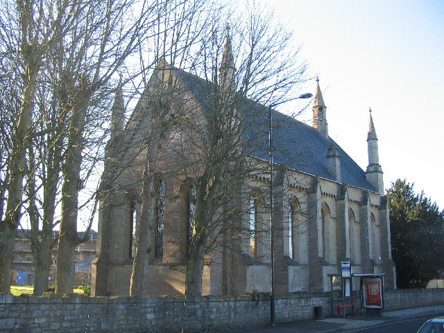
St Peter's Church, Englishcombe

The Church of St Peter is the Church of England parish church of Englishcombe, Somerset, England. It is a Grade I listed building. == History == St Peter...

Whiteway, Bath

Whiteway is the name given to a housing estate contained within the Southdown and Twerton electoral wards of Bath, Somerset, England. The construction...

Odd Down

Odd Down is an electoral ward in the City of Bath, England. A suburb of the city, Odd Down is located west and south of the city centre. The city ward...

Duncorn Hill

Duncorn Hill is an English, landmark, rounded hill with a flat top close to the Fosse Way. It is located on a limestone plateau south of Bath in Somerset...

The Centurion, Bath

The Centurion is a grade II listed public house in Twerton, Bath, England. It was built in 1965 and the outside features a large bronze Roman centurion...

Nearby Amenities

Located within 500m of 51.364169,-2.3989695
Turning Circle
Lat/Long: 51.3654417/-2.3920642
Post Box
Lat/Long: 51.3637291/-2.4057309
Barrier: kissing_gate
Lat/Long: 51.3628066/-2.3923234
Barrier: stile
Lat/Long: 51.3662875/-2.3998565
Ford: yes
Lat/Long: 51.3618729/-2.3935806
Barrier: stile
Lat/Long: 51.3649993/-2.3957128
Barrier: stile
Lat/Long: 51.3618544/-2.3935622
Barrier: stile
Lat/Long: 51.363829/-2.397265
Barrier: stile
Lat/Long: 51.3673629/-2.4019906
Barrier: stile
Lat/Long: 51.366261/-2.4029851
Barrier: stile
Lat/Long: 51.3659611/-2.4032567
Barrier: stile
Lat/Long: 51.3641485/-2.3984605
Barrier: stile
Lat/Long: 51.3660948/-2.4009295
Barrier: stile
Lat/Long: 51.3672216/-2.4016854
Post Box
Operator: Royal Mail
Operator Wikidata: Q638098
Ref: BA2 181
Lat/Long: 51.3648836/-2.3928354
Barrier: stile
Lat/Long: 51.362245/-2.403878
Barrier: stile
Lat/Long: 51.3632403/-2.4059417
Bus Stop
Culverhay School
Bus: yes
Naptan AtcoCode: 0180BAC30198
Naptan Bearing: NW
Naptan CommonName: Culverhay School
Naptan Crossing: Padleigh Hill
Naptan NaptanCode: bthdpwp
Naptan PlusbusZoneRef: BATHSPA
Naptan Street: Rush Hill
Naptan Verified: no
Public Transport: platform
Shelter: yes
Source: naptan_import
Lat/Long: 51.3644338/-2.3919938
Bus Stop
Culverhay School
Bus: yes
Naptan AtcoCode: 0180BAC30199
Naptan Bearing: E
Naptan CommonName: Culverhay School
Naptan NaptanCode: bthdpwj
Naptan PlusbusZoneRef: BATHSPA
Naptan Street: Rush Hill
Naptan Verified: no
Public Transport: platform
Shelter: no
Source: naptan_import
Lat/Long: 51.3645598/-2.3919518
Bus Stop
Rowacres
Bus: yes
Naptan AtcoCode: 0180BAC30200
Naptan Bearing: NE
Naptan CommonName: Padleigh Turn
Naptan Crossing: Belmore Gardens
Naptan NaptanCode: bthdptw
Naptan PlusbusZoneRef: BATHSPA
Naptan Street: Englishcombe Lane
Naptan Verified: no
Public Transport: platform
Source: naptan_import
Lat/Long: 51.3661844/-2.3928275
Bus Stop
Padleigh Hill
Bus: yes
Naptan AtcoCode: 0180BAC30201
Naptan Bearing: SW
Naptan CommonName: Padleigh Turn
Naptan Crossing: Whiteway Road
Naptan NaptanCode: bthdpta
Naptan PlusbusZoneRef: BATHSPA
Naptan Street: Englishcombe Lane
Naptan Verified: no
Public Transport: platform
Source: naptan_import
Lat/Long: 51.3657588/-2.3937288
Bus Stop
Padleigh Turn
Bus: yes
Naptan AtcoCode: 0180BAC30283
Naptan Bearing: N
Naptan CommonName: Padleigh Turn
Naptan Crossing: Mount Grove
Naptan NaptanCode: bthdpmw
Naptan PlusbusZoneRef: BATHSPA
Naptan Street: Mount Road
Naptan Verified: no
Public Transport: platform
Source: naptan_import
Lat/Long: 51.3666566/-2.3941244
Speed Camera
Maxspeed: 30 mph
Lat/Long: 51.3666324/-2.3959914
Barrier: cycle_barrier
Lat/Long: 51.3679837/-2.4018643
Barrier: stile
Lat/Long: 51.3674318/-2.4029735
Barrier: cycle_barrier
Lat/Long: 51.3670775/-2.3965905
Barrier: block
Lat/Long: 51.365458/-2.4042823
Ford: yes
Lat/Long: 51.3660091/-2.4031064
Cafe
Café Linden
Addr Postcode: BA2 2RG
Fhrs Id: 205381
Website: https://www.hillier.co.uk/index.php/garden-centres/bath/
Lat/Long: 51.368088/-2.4005115
Crossing
Crossing: uncontrolled
Crossing Island: no
Crossing Ref: zebra
Kerb: lowered
Tactile Paving: yes
Lat/Long: 51.3662704/-2.3953434
Twerton Roundhill
Man Made: survey_point
Natural: peak
Old Name: Highbarrow Hill
Tpuk Ref: TP6624
Lat/Long: 51.368332/-2.3965515
Crossing
Crossing: uncontrolled
Crossing Island: no
Crossing Ref: zebra
Lat/Long: 51.3646795/-2.3923415
Addr Housenumber: 20
Addr Postcode: BA2 1LD
Addr Street: Mount Road
Lat/Long: 51.3668122/-2.3939172
Breakfast Club
Addr Postcode: BA2 1LG
Club: school
Disused Fhrs Id: 204112
Website: http://www.roundhill-pri.co.uk/breakfast-club/
Lat/Long: 51.3673324/-2.3953618
The Medical
Addr City: Bath
Addr Housenumber: 20
Addr Postcode: BA2 2QH
Addr Street: Rush Hill
Healthcare: clinic
Website: https://www.themedical.co.uk/clinics/bath-city-centre
Lat/Long: 51.3649561/-2.393319
Kindergarten
Footsteps Nursery
Addr City: Bath
Addr Street: Rush Hill
Fhrs Id: 204810
Fixme: rough location
Lat/Long: 51.3646051/-2.3930049
Cafe
Coffee Shop At Bath Spa University
Addr City: Bath
Addr Housename: Bath Community Academy
Addr Street: Rush Hill
Disused Fhrs Id: 1006252
Fixme: rough location
Lat/Long: 51.3642816/-2.3922357
Roundhill Primary School (Infant Kitchen)
Addr Housename: Roundhill Primary School
Addr Postcode: BA2 1LG
Craft: caterer
Fhrs Id: 1054847
Lat/Long: 51.3669903/-2.3950581
Place Of Worship
Shree Jagannatha Temple
Addr Postcode: BA2 2QH
Addr Street: Rush Hill
Note: Entry adjacent to Rush Hill Surgery
Religion: hindu
Website: https://shreejagannathatemple.org.uk/home-3/
Lat/Long: 51.364634/-2.3936553
Barrier: stile
Lat/Long: 51.3639519/-2.4012776
Ford: yes
Lat/Long: 51.3625591/-2.3951224
Barrier: kissing_gate
Lat/Long: 51.3615313/-2.3941485
Bench
Backrest: yes
Material: wood
Seats: 2
Lat/Long: 51.3682514/-2.3968508
Advertising: board
Support: wall_mounted
Lat/Long: 51.363761/-2.4057144
Waste Basket
Lat/Long: 51.3637138/-2.4057391
Power: pole
Lat/Long: 51.3640832/-2.4039289
Power: pole
Lat/Long: 51.3631196/-2.4037865
Power: pole
Lat/Long: 51.3621435/-2.4036381
Power: pole
Lat/Long: 51.3613046/-2.4033576
School
St Matthias Academy
Addr Housename: Bath Spa University Rush Hill Campus
Addr Postcode: BA2 2QL
Addr Street: Rush Hill
Fhrs Id: 1651242
Fixme: rough_location
Website: https://www.stmatthiasacademy.org.uk/
Lat/Long: 51.3641009/-2.3917742
The data included in this document is from www.openstreetmap.org. The data is made available under ODbL.

Have you been to Padley Bottom?

Leave your review of Padley Bottom below (or comments, questions and feedback).