Clough
Valley in Lancashire Hyndburn
England
Clough
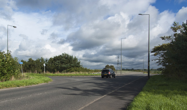
Clough, Lancashire, also known as Clough Valley, is a small rural area located in the Borough of Rossendale, in the county of Lancashire, England. Nestled amidst the rolling hills of the Pennines, it is situated around 5 miles north of the town of Haslingden.
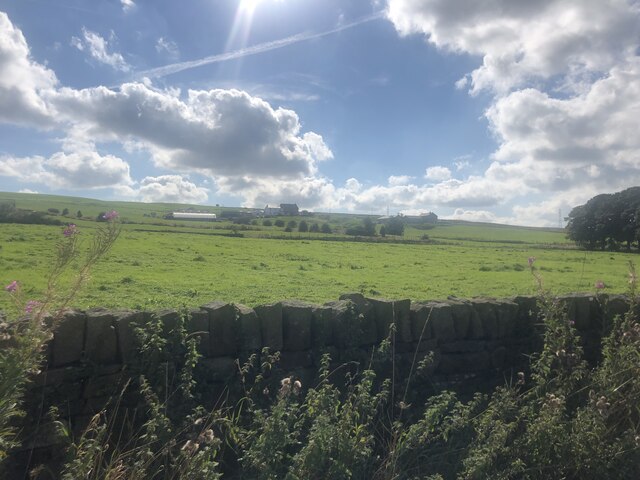
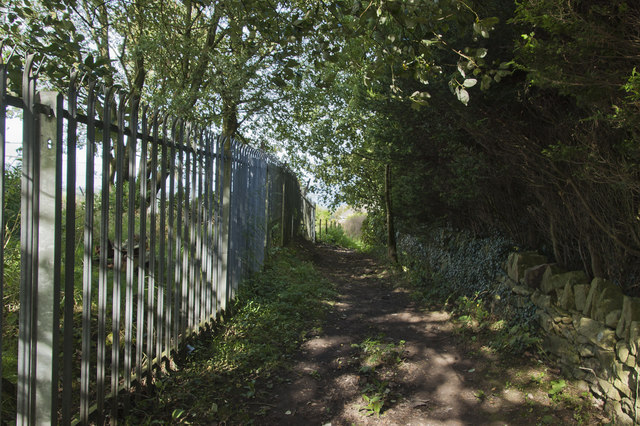
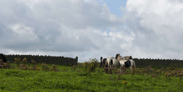
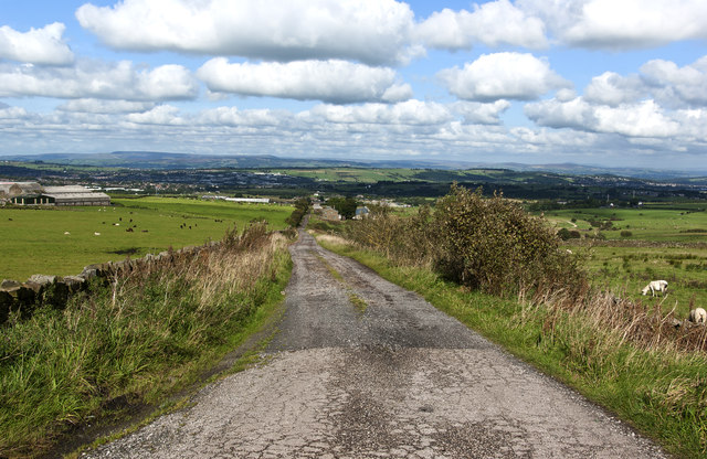
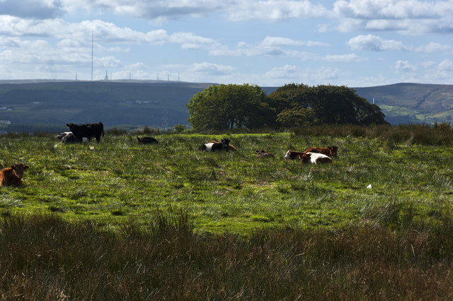
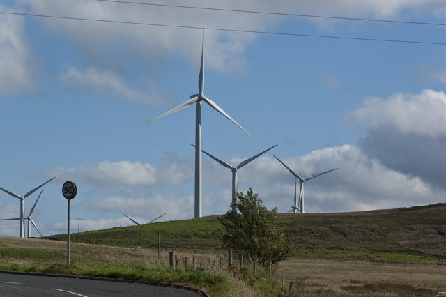
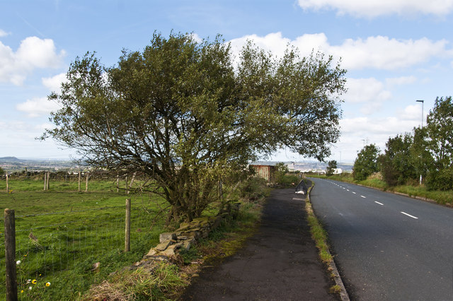
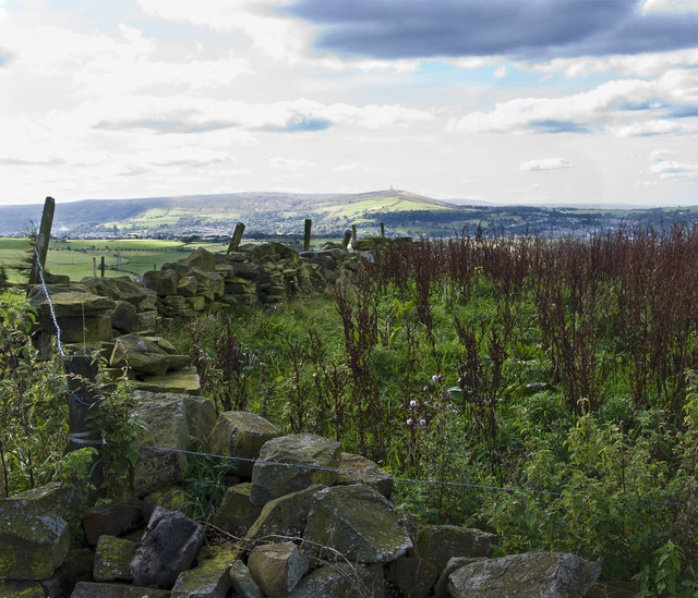
The primary characteristic of Clough is its picturesque landscape, featuring stunning views of the surrounding countryside. The valley is renowned for its natural beauty, with lush green fields, wooded areas, and a meandering river running through it. This makes it a popular destination for outdoor enthusiasts, who visit to enjoy activities such as hiking, cycling, and fishing.
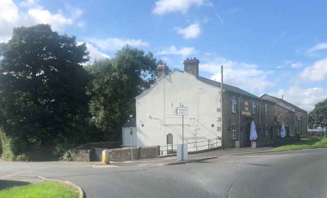
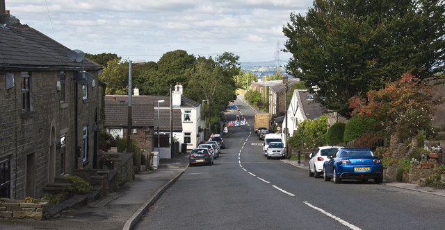
The community of Clough is small and tight-knit, with a population of approximately 300 residents. The village consists of a scattering of traditional stone cottages, farmhouses, and a handful of modern houses. Though predominantly residential, there are a few local businesses, including a small convenience store and a pub that serves as a social hub for the community.
Historically, Clough was a farming community, and agriculture still plays a significant role in the local economy. Dairy farming, sheep rearing, and crop cultivation are common in the area. However, in recent years, there has been a gradual shift towards diversification, with an increase in tourism-related activities, such as bed and breakfast establishments and holiday cottages.
Clough Valley offers a serene and idyllic escape from the hustle and bustle of city life. With its natural beauty, close-knit community, and rural lifestyle, it is a charming destination for those seeking tranquility in the heart of Lancashire.
If you have any feedback on the listing, please let us know in the comments section below.
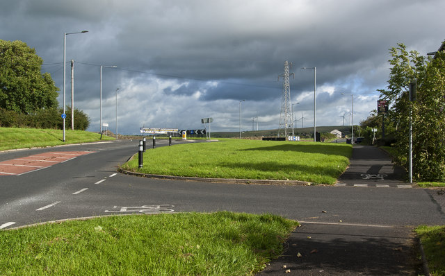
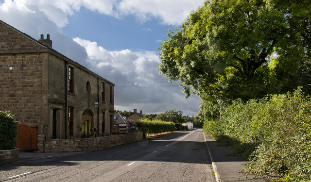
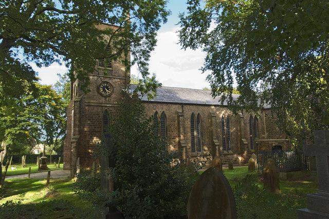
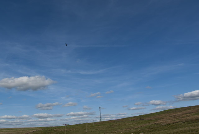
Clough Images
Images are sourced within 2km of 53.729944/-2.4207898 or Grid Reference SD7226. Thanks to Geograph Open Source API. All images are credited.
Clough is located at Grid Ref: SD7226 (Lat: 53.729944, Lng: -2.4207898)
Administrative County: Lancashire
District: Hyndburn
Police Authority: Lancashire
What 3 Words
///fields.trail.loss. Near Church, Lancashire
Nearby Locations
Related Wikis

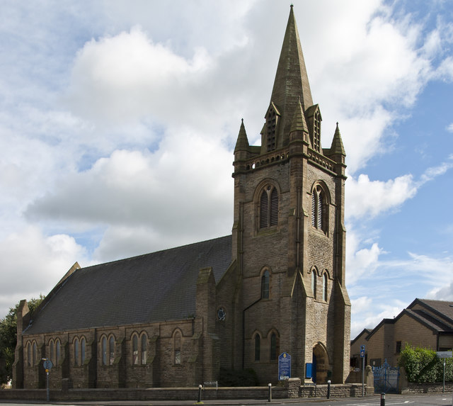
Immanuel Church, Oswaldtwistle
Immanuel Church is an Anglican church in Oswaldtwistle, Lancashire, England. It is an active parish church in the Diocese of Blackburn and the archdeaconry...

Belthorn
Belthorn is a small moorland village situated to the south-east of Blackburn in Lancashire, England. It is about two-thirds of a mile (1.1 km) away from...

Guide, Lancashire
Guide is a village on the edge of Blackburn, in Lancashire, England. It is located south of the town centre, and the M65 Motorway passes around the south...

Blackburn with Darwen Teaching Primary Care Trust
Blackburn with Darwen tPCT was an English National Health Service primary care trust, responsible for commissioning & purchasing of health care in Blackburn...
Nearby Amenities
Located within 500m of 53.729944,-2.4207898Have you been to Clough?
Leave your review of Clough below (or comments, questions and feedback).