Duckworth Hill
Hill, Mountain in Lancashire Hyndburn
England
Duckworth Hill
Duckworth Hill is a small hill located in the county of Lancashire, England. It is situated near the town of Darwen, approximately 10 miles north of the city of Blackburn. Despite its modest height, reaching only 331 meters (1,086 feet) above sea level, Duckworth Hill is considered one of the prominent landmarks in the area.
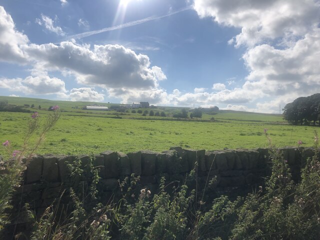
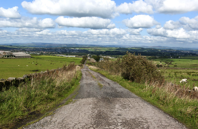
The hill is part of the West Pennine Moors, a range of hills and moorland that forms a natural boundary between Lancashire and Greater Manchester. Its distinct shape and lush greenery make it a popular destination for hikers, nature enthusiasts, and photographers. The surrounding areas offer breathtaking views of the Lancashire countryside, with rolling hills and picturesque landscapes.
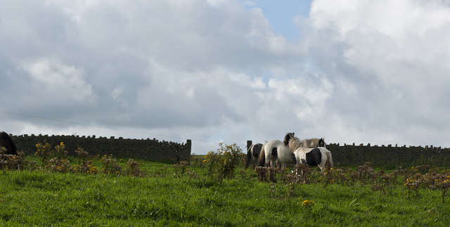
Duckworth Hill is accessible via various footpaths and trails, making it an ideal spot for outdoor activities such as walking, jogging, and mountain biking. The terrain is relatively gentle, with a mixture of grassy slopes and rocky outcrops. As visitors ascend the hill, they can enjoy the tranquility of the surrounding countryside and may encounter local wildlife such as birds, rabbits, and deer.
The hill is named after the Duckworth family, who were prominent landowners in the area during the 19th century. Their influence and ownership of the land played a significant role in the development of local industries, including the cotton mills that were once prevalent in Lancashire.
Overall, Duckworth Hill offers a peaceful and scenic escape for those seeking a break from the hustle and bustle of urban life. Its natural beauty and historical significance make it a cherished feature of the Lancashire landscape.
If you have any feedback on the listing, please let us know in the comments section below.
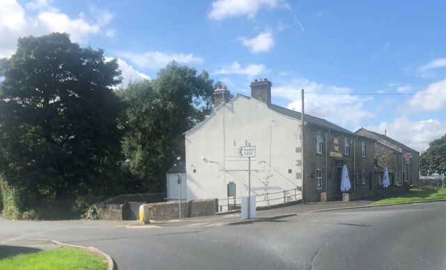
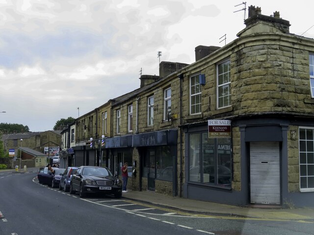
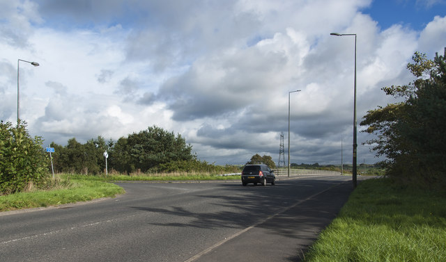
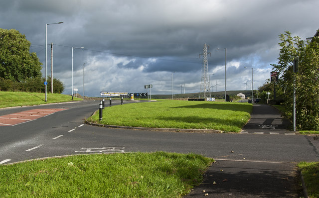
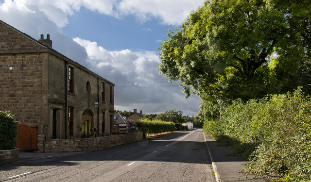
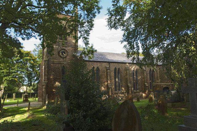
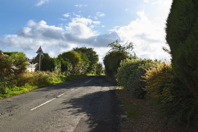
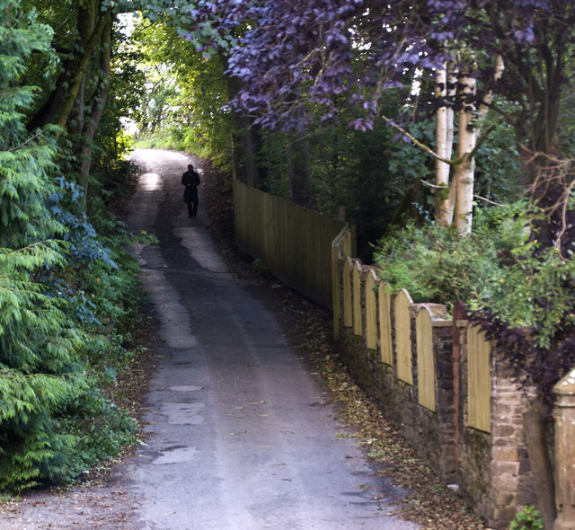
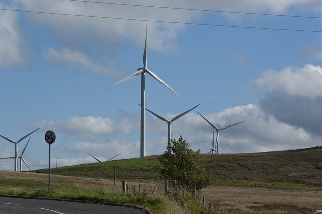
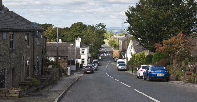
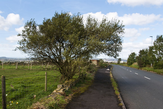
Duckworth Hill Images
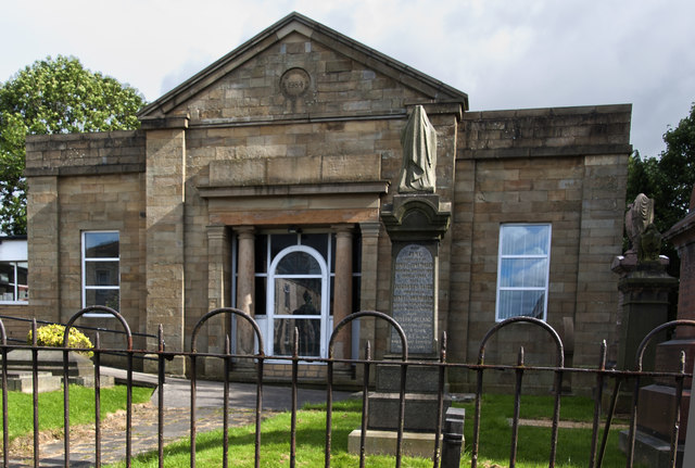
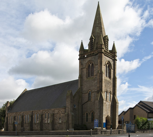
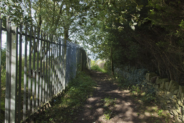
Images are sourced within 2km of 53.733223/-2.4133948 or Grid Reference SD7226. Thanks to Geograph Open Source API. All images are credited.
Duckworth Hill is located at Grid Ref: SD7226 (Lat: 53.733223, Lng: -2.4133948)
Administrative County: Lancashire
District: Hyndburn
Police Authority: Lancashire
What 3 Words
///digress.deposits.befitting. Near Church, Lancashire
Nearby Locations
Related Wikis

Immanuel Church, Oswaldtwistle
Immanuel Church is an Anglican church in Oswaldtwistle, Lancashire, England. It is an active parish church in the Diocese of Blackburn and the archdeaconry...

Oswaldtwistle
Oswaldtwistle ( "ozzel twizzel") is a town in the Hyndburn borough of Lancashire, England, 3 miles (5 km) southeast of Blackburn, contiguous with Accrington...

Rhyddings
Rhyddings (formerly Rhyddings High School and then Rhyddings Business and Enterprise School) is a mixed secondary school located in Oswaldtwistle in the...

Belthorn
Belthorn is a small moorland village situated to the south-east of Blackburn in Lancashire, England. It is about two-thirds of a mile (1.1 km) away from...
Nearby Amenities
Located within 500m of 53.733223,-2.4133948Have you been to Duckworth Hill?
Leave your review of Duckworth Hill below (or comments, questions and feedback).