Aniceford Coppice

Wood, Forest in Worcestershire Malvern Hills

England

Aniceford Coppice

St Andrew’s Church, Stockton on Theme, Worcestershire The church was built in the twelfth century on the site of an older Saxon church. The timber porch was added in the fourteenth century with buttresses to spread the load of the bell tower. In 1718 the chancel fell down and was re-built in brick. The church was restored in 1845 and 1898 but keeping its fourteenth century appearance.
St Andrew’s Church, Stockton on Theme, Worcestershire Credit: Richard Rogerson

Aniceford Coppice is a picturesque woodland area located in Worcestershire, England. Spread over a sprawling area, this coppice is known for its natural beauty and diverse range of flora and fauna. The coppice is situated near the village of Aniceford, making it easily accessible for nature enthusiasts and locals alike.

The woodland is predominantly made up of oak and birch trees, creating a dense canopy that provides shade and shelter for the wide variety of wildlife that call this area home. Walking through the woodland, visitors can expect to see an array of wildflowers and ferns, adding to the charm and beauty of the landscape.

Aniceford Coppice is a designated Site of Special Scientific Interest (SSSI), due to its rich biodiversity and ecological importance. The woodland is home to several rare and protected species, including the lesser spotted woodpecker, the common dormouse, and a variety of butterflies and insects.

For those interested in outdoor activities, the coppice offers numerous walking trails and paths, allowing visitors to explore the woodland at their own pace. The tranquil atmosphere of the woodland makes it an ideal spot for birdwatching, photography, or simply enjoying a peaceful picnic amidst nature.

Overall, Aniceford Coppice is a hidden gem in Worcestershire, offering a tranquil and enchanting experience for nature lovers. Its natural beauty, diverse wildlife, and accessibility make it a must-visit destination for anyone looking to escape the hustle and bustle of everyday life and immerse themselves in the wonders of the natural world.

If you have any feedback on the listing, please let us know in the comments section below.

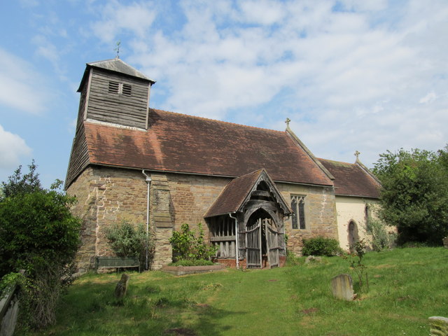
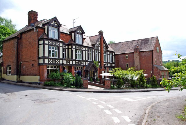
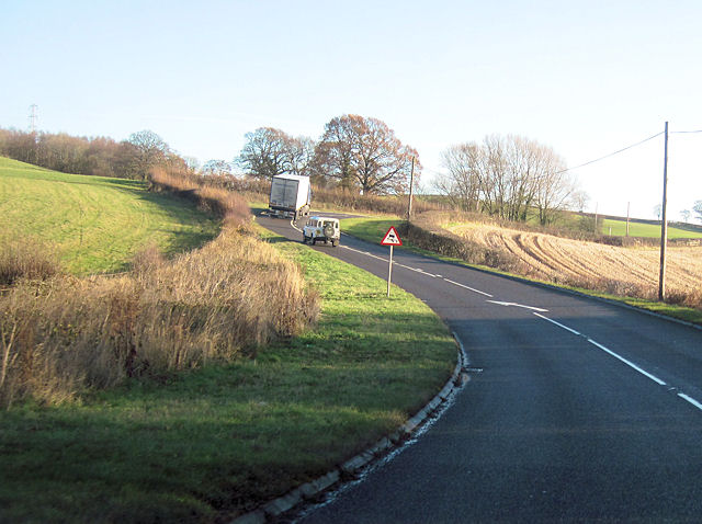
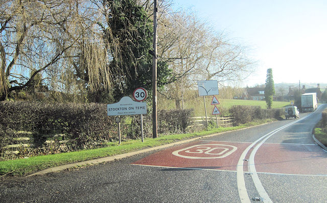
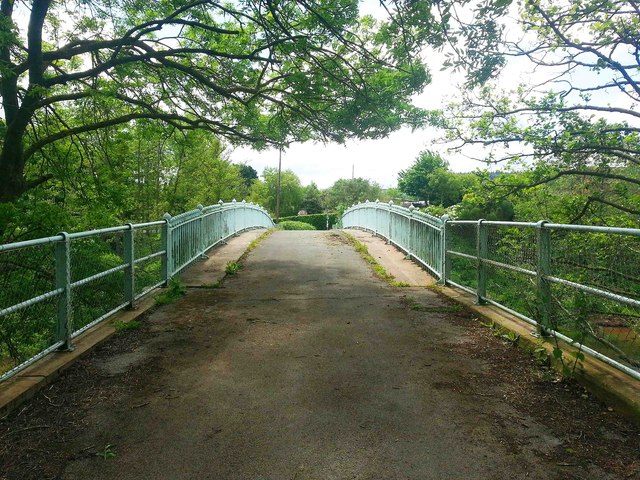
Aniceford Coppice Images

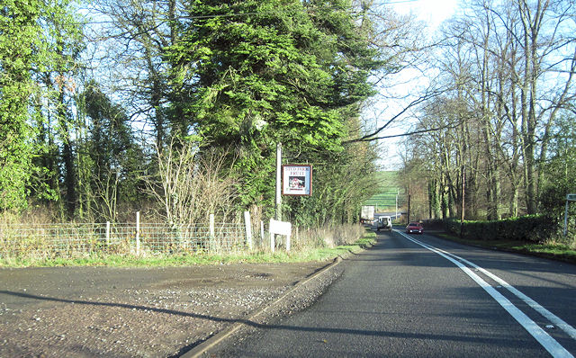
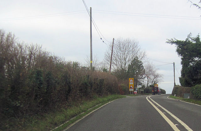
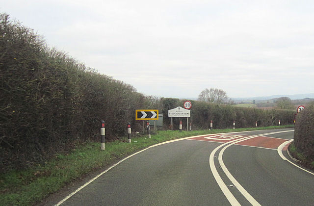
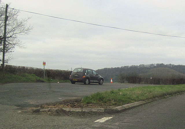
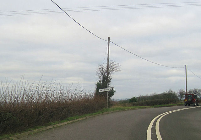
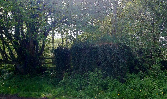
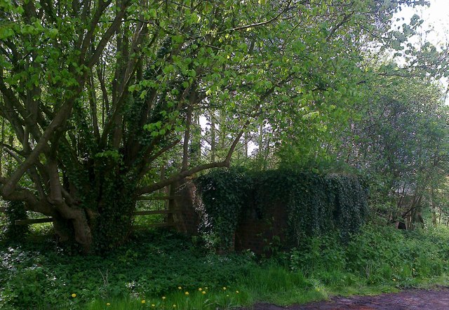
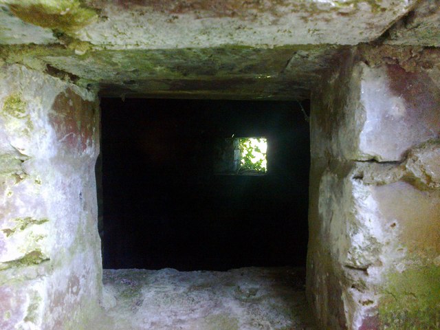
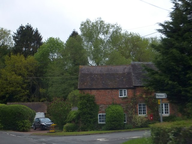
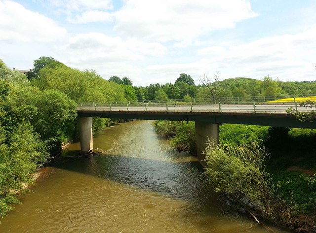
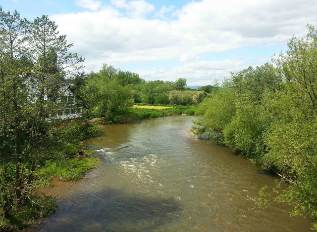
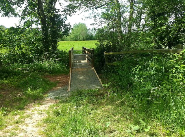
Images are sourced within 2km of 52.303382/-2.4108966 or Grid Reference SO7267. Thanks to Geograph Open Source API. All images are credited.

St Andrew’s Church, Stockton on Theme, Worcestershire The church was built in the twelfth century on the site of an older Saxon church. The timber porch was added in the fourteenth century with buttresses to spread the load of the bell tower. In 1718 the chancel fell down and was re-built in brick. The church was restored in 1845 and 1898 but keeping its fourteenth century appearance.
St Andrew’s Church, Stockton on Theme, Worcestershire
The church was built in the twelfth century on the site of an older Saxon church. The timber porch was added in the fourteenth century with buttresses to spread the load of the bell tower. In 1718 the chancel fell down and was re-built in brick. The church was restored in 1845 and 1898 but keeping its fourteenth century appearance.
The Bridge Hotel, Stanford Bridge The building on the left is The Bridge Hotel, which these days is more a pub with restaurant than an hotel. Indeed, on their website, there is no mention of accommodation, so maybe this is no longer offered. The building is early 19th century, with a late 19th century brick and half-timbered facade.

The large and much altered building on the right was, in the past, a village store and post office. Prior to that, it seems to have been the 19th century mill belonging to Mill Farm.
The Bridge Hotel, Stanford Bridge
The building on the left is The Bridge Hotel, which these days is more a pub with restaurant than an hotel. Indeed, on their website, there is no mention of accommodation, so maybe this is no longer offered. The building is early 19th century, with a late 19th century brick and half-timbered facade. The large and much altered building on the right was, in the past, a village store and post office. Prior to that, it seems to have been the 19th century mill belonging to Mill Farm.
Double bend on A443 near The Lowe Farm Just west of Stockton on Teme looking towards the east
Double bend on A443 near The Lowe Farm
Just west of Stockton on Teme looking towards the east
Running into Stockton on Teme From A443 eastbound
Running into Stockton on Teme
From A443 eastbound
Stud Farm fruit entrance Off A443 just west of Elms Hotel
Stud Farm fruit entrance
Off A443 just west of Elms Hotel
A443 at Elms Green Looking west
A443 at Elms Green
Looking west
Stockton on Teme from the east Entering on the A443
Stockton on Teme from the east
Entering on the A443
Large lay by on westbound A443 Just west of Lowgreen cottage
Large lay by on westbound A443
Just west of Lowgreen cottage
Stockton on Teme west of Aniceford house Westbound A443
Stockton on Teme west of Aniceford house
Westbound A443
A443 approaching Menithwood turn off
Stanford Bridge pillbox The ivy-covered pillbox at the Northern end of the old bridge across the River Teme at Stanford Bridge, Worcestershire.
<span class="nowrap"><a title="http://en.wikipedia.org/wiki/British_hardened_field_defences_of_World_War_II" rel="nofollow ugc noopener" href="http://en.wikipedia.org/wiki/British_hardened_field_defences_of_World_War_II">Link</a><img style="margin-left:2px;" alt="External link" title="External link - shift click to open in new window" src="https://s1.geograph.org.uk/img/external.png" width="10" height="10"/></span>
Stanford Bridge pillbox
The ivy-covered pillbox at the Northern end of the old bridge across the River Teme at Stanford Bridge, Worcestershire. LinkExternal link
Ivy-covered pillbox, Stanford Bridge. The over-grown but intact pill-box at the Northern end of the old bridge over the Teme at Stanford Bridge, Worcestershire.
<span class="nowrap"><a title="http://en.wikipedia.org/wiki/British_hardened_field_defences_of_World_War_II" rel="nofollow ugc noopener" href="http://en.wikipedia.org/wiki/British_hardened_field_defences_of_World_War_II">Link</a><img style="margin-left:2px;" alt="External link" title="External link - shift click to open in new window" src="https://s1.geograph.org.uk/img/external.png" width="10" height="10"/></span>
Ivy-covered pillbox, Stanford Bridge.
The over-grown but intact pill-box at the Northern end of the old bridge over the Teme at Stanford Bridge, Worcestershire. LinkExternal link
The business end of the pill-box embrasure - Stanford Bridge Pill-box embrasure - this pill-box is at the Northern end of the old River Teme bridge at Stanford Bridge, Worcestershire.
<span class="nowrap"><a title="http://en.wikipedia.org/wiki/British_hardened_field_defences_of_World_War_II" rel="nofollow ugc noopener" href="http://en.wikipedia.org/wiki/British_hardened_field_defences_of_World_War_II">Link</a><img style="margin-left:2px;" alt="External link" title="External link - shift click to open in new window" src="https://s1.geograph.org.uk/img/external.png" width="10" height="10"/></span>
The business end of the pill-box embrasure - Stanford Bridge
Pill-box embrasure - this pill-box is at the Northern end of the old River Teme bridge at Stanford Bridge, Worcestershire. LinkExternal link
Road to Pensax, east of Stockton-on-Teme
The modern road bridge, Stanford Bridge, Worcs The bridge dates from 1971-73 and was designed by W.R. Thomson, County Surveyor. It is believed to be the fifth bridge across the river here. It carries the B4203 road across the River Teme. Photographed from the old bridge, now used as a footbridge.
The modern road bridge, Stanford Bridge, Worcs
The bridge dates from 1971-73 and was designed by W.R. Thomson, County Surveyor. It is believed to be the fifth bridge across the river here. It carries the B4203 road across the River Teme. Photographed from the old bridge, now used as a footbridge.
The River Teme at Stanford Bridge, Worcs The river runs from south of Newtown in Powys, Wales, to its confluence with the River Severn, south of Worcester. Photographed from the old bridge across the river, now a footbridge.
The River Teme at Stanford Bridge, Worcs
The river runs from south of Newtown in Powys, Wales, to its confluence with the River Severn, south of Worcester. Photographed from the old bridge across the river, now a footbridge.
Footbridge across brook at Stanford Bridge, Worcs This footbridge carries a public footpath across a small brook into the field on the other side.
Footbridge across brook at Stanford Bridge, Worcs
This footbridge carries a public footpath across a small brook into the field on the other side.
The old road and the old bridge, Stanford Bridge, Worcs Until the modern road bridge across the River Teme was completed in 1973, the road used to cross the river using this bridge. Now the old road has been downgraded to a footpath. The bridge is 19th century but was rebuilt by the Worcestershire County Council in 1905.
The old road and the old bridge, Stanford Bridge, Worcs
Until the modern road bridge across the River Teme was completed in 1973, the road used to cross the river using this bridge. Now the old road has been downgraded to a footpath. The bridge is 19th century but was rebuilt by the Worcestershire County Council in 1905.
Show me another place!

Aniceford Coppice is located at Grid Ref: SO7267 (Lat: 52.303382, Lng: -2.4108966)

Administrative County: Worcestershire

District: Malvern Hills

Police Authority: West Mercia

What 3 Words

///sounding.refer.wiser. Near Collington, Herefordshire

Related Wikis

Stockton on Teme

Stockton on Teme is a village and civil parish in the Malvern Hills District in the county of Worcestershire, England. It is close to the River Teme and...
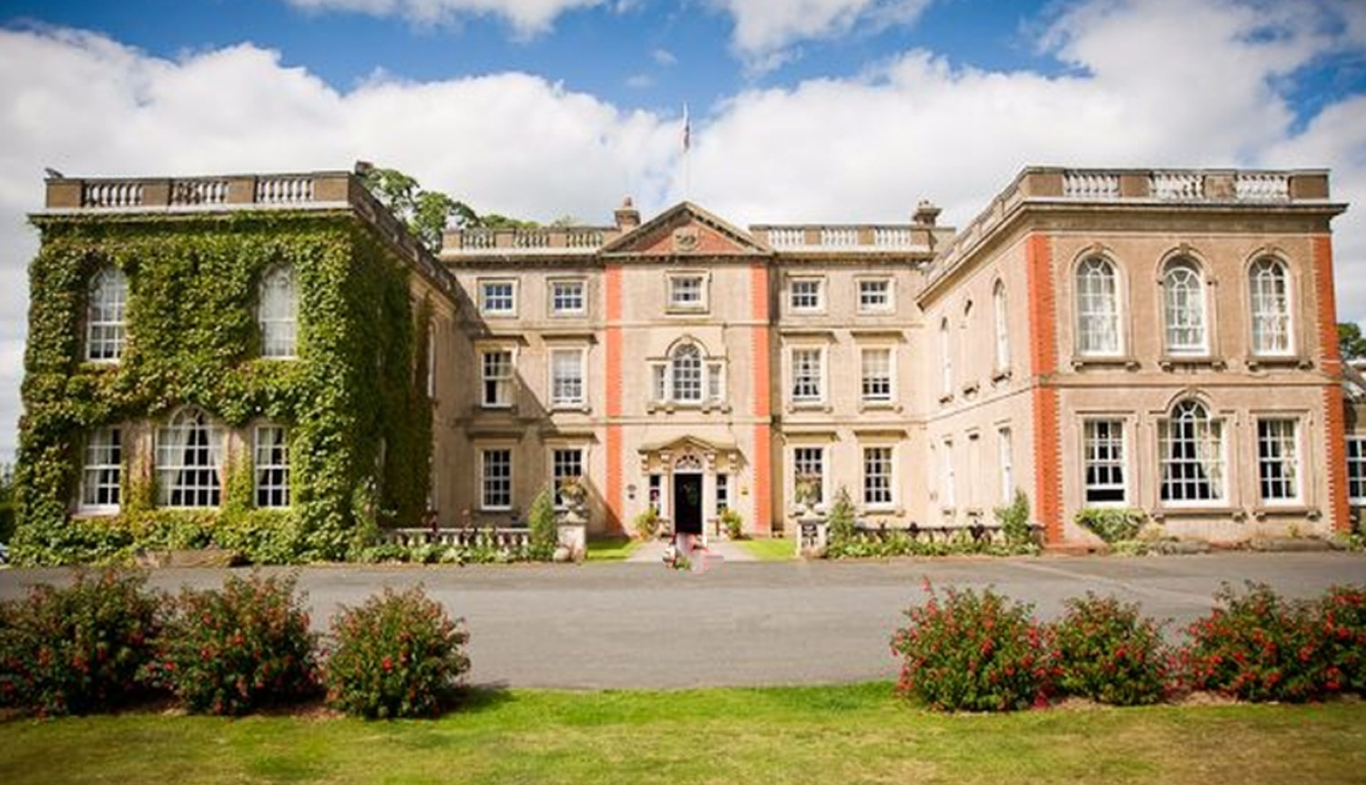
The Elms, Abberley

The Elms Hotel in Abberley, Worcestershire is a building of historical significance and is Grade II listed on the English Heritage Register. It was built...

Pensax

Pensax is a village and civil parish of northwest Worcestershire in England, incorporating the hamlet of Menithwood to the west of Pensax Common. According...

Stanford on Teme

Stanford on Teme is a village and former civil parish, now in the parish of Stanford with Orleton, in the Malvern Hills district, in the county of Worcestershire...

Nearby Amenities

Located within 500m of 52.303382,-2.4108966
Stockton on Teme
Created By: Potlatch 0.10f
Place: hamlet
Source: NPE
Wikidata: Q2694861
Lat/Long: 52.304093/-2.4171929
Bus Stop
Bowling Green Farm
Bus: yes
Naptan AtcoCode: 2000G612325
Naptan Bearing: NW
Naptan CommonName: Bowling Green Farm
Naptan Indicator: adj
Naptan Landmark: Bowling Green Farm
Naptan NaptanCode: wocdwmwp
Naptan Street: Stockton Road
Naptan Verified: no
Public Transport: platform
Source: naptan_import
Lat/Long: 52.3010126/-2.4065754
Pensax Turn
Naptan AtcoCode: 2000G654009
Naptan Bearing: SW
Naptan BusStopType: CUS
Naptan CommonName: Pensax Turn
Naptan Indicator: adj
Naptan Landmark: near Phone Box
Naptan NaptanCode: wocdpjgj
Naptan Street: Main Road
Naptan Verified: no
Source: naptan_import
Lat/Long: 52.3040132/-2.4149772
Pensax Turn
Naptan AtcoCode: 2000G754009
Naptan Bearing: W
Naptan BusStopType: CUS
Naptan CommonName: Pensax Turn
Naptan Indicator: opp
Naptan Landmark: near Phone Box
Naptan NaptanCode: wocgpamt
Naptan Street: Main Road
Naptan Verified: no
Source: naptan_import
Lat/Long: 52.3037974/-2.4149606
Post Box
Collection Times: Mo-Fr 09:00; Sa 07:00
Post Box Type: wall
Ref: WR6 284D
Royal Cypher: GR
Royal Cypher Wikidata: Q33102273
Lat/Long: 52.3041411/-2.4148943
Power: pole
Lat/Long: 52.299349/-2.4096778
Power: pole
Lat/Long: 52.2997517/-2.4126282
Power: pole
Lat/Long: 52.2999321/-2.4140552
Barrier: stile
Stile: stepover
Lat/Long: 52.3049477/-2.4139358
Power: pole
Lat/Long: 52.307247/-2.410807
Power: pole
Lat/Long: 52.3063692/-2.4111852
Wharf Farm
Power: pole
Transformer: distribution
Voltage Primary: 11000
Lat/Long: 52.3059801/-2.4112
Power: pole
Lat/Long: 52.3069166/-2.4113113
Power: pole
Lat/Long: 52.3064697/-2.4119993
Power: pole
Lat/Long: 52.3061663/-2.4124928
Power: pole
Lat/Long: 52.3058087/-2.4130359
Power: pole
Lat/Long: 52.3054561/-2.4136046
School House
Power: pole
Transformer: distribution
Voltage Primary: 11000
Lat/Long: 52.3045303/-2.4150543
Aniceford House
Power: pole
Transformer: distribution
Voltage Primary: 11000
Lat/Long: 52.3031059/-2.4129756
Power: pole
Lat/Long: 52.3035889/-2.413445
Power: pole
Lat/Long: 52.3040973/-2.4140109
Power: pole
Lat/Long: 52.3047419/-2.4147297
Power: pole
Lat/Long: 52.3051166/-2.4141383
Power: pole
Lat/Long: 52.3051863/-2.4151401
Power: pole
Lat/Long: 52.3052647/-2.4161822
Power: pole
Lat/Long: 52.2999977/-2.4156618
Power: pole
Lat/Long: 52.2995221/-2.4109465
The data included in this document is from www.openstreetmap.org. The data is made available under ODbL.

Have you been to Aniceford Coppice?

Leave your review of Aniceford Coppice below (or comments, questions and feedback).