Mill Wood

Wood, Forest in Yorkshire South Lakeland

England

Mill Wood

Track to Woman's Land The 18th century farmhouse is listed but not clearly visible in this view from the public road.  The listing does not explain the name, I guess that  at some time in the past a daughter rather than a son inherited the farm.
Track to Woman's Land Credit: Stephen Craven

Mill Wood is a picturesque woodland located in Yorkshire, England. Situated in the heart of the county, this enchanting forest covers an area of approximately 50 acres. The wood is known for its rich history, dating back centuries. It is believed that the wood was once used to supply timber for the nearby mills, hence its name.

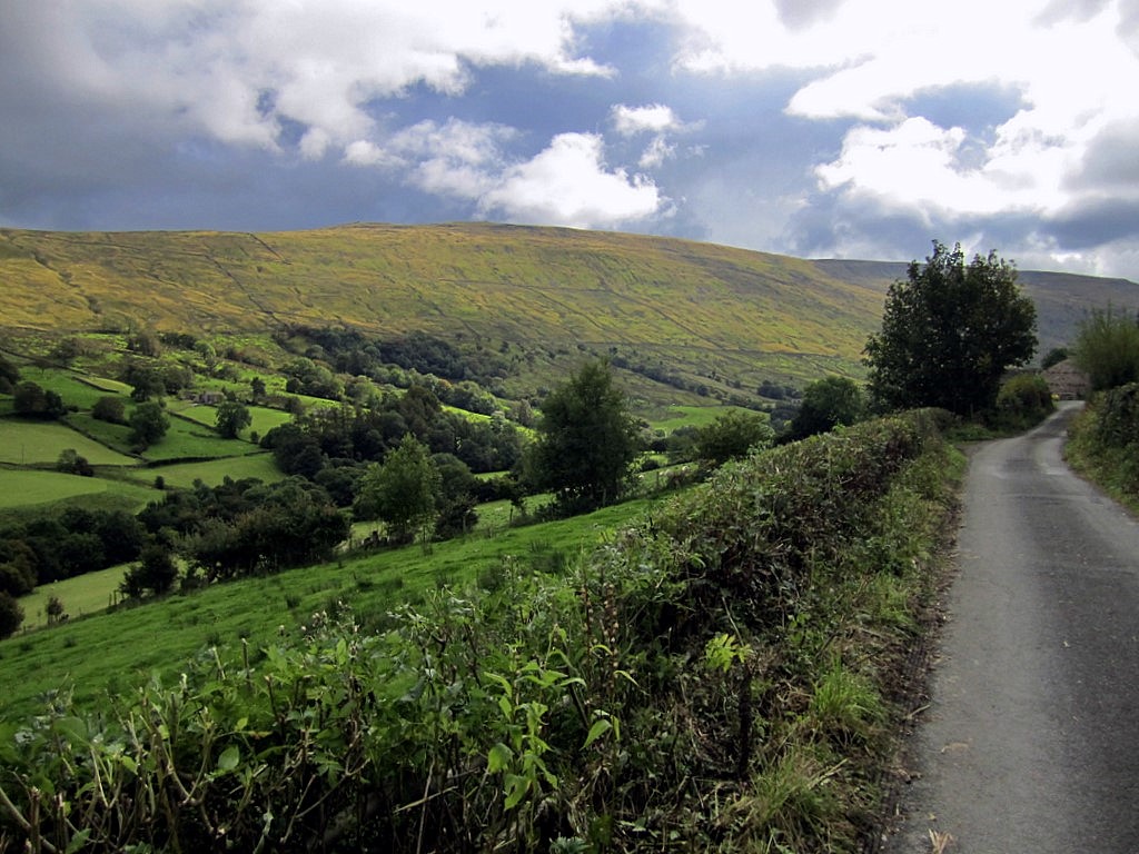
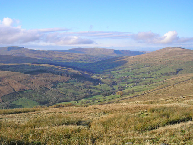
The woodland is a haven for nature enthusiasts and provides a peaceful retreat for visitors. It boasts a diverse range of flora and fauna, including ancient oak and beech trees that tower over the forest floor. The woodland floor is carpeted with bluebells during the springtime, creating a stunning display of vibrant colors.

Walking through Mill Wood, visitors can expect to encounter a variety of wildlife. Squirrels scurry through the branches, while birdsong fills the air, as species such as woodpeckers and thrushes make their homes within the trees. The wood is also home to a number of small mammals, including foxes and badgers, which can occasionally be spotted during dusk or dawn.

The wood is popular with walkers and hikers, as it offers a network of well-maintained trails that lead visitors through its enchanting landscape. These paths wind through the woodland, providing stunning vistas and allowing visitors to truly immerse themselves in the natural beauty of the area.

Overall, Mill Wood in Yorkshire is a treasured gem, offering a peaceful and scenic retreat for nature lovers. With its rich history, diverse wildlife, and stunning scenery, it continues to captivate visitors and locals alike.

If you have any feedback on the listing, please let us know in the comments section below.
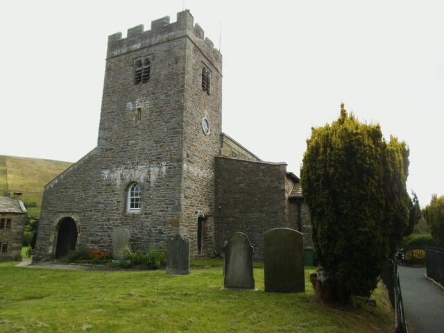
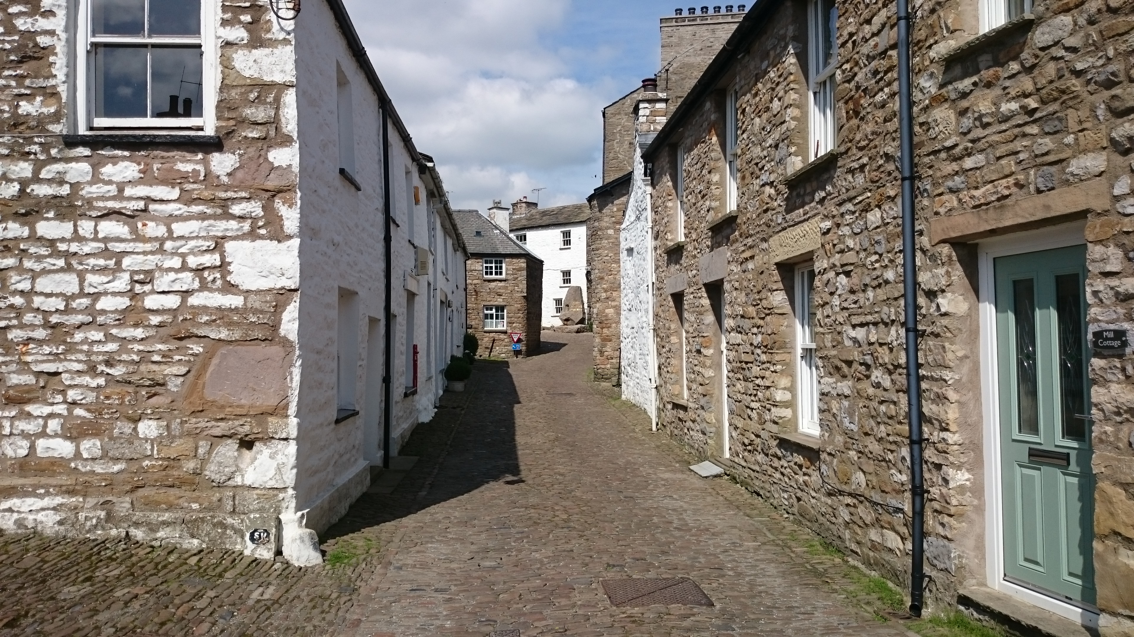
Mill Wood Images

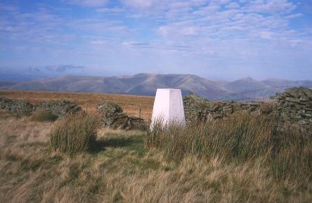
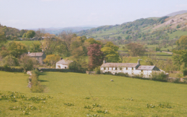
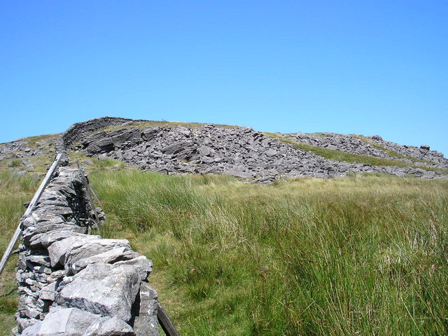
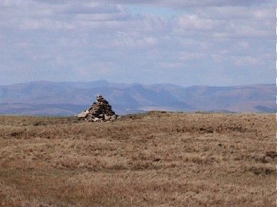
Images are sourced within 2km of 54.268509/-2.4301598 or Grid Reference SD7285. Thanks to Geograph Open Source API. All images are credited.

Track to Woman's Land The 18th century farmhouse is listed but not clearly visible in this view from the public road.  The listing does not explain the name, I guess that  at some time in the past a daughter rather than a son inherited the farm.
Track to Woman's Land
The 18th century farmhouse is listed but not clearly visible in this view from the public road. The listing does not explain the name, I guess that at some time in the past a daughter rather than a son inherited the farm.
Sign for Woman's Land See <a href="https://www.geograph.org.uk/photo/6961498">SD7286 : Track to Woman's Land</a> for context.
Sign for Woman's Land
Bankland, Dentdale Viewed from the road past Woman's Land across the dale.
Bankland, Dentdale
Viewed from the road past Woman's Land across the dale.
Whernside View, Dentdale The name refers to the unpainted building to the right; its view of Whernside is in the opposite direction. The whitewashed house to the left is Low Ground, grade II listed (list entry 1383905).
Whernside View, Dentdale
The name refers to the unpainted building to the right; its view of Whernside is in the opposite direction. The whitewashed house to the left is Low Ground, grade II listed (list entry 1383905).
Sign at the bottom of Deepdale Lane
St Andrew's, Dent - south side The church is unusual in having a continuous roof line through nave and chancel.
St Andrew's, Dent - south side
The church is unusual in having a continuous roof line through nave and chancel.
St Andrew's, Dent - tower The tower is late 18th century although the style is much older.
St Andrew's, Dent - tower
The tower is late 18th century although the style is much older.
St Andrew's, Dent - interior looking east The church is unusual in having a continuous roof through nave and chancel, which emphasises its length.
St Andrew's, Dent - interior looking east
The church is unusual in having a continuous roof through nave and chancel, which emphasises its length.
St Andrew's, Dent - roof detail The church is unusual in having a continuous roof through nave and chancel, which emphasises its length.
St Andrew's, Dent - roof detail
The church is unusual in having a continuous roof through nave and chancel, which emphasises its length.
St Andrew's, Dent - chancel woodwork Carved stalls, screen and organ case.
St Andrew's, Dent - chancel woodwork
Carved stalls, screen and organ case.
St Andrew's, Dent - box pews Some of the box pews that once filled the church are retained here in the south aisle.
St Andrew's, Dent - box pews
Some of the box pews that once filled the church are retained here in the south aisle.
St Andrew's, Dent - east window Fifteen figures are illustrated in the lights of this window: on the top row, Christ flanked by archangels and cherubim; in the middle, the Biblical King David with Saints Stephen, George, Alban and John; and on the bottom, the prophet Zechariah and Saint Peter with between them the English saints Aidan Cuthbert and Chad. The Gothic wording is phrases from the ancient hymn Te Deum Laudamus.
St Andrew's, Dent - east window
Fifteen figures are illustrated in the lights of this window: on the top row, Christ flanked by archangels and cherubim; in the middle, the Biblical King David with Saints Stephen, George, Alban and John; and on the bottom, the prophet Zechariah and Saint Peter with between them the English saints Aidan Cuthbert and Chad. The Gothic wording is phrases from the ancient hymn Te Deum Laudamus.
St Andrew's, Dent - angels window A small window in a side chapel in the pre-Raphaelite style with two groups of female angels with the text "Far away like bells at even" and "The night is far spent, the day is at hand".
St Andrew's, Dent - angels window
A small window in a side chapel in the pre-Raphaelite style with two groups of female angels with the text "Far away like bells at even" and "The night is far spent, the day is at hand".
St Andrew's, Dent - churchyard entrance A gate at the western end of the churchyard, with a very narrow stile.
St Andrew's, Dent - churchyard entrance
A gate at the western end of the churchyard, with a very narrow stile.
Sedgwick memorial, Dent Adam Sedgwick (1785-1873), a son of the local vicar, was best known for his pre-eminence in the then young discipline of geology. His memorial in the village street takes the form of a drinking fountain. It is grade II listed (list entry 1383986) but the listing dates it no more precisely than "late 19th century" and does not name the sculptor.
Sedgwick memorial, Dent
Adam Sedgwick (1785-1873), a son of the local vicar, was best known for his pre-eminence in the then young discipline of geology. His memorial in the village street takes the form of a drinking fountain. It is grade II listed (list entry 1383986) but the listing dates it no more precisely than "late 19th century" and does not name the sculptor.
Beech Hill, Dent  To the left is the grade II listed George and Dragon pub (list entry 1383990). Beyond it is a building still bearing the name Martins Bank Limited, although the company became part of Barclays as long ago as 1968. This branch apparently opened in 1898 as the Bank of Liverpool, being taken over by Martins in 1928 and closing in 1972.  Source: <span class="nowrap"><a title="http://www.martinsbank.co.uk/" rel="nofollow ugc noopener" href="http://www.martinsbank.co.uk/">Link</a><img style="margin-left:2px;" alt="External link" title="External link - shift click to open in new window" src="https://s1.geograph.org.uk/img/external.png" width="10" height="10"/></span>
Beech Hill, Dent
To the left is the grade II listed George and Dragon pub (list entry 1383990). Beyond it is a building still bearing the name Martins Bank Limited, although the company became part of Barclays as long ago as 1968. This branch apparently opened in 1898 as the Bank of Liverpool, being taken over by Martins in 1928 and closing in 1972. Source: LinkExternal link
Limekiln in Dentdale See also <a href="https://www.geograph.org.uk/photo/5957533">SD7286 : Disused Lime Kiln </a>. Listed grade II (list entry 1383901) as "A good example of its type, relatively well preserved... Conspicuous feature of the landscape at this point in Dentdale".
Limekiln in Dentdale
See also SD7286 : Disused Lime Kiln . Listed grade II (list entry 1383901) as "A good example of its type, relatively well preserved... Conspicuous feature of the landscape at this point in Dentdale".
Milestone in Dentdale The milestone is of a design distinctive to this area, a circular column just marked  "S 7" (S standing for Sedbergh).  Listed grade II (list entry 1383914). See <a href="https://www.geograph.org.uk/photo/6980982">SD6987 : Milestone by Holme Cottage</a> for a similar one on the road the other side of the dale.
Milestone in Dentdale
The milestone is of a design distinctive to this area, a circular column just marked "S 7" (S standing for Sedbergh). Listed grade II (list entry 1383914). See SD6987 : Milestone by Holme Cottage for a similar one on the road the other side of the dale.
Show me another place!

Mill Wood is located at Grid Ref: SD7285 (Lat: 54.268509, Lng: -2.4301598)

Division: West Riding

Administrative County: Cumbria

District: South Lakeland

Police Authority: Cumbria

What 3 Words

///shelters.hikes.safari. Near Sedbergh, Cumbria

Nearby Locations

Mill Wood

Related Wikis

Nearby Amenities

Located within 500m of 54.268509,-2.4301598
Barrier: stile
Material: wood
Source: survey;bing
Stile: stepover
Lat/Long: 54.2666367/-2.4342244
Barrier: stile
Material: wood
Source: survey;gps
Stile: stepover
Lat/Long: 54.2676794/-2.4324897
Barrier: stile
Source: survey;gps
Stile: ladder
Lat/Long: 54.2692767/-2.4303961
Barrier: stile
Source: survey;gps
Stile: ladder
Lat/Long: 54.2660961/-2.4288904
Barrier: kissing_gate
Source: survey;gps
Lat/Long: 54.2698326/-2.4314349
Barrier: stile
Source: survey;gps
Lat/Long: 54.2712989/-2.4335598
Barrier: stile
Source: survey;gps
Stile: squeezer
Lat/Long: 54.2682942/-2.4369284
Barrier: stile
Material: wood
Source: survey;gps
Stile: stepover
Lat/Long: 54.2693194/-2.4361163
Barrier: stile
Source: w
Stile: stepover
Lat/Long: 54.2679961/-2.437486
Power: pole
Lat/Long: 54.2645718/-2.4337211
Power: pole
Lat/Long: 54.2652135/-2.4338384
Power: pole
Lat/Long: 54.2659088/-2.4349053
Power: pole
Lat/Long: 54.2665803/-2.4359428
Power: pole
Lat/Long: 54.2673262/-2.4371079
Power: pole
Lat/Long: 54.2690844/-2.4236552
Power: pole
Lat/Long: 54.26933/-2.4248738
Power: pole
Lat/Long: 54.2693405/-2.4262173
Power: pole
Lat/Long: 54.2693509/-2.4275761
Power: pole
Lat/Long: 54.2693583/-2.4292051
Power: pole
Lat/Long: 54.2693643/-2.4301457
Power: pole
Lat/Long: 54.2691886/-2.4312088
Power: pole
Lat/Long: 54.2688819/-2.4330035
Power: pole
Lat/Long: 54.2687018/-2.434064
Power: pole
Lat/Long: 54.2685916/-2.4356548
Power: pole
Lat/Long: 54.268474/-2.4372379
Power: pole
Lat/Long: 54.2688983/-2.4275633
Power: pole
Lat/Long: 54.2683594/-2.4275302
Barrier: swing_gate
Bicycle: no
Foot: yes
Height: 0.8
Horse: no
Locked: no
Material: wood
Motor Vehicle: no
Wheelchair: no
Lat/Long: 54.2711461/-2.4251122
Power: pole
Lat/Long: 54.2683536/-2.423266
Power: pole
Lat/Long: 54.2680262/-2.4231031
Power: pole
Lat/Long: 54.2697861/-2.4324792
Power: pole
Lat/Long: 54.2702128/-2.4334494
Power: pole
Lat/Long: 54.2706422/-2.4343884
Power: pole
Lat/Long: 54.2709528/-2.4350592
Power: pole
Lat/Long: 54.2711248/-2.4356868
The data included in this document is from www.openstreetmap.org. The data is made available under ODbL.

Have you been to Mill Wood?

Leave your review of Mill Wood below (or comments, questions and feedback).