Elms Green
Settlement in Worcestershire Malvern Hills
England
Elms Green
Elms Green is a small village located in the county of Worcestershire, England. Situated in the heart of the countryside, it is surrounded by picturesque landscapes and rolling hills, making it an ideal destination for nature lovers and outdoor enthusiasts.
The village itself is characterized by its quaint charm and traditional architecture. Most of the houses in Elms Green are made of local stone, giving the area a unique and timeless appeal. The community is tight-knit and friendly, with a population of around 300 residents. This creates a close sense of community where neighbors often know each other by name.
Elms Green is well-served by amenities and services, including a local pub, a village hall, and a small convenience store. The pub, a focal point of the village, offers a warm and inviting atmosphere where locals and visitors alike can enjoy a pint and a hearty meal.
For those seeking recreational opportunities, Elms Green is surrounded by numerous walking and cycling trails, providing ample opportunities to explore the stunning Worcestershire countryside. The village is also conveniently located near several historic sites and attractions, such as the nearby Worcester Cathedral and the picturesque town of Pershore.
Overall, Elms Green offers a tranquil and idyllic lifestyle, away from the hustle and bustle of larger towns and cities. Its natural beauty, charming architecture, and close-knit community make it a desirable place to live or visit for those seeking a peaceful retreat in Worcestershire.
If you have any feedback on the listing, please let us know in the comments section below.
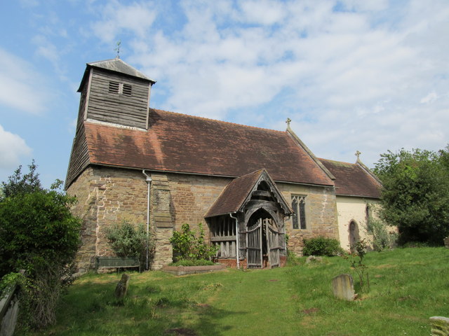
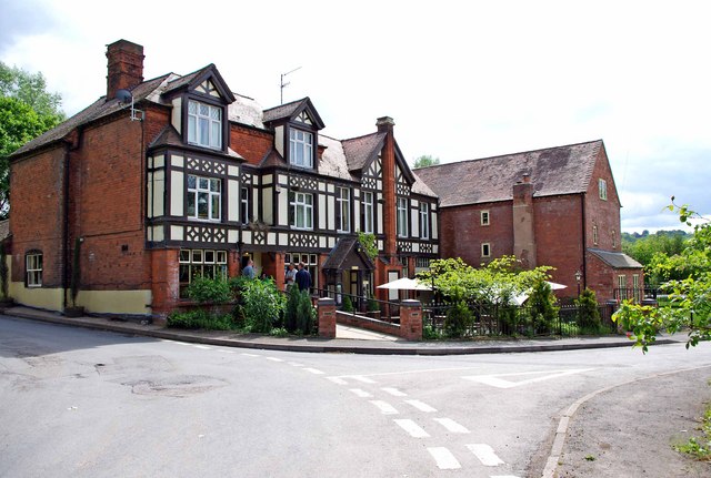
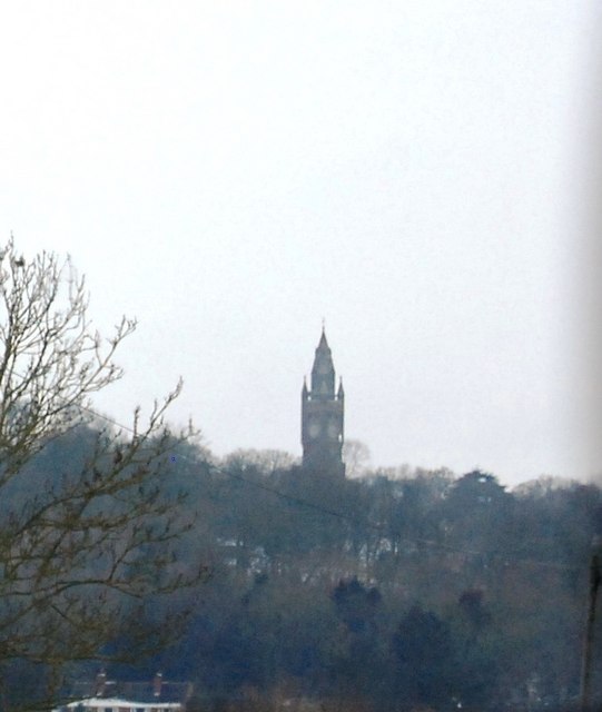
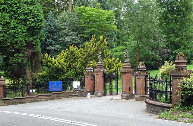
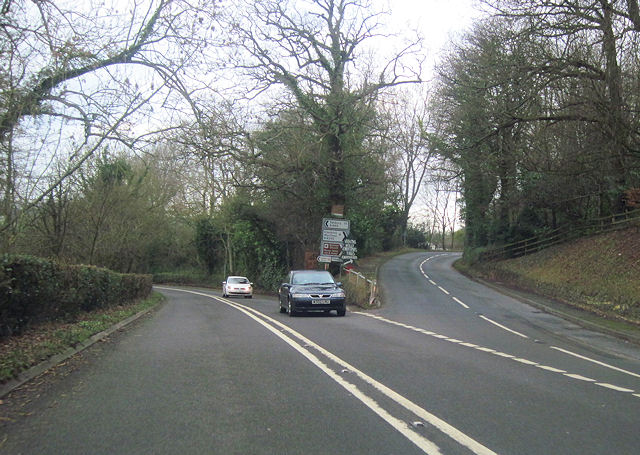
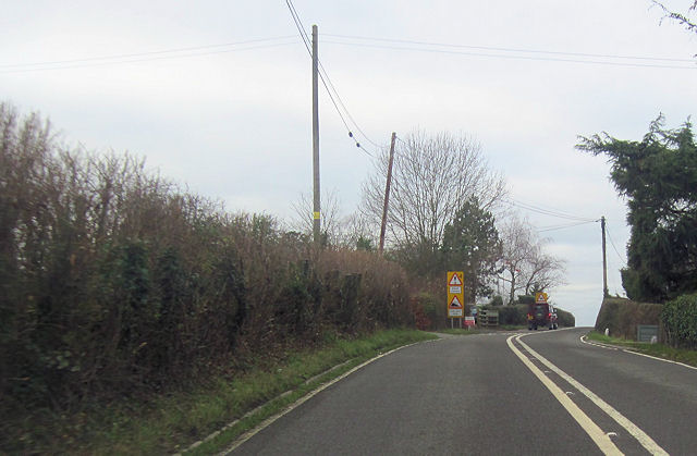
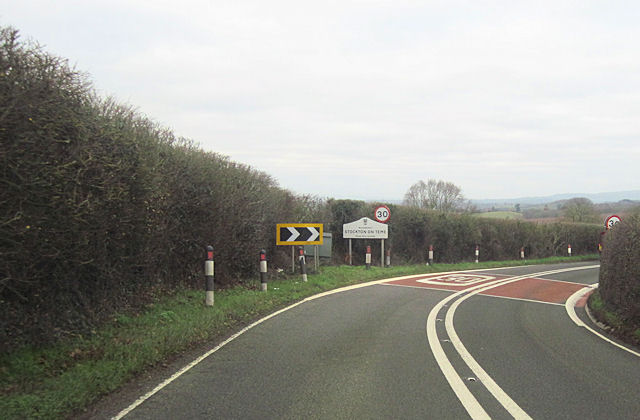
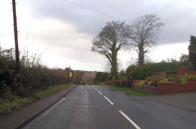
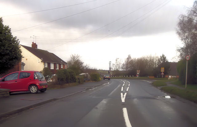
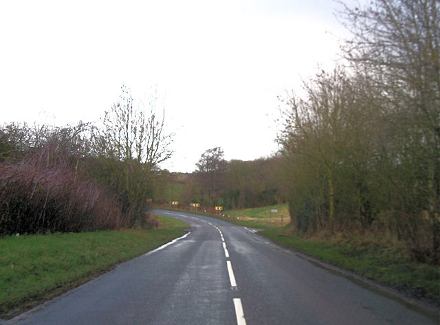
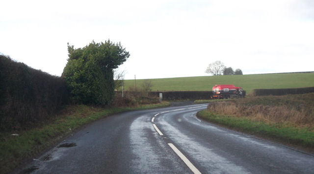
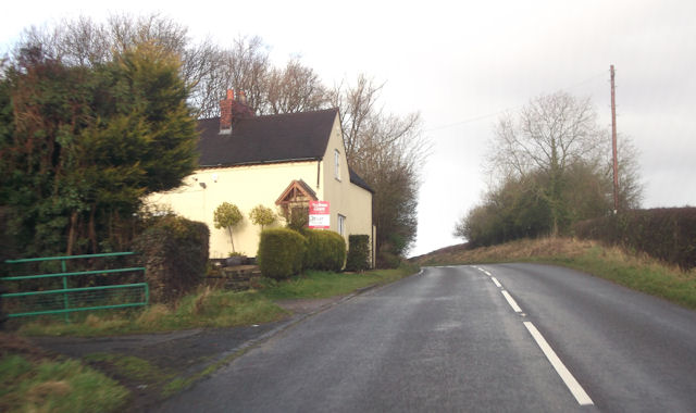
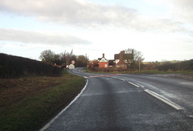
Elms Green Images
Images are sourced within 2km of 52.301315/-2.398858 or Grid Reference SO7267. Thanks to Geograph Open Source API. All images are credited.

Elms Green is located at Grid Ref: SO7267 (Lat: 52.301315, Lng: -2.398858)
Administrative County: Worcestershire
District: Malvern Hills
Police Authority: West Mercia
What 3 Words
///segregate.amplifier.enacted. Near Stourport-on-Severn, Worcestershire
Nearby Locations
Related Wikis
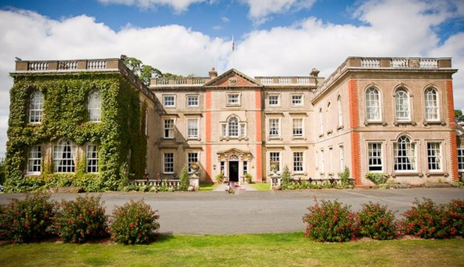
The Elms, Abberley
The Elms Hotel in Abberley, Worcestershire is a building of historical significance and is Grade II listed on the English Heritage Register. It was built...

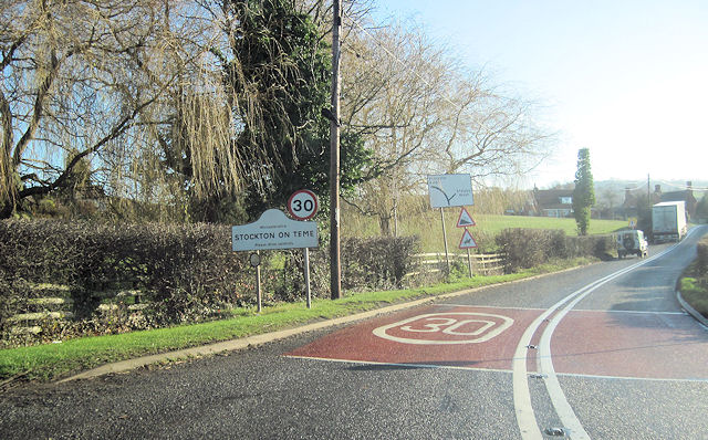
Stockton on Teme
Stockton on Teme is a village and civil parish in the Malvern Hills District in the county of Worcestershire, England. It is close to the River Teme and...
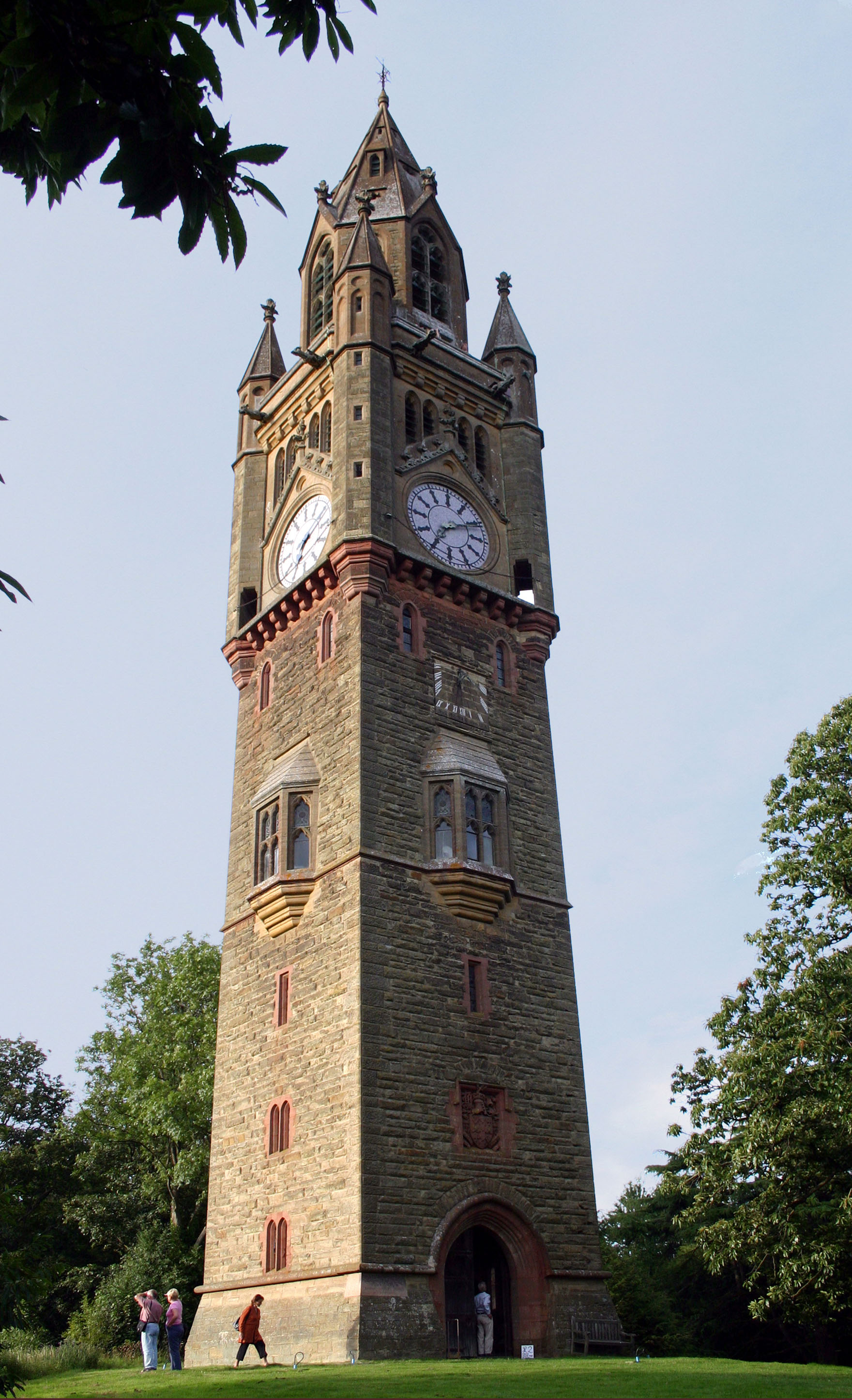
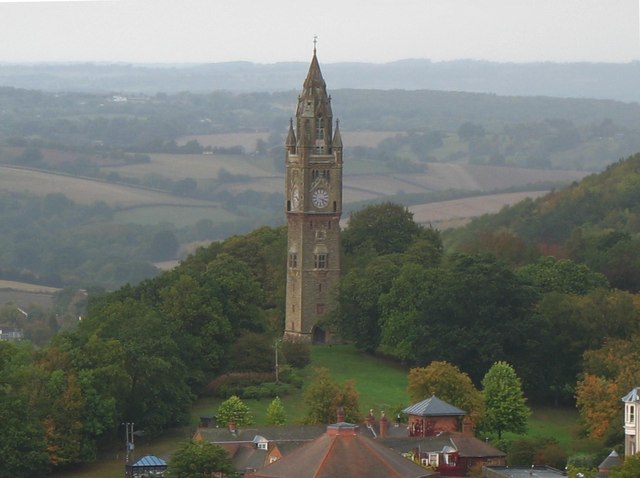
Abberley Clock Tower
Abberley Clock Tower is a prominent, distinctive clock tower in Abberley, Worcestershire, England. Built by James Piers St Aubyn around 1883 for Abberley...

Abberley Hall School
Abberley Hall School was a coeducational preparatory day and boarding school with about 160 pupils. It was located between Worcester and Tenbury, near...
Nearby Amenities
Located within 500m of 52.301315,-2.398858Have you been to Elms Green?
Leave your review of Elms Green below (or comments, questions and feedback).