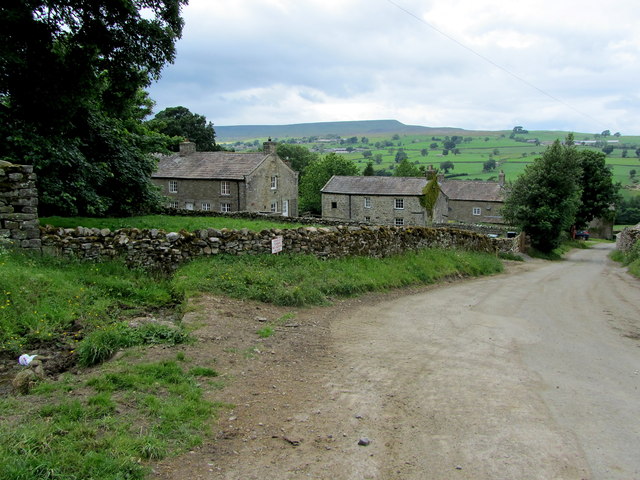
Coverham
Settlement in Yorkshire Richmondshire
England
Coverham

Coverham is a small village located in the district of Richmondshire, within the county of North Yorkshire, England. Nestled in the picturesque Yorkshire Dales National Park, it lies approximately 5 miles southeast of the market town of Leyburn. The village is situated on the eastern bank of the River Cover, from which it derives its name.
Coverham is renowned for its historic Coverham Abbey, a former Cistercian monastery founded in 1212 and dissolved during the Reformation. Today, only ruins remain, but they still stand as a testament to the village's rich history. The site is open to the public, allowing visitors to explore the remains and learn about the abbey's past.
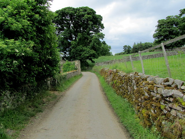
Surrounded by rolling hills and lush green fields, Coverham offers breathtaking views and ample opportunities for outdoor activities. The village is a popular destination for hikers and nature enthusiasts, with several walking trails and footpaths leading through the stunning countryside.
Despite its small size, Coverham has a strong sense of community. The village boasts a charming local pub, The Cover Bridge Inn, which serves as a gathering place for residents and visitors alike. The pub offers a warm and welcoming atmosphere, traditional pub food, and a selection of local ales.
Coverham's location provides easy access to nearby attractions, such as the historic market town of Richmond, the Aysgarth Falls, and the popular tourist spot of Bolton Castle.
In conclusion, Coverham is a quaint village in the heart of North Yorkshire's stunning countryside, offering a rich history, natural beauty, and a warm community spirit.
If you have any feedback on the listing, please let us know in the comments section below.
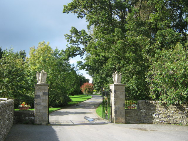
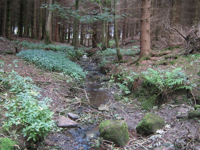
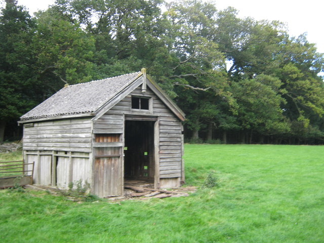
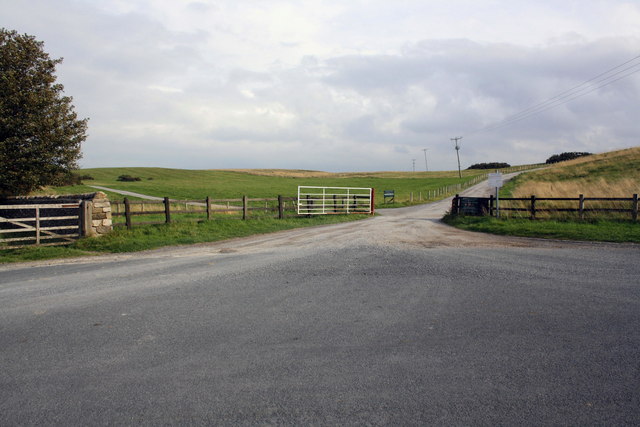
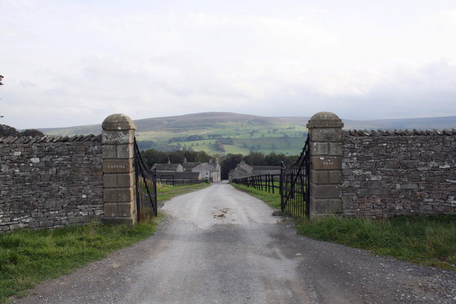
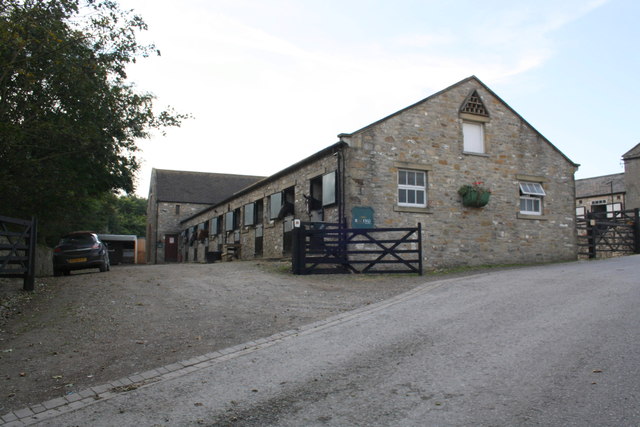
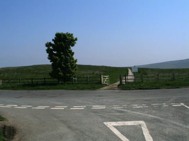
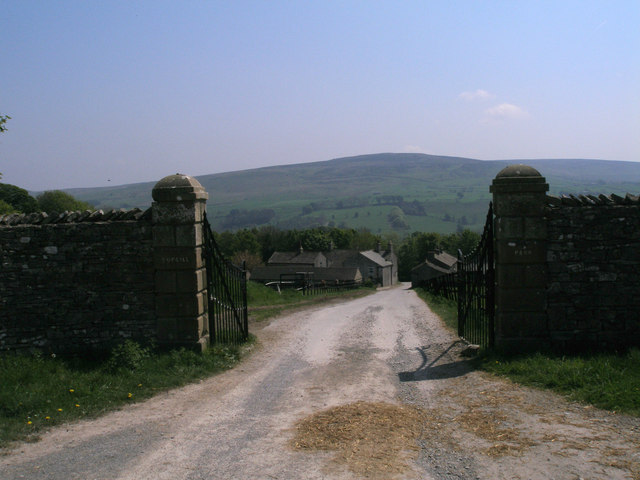
Coverham Images
Images are sourced within 2km of 54.27186/-1.841725 or Grid Reference SE1086. Thanks to Geograph Open Source API. All images are credited.


Coverham is located at Grid Ref: SE1086 (Lat: 54.27186, Lng: -1.841725)
Division: North Riding
Administrative County: North Yorkshire
District: Richmondshire
Police Authority: North Yorkshire
What 3 Words
///belief.searches.stunt. Near Leyburn, North Yorkshire
Nearby Locations
Related Wikis

Coverham
Coverham is a village in Coverdale in the Yorkshire Dales in North Yorkshire, England. It lies 2 miles (3.2 km) west of the town of Middleham. == History... ==

Holy Trinity Church, Coverham
Holy Trinity Church is a redundant Anglican church in the village of Coverham, North Yorkshire, England. It is recorded in the National Heritage List...
Coverham Abbey
Coverham Abbey, North Yorkshire, England, was a Premonstratensian monastery that was founded at Swainby in 1190 by Helewisia, daughter of the Chief Justiciar...
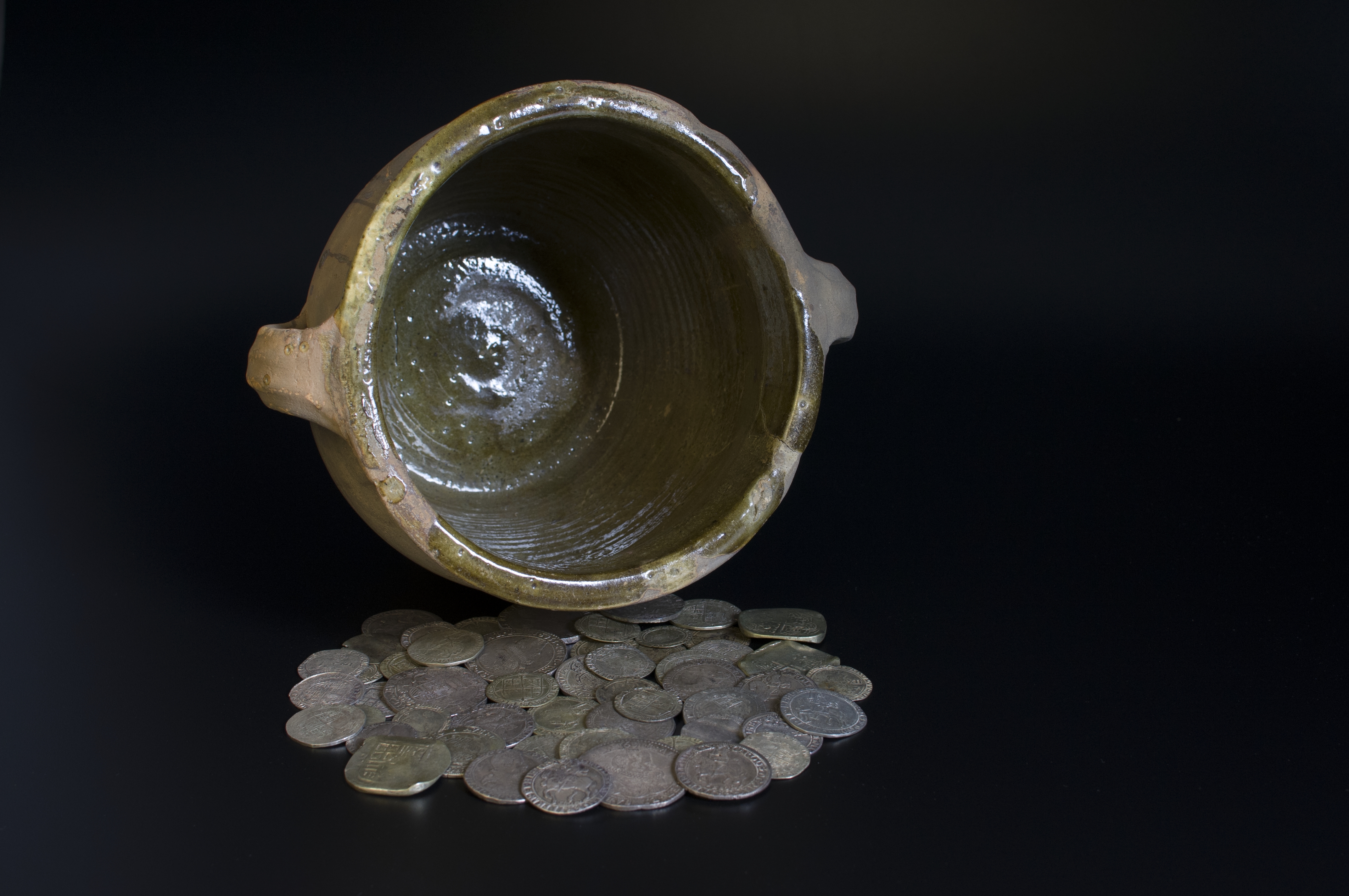
Middleham Hoard
The Middleham Hoard is a coin hoard found near Middleham, North Yorkshire in England. It dates from the period of the English Civil War, and consists of...

Forbidden Corner
The Forbidden Corner is a folly garden located in the Tupgill Park Estate, at Coverham in Coverdale, in the Yorkshire Dales National Park, England. It...
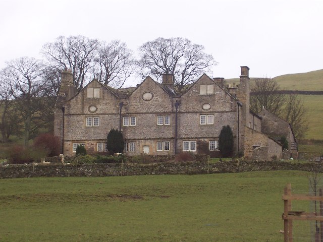
Braithwaite Hall
Braithwaite Hall is a 17th-century manor house in Coverdale in the Yorkshire Dales in England. It lies 1.8 miles (2.9 km) west of the village of East...

Caldbergh with East Scrafton
Caldbergh with East Scrafton is a civil parish in the Richmondshire district of North Yorkshire, England. The parish includes the settlements of Caldbergh...

Caldbergh
Caldbergh (Caldeber in the Domesday Book) is a hamlet within the Yorkshire Dales, North Yorkshire, England. It lies about four miles south of Leyburn....
Nearby Amenities
Located within 500m of 54.27186,-1.841725Have you been to Coverham?
Leave your review of Coverham below (or comments, questions and feedback).