Cotescue Woods
Wood, Forest in Yorkshire Richmondshire
England
Cotescue Woods

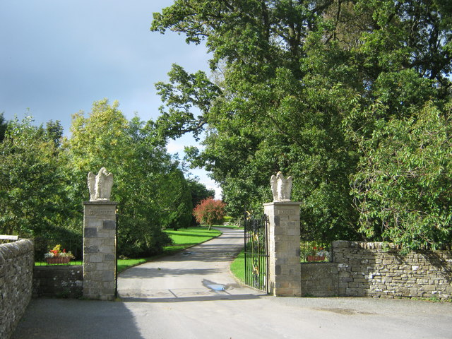
Cotescue Woods, located in the county of Yorkshire, England, is a picturesque woodland area that spans over 3,000 acres. Situated in the heart of the North York Moors National Park, this ancient forest is renowned for its natural beauty and diverse wildlife.
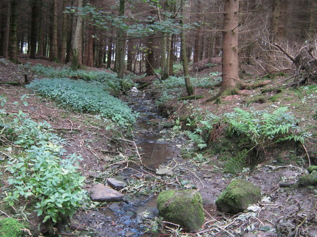
The woodland consists primarily of beech and oak trees, which create a dense canopy, providing a haven for numerous species of birds, mammals, and insects. The forest floor is adorned with a carpet of bluebells during the spring months, creating a stunning display of vibrant color.
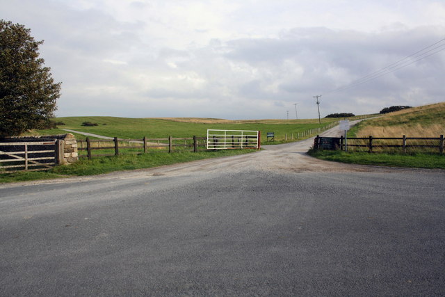
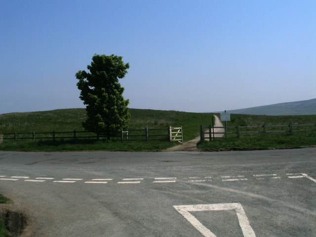
Cotescue Woods offers a variety of walking trails and paths, enabling visitors to explore its enchanting surroundings. The popular Cleveland Way National Trail runs through the woods, providing hikers with breathtaking views of the surrounding countryside. Additionally, there are several designated picnic areas, allowing visitors to relax and take in the peaceful ambiance of the forest.
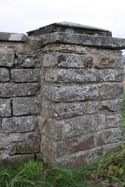
The woods have a rich history that dates back centuries. Evidence of human activity, including ancient burial mounds and stone circles, can be found within the woodland. Moreover, the area is steeped in folklore and legends, adding an air of mystery to the forest.
Cotescue Woods is not only a paradise for nature enthusiasts but also a place of tranquility and solace for those seeking a break from the hustle and bustle of everyday life. With its stunning scenery, diverse wildlife, and rich history, this woodland gem in Yorkshire is a must-visit destination for anyone with an appreciation for the natural world.
If you have any feedback on the listing, please let us know in the comments section below.
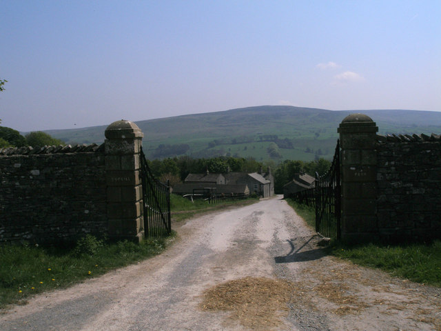
Cotescue Woods Images
Images are sourced within 2km of 54.278457/-1.8409196 or Grid Reference SE1086. Thanks to Geograph Open Source API. All images are credited.


Cotescue Woods is located at Grid Ref: SE1086 (Lat: 54.278457, Lng: -1.8409196)
Division: North Riding
Administrative County: North Yorkshire
District: Richmondshire
Police Authority: North Yorkshire
What 3 Words
///replenish.indicates.stars. Near Leyburn, North Yorkshire
Nearby Locations
Related Wikis
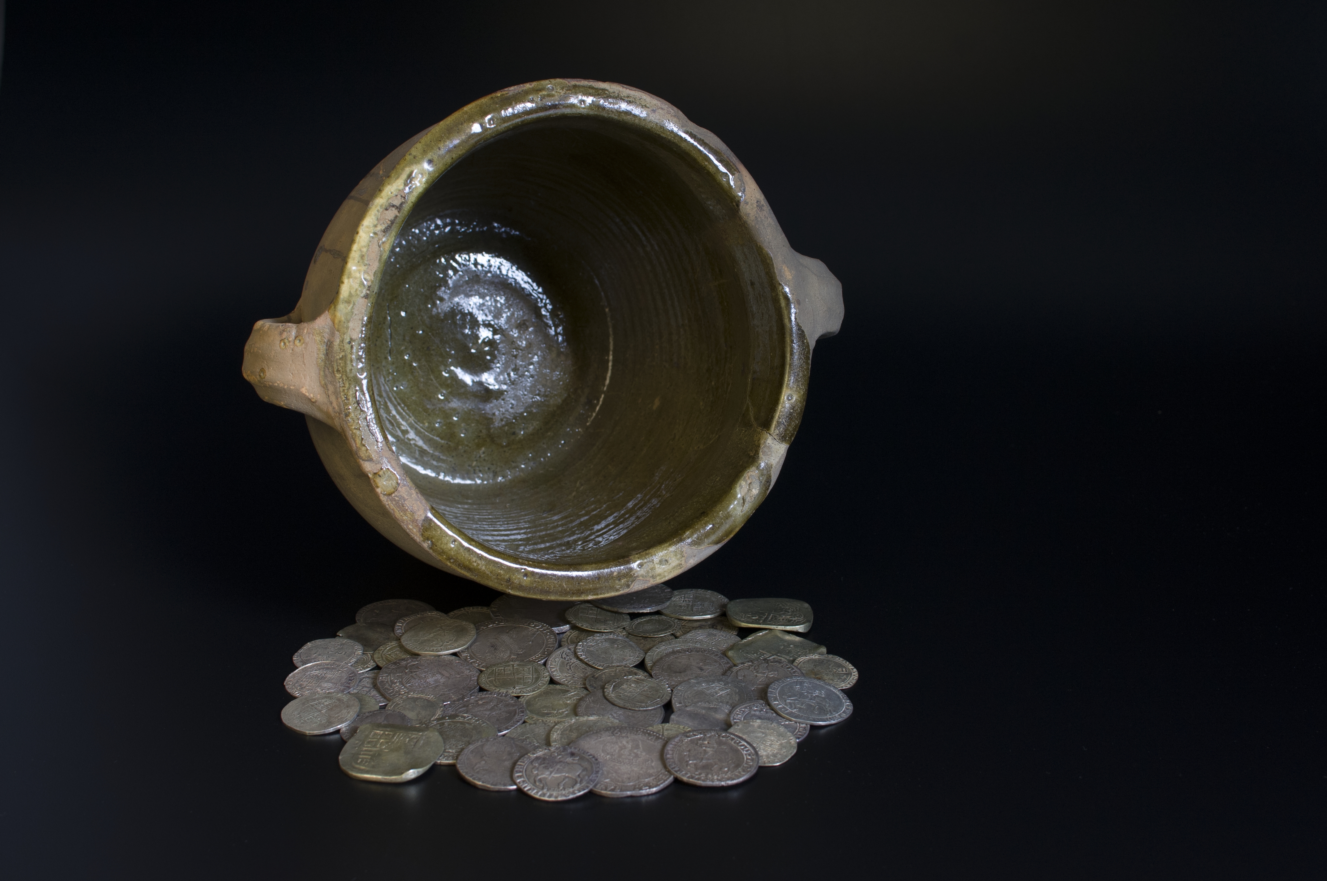
Middleham Hoard
The Middleham Hoard is a coin hoard found near Middleham, North Yorkshire in England. It dates from the period of the English Civil War, and consists of...

Coverham Abbey
Coverham Abbey, North Yorkshire, England, was a Premonstratensian monastery that was founded at Swainby in 1190 by Helewisia, daughter of the Chief Justiciar...

Holy Trinity Church, Coverham
Holy Trinity Church is a redundant Anglican church in the village of Coverham, North Yorkshire, England. It is recorded in the National Heritage List...
Coverham
Coverham is a village in Coverdale in the Yorkshire Dales in North Yorkshire, England. It lies 2 miles (3.2 km) west of the town of Middleham. == History... ==

Forbidden Corner
The Forbidden Corner is a folly garden located in the Tupgill Park Estate, at Coverham in Coverdale, in the Yorkshire Dales National Park, England. It...
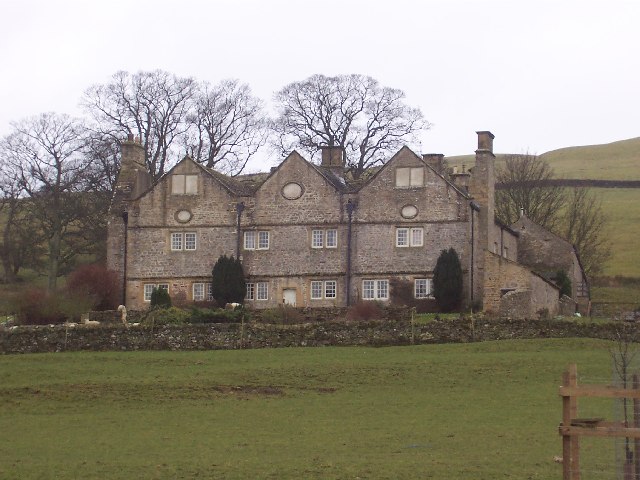
Braithwaite Hall
Braithwaite Hall is a 17th-century manor house in Coverdale in the Yorkshire Dales in England. It lies 1.8 miles (2.9 km) west of the village of East...

Agglethorpe
Agglethorpe is a hamlet in the Richmondshire district of North Yorkshire, England, it lies in northern Coverdale, approximately 4 miles (6.4 km) south...

Coverham with Agglethorpe
Coverham with Agglethorpe is a civil parish in North Yorkshire, England. It includes the villages of Coverham and Agglethorpe. The population of the civil...
Nearby Amenities
Located within 500m of 54.278457,-1.8409196Have you been to Cotescue Woods?
Leave your review of Cotescue Woods below (or comments, questions and feedback).