Coverack Bridges

Settlement in Cornwall

England

Coverack Bridges

Helston : Helston Heritage Railway - Truthall Halt A latecomer to the passenger facilities on the Helston branch, Truthall Halt was opened on 3 July 1905, at a location about one and three-quarters miles (2.8 km) north of Helston.
Helston : Helston Heritage Railway - Truthall Halt Credit: Lewis Clarke

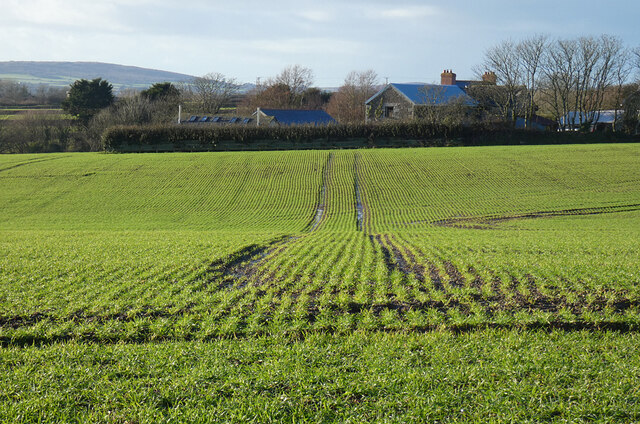
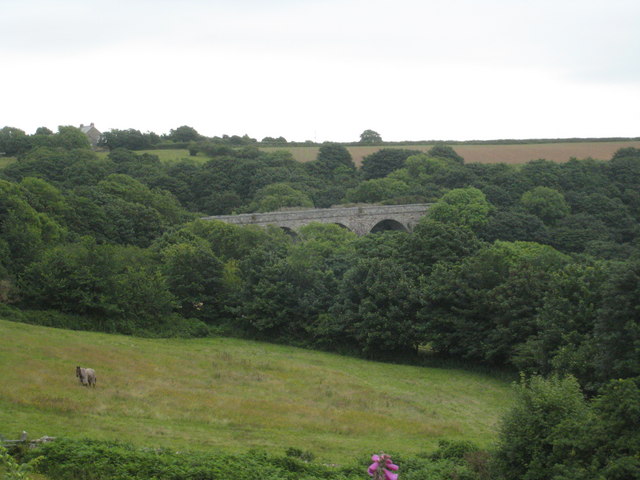
Coverack Bridges is a small hamlet located in the county of Cornwall, England. Situated approximately 4 miles south of the town of Helston, it lies within the civil parish of St Keverne. The hamlet takes its name from two stone bridges that span the river that flows through the area.

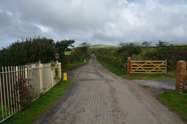
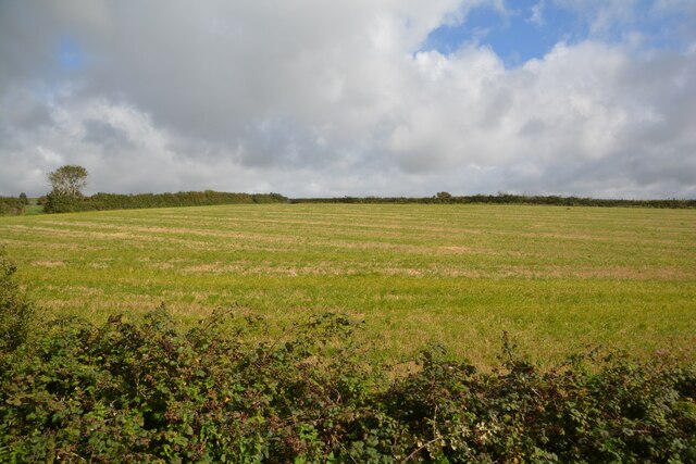
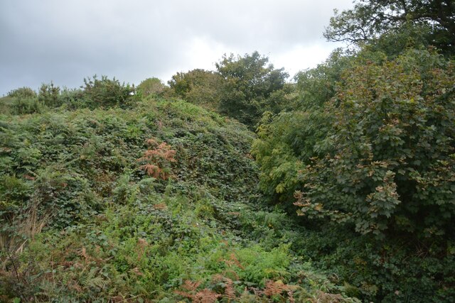
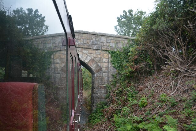
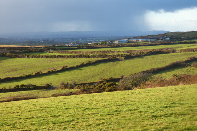
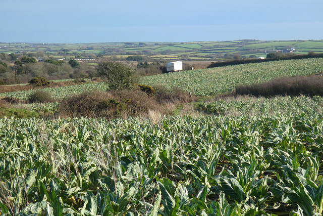
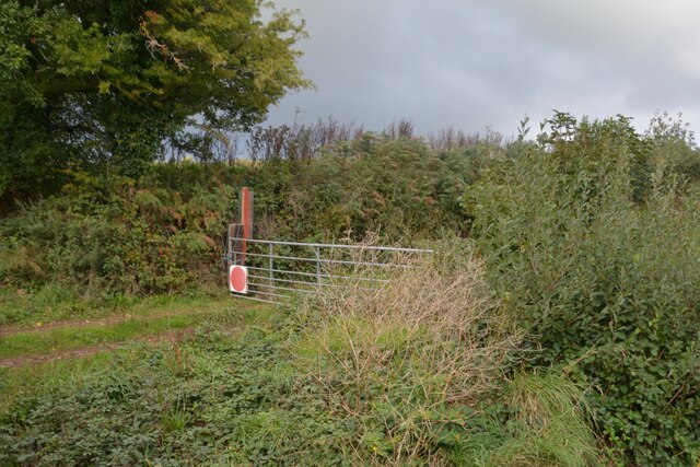
Coverack Bridges is a picturesque and tranquil location, surrounded by beautiful countryside and rolling hills. The bridges themselves are historic structures, dating back several centuries. They are constructed using local stone and feature arches that provide passage for both pedestrians and vehicles. The bridges not only serve as a practical means of crossing the river but also add charm and character to the landscape.

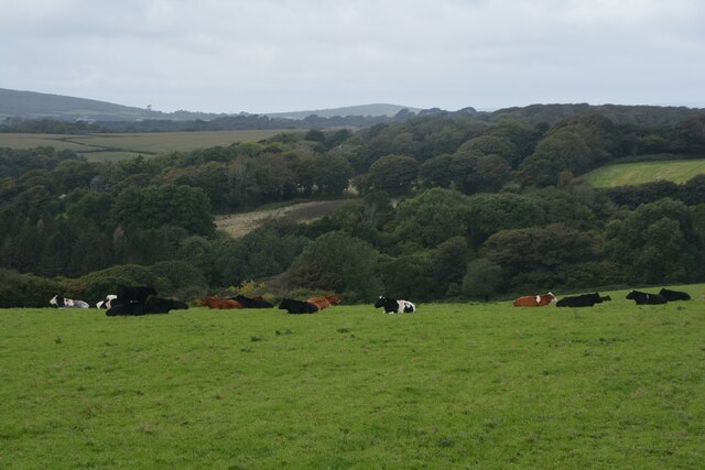
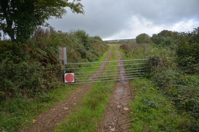
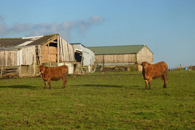
The hamlet itself is made up of a handful of houses and cottages, with some dating back to the 18th century. The area is predominantly rural, with many residents engaged in agriculture or other countryside-related occupations. The village of Coverack, renowned for its scenic coastal views and vibrant fishing community, is located just a short distance away.

Coverack Bridges offers a peaceful and idyllic setting for both residents and visitors alike. With its charming bridges and surrounding natural beauty, it attracts those seeking a quiet escape from the hustle and bustle of city life. Whether enjoying a leisurely walk along the riverbank or simply taking in the tranquility of the countryside, Coverack Bridges offers a delightful experience in the heart of Cornwall.

If you have any feedback on the listing, please let us know in the comments section below.

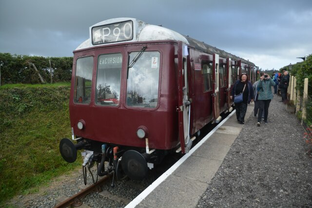
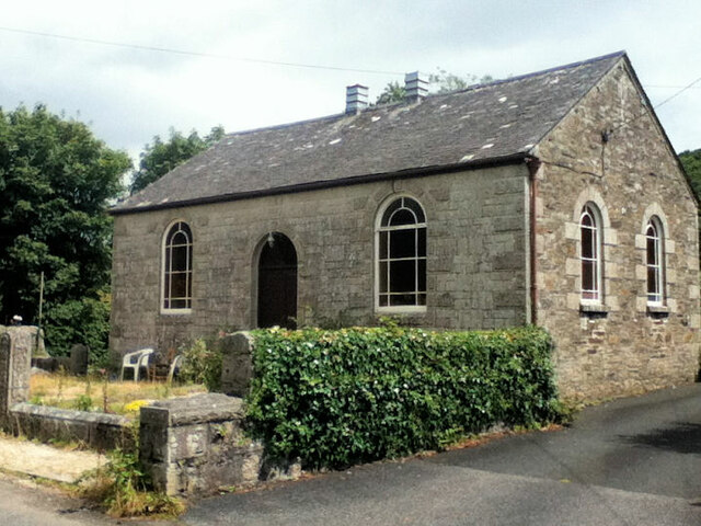
Coverack Bridges Images

Images are sourced within 2km of 50.126054/-5.264267 or Grid Reference SW6630. Thanks to Geograph Open Source API. All images are credited.

Helston : Helston Heritage Railway - Truthall Halt A latecomer to the passenger facilities on the Helston branch, Truthall Halt was opened on 3 July 1905, at a location about one and three-quarters miles (2.8 km) north of Helston.
Helston : Helston Heritage Railway - Truthall Halt
A latecomer to the passenger facilities on the Helston branch, Truthall Halt was opened on 3 July 1905, at a location about one and three-quarters miles (2.8 km) north of Helston.
Farmland, Wendron Roselidden Farm is seen across an arable field from Rowe's Lane.
Farmland, Wendron
Roselidden Farm is seen across an arable field from Rowe's Lane.
Sithney : Road Looking along a road.
Sithney : Road
Looking along a road.
Sithney : Helston Scenery Looking towards the town of Helston.
Sithney : Helston Scenery
Looking towards the town of Helston.
Sithney : Grassy Field & Cattle Cows in a field.
Sithney : Grassy Field & Cattle
Cows in a field.
Sithney : Truthall Halt A latecomer to the passenger facilities on the Helston branch, Truthall Halt was opened on 3 July 1905, at a location about one and three-quarters miles (2.8 km) north of Helston.
Sithney : Truthall Halt
A latecomer to the passenger facilities on the Helston branch, Truthall Halt was opened on 3 July 1905, at a location about one and three-quarters miles (2.8 km) north of Helston.
Sithney : Truthall Halt Truthall Halt was opened by the Great Western Railway in July 1905 after the line had been opened for a number of years.

Truthall Halt opened as such but changed its name to Truthall Platform in July 1906 and closed with this name on 5 November 1962. The station has held three different names – Truthall Platform, Truthall Halt and Truthall Bridge Halt – although the last one was only referred to in ticketing
Sithney : Truthall Halt
Truthall Halt was opened by the Great Western Railway in July 1905 after the line had been opened for a number of years. Truthall Halt opened as such but changed its name to Truthall Platform in July 1906 and closed with this name on 5 November 1962. The station has held three different names – Truthall Platform, Truthall Halt and Truthall Bridge Halt – although the last one was only referred to in ticketing
Sithney : Grassy Field Looking out towards a field.
Sithney : Grassy Field
Looking out towards a field.
Old Methodist Church
Free church
Free church
Old Milestone by the A394, west of Trelill Farm Carved stone post by the A394, in parish of Gweek (Kerrier District), Trelill, East of Rowe's Lane junction, in bank on narrow road section, on South-east side of road. Helston facets, erected by the Helston Turnpike Trust in the 19th century. Damaged.

Inscription reads:-
 HELSTO(N) / 1 / PENZANC(E) / 14 : : (FA)LMOUTH / 11 / TRURO / 15¾  
Carved benchmark on lower front face.

Grade II listed.
List Entry Number: 1396483 

Milestone Society National ID: CW_PZTO14
Old Milestone by the A394, west of Trelill Farm
Carved stone post by the A394, in parish of Gweek (Kerrier District), Trelill, East of Rowe's Lane junction, in bank on narrow road section, on South-east side of road. Helston facets, erected by the Helston Turnpike Trust in the 19th century. Damaged. Inscription reads:- HELSTO(N) / 1 / PENZANC(E) / 14 : : (FA)LMOUTH / 11 / TRURO / 15¾ Carved benchmark on lower front face. Grade II listed. List Entry Number: 1396483 Milestone Society National ID: CW_PZTO14
Crowntown : Track A track seen beyond the gate.
Crowntown : Track
A track seen beyond the gate.
Crowntown : Bushes Bushes seen from the Helston Heritage Railway.
Crowntown : Bushes
Bushes seen from the Helston Heritage Railway.
Crowntown : Helston Heritage Railway On the train heading under the bridge.
Crowntown : Helston Heritage Railway
On the train heading under the bridge.
Pasture and farm buildings, Sithney Cattle in a field to the south of Wheal Mount Farm.
Pasture and farm buildings, Sithney
Cattle in a field to the south of Wheal Mount Farm.
Pasture, Sithney High Park Farm is seen in the middle distance with a showery skyline and the higher ground near St Ives beyond.
Pasture, Sithney
High Park Farm is seen in the middle distance with a showery skyline and the higher ground near St Ives beyond.
Farmland, Sithney The cauliflowers here look like they are approaching being large enough for harvesting. One of the grower's wagons is seen ahead. It belongs to a Lincolnshire-based company that also operates down here.
Farmland, Sithney
The cauliflowers here look like they are approaching being large enough for harvesting. One of the grower's wagons is seen ahead. It belongs to a Lincolnshire-based company that also operates down here.
Sithney : Track Alongside the railway is a small track.
Sithney : Track
Alongside the railway is a small track.
Show me another place!

Coverack Bridges is located at Grid Ref: SW6630 (Lat: 50.126054, Lng: -5.264267)

Unitary Authority: Cornwall

Police Authority: Devon and Cornwall

What 3 Words

///milky.butlers.pythons. Near Wendron, Cornwall

Related Wikis

Coverack Bridges

Coverack Bridges (Cornish: Ponskovrek) is a hamlet in southwest Cornwall, England. It is situated southwest of Wendron in the valley of the River Cober...

Boscadjack

Boscadjack is an area of high ground in west Cornwall, England, United Kingdom, which gives its name to two farming settlements. The area lies to the west...

Boderwennack

Boderwennack is a settlement, and its surrounding area in south Cornwall, England, United Kingdom. It is situated in the civil parish of Wendron half-a...

Lowertown-by-Helston

Lowertown-by-Helston is a large hamlet in Sithney civil parish, bordering Wendron parish, in Cornwall, United Kingdom. The hamlet is one mile north of...

Nearby Amenities

Located within 500m of 50.126054,-5.264267
Post Box
Brand: Royal Mail
Brand Wikidata: Q638098
Collection Times: Mo-Fr 09:00; Sa 07:00; Su off
Drive Through: no
Operator: Royal Mail
Operator Wikidata: Q638098
Post Box Design: type_c
Post Box Mounting: wall
Post Box Type: wall
Ref: TR13 34D
Royal Cypher: VR
Royal Cypher Wikidata: Q33102356
Source: survey;streetlevel imagery;aerial imagery
Lat/Long: 50.1254606/-5.2608661
Telephone
Defibrillator
Booth: K6
Covered: booth
Defibrillator Location: inside old red phone box in Coverack Bridges
Emergency: defibrillator
Man Made: telephone_box
Lat/Long: 50.1252498/-5.2641116
Coverack Bridges
Place: hamlet
Wikidata: Q5179213
Wikipedia: en:Coverack Bridges
Lat/Long: 50.1260096/-5.2648926
The data included in this document is from www.openstreetmap.org. The data is made available under ODbL.

Have you been to Coverack Bridges?

Leave your review of Coverack Bridges below (or comments, questions and feedback).