Crab Wood

Wood, Forest in Shropshire

England

Crab Wood

North Staffs Hunt Boxing Day meet at Woore
North Staffs Hunt Boxing Day meet at Woore Credit: Jonathan Hutchins

Crab Wood, located in the county of Shropshire, England, is a picturesque forest that spans approximately 5 square kilometers. Nestled in the heart of the West Midlands region, this woodland is a popular destination for nature enthusiasts and hikers alike.

The wood is predominantly composed of a mix of deciduous and coniferous trees, including oak, beech, pine, and birch. These trees create a diverse and vibrant ecosystem, providing a habitat for a variety of wildlife species. Squirrels, badgers, deer, and various bird species can often be spotted within the wood.

Tranquil walking trails wind through the forest, offering visitors the opportunity to immerse themselves in the serene natural surroundings. The paths are well-maintained, making them accessible to both seasoned hikers and families with young children. The wood is also home to a few secluded picnic spots, allowing visitors to relax and enjoy a meal amidst the stunning backdrop of nature.

Crab Wood boasts an interesting history, with evidence of human activity dating back centuries. Archaeological discoveries in the area suggest that it was once inhabited during the Iron Age, providing a glimpse into the region's ancient past.

Overall, Crab Wood in Shropshire is a remarkable natural treasure. Its enchanting beauty, rich biodiversity, and historical significance make it a must-visit destination for anyone seeking to connect with nature and explore the wonders of the British countryside.

If you have any feedback on the listing, please let us know in the comments section below.
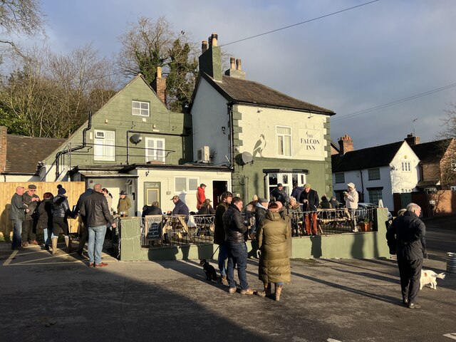
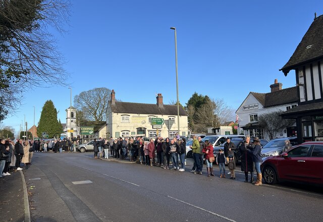
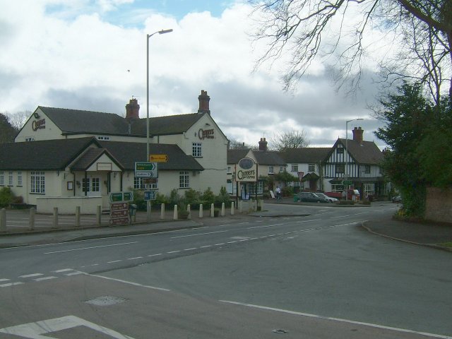
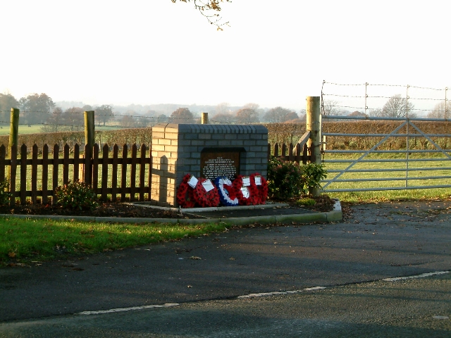
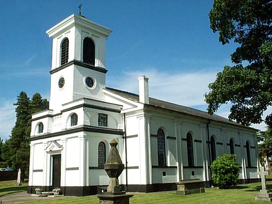
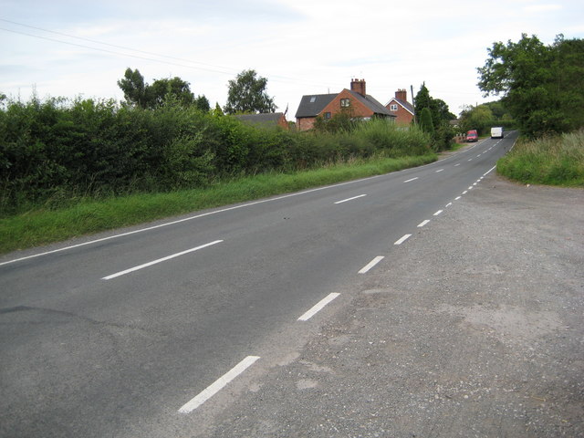
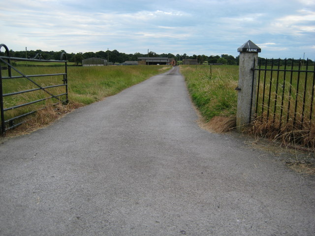
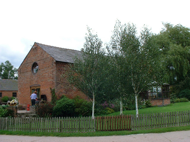
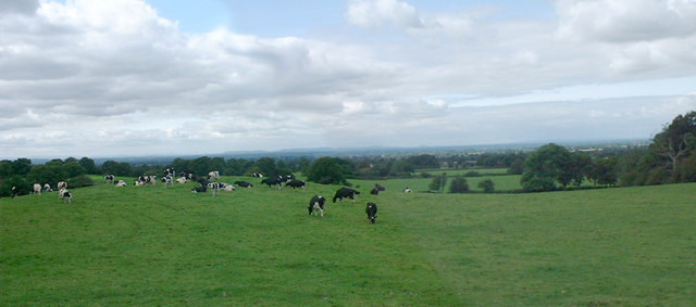
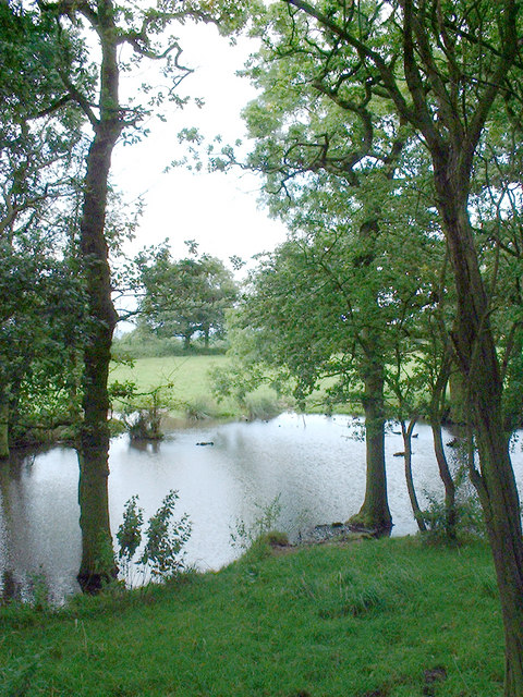
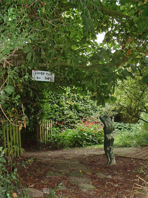
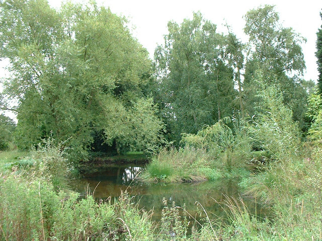
Crab Wood Images

Images are sourced within 2km of 52.980174/-2.4195711 or Grid Reference SJ7142. Thanks to Geograph Open Source API. All images are credited.

North Staffs Hunt Boxing Day meet at Woore
Woore Crossroads The crossroads through the village centre.
Woore Crossroads
The crossroads through the village centre.
Memorial to the Airmen who died when their plane disintegrated on the 28th October 1944
Bridgemere - valley of Forge Brook Bridgemere: view down valley of Forge Brook. Typical of the many small streams that cut wooded valleys through the undulating countryside on the borders of Cheshire, Shropshire and Staffordshire.
Bridgemere - valley of Forge Brook
Bridgemere: view down valley of Forge Brook. Typical of the many small streams that cut wooded valleys through the undulating countryside on the borders of Cheshire, Shropshire and Staffordshire.
Bridgemere Garden World The largest garden centre in the area, Bridgemere occupies an extensive site just east of the A51 and is always busy at the weekend, even in the winter rain. This view shows the main building and restaurant
Bridgemere Garden World
The largest garden centre in the area, Bridgemere occupies an extensive site just east of the A51 and is always busy at the weekend, even in the winter rain. This view shows the main building and restaurant
Winter colour at Bridgemere Garden World Bridgemere Garden World is the largest garden centre in the area. This view shows the coffee bar and some of the greenhouses on a rainy winter afternoon
Winter colour at Bridgemere Garden World
Bridgemere Garden World is the largest garden centre in the area. This view shows the coffee bar and some of the greenhouses on a rainy winter afternoon
Bridgemere Garden World Bridgemere Garden World is the largest garden centre in the area. This view shows the main exit and tills on a rainy winter afternoon. The A51 runs just beyond the line of trees
Bridgemere Garden World
Bridgemere Garden World is the largest garden centre in the area. This view shows the main exit and tills on a rainy winter afternoon. The A51 runs just beyond the line of trees
St Leonard's Church, Woore St. Leonard's church was constructed in 1832 and is of an unconventional white plaster design
St Leonard's Church, Woore
St. Leonard's church was constructed in 1832 and is of an unconventional white plaster design
Enter West Entering Woore from the West on the A525 (from Audlem)
Enter West
Entering Woore from the West on the A525 (from Audlem)
Rural homes alongside the A525 Looking East towards Woore
Rural homes alongside the A525
Looking East towards Woore
Fields Farm drive Farm drive seen from the main road
Fields Farm drive
Farm drive seen from the main road
Dorrington Hall Farm Farmers wife cooking barbecue
Dorrington Hall Farm
Farmers wife cooking barbecue
Cheshire landscape View over Cheshire but taken in Shropshire (just) Welsh hills in distance.
Cheshire landscape
View over Cheshire but taken in Shropshire (just) Welsh hills in distance.
Pond Pond in wood
Pond
Pond in wood
Ring the bell Garden of Dorrington Hall
Ring the bell
Garden of Dorrington Hall
Pond in garden Garden pond at Admirals Gorse
Pond in garden
Garden pond at Admirals Gorse
Wheel Green Farm
Wheel Green Farm
Show me another place!

Crab Wood is located at Grid Ref: SJ7142 (Lat: 52.980174, Lng: -2.4195711)

Unitary Authority: Shropshire

Police Authority: West Mercia

What 3 Words

///learning.oval.tradition. Near Audlem, Cheshire

Related Wikis

Dorrington Lane

Dorrington Lane is a hamlet near the village of Woore in northeast Shropshire, England. There are around 12 former council houses and two larger houses...

Woore

Woore is a village and civil parish in the north east of Shropshire, England, of about 3,950 acres (1,600 hectares). It had a population of 1,004 in the...

Ireland's Cross

Ireland's Cross is a small hamlet in the civil parish of Woore in Shropshire, England. == References ==

Pipe Gate railway station

Pipe Gate was a railway station on the North Staffordshire Railway's Stoke to Market Drayton Line. == Construction == Construction was started on the Newcastle...

Knighton, Newcastle-under-Lyme

Knighton is a hamlet in north west Staffordshire, England, located in the Borough of Newcastle-under-Lyme. It is surrounded to the west, north and east...

Bridgemere

Bridgemere is a village (at SJ717454) and former civil parish, now in the parish of Doddington and District, in the unitary authority area of Cheshire...

Bearstone

Bearstone is a hamlet in Shropshire, England. For population details as taken at the 2011 census see Woore (Shropshire).

Onneley

Onneley is a hamlet in the Borough of Newcastle-under-Lyme, Staffordshire.Situated within Onneley is the local Golf and Cricket club. Onneley Cricket club...

Nearby Amenities

Located within 500m of 52.980174,-2.4195711
Gorsey Bank
Place: locality
Source: OS_OpenData_StreetView
Lat/Long: 52.9812685/-2.4234577
The data included in this document is from www.openstreetmap.org. The data is made available under ODbL.

Have you been to Crab Wood?

Leave your review of Crab Wood below (or comments, questions and feedback).