Factory Coppice
Wood, Forest in Shropshire
England
Factory Coppice
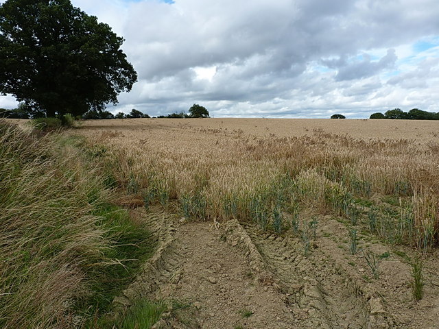
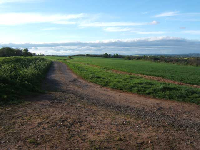
Factory Coppice is a picturesque woodland area located in Shropshire, England. Spread across several acres, it is situated near the village of Stiperstones and is known for its dense forests and diverse wildlife. The coppice is nestled within the larger Stiperstones National Nature Reserve, making it an important part of the region's natural heritage.
The woodland is primarily composed of native broadleaf trees such as oak, beech, and birch, creating a rich and vibrant ecosystem. The thick canopy provides a haven for numerous bird species, including woodpeckers, buzzards, and tawny owls. Additionally, the forest floor is teeming with a variety of wildflowers and ferns, adding to the area's natural beauty.
Factory Coppice has a long history of woodland management, with evidence of coppicing dating back several centuries. Coppicing is a traditional method of woodland management where trees are cut down to ground level, allowing new shoots to grow and ensuring a continuous supply of timber. This practice has not only sustained the coppice but also created a diverse habitat for wildlife.
Visitors to Factory Coppice can enjoy a range of activities, including hiking, birdwatching, and nature photography. The area is crisscrossed with well-maintained footpaths, allowing visitors to explore the woodland and experience its tranquil atmosphere. Additionally, the coppice is part of the wider Stiperstones Nature Reserve, offering further opportunities for outdoor recreation and exploration.
In conclusion, Factory Coppice is a stunning woodland area in Shropshire, known for its diverse ecosystem, rich history of woodland management, and recreational opportunities. A visit to this enchanting forest provides a chance to connect with nature and experience the beauty of the English countryside.
If you have any feedback on the listing, please let us know in the comments section below.
Factory Coppice Images
Images are sourced within 2km of 52.505538/-2.4150491 or Grid Reference SO7189. Thanks to Geograph Open Source API. All images are credited.


Factory Coppice is located at Grid Ref: SO7189 (Lat: 52.505538, Lng: -2.4150491)
Unitary Authority: Shropshire
Police Authority: West Mercia
What 3 Words
///thinkers.slippery.refills. Near Bridgnorth, Shropshire
Nearby Locations
Related Wikis

Astbury Hall
Astbury Hall is a stately home, with a 320-acre estate, at Chelmarsh, near Bridgnorth, in Shropshire, England. The building was destroyed by fire in 1889...

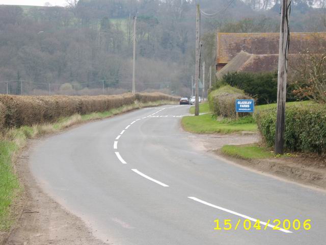
Eardington
Eardington is a small village and civil parish in Shropshire, England. It is near the A442 road and is two kilometres south of the town of Bridgnorth,...

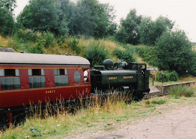
Eardington Halt railway station
Eardington Halt, originally named Eardington, is a railway station on the Severn Valley Railway near Eardington, south of Bridgnorth, in Shropshire....

Daniels Mill, Shropshire
Daniels Mill is a working water mill used for milling flour, located near Bridgnorth in the English county of Shropshire. The mill has the largest cast...

Chelmarsh
Chelmarsh is a village and civil parish in the English county of Shropshire. It lies 4 miles south of Bridgnorth on the B4555 road to Highley. == Notable... ==
St Peter's Church, Chelmarsh
St Peter's Church is in the village of Chelmarsh, Shropshire, England. It is an active Anglican parish church in the deanery of Bridgnorth, the archdeaconry...

Danesford
Danesford is a small settlement in Shropshire, England. It is on the A442 road and is to the southeast of the town of Bridgnorth. The population as of...

Quatford
Quatford is a village in the civil parish of Bridgnorth, in the Severn Valley, Shropshire, England. It is located on the A442, just south of the town of...
Nearby Amenities
Located within 500m of 52.505538,-2.4150491Have you been to Factory Coppice?
Leave your review of Factory Coppice below (or comments, questions and feedback).