Uplands Coppice
Wood, Forest in Shropshire
England
Uplands Coppice
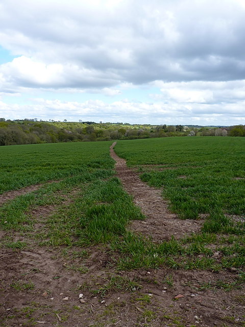
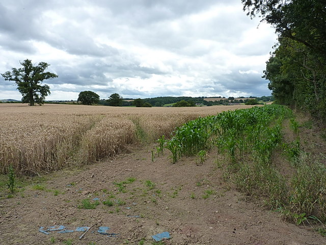
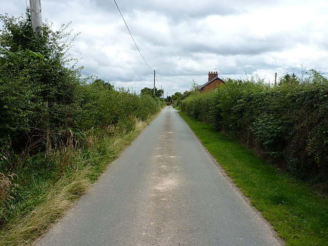
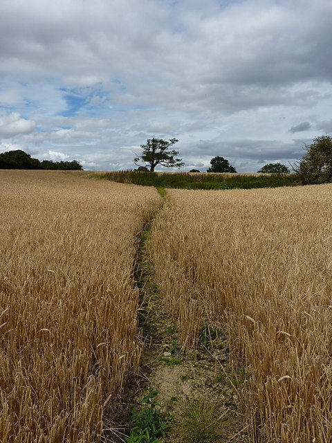
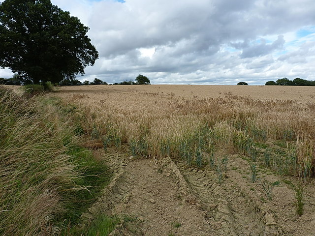
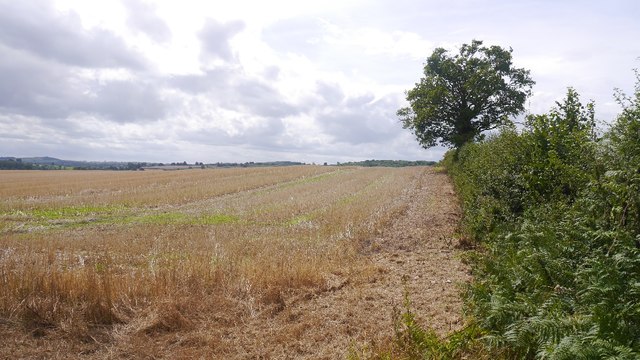
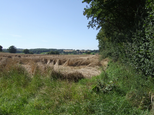
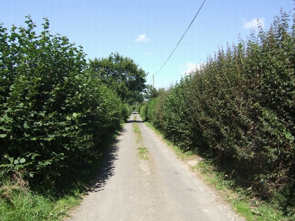
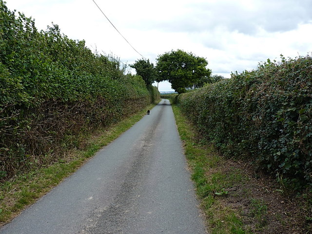
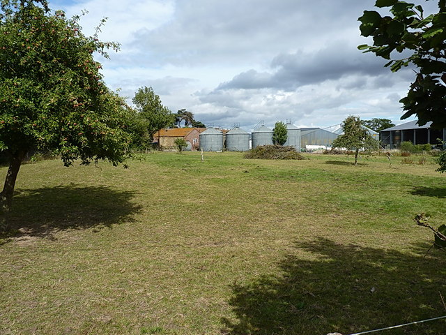
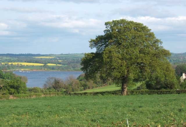
Uplands Coppice is a picturesque woodland located in the county of Shropshire, England. Nestled within the rolling hills and lush countryside, this woodland covers an area of approximately 50 acres. It is situated near the village of Uplands, hence its name.
The coppice is predominantly composed of native tree species such as oak, ash, beech, and birch. These trees create a dense canopy that provides shade and shelter for a diverse range of flora and fauna. The forest floor is adorned with a carpet of bluebells, foxgloves, and various wildflowers during the spring and summer months.
Uplands Coppice is renowned for its tranquil ambiance, making it a popular destination for nature enthusiasts, walkers, and birdwatchers. The woodland is home to a variety of bird species, including woodpeckers, thrushes, and warblers, which can be spotted and heard throughout the year. Additionally, the coppice attracts small mammals like hedgehogs, squirrels, and rabbits.
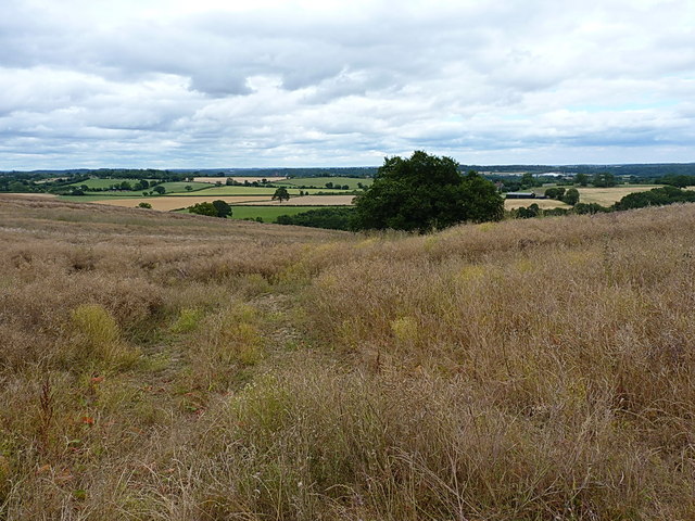
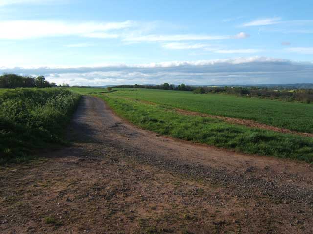
The woodland is intersected by several footpaths and trails, allowing visitors to explore its beauty and serenity. These paths lead to stunning viewpoints, providing panoramic vistas of the surrounding countryside. The local authorities have installed benches and picnic spots along the trails for visitors to relax and soak in the natural beauty.
Uplands Coppice is a protected area, managed by a local conservation organization. They actively engage in sustainable forestry practices, ensuring the long-term preservation of the woodland's biodiversity. Regular maintenance activities such as tree thinning and path clearance are carried out to maintain the health and accessibility of the coppice.
If you have any feedback on the listing, please let us know in the comments section below.
Uplands Coppice Images
Images are sourced within 2km of 52.505087/-2.4256818 or Grid Reference SO7189. Thanks to Geograph Open Source API. All images are credited.
Uplands Coppice is located at Grid Ref: SO7189 (Lat: 52.505087, Lng: -2.4256818)
Unitary Authority: Shropshire
Police Authority: West Mercia
What 3 Words
///bottom.nets.absorbing. Near Bridgnorth, Shropshire
Nearby Locations
Related Wikis

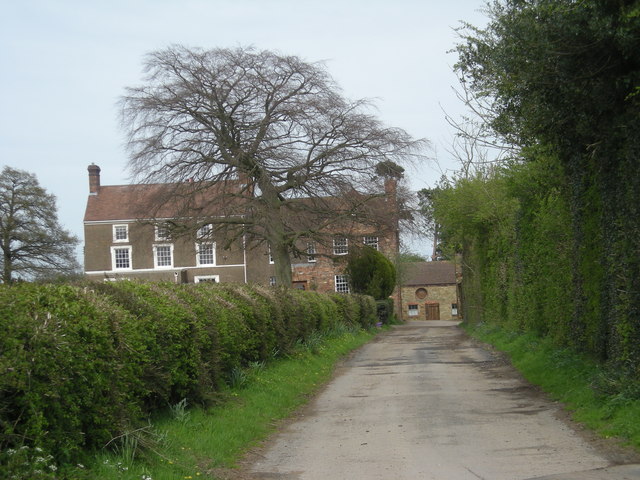
Astbury Hall
Astbury Hall is a stately home, with a 320-acre estate, at Chelmarsh, near Bridgnorth, in Shropshire, England. The building was destroyed by fire in 1889...

Eardington
Eardington is a small village and civil parish in Shropshire, England. It is near the A442 road and is two kilometres south of the town of Bridgnorth,...

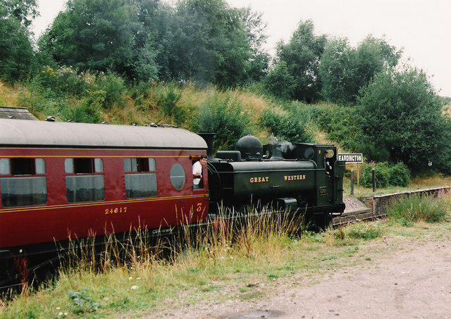
Eardington Halt railway station
Eardington Halt, originally named Eardington, is a railway station on the Severn Valley Railway near Eardington, south of Bridgnorth, in Shropshire....
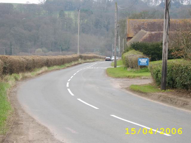
Glazeley
Glazeley is a hamlet and civil parish in Shropshire, England. It is situated on the B4363 road, southwest of Bridgnorth. There is a parish church in the...

Daniels Mill, Shropshire
Daniels Mill is a working water mill used for milling flour, located near Bridgnorth in the English county of Shropshire. The mill has the largest cast...

Chelmarsh
Chelmarsh is a village and civil parish in the English county of Shropshire. It lies 4 miles south of Bridgnorth on the B4555 road to Highley. == Notable... ==
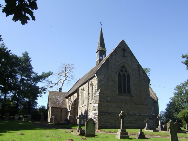
St Peter's Church, Chelmarsh
St Peter's Church is in the village of Chelmarsh, Shropshire, England. It is an active Anglican parish church in the deanery of Bridgnorth, the archdeaconry...

Oldbury, Shropshire
Oldbury is a small village and former civil parish, now in the parish of Bridgnorth, in the Shropshire district, in the ceremonial county of Shropshire...
Have you been to Uplands Coppice?
Leave your review of Uplands Coppice below (or comments, questions and feedback).