Newfoundwell Coppice

Wood, Forest in Shropshire

England

Newfoundwell Coppice

Bridleway across a field The right of way has been kept clear of wheat, but the ground was rock hard and very rutted. Isn't a full suspension mountain bike a wondrous thing?
Bridleway across a field Credit: Richard Law

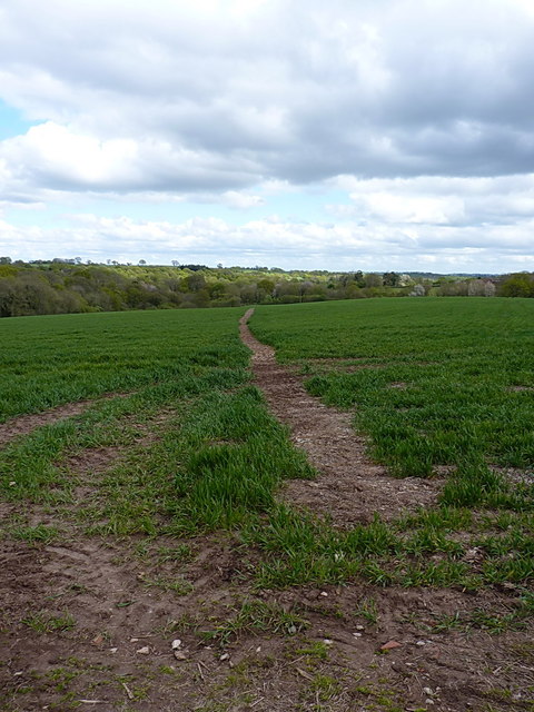
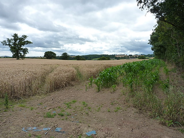
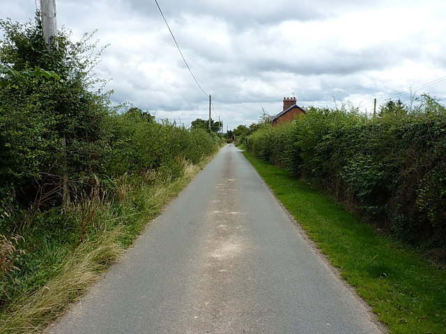
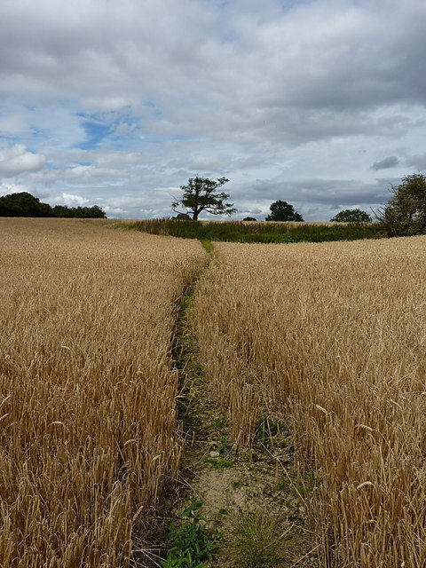
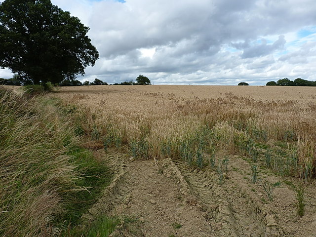
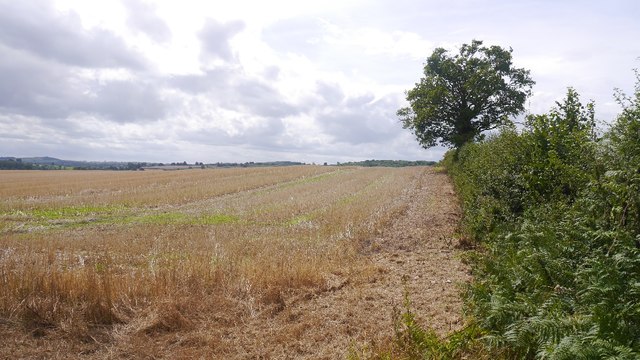
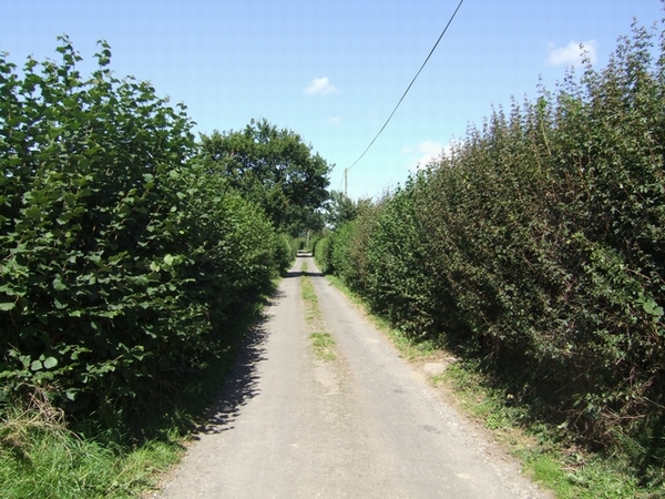
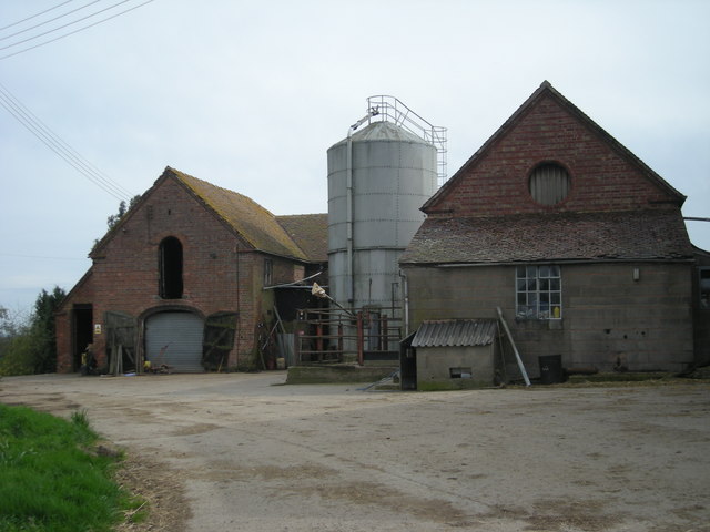
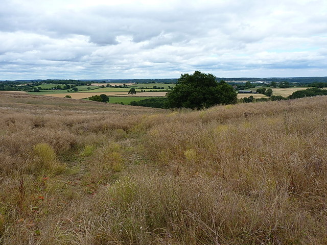
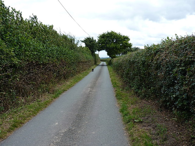
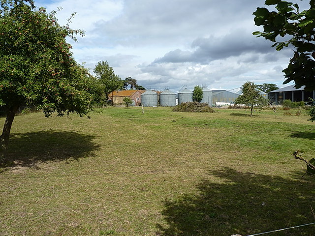
Newfoundwell Coppice is a picturesque woodland located in the county of Shropshire, England. Covering an area of approximately 50 acres, this ancient coppice is a haven for nature enthusiasts and offers a peaceful retreat from the hustle and bustle of urban life.

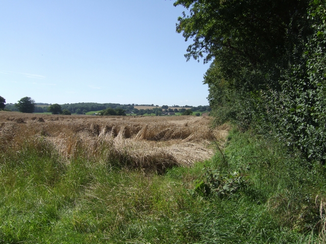
The woodland is dominated by a diverse mix of tree species, including oak, birch, ash, and hazel. These trees, some of which are several hundred years old, create a dense canopy that filters the sunlight and creates a cool and serene atmosphere within the coppice. The forest floor is covered with a lush carpet of wildflowers, ferns, and mosses, adding to the enchanting ambiance of the woodland.

Newfoundwell Coppice is also home to a variety of wildlife. Birdwatchers can spot a range of species, including woodpeckers, nuthatches, and tawny owls. Squirrels scurry through the trees, and if lucky, visitors may catch a glimpse of elusive deer or foxes that call this woodland their home.

The coppice has several well-maintained trails that wind their way through the forest, allowing visitors to explore its hidden treasures. These paths lead to a small pond, which attracts a myriad of aquatic creatures and provides a serene spot for contemplation.

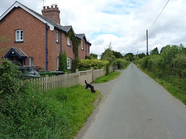
Newfoundwell Coppice is a popular destination for nature walks, picnics, and photography. Its natural beauty and tranquil atmosphere make it an ideal place for people of all ages to escape the stresses of everyday life and immerse themselves in the wonders of the natural world.

If you have any feedback on the listing, please let us know in the comments section below.

Newfoundwell Coppice Images

Images are sourced within 2km of 52.507009/-2.4285144 or Grid Reference SO7189. Thanks to Geograph Open Source API. All images are credited.

Bridleway across a field The right of way has been kept clear of wheat, but the ground was rock hard and very rutted. Isn't a full suspension mountain bike a wondrous thing?
Bridleway across a field
The right of way has been kept clear of wheat, but the ground was rock hard and very rutted. Isn't a full suspension mountain bike a wondrous thing?
Barley awaiting harvest In fields near Eudon Burnell Farm, the crop is just about ready to come in.
Barley awaiting harvest
In fields near Eudon Burnell Farm, the crop is just about ready to come in.
Towards Eudon Burnell farm Along the lane that joins the Ludlow road to the Cleobury Mortimer road.
Towards Eudon Burnell farm
Along the lane that joins the Ludlow road to the Cleobury Mortimer road.
Footpath in a field of wheat The path here leads from Eudon Burnell towards the point quite close to where <a href="https://www.geograph.org.uk/photo/2865169">SO7090 : B4363 at Marlbrook Bridge</a> was taken.
Footpath in a field of wheat
The path here leads from Eudon Burnell towards the point quite close to where SO7090 : B4363 at Marlbrook Bridge was taken.
South of Thatchers Wood A wheatfield in the countryside between The Down and Eardington.
South of Thatchers Wood
A wheatfield in the countryside between The Down and Eardington.
The lane at Eudon Burnell Rural cottages beside the lane near Eudon Burnell farm.
The lane at Eudon Burnell
Rural cottages beside the lane near Eudon Burnell farm.
Stubble, Eudon Burnell
Crops awaiting the combine The farmers were out in the fields today checking the grain.
Crops awaiting the combine
The farmers were out in the fields today checking the grain.
Jack Mytton Way The long distance bridleway uses this local road for a couple of miles.
Jack Mytton Way
The long distance bridleway uses this local road for a couple of miles.
Outbuildings at Eudon Burnell
The lane east of The Down A narrow country lane connecting the Ludlow Road at The Down with the Cleobury Mortimer road at <a href="https://www.geograph.org.uk/photo/2865159">SO7089 : B4363 at Spring Cottages</a>
The lane east of The Down
A narrow country lane connecting the Ludlow Road at The Down with the Cleobury Mortimer road at SO7089 : B4363 at Spring Cottages
Footpath across The Hill This path leads from the cottages on the lane near The Down, towards Westwood Farm. Judging by the faintness of it on the ground, it's little used.
Footpath across The Hill
This path leads from the cottages on the lane near The Down, towards Westwood Farm. Judging by the faintness of it on the ground, it's little used.
Steeply downhill towards Westwood Farm A rather badly overgrown path, hidden under the oilseed rape crop, which leads over the Mor Brook to Westwood Farm.
Steeply downhill towards Westwood Farm
A rather badly overgrown path, hidden under the oilseed rape crop, which leads over the Mor Brook to Westwood Farm.
Houses on The Hill A row of rather well-presented cottages (probably former farm cottages) on The Hill near The Down.
Houses on The Hill
A row of rather well-presented cottages (probably former farm cottages) on The Hill near The Down.
Near The Hills Farm Along the lane that connects the Ludlow road with the Cleobury Mortimer road.
Near The Hills Farm
Along the lane that connects the Ludlow road with the Cleobury Mortimer road.
The Hills Farm The old orchard, with a number of farm buildings and slurry tanks beyond.
The Hills Farm
The old orchard, with a number of farm buildings and slurry tanks beyond.
Stubble, The Hills Farm Southwest of Bridgnorth.
Stubble, The Hills Farm
Southwest of Bridgnorth.
House on 'The Hill',  Eudon Barnell Right on the crest of the hill overlooking 'The Down'.
House on 'The Hill', Eudon Barnell
Right on the crest of the hill overlooking 'The Down'.
Show me another place!

Newfoundwell Coppice is located at Grid Ref: SO7189 (Lat: 52.507009, Lng: -2.4285144)

Unitary Authority: Shropshire

Police Authority: West Mercia

What 3 Words

///unroll.saddens.hillside. Near Bridgnorth, Shropshire

Related Wikis

Eardington

Eardington is a small village and civil parish in Shropshire, England. It is near the A442 road and is two kilometres south of the town of Bridgnorth,...

Astbury Hall

Astbury Hall is a stately home, with a 320-acre estate, at Chelmarsh, near Bridgnorth, in Shropshire, England. The building was destroyed by fire in 1889...

Daniels Mill, Shropshire

Daniels Mill is a working water mill used for milling flour, located near Bridgnorth in the English county of Shropshire. The mill has the largest cast...

Glazeley

Glazeley is a hamlet and civil parish in Shropshire, England. It is situated on the B4363 road, southwest of Bridgnorth. There is a parish church in the...

Eardington Halt railway station

Eardington Halt, originally named Eardington, is a railway station on the Severn Valley Railway near Eardington, south of Bridgnorth, in Shropshire....

Oldbury, Shropshire

Oldbury is a small village and former civil parish, now in the parish of Bridgnorth, in the Shropshire district, in the ceremonial county of Shropshire...

Chelmarsh

Chelmarsh is a village and civil parish in the English county of Shropshire. It lies 4 miles south of Bridgnorth on the B4555 road to Highley. == Notable... ==

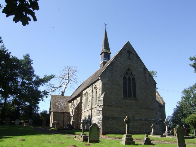
St Peter's Church, Chelmarsh

St Peter's Church is in the village of Chelmarsh, Shropshire, England. It is an active Anglican parish church in the deanery of Bridgnorth, the archdeaconry...

Have you been to Newfoundwell Coppice?

Leave your review of Newfoundwell Coppice below (or comments, questions and feedback).