Garlic Wood

Wood, Forest in Yorkshire South Lakeland

England

Garlic Wood

Milestone by Holme Cottage The milestone is of a design distinctive to this area, a circular column just marked  "S 5" (S standing for Sedbergh).  Listed grade II (list entry 1383912).
Milestone by Holme Cottage Credit: Stephen Craven

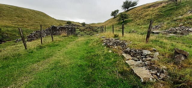
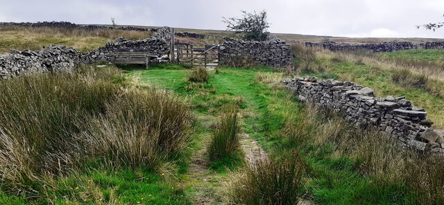
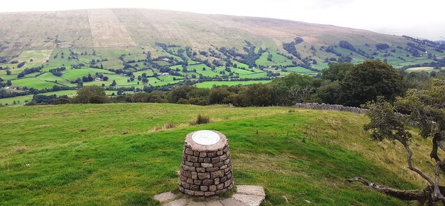
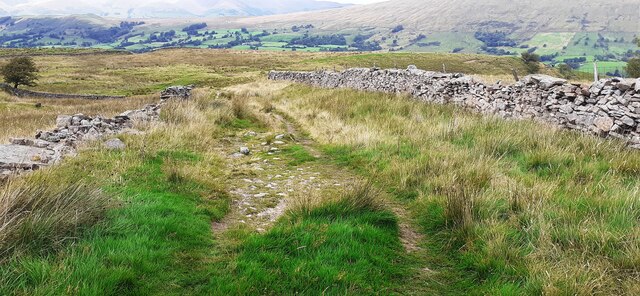
Garlic Wood, located in Yorkshire, England, is a picturesque and enchanting forest renowned for its natural beauty and historical significance. Spanning approximately 100 acres, this woodland is home to a diverse range of flora and fauna, making it a popular destination for nature enthusiasts and hikers alike.

The woodland gets its peculiar name from the abundant wild garlic that carpets the forest floor during the spring months, creating a fragrant and visually stunning spectacle. The pungent aroma of garlic permeates the air, adding to the unique charm of the area.

Visitors to Garlic Wood can explore its well-maintained trails, which wind through a mix of ancient oak, beech, and birch trees. The forest's dense canopy provides a sheltered habitat for various bird species, including woodpeckers, owls, and warblers, making it an ideal spot for birdwatching. Additionally, the wood is home to a range of mammals, such as deer, foxes, and squirrels.

Apart from its natural beauty, Garlic Wood holds historical significance. The site has evidence of human habitation dating back to the Neolithic period, with archaeological remains, including flint tools and pottery fragments, discovered in the vicinity. These findings suggest that the woodland played a vital role in the lives of early settlers.

Garlic Wood, with its captivating scenery, rich biodiversity, and historical connections, offers visitors a tranquil escape from the hustle and bustle of everyday life, inviting them to immerse themselves in the natural wonders of Yorkshire's countryside.

If you have any feedback on the listing, please let us know in the comments section below.
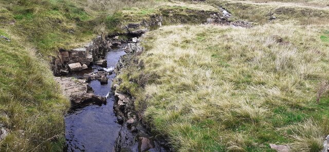
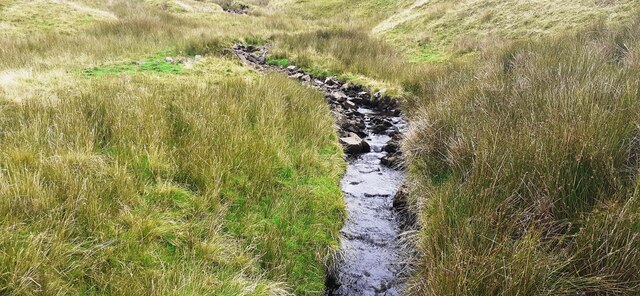
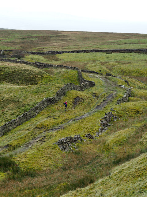
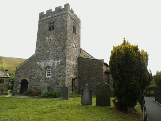
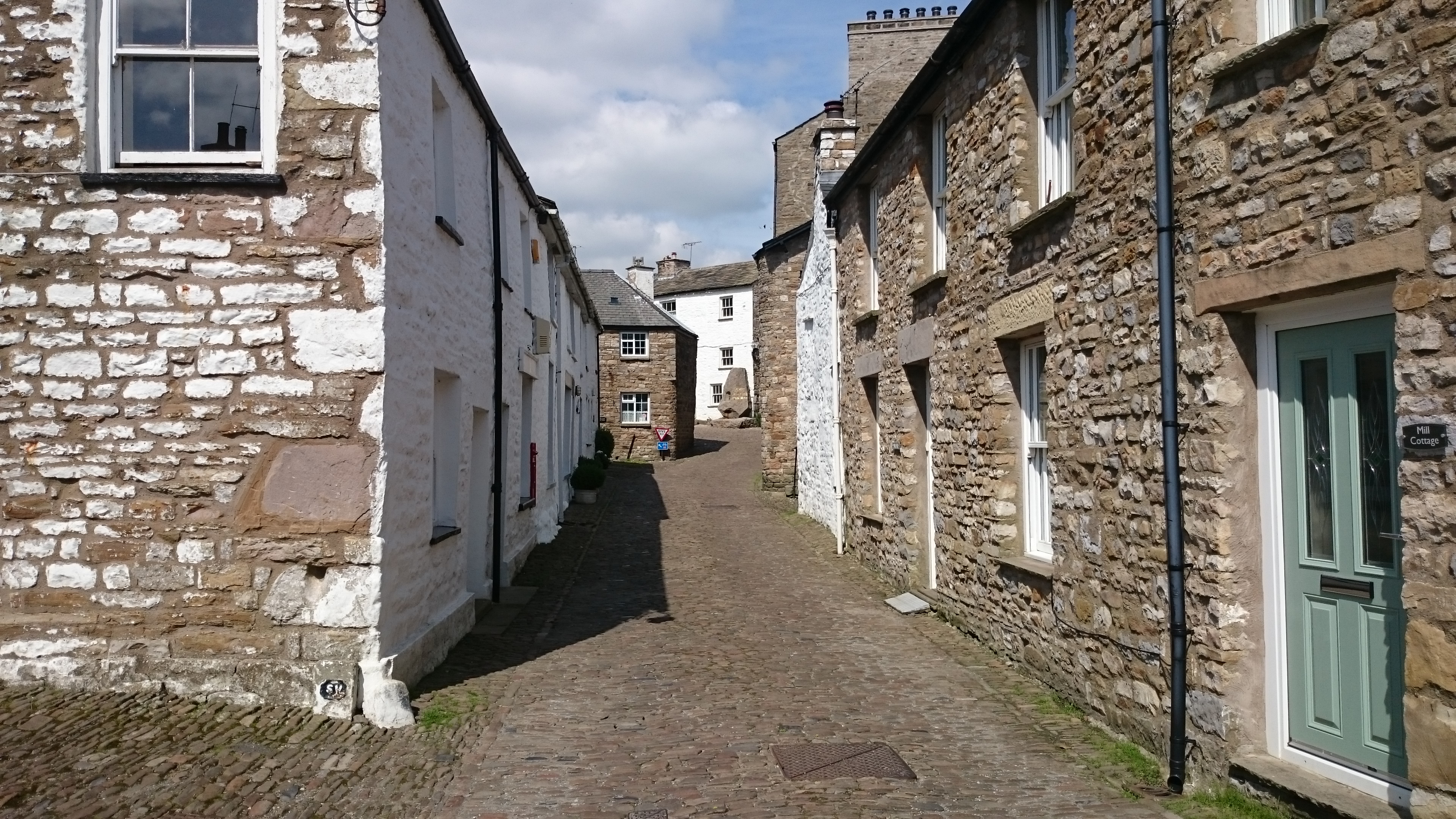
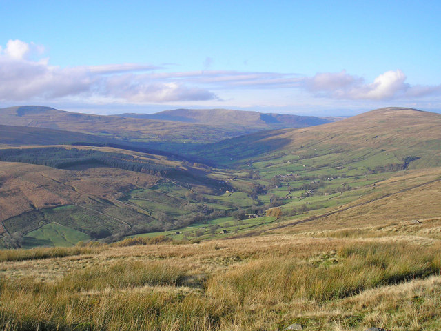
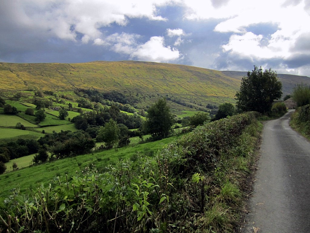
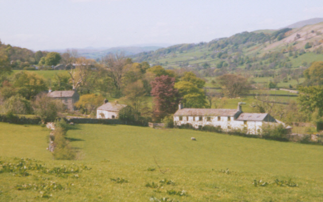
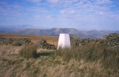
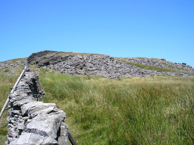
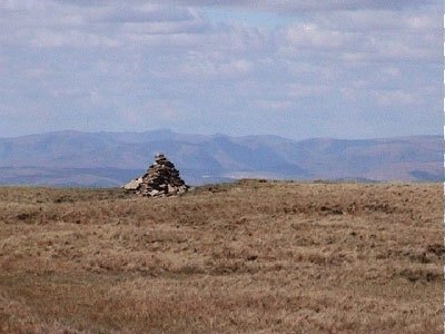
Garlic Wood Images

Images are sourced within 2km of 54.272927/-2.4435808 or Grid Reference SD7186. Thanks to Geograph Open Source API. All images are credited.

Milestone by Holme Cottage The milestone is of a design distinctive to this area, a circular column just marked  "S 5" (S standing for Sedbergh).  Listed grade II (list entry 1383912).
Milestone by Holme Cottage
The milestone is of a design distinctive to this area, a circular column just marked "S 5" (S standing for Sedbergh). Listed grade II (list entry 1383912).
Flinter Gill Outrake (track) at gate
Flinter Gill Outrake approaching gate and Green Lane
View over toposcope beside Flinter Gill Outrake
View north along Flinter Gill Outrake
Flinter Gill from Green Lane bridge
View south along Flinter Gill from bridge on Green Lane
Path alongside Flinter Gill
A barn and Holme Cottage
Track to Woman's Land The 18th century farmhouse is listed but not clearly visible in this view from the public road.  The listing does not explain the name, I guess that  at some time in the past a daughter rather than a son inherited the farm.
Track to Woman's Land
The 18th century farmhouse is listed but not clearly visible in this view from the public road. The listing does not explain the name, I guess that at some time in the past a daughter rather than a son inherited the farm.
Sign for Woman's Land See <a href="https://www.geograph.org.uk/photo/6961498">SD7286 : Track to Woman's Land</a> for context.
Sign for Woman's Land
Bankland, Dentdale Viewed from the road past Woman's Land across the dale.
Bankland, Dentdale
Viewed from the road past Woman's Land across the dale.
Whernside View, Dentdale The name refers to the unpainted building to the right; its view of Whernside is in the opposite direction. The whitewashed house to the left is Low Ground, grade II listed (list entry 1383905).
Whernside View, Dentdale
The name refers to the unpainted building to the right; its view of Whernside is in the opposite direction. The whitewashed house to the left is Low Ground, grade II listed (list entry 1383905).
Sign at the bottom of Deepdale Lane
St Andrew's, Dent - south side The church is unusual in having a continuous roof line through nave and chancel.
St Andrew's, Dent - south side
The church is unusual in having a continuous roof line through nave and chancel.
St Andrew's, Dent - tower The tower is late 18th century although the style is much older.
St Andrew's, Dent - tower
The tower is late 18th century although the style is much older.
St Andrew's, Dent - interior looking east The church is unusual in having a continuous roof through nave and chancel, which emphasises its length.
St Andrew's, Dent - interior looking east
The church is unusual in having a continuous roof through nave and chancel, which emphasises its length.
St Andrew's, Dent - roof detail The church is unusual in having a continuous roof through nave and chancel, which emphasises its length.
St Andrew's, Dent - roof detail
The church is unusual in having a continuous roof through nave and chancel, which emphasises its length.
Show me another place!

Garlic Wood is located at Grid Ref: SD7186 (Lat: 54.272927, Lng: -2.4435808)

Division: West Riding

Administrative County: Cumbria

District: South Lakeland

Police Authority: Cumbria

What 3 Words

///plodding.party.inflates. Near Sedbergh, Cumbria

Nearby Locations

Low Flats Garlic Wood

Related Wikis

Dent, Cumbria

Dent is a village and civil parish in Cumbria, England, within the historic boundaries of the West Riding of Yorkshire. It lies in Dentdale, a narrow valley...

Dentdale

Dentdale is a dale or valley in the north-west of the Yorkshire Dales National Park in Cumbria, England. It is the valley of the River Dee, but takes...

St Andrew's Church, Dent

St Andrew's Church is in the village of Dent, Cumbria, England. It is an active Anglican parish church in the Western Dales Mission Community in the deanery...

Deepdale, Cumbria

Deepdale is a side valley of Dentdale in the Yorkshire Dales National Park in Cumbria, England. It lies north west of the summit of Whernside. The dale...

Gawthrop

Gawthrop is a hamlet in the South Lakeland district, in the county of Cumbria, England. Historically part of the West Riding of Yorkshire, it lies within...

Aye Gill Pike

Aye Gill Pike is a Marilyn in the Yorkshire Dales, the highest point of the ridge of Rise Hill between Dentdale and Garsdale in Cumbria, England.

Great Coum

Great Coum is a hill in the Yorkshire Dales, but is located in the South Lakeland district of Cumbria. The highest point is in Dent parish, but the boundary...

Crag Hill (Yorkshire Dales)

Crag Hill is on the western edge of the Yorkshire Dales in northern England, not to be confused with the higher Crag Hill elsewhere in the county of Cumbria...

Nearby Amenities

Located within 500m of 54.272927,-2.4435808
Fee: yes
Ford: yes
Lat/Long: 54.2756673/-2.4377299
Telephone
Booth: K6
Covered: booth
Source: survey
Lat/Long: 54.271352/-2.4399585
Barrier: stile
Material: wood
Source: survey;gps
Stile: stepover
Lat/Long: 54.2693694/-2.4393048
Barrier: stile
Material: wood
Source: survey;bing
Stile: stepover
Lat/Long: 54.2699103/-2.4407765
Barrier: stile
Material: wood
Source: survey;gps
Stile: stepover
Lat/Long: 54.2711706/-2.4451005
Barrier: stile
Material: stone
Source: survey;bing
Stile: squeezer
Lat/Long: 54.271548/-2.4463088
Barrier: stile
Material: stone
Source: survey;gps
Stile: squeezer
Lat/Long: 54.2718397/-2.4475909
Barrier: stile
Material: stone
Source: survey;gps
Stile: squeezer
Lat/Long: 54.2721074/-2.4489062
Barrier: stile
Material: stone
Source: survey;gps
Stile: squeezer
Lat/Long: 54.2729641/-2.4509308
Barrier: stile
Material: stone
Source: survey;gps
Stile: squeezer
Lat/Long: 54.2736392/-2.4382345
Barrier: stile
Material: stone
Source: survey;gps
Stile: squeezer
Lat/Long: 54.2739382/-2.4390502
Barrier: stile
Material: stone
Source: survey;gps
Stile: squeezer
Lat/Long: 54.2764254/-2.4453265
Barrier: stile
Material: wood
Source: survey;gps
Stile: stepover
Lat/Long: 54.2759543/-2.4447311
Barrier: stile
Source: survey;gps
Stile: squeezer
Lat/Long: 54.2759686/-2.444706
Barrier: cattle_grid
Bicycle: yes
Foot: yes
Lat/Long: 54.2733121/-2.4465235
Barrier: stile
Source: survey;gps
Lat/Long: 54.2758456/-2.4454613
Ford: stepping_stones
Lat/Long: 54.2759459/-2.4447901
Barrier: kissing_gate
Material: wood
Source: survey;gps
Lat/Long: 54.2760689/-2.4453279
Man Made: kiln
Lat/Long: 54.2711712/-2.4400023
Bench
Lat/Long: 54.2712968/-2.438906
Generator Method: photovoltaic
Generator Orientation: south
Generator Output Electricity: yes
Generator Solar Modules: 16
Generator Source: solar
Generator Type: solar_photovoltaic_panel
Location: roof
Power: generator
Lat/Long: 54.2755105/-2.448929
Barrier: yes
Lat/Long: 54.2720577/-2.4409883
Power: pole
Lat/Long: 54.2691261/-2.4397081
Power: pole
Lat/Long: 54.269601/-2.4403888
Power: pole
Lat/Long: 54.270122/-2.4411638
Power: pole
Lat/Long: 54.2705627/-2.4417246
Power: pole
Lat/Long: 54.271176/-2.4425149
Power: pole
Lat/Long: 54.2714603/-2.442882
Power: pole
Lat/Long: 54.2720618/-2.4443861
Power: pole
Lat/Long: 54.2726825/-2.4459208
Power: pole
Lat/Long: 54.2729743/-2.4466626
Power: pole
Lat/Long: 54.2735742/-2.4474453
Power: pole
Lat/Long: 54.2741168/-2.448168
Power: pole
Lat/Long: 54.274803/-2.4490794
Power: pole
Lat/Long: 54.2714693/-2.4411612
Power: pole
Lat/Long: 54.2717432/-2.4418572
Power: pole
Lat/Long: 54.2740118/-2.4384297
Power: pole
Lat/Long: 54.2739805/-2.4393054
Power: pole
Lat/Long: 54.2730978/-2.4402461
Power: pole
Lat/Long: 54.2726274/-2.4408196
Power: pole
Lat/Long: 54.2754281/-2.4488525
Power: pole
Lat/Long: 54.2720964/-2.4467841
The data included in this document is from www.openstreetmap.org. The data is made available under ODbL.

Have you been to Garlic Wood?

Leave your review of Garlic Wood below (or comments, questions and feedback).