Gorsey Bank

Settlement in Shropshire

England

Gorsey Bank

Memorial to the Airmen who died when their plane disintegrated on the 28th October 1944
Memorial to the Airmen who died when their plane disintegrated on the 28th October 1944 Credit: Philip Coops

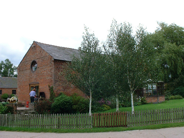
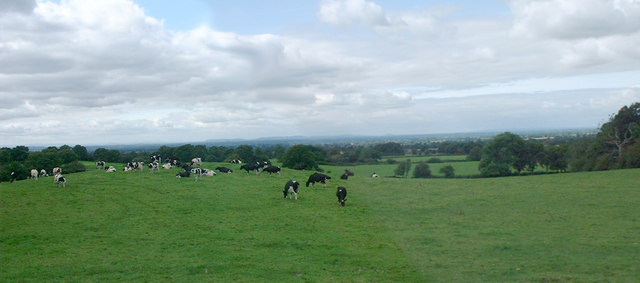
Gorsey Bank is a small village located in the county of Shropshire, England. Situated in the West Midlands region, it lies approximately 5 miles southeast of the market town of Shrewsbury. The village is nestled amidst picturesque countryside, with rolling hills and lush green fields surrounding it.

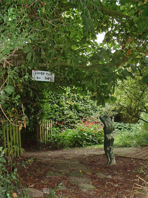
Gorsey Bank is a typical rural village, characterized by its quaint and charming atmosphere. It is home to a close-knit community, where residents foster a strong sense of community spirit. The village comprises a mix of residential properties, ranging from traditional cottages to more modern houses, interspersed with patches of farmland.

Despite its small size, Gorsey Bank boasts a number of amenities for its residents. There is a local primary school that serves the village and nearby areas, providing education to young children. Additionally, the village features a village hall, which serves as a hub for community events and gatherings.

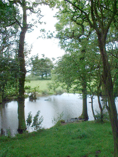
The surrounding countryside offers a range of outdoor activities and opportunities for exploration. Residents and visitors can enjoy leisurely walks along the numerous footpaths and bridleways that crisscross the area, taking in breathtaking views of the Shropshire Hills. The village is also conveniently located near the larger town of Shrewsbury, offering access to a wider range of amenities and services.

Overall, Gorsey Bank provides a tranquil and idyllic setting for those seeking a peaceful village life amidst the beauty of the Shropshire countryside.

If you have any feedback on the listing, please let us know in the comments section below.
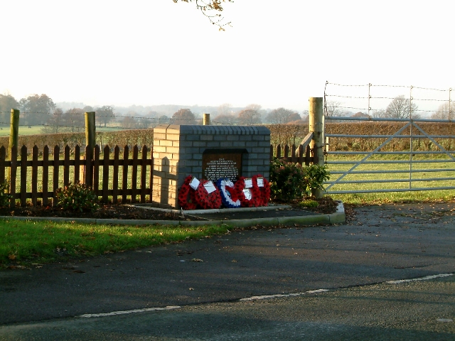
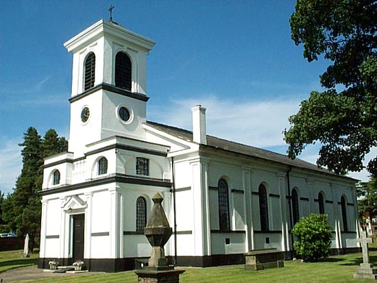
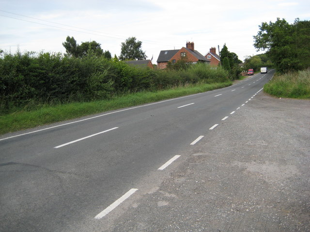
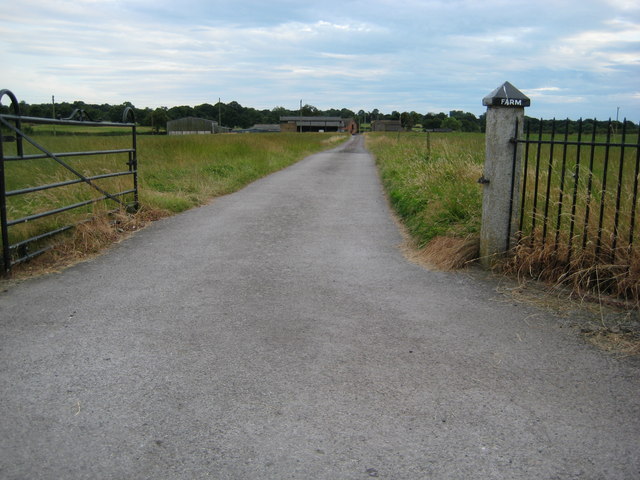
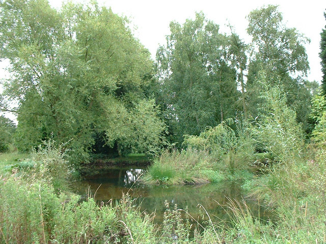
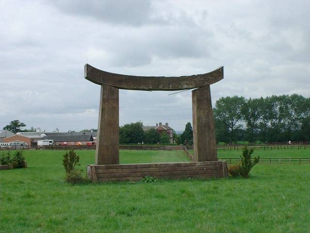
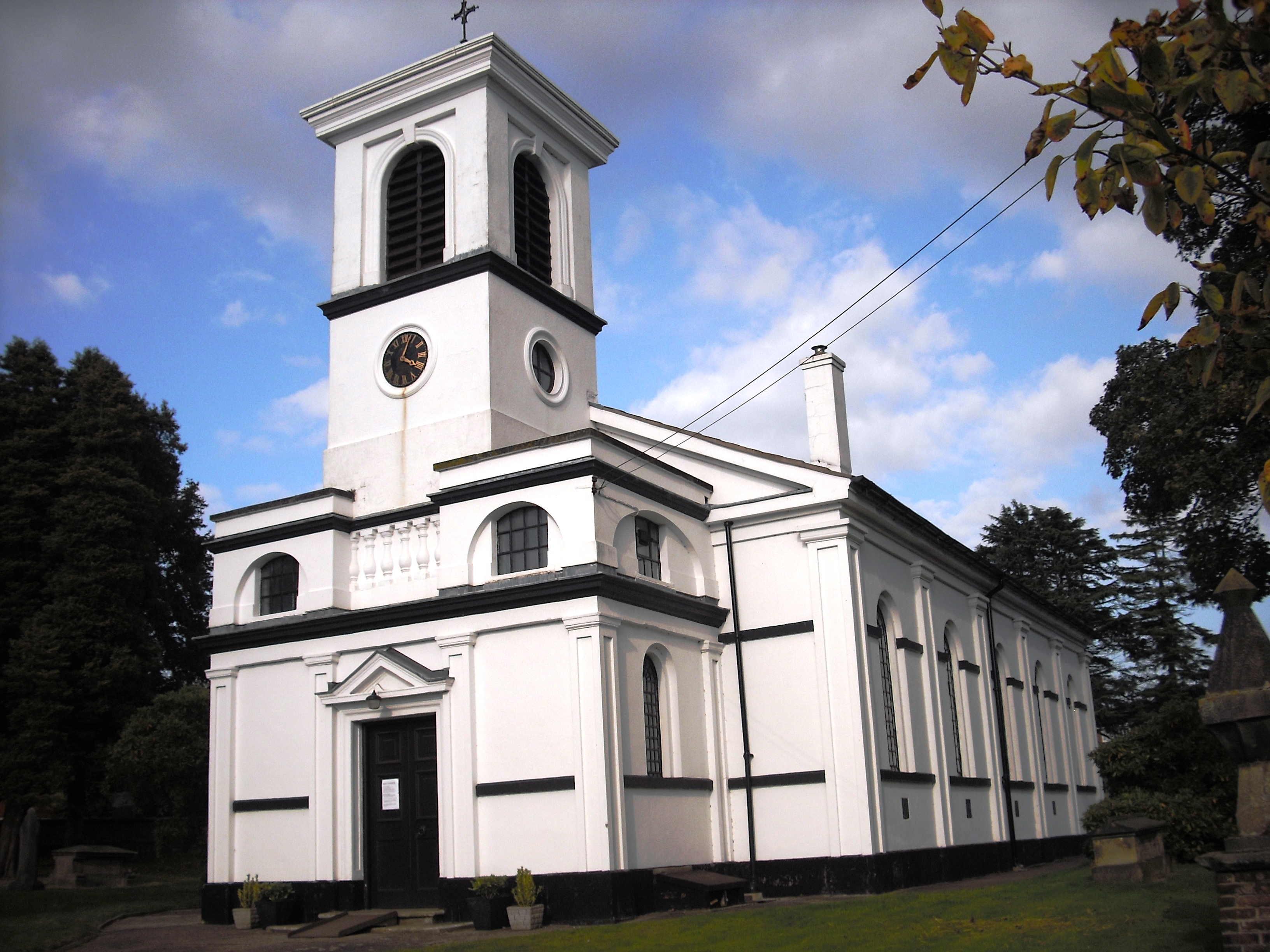
Gorsey Bank Images

Images are sourced within 2km of 52.981257/-2.4260456 or Grid Reference SJ7142. Thanks to Geograph Open Source API. All images are credited.

Memorial to the Airmen who died when their plane disintegrated on the 28th October 1944
Parkfields, Buerton Parkfields Farm, Buerton - public footpath through a very muddy field east of the farm just before the Buerton / Hunsterson parish boundary. Typical Cheshire dairy farm.
Parkfields, Buerton
Parkfields Farm, Buerton - public footpath through a very muddy field east of the farm just before the Buerton / Hunsterson parish boundary. Typical Cheshire dairy farm.
Pewit Hall, Hunsterson Pewit Hall, at the end of Pewit Lane in Hunsterson - miles from anywhere and a very expensive equestrian centre. There's even a Japanese 'tori' gate out in the fields - where else would you find one in Cheshire?! Someone has spent a great deal on this former farmhouse ...
Pewit Hall, Hunsterson
Pewit Hall, at the end of Pewit Lane in Hunsterson - miles from anywhere and a very expensive equestrian centre. There's even a Japanese 'tori' gate out in the fields - where else would you find one in Cheshire?! Someone has spent a great deal on this former farmhouse ...
Bridgemere Garden World The largest garden centre in the area, Bridgemere occupies an extensive site just east of the A51 and is always busy at the weekend, even in the winter rain. This view shows the main building and restaurant
Bridgemere Garden World
The largest garden centre in the area, Bridgemere occupies an extensive site just east of the A51 and is always busy at the weekend, even in the winter rain. This view shows the main building and restaurant
Winter colour at Bridgemere Garden World Bridgemere Garden World is the largest garden centre in the area. This view shows the coffee bar and some of the greenhouses on a rainy winter afternoon
Winter colour at Bridgemere Garden World
Bridgemere Garden World is the largest garden centre in the area. This view shows the coffee bar and some of the greenhouses on a rainy winter afternoon
Bridgemere Garden World Bridgemere Garden World is the largest garden centre in the area. This view shows the main exit and tills on a rainy winter afternoon. The A51 runs just beyond the line of trees
Bridgemere Garden World
Bridgemere Garden World is the largest garden centre in the area. This view shows the main exit and tills on a rainy winter afternoon. The A51 runs just beyond the line of trees
St Leonard's Church, Woore St. Leonard's church was constructed in 1832 and is of an unconventional white plaster design
St Leonard's Church, Woore
St. Leonard's church was constructed in 1832 and is of an unconventional white plaster design
Enter West Entering Woore from the West on the A525 (from Audlem)
Enter West
Entering Woore from the West on the A525 (from Audlem)
Rural homes alongside the A525 Looking East towards Woore
Rural homes alongside the A525
Looking East towards Woore
Fields Farm drive Farm drive seen from the main road
Fields Farm drive
Farm drive seen from the main road
Footpath near Wheel  Green Footpath follows track south out of Wheel Green
Footpath near Wheel Green
Footpath follows track south out of Wheel Green
Dorrington Hall Farm Farmers wife cooking barbecue
Dorrington Hall Farm
Farmers wife cooking barbecue
Cheshire landscape View over Cheshire but taken in Shropshire (just) Welsh hills in distance.
Cheshire landscape
View over Cheshire but taken in Shropshire (just) Welsh hills in distance.
Pond Pond in wood
Pond
Pond in wood
Ring the bell Garden of Dorrington Hall
Ring the bell
Garden of Dorrington Hall
Pond in garden Garden pond at Admirals Gorse
Pond in garden
Garden pond at Admirals Gorse
Wheel Green Farm
Wheel Green Farm
Horse jump Horse jumping course on Pewit Hall fields
Horse jump
Horse jumping course on Pewit Hall fields
Show me another place!

Gorsey Bank is located at Grid Ref: SJ7142 (Lat: 52.981257, Lng: -2.4260456)

Unitary Authority: Shropshire

Police Authority: West Merica

What 3 Words

///sensitive.widen.golf. Near Audlem, Cheshire

Related Wikis

Dorrington Lane

Dorrington Lane is a hamlet near the village of Woore in northeast Shropshire, England. There are around 12 former council houses and two larger houses...

Woore

Woore is a village and civil parish in the north east of Shropshire, England, of about 3,950 acres (1,600 hectares). It had a population of 1,004 in the...

Ireland's Cross

Ireland's Cross is a small hamlet in the civil parish of Woore in Shropshire, England. == References ==

Bridgemere

Bridgemere is a village (at SJ717454) and former civil parish, now in the parish of Doddington and District, in the unitary authority area of Cheshire...

Pipe Gate railway station

Pipe Gate was a railway station on the North Staffordshire Railway's Stoke to Market Drayton Line. == Construction == Construction was started on the Newcastle...

Knighton, Newcastle-under-Lyme

Knighton is a hamlet in north west Staffordshire, England, located in the Borough of Newcastle-under-Lyme. It is surrounded to the west, north and east...

Buerton, Cheshire East

Buerton is a village at SJ685435 and civil parish in the unitary authority of Cheshire East and the ceremonial county of Cheshire, England, about 7 miles...

Bearstone

Bearstone is a hamlet in Shropshire, England. For population details as taken at the 2011 census see Woore (Shropshire).

Nearby Amenities

Located within 500m of 52.981257,-2.4260456
Gorsey Bank
Place: locality
Source: OS_OpenData_StreetView
Lat/Long: 52.9812685/-2.4234577
The data included in this document is from www.openstreetmap.org. The data is made available under ODbL.

Have you been to Gorsey Bank?

Leave your review of Gorsey Bank below (or comments, questions and feedback).