Gaughey Plantation

Wood, Forest in Yorkshire Ribble Valley

England

Gaughey Plantation

Sheep at pasture Behind the long stay car park.
Sheep at pasture Credit: Phil and Juliette Platt

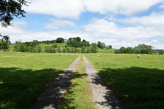
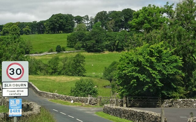
Gaughey Plantation is a picturesque wooded area located in Yorkshire, England. Situated amidst the serene surroundings of a lush forest, the plantation spans a vast expanse of land, offering visitors a serene escape from the bustling city life.

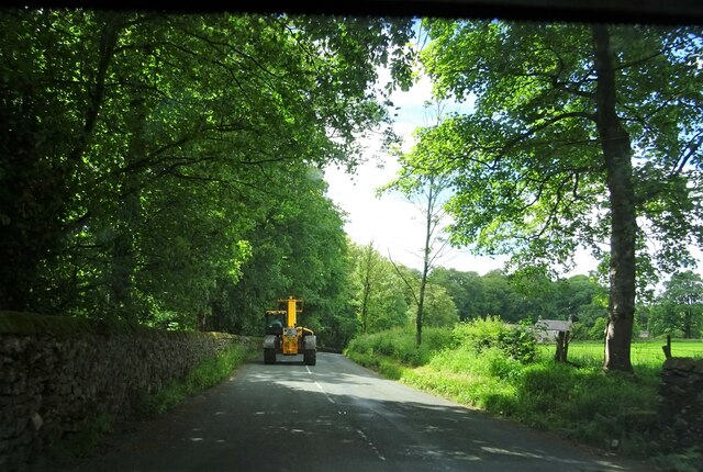
The plantation is characterized by its dense woodland, consisting primarily of various species of trees, including oak, beech, and birch. These tall, majestic trees create a captivating canopy that filters sunlight, casting dappled shadows on the forest floor. The flora diversity within the plantation is abundant, with an array of wildflowers, ferns, and mosses adding to its natural beauty.

The plantation is a haven for wildlife enthusiasts, as it provides a rich habitat for a variety of animals. Deer, foxes, badgers, and numerous species of birds can be spotted within the woodland, making it a popular destination for nature lovers and photographers alike.

For those looking to explore the plantation, well-maintained walking trails wind through the forest, offering visitors the opportunity to immerse themselves in the tranquil ambiance and enjoy the beauty of the natural surroundings. The trails are also suitable for cycling, providing a scenic route for outdoor enthusiasts.

Additionally, Gaughey Plantation offers picnic areas and designated spaces for camping, allowing visitors to fully embrace the peacefulness of the location. The plantation is open to the public year-round, with each season offering its own unique charm, from the vibrant colors of autumn to the fresh green foliage of spring.

In conclusion, Gaughey Plantation is a captivating woodland retreat in Yorkshire, offering visitors a chance to connect with nature and experience the beauty of a thriving forest ecosystem.

If you have any feedback on the listing, please let us know in the comments section below.

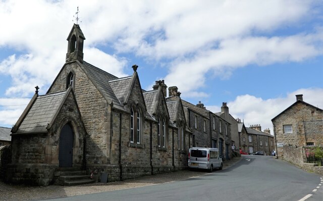
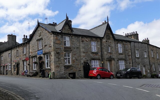
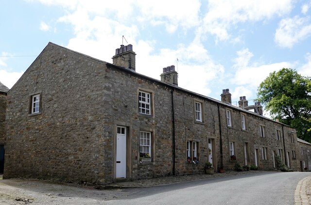
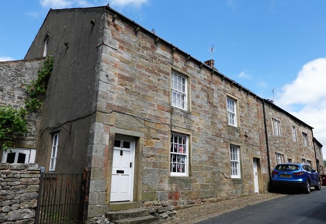
Gaughey Plantation Images

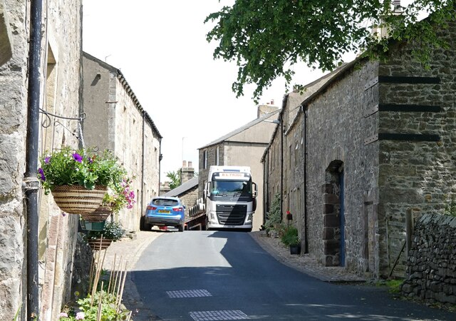
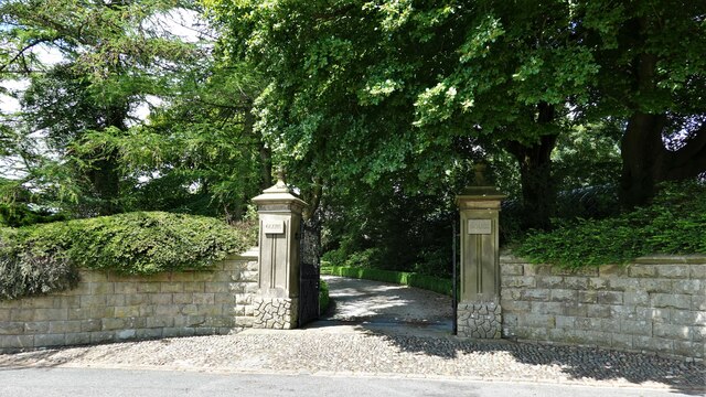
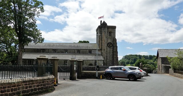
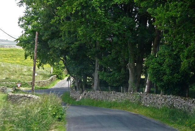
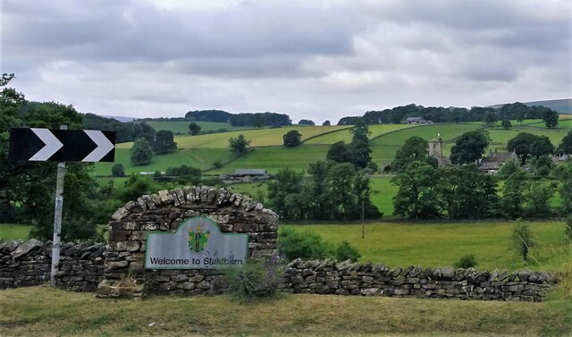
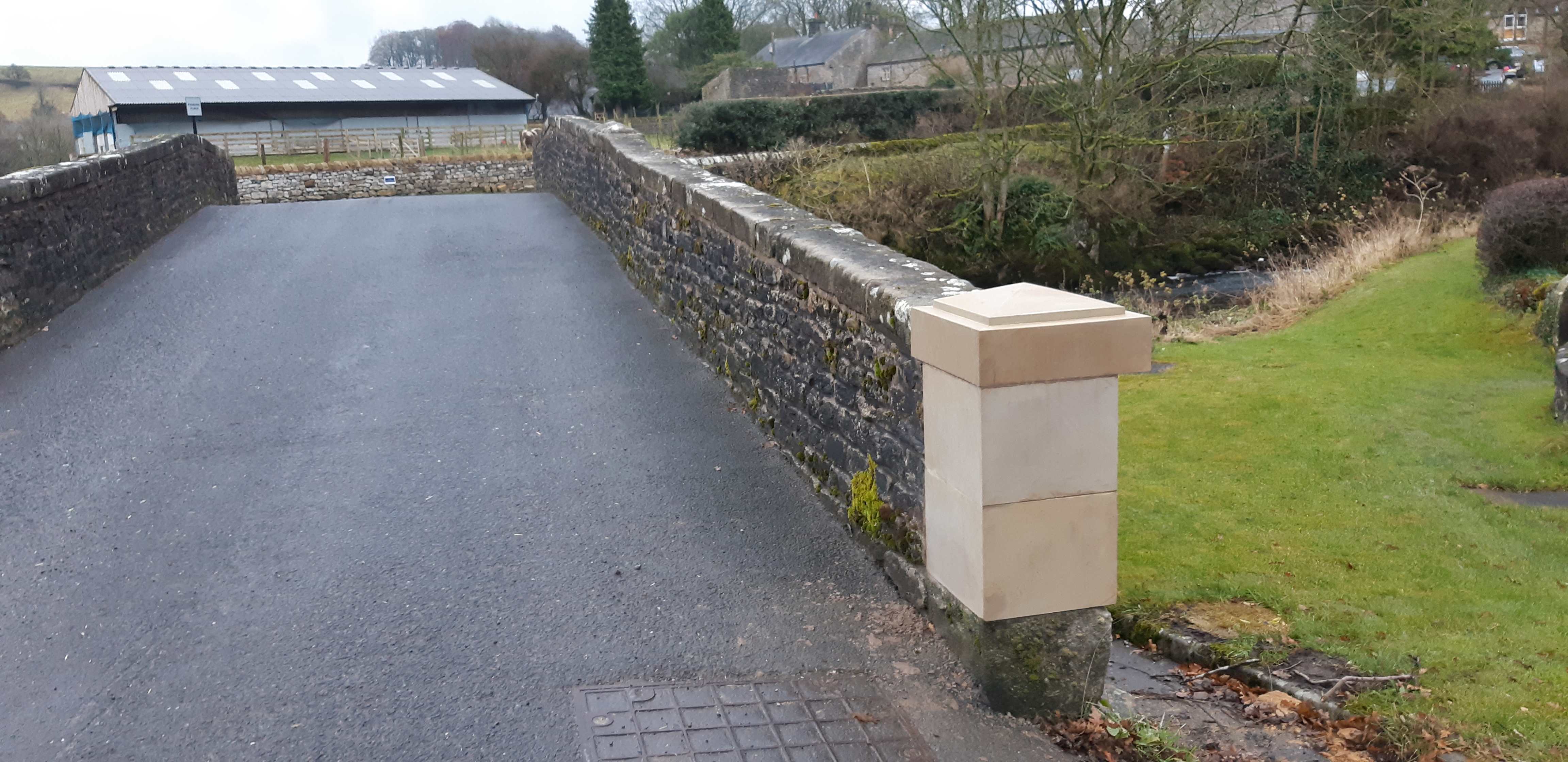
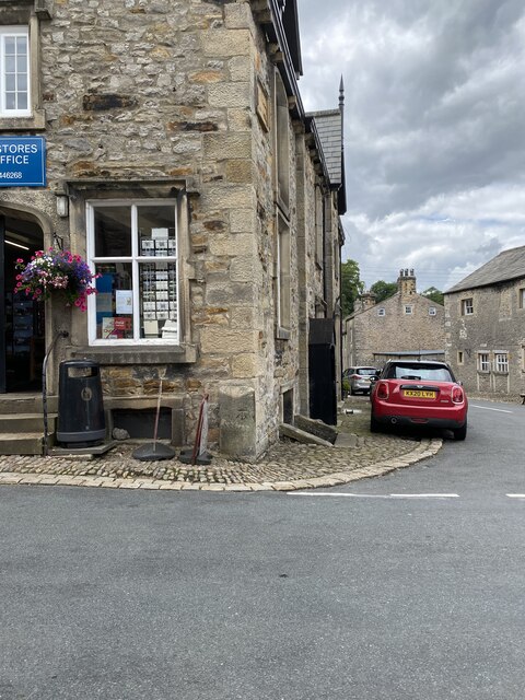
Images are sourced within 2km of 53.960608/-2.429268 or Grid Reference SD7151. Thanks to Geograph Open Source API. All images are credited.

Sheep at pasture Behind the long stay car park.
Sheep at pasture
Behind the long stay car park.
Slaidburn Bridge Carrying the B6478 over the River Hodder.
Slaidburn Bridge
Carrying the B6478 over the River Hodder.
Slaidburn Village Hall Originally a Wesleyan chapel built in 1821 and restored in 1889. The later conversion to a village hall included an extension at the rear.
Slaidburn Village Hall
Originally a Wesleyan chapel built in 1821 and restored in 1889. The later conversion to a village hall included an extension at the rear.
Slaidburn war memorial
Former school in Slaidburn The village girls' school was on chapel street.
Former school in Slaidburn
The village girls' school was on chapel street.
Waterloo Buildings Built in 1843 and grade II listed, the buildings are on the corner of Church Street, where the shop entrance is, and Town End in Slaidburn.
Waterloo Buildings
Built in 1843 and grade II listed, the buildings are on the corner of Church Street, where the shop entrance is, and Town End in Slaidburn.
Houses in Slaidburn A terrace on Church Street.
Houses in Slaidburn
A terrace on Church Street.
Houses in Slaidburn Nos. 18 and 20 Church Street are grade II listed.
Houses in Slaidburn
Nos. 18 and 20 Church Street are grade II listed.
A tight squeeze An H.G.V. carefully (and successfully) negotiates a hazard in Church Street, Slaidburn.
A tight squeeze
An H.G.V. carefully (and successfully) negotiates a hazard in Church Street, Slaidburn.
Entrance to Glebe House On Church Street in Slaidburn.
Entrance to Glebe House
On Church Street in Slaidburn.
St. Andrew's Church Slaidburn C. of E. parish church is grade I listed. It was built in C15 (probably) with C17 alterations.
St. Andrew's Church
Slaidburn C. of E. parish church is grade I listed. It was built in C15 (probably) with C17 alterations.
Langcliff Cross Bridge Carrying Smalden Lane over Langcliff Cross Brook.
Langcliff Cross Bridge
Carrying Smalden Lane over Langcliff Cross Brook.
Smalden Lane meets the B6478 Turn left for Slaidburn.
Smalden Lane meets the B6478
Turn left for Slaidburn.
Entering Slaidburn Approaching Slaidburn Bridge which spans the River Hodder. Also known as New Bridge, it was built in the late 18th century and is grade II listed.
Entering Slaidburn
Approaching Slaidburn Bridge which spans the River Hodder. Also known as New Bridge, it was built in the late 18th century and is grade II listed.
Slow moving traffic on the road to Newton in Bowland Near Bluebutts Farm.
Slow moving traffic on the road to Newton in Bowland
Near Bluebutts Farm.
Approaching Slaidburn St. Andrew's church can be seen in the right middle ground.
Approaching Slaidburn
St. Andrew's church can be seen in the right middle ground.
Benchmark on Croasdale Brook Bridge, Slaidburn Ordnance Survey benchmark on the north west end of Croasdale Brook Bridge, Slaidburn. The Grade II bridge had just been sympathetically restored when I took the photo in 2011. For a wider view see <a href="https://www.geograph.org.uk/photo/7682094">SD7152 : The Skaithe over Croasdale Brook, Slaidburn</a>

In 2019 this corner stone was damaged and was replaced with an incongruous brand new piece of stone that looked completely out of place. <span class="nowrap"><a title="https://www.jonglew.com/Walking/Benchmarks/2019/20191122-BrParapetSlaidburnLancsLocationOfBM18-CutBM.jpg" rel="nofollow ugc noopener" href="https://www.jonglew.com/Walking/Benchmarks/2019/20191122-BrParapetSlaidburnLancsLocationOfBM18-CutBM.jpg">Link</a><img style="margin-left:2px;" alt="External link" title="External link - shift click to open in new window" src="https://s1.geograph.org.uk/img/external.png" width="10" height="10"/></span>
Benchmark on Croasdale Brook Bridge, Slaidburn
Ordnance Survey benchmark on the north west end of Croasdale Brook Bridge, Slaidburn. The Grade II bridge had just been sympathetically restored when I took the photo in 2011. For a wider view see SD7152 : The Skaithe over Croasdale Brook, Slaidburn In 2019 this corner stone was damaged and was replaced with an incongruous brand new piece of stone that looked completely out of place. LinkExternal link
Location of Cut Mark: Slaidburn, Guard Stone #2 Church Street
Show me another place!

Gaughey Plantation is located at Grid Ref: SD7151 (Lat: 53.960608, Lng: -2.429268)

Division: West Riding

Administrative County: Lancashire

District: Ribble Valley

Police Authority: Lancashire

What 3 Words

///says.firelight.scam. Near Waddington, Lancashire

Related Wikis

Slaidburn

Slaidburn () is a village and civil parish within the Ribble Valley district of Lancashire, England. The parish covers just over 5,000 acres of the Forest...

Lancashire Witches Walk

The Lancashire Witches Walk is a 51-mile (82 km) long-distance footpath opened in 2012, between Barrowford and Lancaster, all in Lancashire, England. It...

St Andrew's Church, Slaidburn

St Andrew's Church is in Church Street, Slaidburn, Lancashire, England. It is an active Anglican parish church in the deanery of Bowland, the archdeaconry...

King's House, Slaidburn

King's House is a Grade II listed building in Slaidburn, Lancashire, England, now used as a youth hostel. It was originally built in the 18th century,...

Nearby Amenities

Located within 500m of 53.960608,-2.429268
Barrier: stile
Material: stone
Source: survey;gps
Stile: stepover
Lat/Long: 53.9621243/-2.4310186
Ford: yes
Lat/Long: 53.9616037/-2.4307916
The data included in this document is from www.openstreetmap.org. The data is made available under ODbL.

Have you been to Gaughey Plantation?

Leave your review of Gaughey Plantation below (or comments, questions and feedback).