Turnerford Wood

Wood, Forest in Yorkshire Craven

England

Turnerford Wood

Fingerpost sign next to River Wenning A repaired fingerpost sign near Clapham Station, North Yorkshire
Fingerpost sign next to River Wenning Credit: Bob McPartland

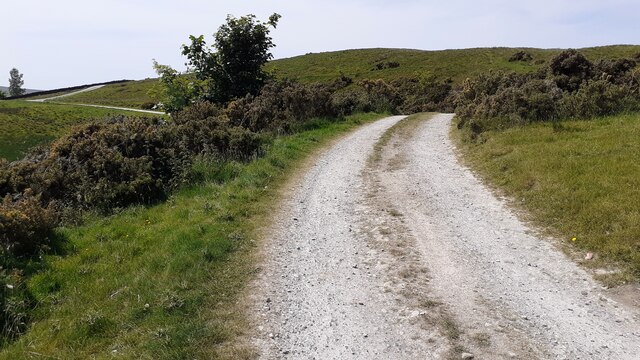
Turnerford Wood is a picturesque woodland located in the county of Yorkshire, England. Situated near the village of Turnerford, the wood covers an area of approximately 100 acres and forms part of the larger Turnerford Forest. The woodland is known for its diverse range of tree species, including oak, ash, beech, and birch, which create a stunning display of colors throughout the year.

The wood is home to a variety of wildlife, making it a popular destination for nature enthusiasts and birdwatchers. Visitors can spot an array of bird species, such as woodpeckers, owls, and various songbirds, while lucky observers might catch glimpses of foxes, deer, and squirrels roaming the forest floor.

Trails and footpaths wind their way through the wood, providing visitors with an opportunity to explore its natural beauty. In spring, the woodland floor becomes a vibrant carpet of bluebells, creating a breathtaking sight for visitors.

Additionally, Turnerford Wood offers recreational activities such as hiking, picnicking, and photography. Its tranquil atmosphere and stunning scenery make it an ideal spot for relaxation and unwinding from the hustle and bustle of everyday life.

The wood is managed by a local conservation organization, which ensures the preservation of its natural habitats and wildlife. Efforts are made to maintain the delicate balance between human enjoyment and the protection of the woodland ecosystem.

Overall, Turnerford Wood is a haven of natural beauty, offering visitors a chance to connect with nature and experience the serenity of the Yorkshire countryside.

If you have any feedback on the listing, please let us know in the comments section below.

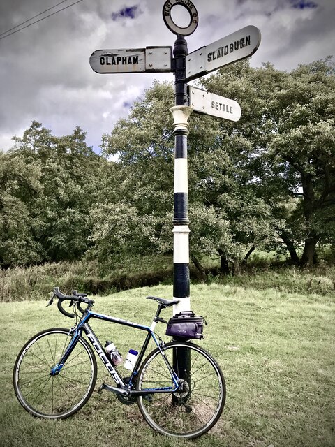
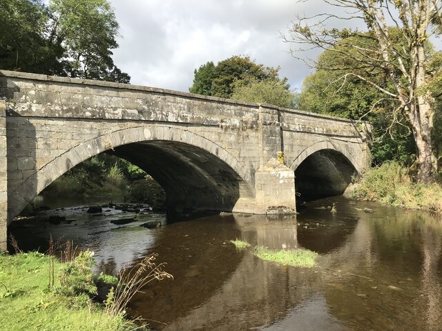
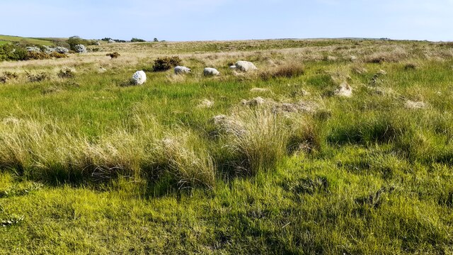
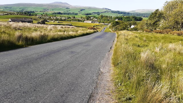
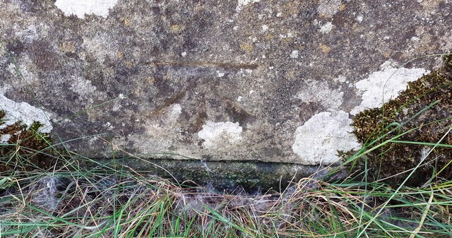
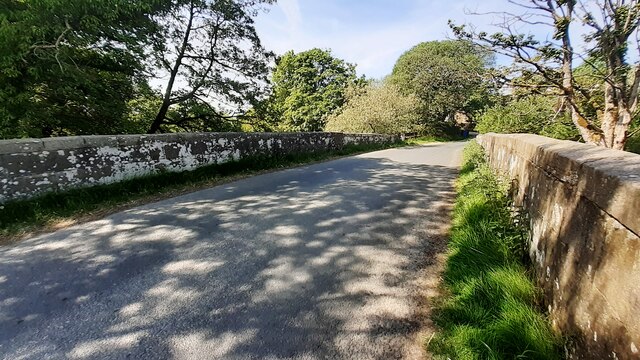
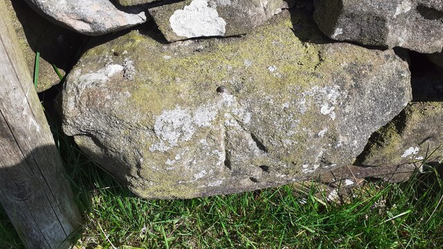
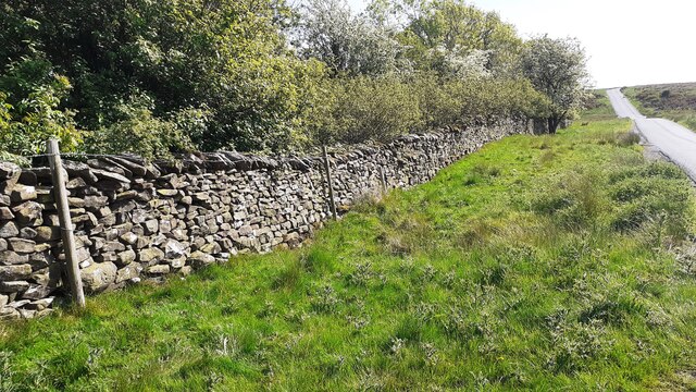
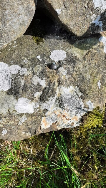
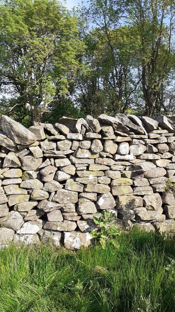
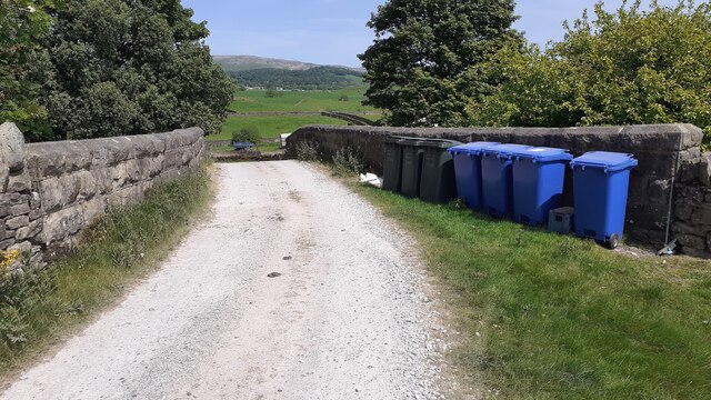
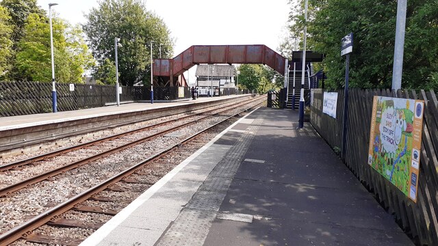
Turnerford Wood Images

Images are sourced within 2km of 54.094013/-2.4314094 or Grid Reference SD7166. Thanks to Geograph Open Source API. All images are credited.

Fingerpost sign next to River Wenning A repaired fingerpost sign near Clapham Station, North Yorkshire
Fingerpost sign next to River Wenning
A repaired fingerpost sign near Clapham Station, North Yorkshire
Wenning Bank Bridge Stone bridge over the River Wenning near Clapham Station, North Yorkshire
Wenning Bank Bridge
Stone bridge over the River Wenning near Clapham Station, North Yorkshire
Sheep grazing on Clapham Moor
Looking NE along moorland road leading to Clapham Station
Diesel multiple unit 158850 leaves Clapham Station for Morecambe The train is the Northern service from Leeds
Diesel multiple unit 158850 leaves Clapham Station for Morecambe
The train is the Northern service from Leeds
Barn and house at Nutta Farm on NE side of road
Benchmark on stone jamb of door of former post office at Wenning Bank Ordnance Survey cut mark benchmark levelled at 135.371m above Newlyn Datum verified 1953
Benchmark on stone jamb of door of former post office at Wenning Bank
Ordnance Survey cut mark benchmark levelled at 135.371m above Newlyn Datum verified 1953
House at Wenning Bank There is an Ordnance Survey benchmark <a href="https://www.geograph.org.uk/photo/7499989">SD7367 : Benchmark on stone jamb of door of former post office at Wenning Bank</a>  on the left hand jamb of the white door
House at Wenning Bank
There is an Ordnance Survey benchmark SD7367 : Benchmark on stone jamb of door of former post office at Wenning Bank on the left hand jamb of the white door
Benchmark on western parapet of Wenning Bridge Ordnance Survey cut mark benchmark levelled at 125.971m above Newlyn Datum verified 1953
Benchmark on western parapet of Wenning Bridge
Ordnance Survey cut mark benchmark levelled at 125.971m above Newlyn Datum verified 1953
Wenning Bridge, taking Wenning Bank over River Wenning There is an Ordnance Survey benchmark <a href="https://www.geograph.org.uk/photo/7500665">SD7367 : Benchmark on western parapet of Wenning Bridge</a> on the left hand parapet over the centre of the river
Wenning Bridge, taking Wenning Bank over River Wenning
There is an Ordnance Survey benchmark SD7367 : Benchmark on western parapet of Wenning Bridge on the left hand parapet over the centre of the river
Benchmark on roadside wall west of Meldingscale Farm Ordnance Survey rivet benchmark levelled at 132.094m above Newlyn Datum verified 1953
Benchmark on roadside wall west of Meldingscale Farm
Ordnance Survey rivet benchmark levelled at 132.094m above Newlyn Datum verified 1953
Dry stone wall beside rural road at Meldingscale Farm There is an Ordnance Survey benchmark on the stone at the base of the wall right of the nearest fence post at the left hand edge of the image
Dry stone wall beside rural road at Meldingscale Farm
There is an Ordnance Survey benchmark on the stone at the base of the wall right of the nearest fence post at the left hand edge of the image
Benchmark on dry stone wall on west side of road south of Wenning Bridge Ordnance Survey rivet benchmark levelled at 140.568m above Newlyn Datum verified 1953
Benchmark on dry stone wall on west side of road south of Wenning Bridge
Ordnance Survey rivet benchmark levelled at 140.568m above Newlyn Datum verified 1953
Dry stone wall and trees on southeast side of road on Clapham Moor There is an Ordnance Survey benchmark <a href="https://www.geograph.org.uk/photo/7500700">SD7367 : Benchmark on dry stone wall on west side of road south of Wenning Bridge</a> on a stone at the base of the wall left of a foxglove
Dry stone wall and trees on southeast side of road on Clapham Moor
There is an Ordnance Survey benchmark SD7367 : Benchmark on dry stone wall on west side of road south of Wenning Bridge on a stone at the base of the wall left of a foxglove
Nutta Bridge taking farm access track over former railway line
Clapham Station looking towards overbridge and Station House
Finger signpost on the green triangle west of Clapham Station Another view of the signpost is at <a href="https://www.geograph.org.uk/photo/6045595">SD7367 : Old Direction Sign - Signpost near Clapham Station, Wenning Bank</a>
Finger signpost on the green triangle west of Clapham Station
Access track to High Hazel Hill Farm from Nutta Bridge
Show me another place!

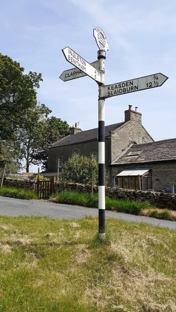
Turnerford Wood is located at Grid Ref: SD7166 (Lat: 54.094013, Lng: -2.4314094)

Division: West Riding

Administrative County: North Yorkshire

District: Craven

Police Authority: North Yorkshire

What 3 Words

///relating.toned.butternut. Near High Bentham, North Yorkshire

Related Wikis

Keasden

Keasden is a hamlet in the civil parish of Clapham-cum-Newby, in the Craven district of the county of North Yorkshire, in the north-western England. It...

Keasden Beck

Keasden Beck is a stream in Yorkshire (formerly the West Riding) rising near Keasden Head, joining the River Wenning south west of Clapham. == References... ==

Clapham railway station

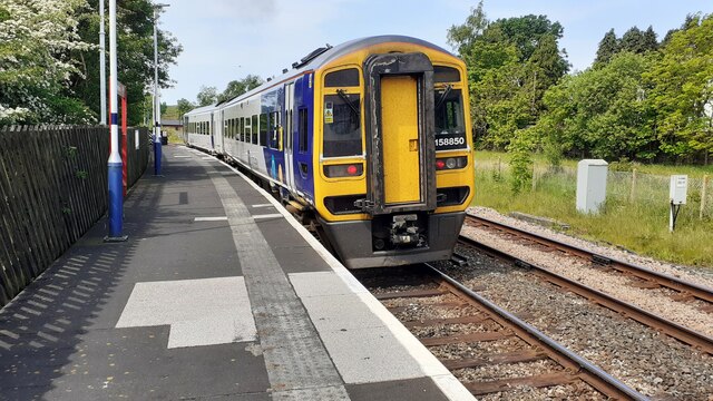
Clapham is a railway station on the Bentham Line, which runs between Leeds and Morecambe via Skipton. The station, situated 48 miles (77 km) north-west...

Clapham cum Newby

Clapham cum Newby is a civil parish in the Craven district of North Yorkshire, England. It was formerly in the Settle Rural District. It contains the villages...

Clapham, North Yorkshire

Clapham is a village in the civil parish of Clapham cum Newby in the Craven district of North Yorkshire, England. It was previously in the West Riding...

Eldroth

Eldroth is a village in North Yorkshire, England. It is in the civil parish of Lawkland, part of the former Craven District, some 3.25 miles (5.23 km)...

Great Stone of Fourstones

The Great Stone of Fourstones, or the Big Stone as it is known locally, is a glacial deposit on the moorlands of Tatham Fells, England, straddling the...

Austwick

Austwick is a village and civil parish in the Craven district of North Yorkshire, England, about 5 miles (8 km) north-west of Settle. The village is on...

Nearby Amenities

Located within 500m of 54.094013,-2.4314094
Telephone
Booth: KX100
Covered: booth
Lat/Long: 54.09457/-2.4248432
Barrier: stile
Material: stone
Source: survey;gps
Stile: stepover
Lat/Long: 54.0981989/-2.431409
Barrier: stile
Material: stone
Source: survey;gps
Stile: stepover
Lat/Long: 54.0935065/-2.4382802
Barrier: stile
Material: stone
Source: survey;gps
Stile: stepover
Lat/Long: 54.0912915/-2.4331895
Ford: yes
Lat/Long: 54.0912889/-2.4331588
Power: pole
Lat/Long: 54.0980622/-2.4336178
Power: pole
Source: Bing
Lat/Long: 54.0979628/-2.4323523
Power: pole
Source: Bing
Lat/Long: 54.092935/-2.4245399
Power: pole
Source: Bing
Lat/Long: 54.093583/-2.4253025
Power: pole
Source: Bing
Lat/Long: 54.0942904/-2.426143
Power: pole
Source: Bing
Lat/Long: 54.0948274/-2.4271754
Power: pole
Source: Bing
Lat/Long: 54.0953659/-2.4282285
Power: pole
Source: Bing
Lat/Long: 54.0958785/-2.4292246
Power: pole
Source: Bing
Lat/Long: 54.0964064/-2.4302388
Power: pole
Source: Bing
Lat/Long: 54.0968809/-2.430921
Power: pole
Source: Bing
Lat/Long: 54.0974179/-2.4316239
Power: pole
Source: Bing
Lat/Long: 54.0939101/-2.4243298
The data included in this document is from www.openstreetmap.org. The data is made available under ODbL.

Have you been to Turnerford Wood?

Leave your review of Turnerford Wood below (or comments, questions and feedback).