Reebys Wood
Wood, Forest in Yorkshire Craven
England
Reebys Wood
Reeby's Wood is a picturesque forest located in the county of Yorkshire, England. Situated amidst the rolling hills and lush green landscapes, this wood is a haven for nature enthusiasts and those seeking tranquility.
Covering an area of approximately 100 acres, Reebys Wood is known for its diverse range of flora and fauna. The forest is predominantly made up of deciduous trees, including oak, beech, and birch, creating a beautiful canopy of foliage. The woodland floor is adorned with an assortment of wildflowers and ferns, adding to the enchanting ambiance.
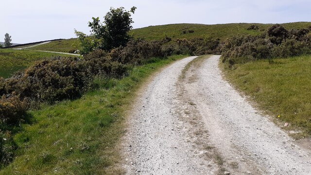
The wood is crisscrossed by a network of well-maintained walking trails, allowing visitors to explore its hidden treasures. These paths lead through the heart of the forest, passing by bubbling brooks and small ponds teeming with wildlife. Birdwatchers will delight in the various species that call Reebys Wood home, including woodpeckers, owls, and various songbirds.
Reeby's Wood is not only a haven for wildlife but also a place of historical significance. The forest has been part of the local landscape for centuries and holds a special place in the hearts of the local community. It has been carefully preserved and protected, ensuring its natural beauty remains intact for future generations to enjoy.
Visitors to Reebys Wood can also make use of the picnic areas and benches scattered throughout the forest, providing the perfect spot to relax and take in the serene surroundings. Additionally, guided tours and educational programs are available, offering a deeper understanding of the woodland ecosystem and its importance for conservation.
In conclusion, Reebys Wood in Yorkshire is a captivating destination for nature lovers, offering a peaceful retreat amidst the beauty of the forest.
If you have any feedback on the listing, please let us know in the comments section below.
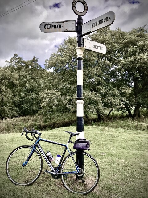
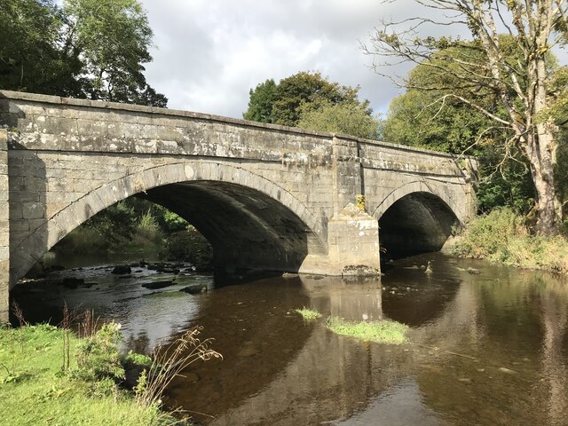
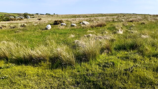
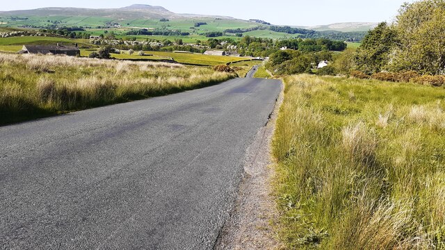
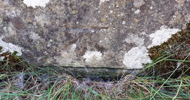
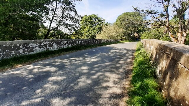
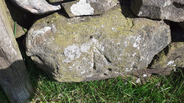
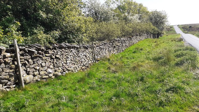
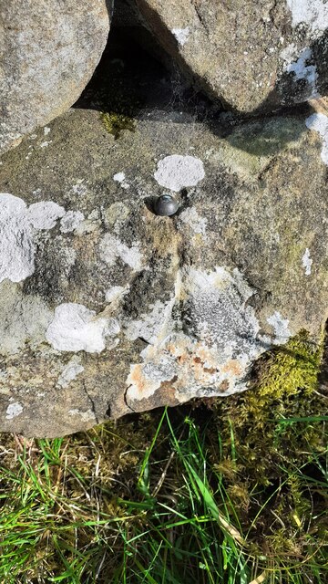
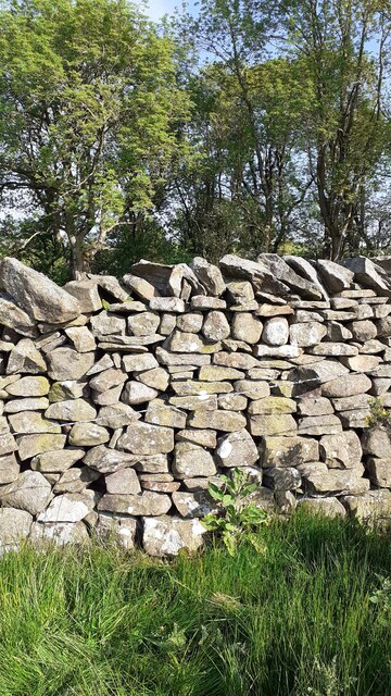
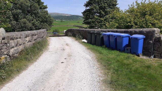
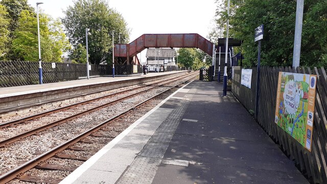
Reebys Wood Images
Images are sourced within 2km of 54.096648/-2.4334857 or Grid Reference SD7166. Thanks to Geograph Open Source API. All images are credited.
Reebys Wood is located at Grid Ref: SD7166 (Lat: 54.096648, Lng: -2.4334857)
Division: West Riding
Administrative County: North Yorkshire
District: Craven
Police Authority: North Yorkshire
What 3 Words
///undivided.clusters.delusions. Near High Bentham, North Yorkshire
Nearby Locations
Related Wikis

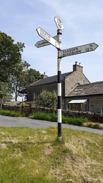
Keasden
Keasden is a hamlet in the civil parish of Clapham-cum-Newby, in the Craven district of the county of North Yorkshire, in the north-western England. It...

Keasden Beck
Keasden Beck is a stream in Yorkshire (formerly the West Riding) rising near Keasden Head, joining the River Wenning south west of Clapham. == References... ==

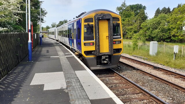
Clapham railway station
Clapham is a railway station on the Bentham Line, which runs between Leeds and Morecambe via Skipton. The station, situated 48 miles (77 km) north-west...

Clapham cum Newby
Clapham cum Newby is a civil parish in the Craven district of North Yorkshire, England. It was formerly in the Settle Rural District. It contains the villages...

Clapham, North Yorkshire
Clapham is a village in the civil parish of Clapham cum Newby in the Craven district of North Yorkshire, England. It was previously in the West Riding...

Great Stone of Fourstones
The Great Stone of Fourstones, or the Big Stone as it is known locally, is a glacial deposit on the moorlands of Tatham Fells, England, straddling the...

Eldroth
Eldroth is a village in North Yorkshire, England. It is in the civil parish of Lawkland, part of the former Craven District, some 3.25 miles (5.23 km)...

St Margaret's Church, High Bentham
St Margaret's Church is in Station Road, High Bentham, North Yorkshire, England. It is an Anglican parish church in the deanery of Ewecross, the archdeaconry...
Nearby Amenities
Located within 500m of 54.096648,-2.4334857Have you been to Reebys Wood?
Leave your review of Reebys Wood below (or comments, questions and feedback).