Stony Wood

Wood, Forest in Yorkshire Craven

England

Stony Wood

Sheep grazing on Clapham Moor
Sheep grazing on Clapham Moor Credit: Roger Templeman

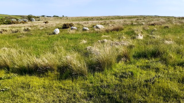
Stony Wood is a picturesque forest located in the county of Yorkshire, England. Situated in the heart of the Yorkshire Dales, this woodland area is renowned for its natural beauty and tranquil atmosphere. The forest spans over 500 acres, making it a significant natural reserve in the region.

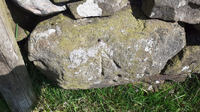
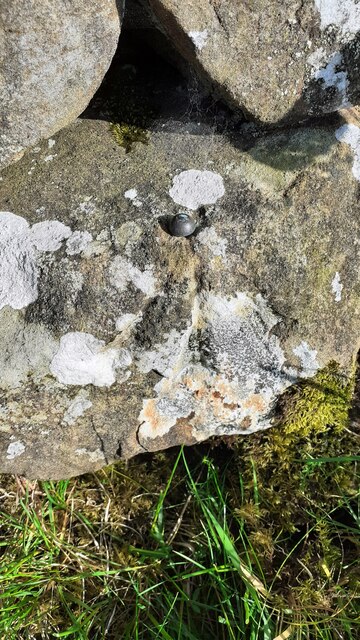
The name "Stony Wood" derives from the abundance of rocks and stones scattered throughout the area, which provide an enchanting and rustic charm. The woodland is predominantly composed of native trees such as oak, beech, and birch, creating a diverse and vibrant ecosystem. These trees offer a dense canopy, providing shade and shelter for various wildlife species.

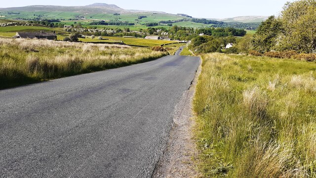
The forest is crisscrossed by a network of well-maintained footpaths and trails, making it a popular destination for hikers and nature enthusiasts. Visitors can explore the woodlands on foot, admiring the rich flora and fauna that inhabit the area. The forest is home to numerous species of birds, including woodpeckers, owls, and various songbirds, making it a haven for birdwatchers.

Stony Wood is also dotted with small streams and ponds, adding to its scenic appeal. These water bodies attract a variety of aquatic life, including frogs, newts, and dragonflies. The tranquil ambiance of the forest makes it an ideal spot for picnics and relaxation, allowing visitors to immerse themselves in the beauty of nature.

In summary, Stony Wood is a captivating forest nestled in the idyllic Yorkshire countryside. Its rocky terrain, diverse vegetation, and abundant wildlife make it a cherished destination for nature lovers and a true gem in the region.

If you have any feedback on the listing, please let us know in the comments section below.
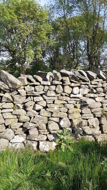
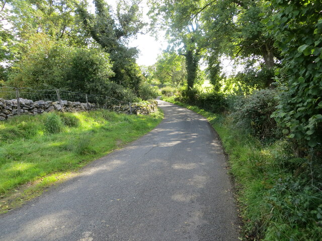
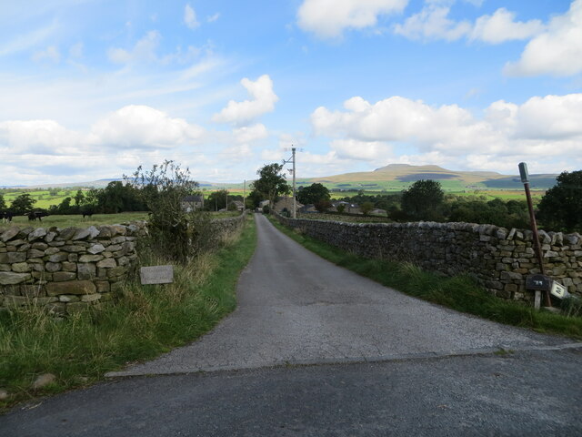
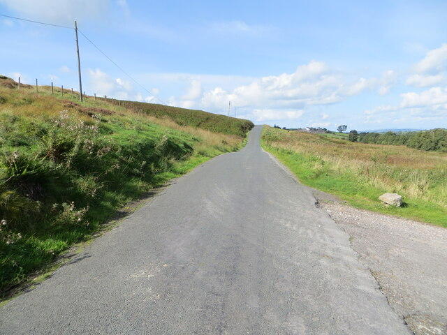
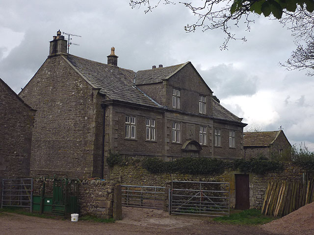
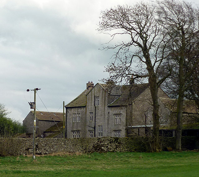
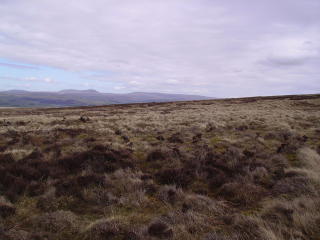
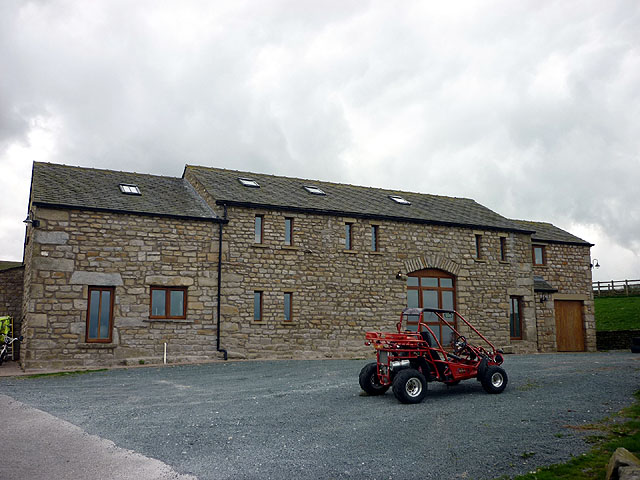
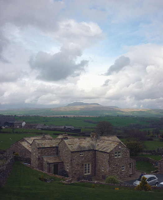
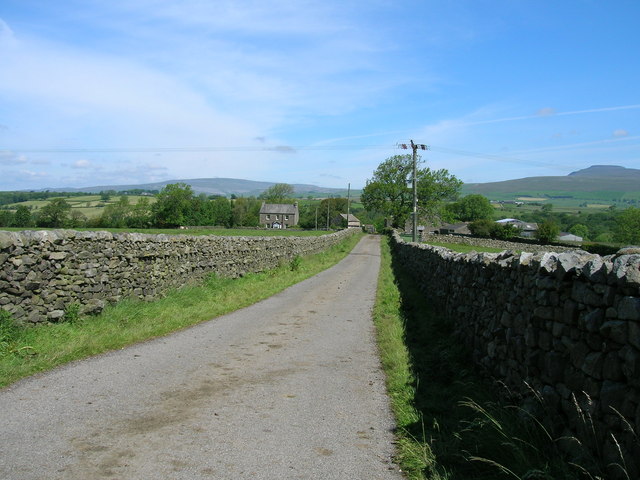
Stony Wood Images

Images are sourced within 2km of 54.091758/-2.4338322 or Grid Reference SD7166. Thanks to Geograph Open Source API. All images are credited.

Sheep grazing on Clapham Moor
Looking NE along moorland road leading to Clapham Station
Benchmark on roadside wall west of Meldingscale Farm Ordnance Survey rivet benchmark levelled at 132.094m above Newlyn Datum verified 1953
Benchmark on roadside wall west of Meldingscale Farm
Ordnance Survey rivet benchmark levelled at 132.094m above Newlyn Datum verified 1953
Dry stone wall beside rural road at Meldingscale Farm There is an Ordnance Survey benchmark on the stone at the base of the wall right of the nearest fence post at the left hand edge of the image
Dry stone wall beside rural road at Meldingscale Farm
There is an Ordnance Survey benchmark on the stone at the base of the wall right of the nearest fence post at the left hand edge of the image
Benchmark on dry stone wall on west side of road south of Wenning Bridge Ordnance Survey rivet benchmark levelled at 140.568m above Newlyn Datum verified 1953
Benchmark on dry stone wall on west side of road south of Wenning Bridge
Ordnance Survey rivet benchmark levelled at 140.568m above Newlyn Datum verified 1953
Dry stone wall and trees on southeast side of road on Clapham Moor There is an Ordnance Survey benchmark <a href="https://www.geograph.org.uk/photo/7500700">SD7367 : Benchmark on dry stone wall on west side of road south of Wenning Bridge</a> on a stone at the base of the wall left of a foxglove
Dry stone wall and trees on southeast side of road on Clapham Moor
There is an Ordnance Survey benchmark SD7367 : Benchmark on dry stone wall on west side of road south of Wenning Bridge on a stone at the base of the wall left of a foxglove
Hollin Lane at Ratton Syke Bridge Looking south-eastward.
Hollin Lane at Ratton Syke Bridge
Looking south-eastward.
Access to Hammon Head Hall Looking northward from Bloe Beck Lane. Ingleborough is visible on the skyline.
Access to Hammon Head Hall
Looking northward from Bloe Beck Lane. Ingleborough is visible on the skyline.
Mewith Lane beside Cinder Hill Looking north-westward.
Mewith Lane beside Cinder Hill
Looking north-westward.
Mewith Head Hall An unexpected sight up here almost at the upper edge of the pasture land of Mewith Forest. The hall is 18th Century although the owner(?) told me that he thought it once belonged to a standard bearer of Henry VIII. It is Grade II* listed <span class="nowrap"><a title="http://www.britishlistedbuildings.co.uk/en-324095-mewith-head-hall-wall-to-garden-and-gate" rel="nofollow ugc noopener" href="http://www.britishlistedbuildings.co.uk/en-324095-mewith-head-hall-wall-to-garden-and-gate">Link</a><img style="margin-left:2px;" alt="External link" title="External link - shift click to open in new window" src="https://s1.geograph.org.uk/img/external.png" width="10" height="10"/></span> along with the wall of the garden and the gatepiers.
Mewith Head Hall
An unexpected sight up here almost at the upper edge of the pasture land of Mewith Forest. The hall is 18th Century although the owner(?) told me that he thought it once belonged to a standard bearer of Henry VIII. It is Grade II* listed LinkExternal link along with the wall of the garden and the gatepiers.
Mewith Head Hall - north aspect An unexpected sight up here almost at the upper edge of the pasture land of Mewith Forest. The hall is 18th Century although the owner(?) told me that he thought it once belonged to a standard bearer of Henry VIII. It is Grade II* listed <span class="nowrap"><a title="http://www.britishlistedbuildings.co.uk/en-324095-mewith-head-hall-wall-to-garden-and-gate" rel="nofollow ugc noopener" href="http://www.britishlistedbuildings.co.uk/en-324095-mewith-head-hall-wall-to-garden-and-gate">Link</a><img style="margin-left:2px;" alt="External link" title="External link - shift click to open in new window" src="https://s1.geograph.org.uk/img/external.png" width="10" height="10"/></span> along with the wall of the garden and the gatepiers.
Mewith Head Hall - north aspect
An unexpected sight up here almost at the upper edge of the pasture land of Mewith Forest. The hall is 18th Century although the owner(?) told me that he thought it once belonged to a standard bearer of Henry VIII. It is Grade II* listed LinkExternal link along with the wall of the garden and the gatepiers.
Mewith Head Hall
Mewith Head Hall
Near Thick Sod Holes There must have been a Thick Sod up there but I didn't see him. Looking north east from Burn Moor.
Near Thick Sod Holes
There must have been a Thick Sod up there but I didn't see him. Looking north east from Burn Moor.
Approaching Mewith Head Hall Large Grade II* Listed Building on the edge of Burn Moor, in Bowland.
Approaching Mewith Head Hall
Large Grade II* Listed Building on the edge of Burn Moor, in Bowland.
Laneside Barn, Mewith Head A new conversion, there is an open air swimming pool under construction just where the footpath comes in from Mewith Head Hall.
Laneside Barn, Mewith Head
A new conversion, there is an open air swimming pool under construction just where the footpath comes in from Mewith Head Hall.
Mewith Head There are several dwellings here and nearby which are either new builds made to look 'rustic' (with a local stone cladding) or conversions. It will take some years for these to weather. There is a fine view of Ingleborough across the Wenning dale.
Mewith Head
There are several dwellings here and nearby which are either new builds made to look 'rustic' (with a local stone cladding) or conversions. It will take some years for these to weather. There is a fine view of Ingleborough across the Wenning dale.
Mewith Lane towards Mewith Head
Track to Hammonhead
Track to Hammonhead
Show me another place!

Stony Wood is located at Grid Ref: SD7166 (Lat: 54.091758, Lng: -2.4338322)

Division: West Riding

Administrative County: North Yorkshire

District: Craven

Police Authority: North Yorkshire

What 3 Words

///caressing.hoops.cases. Near High Bentham, North Yorkshire

Related Wikis

Keasden

Keasden is a hamlet in the civil parish of Clapham-cum-Newby, in the Craven district of the county of North Yorkshire, in the north-western England. It...

Keasden Beck

Keasden Beck is a stream in Yorkshire (formerly the West Riding) rising near Keasden Head, joining the River Wenning south west of Clapham. == References... ==

Clapham railway station

Clapham is a railway station on the Bentham Line, which runs between Leeds and Morecambe via Skipton. The station, situated 48 miles (77 km) north-west...

Clapham cum Newby

Clapham cum Newby is a civil parish in the Craven district of North Yorkshire, England. It was formerly in the Settle Rural District. It contains the villages...

Clapham, North Yorkshire

Clapham is a village in the civil parish of Clapham cum Newby in the Craven district of North Yorkshire, England. It was previously in the West Riding...

Eldroth

Eldroth is a village in North Yorkshire, England. It is in the civil parish of Lawkland, part of the former Craven District, some 3.25 miles (5.23 km)...

Great Stone of Fourstones

The Great Stone of Fourstones, or the Big Stone as it is known locally, is a glacial deposit on the moorlands of Tatham Fells, England, straddling the...

St Margaret's Church, High Bentham

St Margaret's Church is in Station Road, High Bentham, North Yorkshire, England. It is an Anglican parish church in the deanery of Ewecross, the archdeaconry...

Nearby Amenities

Located within 500m of 54.091758,-2.4338322
Barrier: stile
Material: stone
Source: survey;gps
Stile: stepover
Lat/Long: 54.0935065/-2.4382802
Barrier: stile
Material: stone
Source: survey;gps
Stile: stepover
Lat/Long: 54.0912915/-2.4331895
Ford: yes
Lat/Long: 54.0912889/-2.4331588
Power: pole
Lat/Long: 54.0894108/-2.4273232
Power: pole
Lat/Long: 54.0892237/-2.4284542
Power: pole
Lat/Long: 54.0885771/-2.429113
Power: pole
Lat/Long: 54.0880491/-2.4297122
Power: pole
Lat/Long: 54.0892252/-2.4297018
Power: pole
Lat/Long: 54.0892571/-2.4309158
Power: pole
Lat/Long: 54.0892754/-2.432109
Power: pole
Lat/Long: 54.0893058/-2.4333411
Power: pole
Lat/Long: 54.0893363/-2.4346614
Power: pole
Lat/Long: 54.0893576/-2.4360206
Power: pole
Lat/Long: 54.0893758/-2.4374758
Power: pole
Lat/Long: 54.0894062/-2.438778
The data included in this document is from www.openstreetmap.org. The data is made available under ODbL.

Have you been to Stony Wood?

Leave your review of Stony Wood below (or comments, questions and feedback).