Sweetbrier Brake

Wood, Forest in Gloucestershire Stroud

England

Sweetbrier Brake

Michael Wood Services M5 at night
Michael Wood Services M5 at night Credit: Roy Hughes

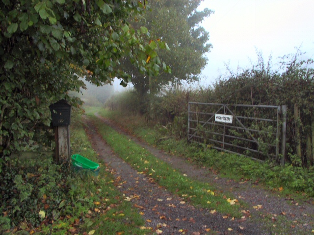
Sweetbrier Brake is a picturesque woodland located in the county of Gloucestershire, England. Situated in the heart of the Forest of Dean, this enchanting area covers an approximate area of 200 acres, making it a popular destination for nature lovers and outdoor enthusiasts alike.

The woodland is characterized by its diverse range of tree species, including oak, beech, and birch, which create a vibrant and ever-changing landscape throughout the year. Sweetbrier Brake is particularly renowned for its stunning display of bluebells that carpet the forest floor during the spring months, attracting visitors from far and wide.

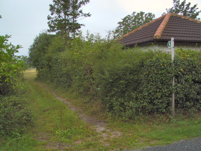
The forest is crisscrossed by a network of well-maintained footpaths and trails, providing ample opportunities for hiking, walking, and cycling. These routes offer breathtaking views of the surrounding countryside, including glimpses of the nearby River Severn, which adds to the charm and tranquility of the area.

Wildlife is abundant in Sweetbrier Brake, with sightings of deer, foxes, badgers, and a wide variety of bird species being common. The forest is also home to a number of rare and protected species, such as the dormouse and the lesser horseshoe bat, adding to its ecological significance.

Visitors to Sweetbrier Brake can enjoy a range of activities, from picnicking and wildlife spotting to nature photography and simply immersing themselves in the peaceful ambiance of the woodland. The forest also houses a visitor center, providing information about the local flora and fauna, as well as hosting educational events and guided tours.

Overall, Sweetbrier Brake offers a unique and captivating experience for nature enthusiasts, providing a tranquil escape in the heart of Gloucestershire's stunning woodlands.

If you have any feedback on the listing, please let us know in the comments section below.

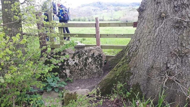
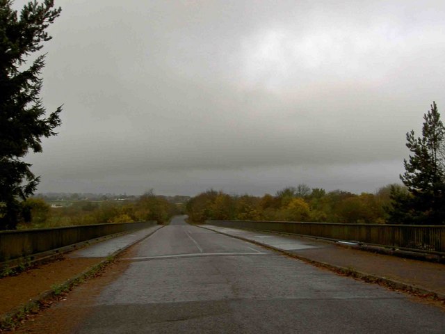
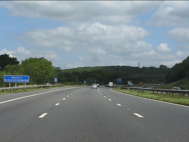
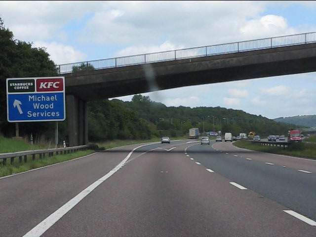
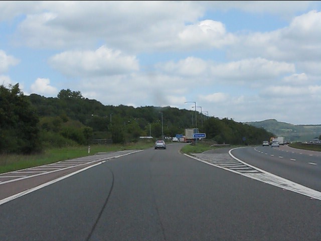
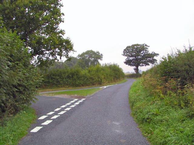
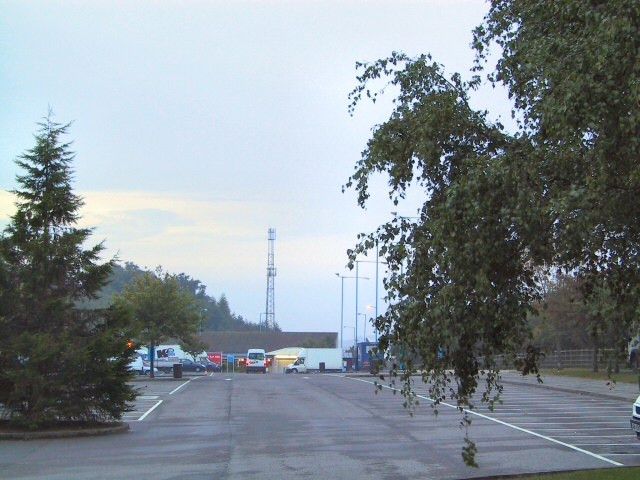
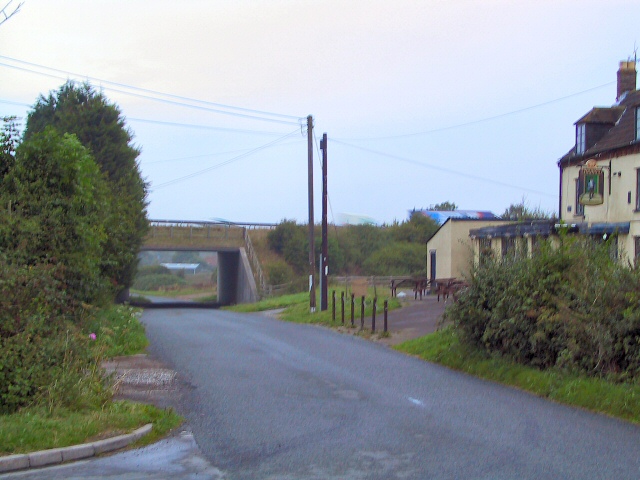
Sweetbrier Brake Images

Images are sourced within 2km of 51.655034/-2.4098317 or Grid Reference ST7195. Thanks to Geograph Open Source API. All images are credited.

Michael Wood Services M5 at night
Service station at Michael Wood on the M5 Motorway at night
Michael Wood Services on the M5 Motorway at night
Southbound M5, Access to Michaelwood Services The M5 runs 163 miles from a junction with the M6 at West Bromwich near Birmingham to Exeter in Devon. Constructed between 1962 & 1977. It links the North and Midlands with the South west. <span class="nowrap"><a title="http://en.wikipedia.org/wiki/M5_motorway" rel="nofollow ugc noopener" href="http://en.wikipedia.org/wiki/M5_motorway">Link</a><img style="margin-left:2px;" alt="External link" title="External link - shift click to open in new window" src="https://s1.geograph.org.uk/img/external.png" width="10" height="10"/></span>
Southbound M5, Access to Michaelwood Services
The M5 runs 163 miles from a junction with the M6 at West Bromwich near Birmingham to Exeter in Devon. Constructed between 1962 & 1977. It links the North and Midlands with the South west. LinkExternal link
Stone Stile, North Nibley At the junction of  Gloucestershire footpaths CNN48, CNN49 & CNN25 near Daisy Farm.
Stone Stile, North Nibley
At the junction of Gloucestershire footpaths CNN48, CNN49 & CNN25 near Daisy Farm.
West towards the lorry park in Michaelwood Services Northbound Michaelwood Services are alongside the M5 motorway in Gloucestershire.
West towards the lorry park in Michaelwood Services Northbound
Michaelwood Services are alongside the M5 motorway in Gloucestershire.
Notice on a car park lamppost in Michaelwood Services Northbound In July 2022 the notice shows "2 Hours Free Parking" and lists the charges payable for vehicles parking here for more than two hours. Michaelwood Services are alongside the M5 motorway in Gloucestershire.
Notice on a car park lamppost in Michaelwood Services Northbound
In July 2022 the notice shows "2 Hours Free Parking" and lists the charges payable for vehicles parking here for more than two hours. Michaelwood Services are alongside the M5 motorway in Gloucestershire.
Towards the main buildings in Michaelwood Services Northbound In the background in July 2022 are M&S Food on the left and Waitrose in the middle. Michaelwood Services are alongside the M5 motorway in Gloucestershire.
Towards the main buildings in Michaelwood Services Northbound
In the background in July 2022 are M&S Food on the left and Waitrose in the middle. Michaelwood Services are alongside the M5 motorway in Gloucestershire.
M5 Service View The view of Michaelwood services on M5 motorway.
M5 Service View
The view of Michaelwood services on M5 motorway.
Damery Lane crosses the M5 motorway Michael Wood services is very close by.
Damery Lane crosses the M5 motorway
Michael Wood services is very close by.
Welcome to Gloucestershire A friendly sign on the northbound M5, a few hundred yards south of Michaelwood Services.
Welcome to Gloucestershire
A friendly sign on the northbound M5, a few hundred yards south of Michaelwood Services.
M5 Motorway - sign & bridge south of Michaelwood Services Starbucks and KFC. Yummy!
M5 Motorway - sign & bridge south of Michaelwood Services
Starbucks and KFC. Yummy!
M5 Michaelwood Services - northbound entrance slip road
Rural Intersection The junction of Swanley Lane with Haycroft Lane. As is common in such rural backwaters, there are no signposts.
Rural Intersection
The junction of Swanley Lane with Haycroft Lane. As is common in such rural backwaters, there are no signposts.
Michael Wood Services The car park on the motorway services at Michael Wood on the M5. Not many visitors at this time of the morning - 6.30 a.m.
Michael Wood Services
The car park on the motorway services at Michael Wood on the M5. Not many visitors at this time of the morning - 6.30 a.m.
Pickwick Junction The service road from Michael Wood motorway services (southbound) emerges from the left, onto the lane which runs past Pickwick's pub and then under the M5 bridge seen here.
Pickwick Junction
The service road from Michael Wood motorway services (southbound) emerges from the left, onto the lane which runs past Pickwick's pub and then under the M5 bridge seen here.
Lower Wick Footpath Adjacent to Lower Wick Farm is this entry to the footpath leading across the field to join Haycroft Lane a little further west.
Lower Wick Footpath
Adjacent to Lower Wick Farm is this entry to the footpath leading across the field to join Haycroft Lane a little further west.
Damery Woodpeckers This lane at Damery leads down to the Little Avon river, but appears to be the drive to a private house.
Damery Woodpeckers
This lane at Damery leads down to the Little Avon river, but appears to be the drive to a private house.
Show me another place!

Sweetbrier Brake is located at Grid Ref: ST7195 (Lat: 51.655034, Lng: -2.4098317)

Administrative County: Gloucestershire

District: Stroud

Police Authority: Gloucestershire

What 3 Words

///drops.decays.gracing. Near Charfield, Gloucestershire

Related Wikis

Battle of Nibley Green

The Battle of Nibley Green was fought near North Nibley in Gloucestershire on 20 March 1470, between the troops of Thomas Talbot, 2nd Viscount Lisle and...

Lower Wick

Lower Wick is a small hamlet located in the county of Gloucestershire, England. It is situated about five miles south west of Dursley, eighteen miles southwest...

Damery Road Section

Damery Road Section (grid reference ST705943) is a 0.5-hectare (1.2-acre) geological Site of Special Scientific Interest north of Tortworth, South Gloucestershire...
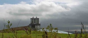
Swinhay House

Swinhay House is a futuristic building built for David McMurtry, an industrialist, in North Nibley near Wotton-under-Edge, Gloucestershire. == History... ==

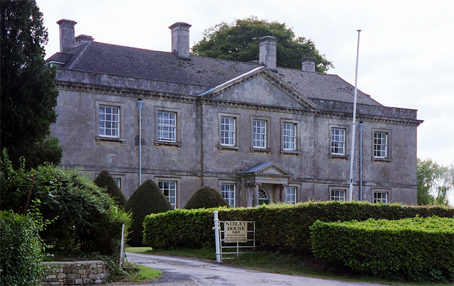
Nibley House, North Nibley

Nibley Hall, North Nibley in Gloucestershire is a Grade II* listed house on the English Heritage Register. The Neoclassical Georgian facade dates from...

Alkington, Gloucestershire

Alkington is a civil parish in the district of Stroud, Gloucestershire. It had a population of 638 in the 2001 census, increasing to 688 at the 2011 census...
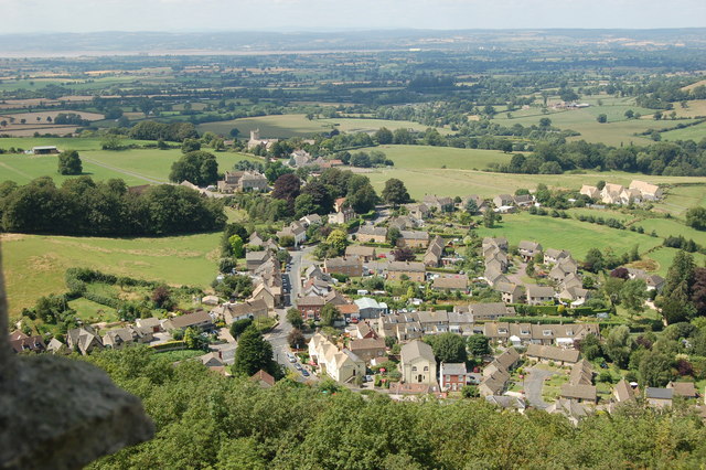
North Nibley

North Nibley is a village in Gloucestershire, England about 1.9 miles (3 km) northwest of Wotton-under-Edge. == Name == The village is commonly known as...

Cullimore's Quarry

Cullimore's Quarry (grid reference ST721927) is a 0.9 hectare geological Site of Special Scientific Interest near the village of Charfield, South Gloucestershire...

Related Videos

Tyndale Monument, North Nibley.

There are some fantastic views around the Tyndale Monument on the Cotswold way Here is some drone footage and a few ...

Rainbow + Monument = Cotswold Way Views! William Tyndale Monument Views! #marathon #therapy

Information about both #theconquerorchallenges & William Tyndale monument below Snag 10% off your 1st marathon with my ...

Nearby Amenities

Located within 500m of 51.655034,-2.4098317
Power: tower
Source: Bing
Lat/Long: 51.6560412/-2.4048573
Power: tower
Source: Bing
Lat/Long: 51.6572711/-2.4045936
Power: tower
Source: Bing
Lat/Long: 51.6524364/-2.4056507
Power: tower
Source: Bing
Lat/Long: 51.6543478/-2.405215
Michaelwood Airstrip
Aeroway: airstrip
Lat/Long: 51.6564106/-2.4096879
The data included in this document is from www.openstreetmap.org. The data is made available under ODbL.

Have you been to Sweetbrier Brake?

Leave your review of Sweetbrier Brake below (or comments, questions and feedback).