Furzeground Wood

Wood, Forest in Gloucestershire Stroud

England

Furzeground Wood

Michael Wood Services M5 at night
Michael Wood Services M5 at night Credit: Roy Hughes

Furzeground Wood is a picturesque woodland located in Gloucestershire, England. Covering an area of approximately 100 acres, it is situated near the village of Furzehill and is a popular destination for nature enthusiasts and hikers alike.

The wood is predominantly composed of broadleaf trees, including oak, beech, and ash, which create a dense canopy above, allowing only dappled sunlight to filter through. This creates a serene and tranquil atmosphere for visitors to enjoy. The forest floor is rich in biodiversity, with a variety of wildflowers, ferns, and mosses thriving in the damp and shaded environment.

Multiple walking trails crisscross the woodland, providing visitors with the opportunity to explore and discover its hidden gems. These paths lead to a small stream that meanders through the wood, adding to its natural beauty. The stream is home to various species of aquatic life, including small fish and frogs.

Wildlife is abundant in Furzeground Wood, with numerous bird species inhabiting the trees, such as woodpeckers, warblers, and owls. Mammals such as foxes, badgers, and deer are also known to roam the wood, making it a haven for wildlife enthusiasts and photographers.

Furzeground Wood is a designated Site of Special Scientific Interest (SSSI), recognizing its importance in terms of conservation and ecological significance. Its untouched and pristine nature makes it a valuable habitat for rare and protected species, contributing to its overall importance within the region.

In conclusion, Furzeground Wood in Gloucestershire offers a peaceful retreat for nature lovers, boasting a diverse range of flora and fauna, scenic walking trails, and a sense of tranquility that is hard to find elsewhere.

If you have any feedback on the listing, please let us know in the comments section below.

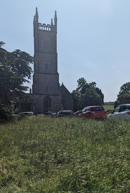
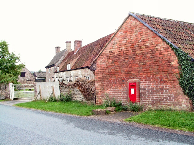
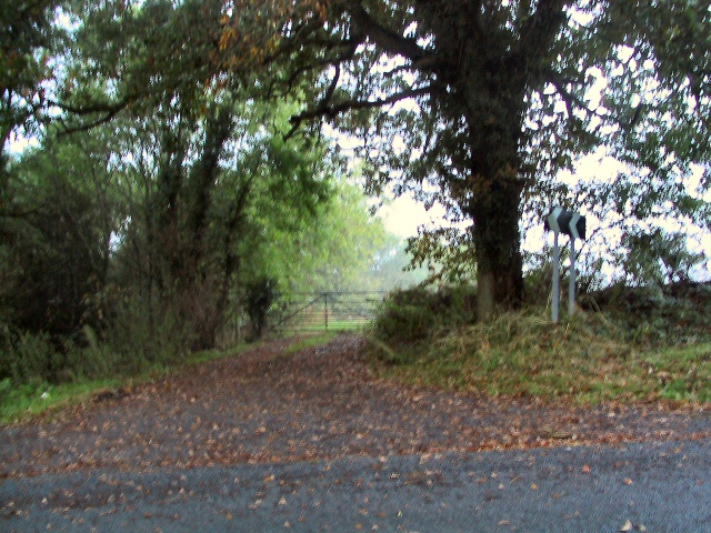
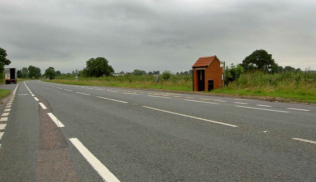
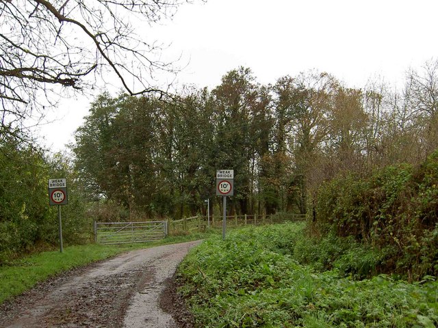
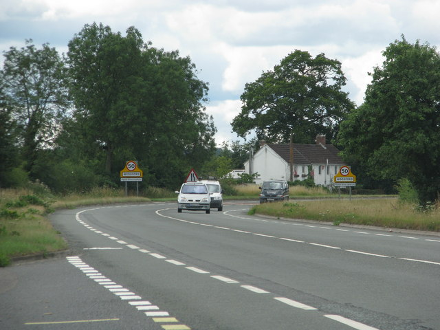
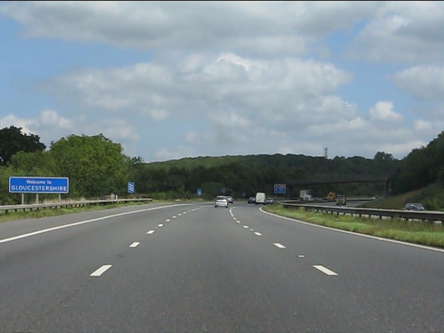
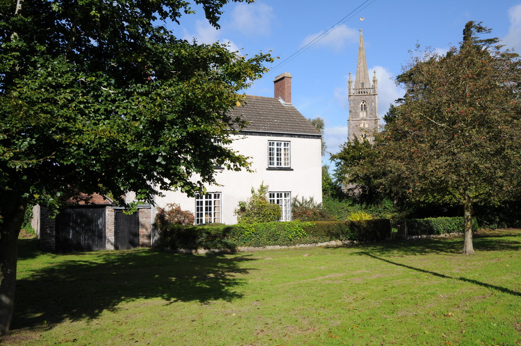
Furzeground Wood Images

Images are sourced within 2km of 51.654118/-2.419754 or Grid Reference ST7195. Thanks to Geograph Open Source API. All images are credited.

Michael Wood Services M5 at night
Service station at Michael Wood on the M5 Motorway at night
Michael Wood Services on the M5 Motorway at night
Southbound M5, Access to Michaelwood Services The M5 runs 163 miles from a junction with the M6 at West Bromwich near Birmingham to Exeter in Devon. Constructed between 1962 & 1977. It links the North and Midlands with the South west. <span class="nowrap"><a title="http://en.wikipedia.org/wiki/M5_motorway" rel="nofollow ugc noopener" href="http://en.wikipedia.org/wiki/M5_motorway">Link</a><img style="margin-left:2px;" alt="External link" title="External link - shift click to open in new window" src="https://s1.geograph.org.uk/img/external.png" width="10" height="10"/></span>
Southbound M5, Access to Michaelwood Services
The M5 runs 163 miles from a junction with the M6 at West Bromwich near Birmingham to Exeter in Devon. Constructed between 1962 & 1977. It links the North and Midlands with the South west. LinkExternal link
West towards the lorry park in Michaelwood Services Northbound Michaelwood Services are alongside the M5 motorway in Gloucestershire.
West towards the lorry park in Michaelwood Services Northbound
Michaelwood Services are alongside the M5 motorway in Gloucestershire.
Notice on a car park lamppost in Michaelwood Services Northbound In July 2022 the notice shows "2 Hours Free Parking" and lists the charges payable for vehicles parking here for more than two hours. Michaelwood Services are alongside the M5 motorway in Gloucestershire.
Notice on a car park lamppost in Michaelwood Services Northbound
In July 2022 the notice shows "2 Hours Free Parking" and lists the charges payable for vehicles parking here for more than two hours. Michaelwood Services are alongside the M5 motorway in Gloucestershire.
Towards the main buildings in Michaelwood Services Northbound In the background in July 2022 are M&S Food on the left and Waitrose in the middle. Michaelwood Services are alongside the M5 motorway in Gloucestershire.
Towards the main buildings in Michaelwood Services Northbound
In the background in July 2022 are M&S Food on the left and Waitrose in the middle. Michaelwood Services are alongside the M5 motorway in Gloucestershire.
M5 Service View The view of Michaelwood services on M5 motorway.
M5 Service View
The view of Michaelwood services on M5 motorway.
Church tower, Tortworth, South Gloucestershire On the west side of Grade II (Star) Listed St Leonard's Church
in the Church of England Diocese of Gloucester.
Church tower, Tortworth, South Gloucestershire
On the west side of Grade II (Star) Listed St Leonard's Church in the Church of England Diocese of Gloucester.
Damery Lane Postbox This postbox near Woodford is set into the wall of the barn at Holly Tree Farm.
Damery Lane Postbox
This postbox near Woodford is set into the wall of the barn at Holly Tree Farm.
Damery Lane at Dawn Still shrouded in mist, dew dripping from the trees overhead, this sharp bend on Damery lane takes it sharply away from the nearby roar of the M5 motorway, which it has just crossed, and eastward into the hamlet of Damery. Through the gate into the field takes the footpath down towards, and under the M5. Not a route for the faint-hearted.
Damery Lane at Dawn
Still shrouded in mist, dew dripping from the trees overhead, this sharp bend on Damery lane takes it sharply away from the nearby roar of the M5 motorway, which it has just crossed, and eastward into the hamlet of Damery. Through the gate into the field takes the footpath down towards, and under the M5. Not a route for the faint-hearted.
Bus shelter on the A38 Near to Newport.
Bus shelter on the A38
Near to Newport.
Damery Lane crosses the M5 motorway Michael Wood services is very close by.
Damery Lane crosses the M5 motorway
Michael Wood services is very close by.
Weak bridge ahead on Middle Mill Lane near Stone Gloucestershire
Approach to Woodford along the A38
M5 Motorway in a cutting
Welcome to Gloucestershire A friendly sign on the northbound M5, a few hundred yards south of Michaelwood Services.
Welcome to Gloucestershire
A friendly sign on the northbound M5, a few hundred yards south of Michaelwood Services.
M5 Motorway - sign & bridge south of Michaelwood Services Starbucks and KFC. Yummy!
M5 Motorway - sign & bridge south of Michaelwood Services
Starbucks and KFC. Yummy!
Show me another place!

Furzeground Wood is located at Grid Ref: ST7195 (Lat: 51.654118, Lng: -2.419754)

Administrative County: Gloucestershire

District: Stroud

Police Authority: Gloucestershire

What 3 Words

///ramming.showcases.string. Near Charfield, Gloucestershire

Related Wikis

Damery Road Section

Damery Road Section (grid reference ST705943) is a 0.5-hectare (1.2-acre) geological Site of Special Scientific Interest north of Tortworth, South Gloucestershire...

Lower Wick

Lower Wick is a small hamlet located in the county of Gloucestershire, England. It is situated about five miles south west of Dursley, eighteen miles southwest...

Battle of Nibley Green

The Battle of Nibley Green was fought near North Nibley in Gloucestershire on 20 March 1470, between the troops of Thomas Talbot, 2nd Viscount Lisle and...

Alkington, Gloucestershire

Alkington is a civil parish in the district of Stroud, Gloucestershire. It had a population of 638 in the 2001 census, increasing to 688 at the 2011 census...

Swinhay House

Swinhay House is a futuristic building built for David McMurtry, an industrialist, in North Nibley near Wotton-under-Edge, Gloucestershire. == History... ==

Tortworth

Tortworth is a small village and civil parish, near Thornbury in Gloucestershire, England. It has a population of 147 as of 2011. It lies on the B4509...

Cullimore's Quarry

Cullimore's Quarry (grid reference ST721927) is a 0.9 hectare geological Site of Special Scientific Interest near the village of Charfield, South Gloucestershire...

Stone, Gloucestershire

Stone is a small village in the parish of Ham and Stone, Gloucestershire, England. It stands on the A38 road, just south-west of its crossing of the Little...

Nearby Amenities

Located within 500m of 51.654118,-2.419754
The data included in this document is from www.openstreetmap.org. The data is made available under ODbL.

Have you been to Furzeground Wood?

Leave your review of Furzeground Wood below (or comments, questions and feedback).