Mill Coppice

Wood, Forest in Worcestershire Malvern Hills

England

Mill Coppice

Hops no more Where once there were these <a title="https://www.geograph.org.uk/photo/813175" href="https://www.geograph.org.uk/photo/813175">Link</a> there is now simply a ploughed field.  Farming economics can be brutal.
Hops no more Credit: Peter Whatley

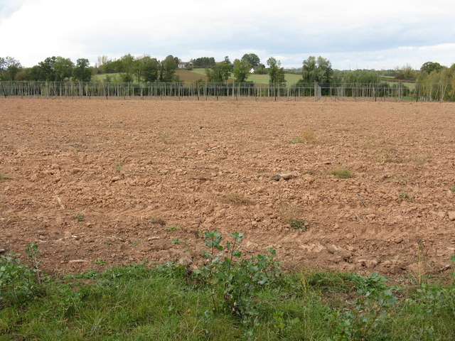
Mill Coppice is a picturesque woodland located in Worcestershire, England. Covering an area of approximately 50 acres, it is known for its rich biodiversity and scenic beauty. The coppice is situated near the village of Mill, and its name is derived from an old watermill that once operated in the area.

The woodland is predominantly composed of native tree species such as oak, ash, and beech, creating a diverse and thriving ecosystem. The dense canopy provides shelter for a variety of wildlife, including birds, mammals, and insects. Visitors to Mill Coppice can expect to encounter species such as woodpeckers, squirrels, and butterflies, making it a popular destination for nature enthusiasts and birdwatchers.

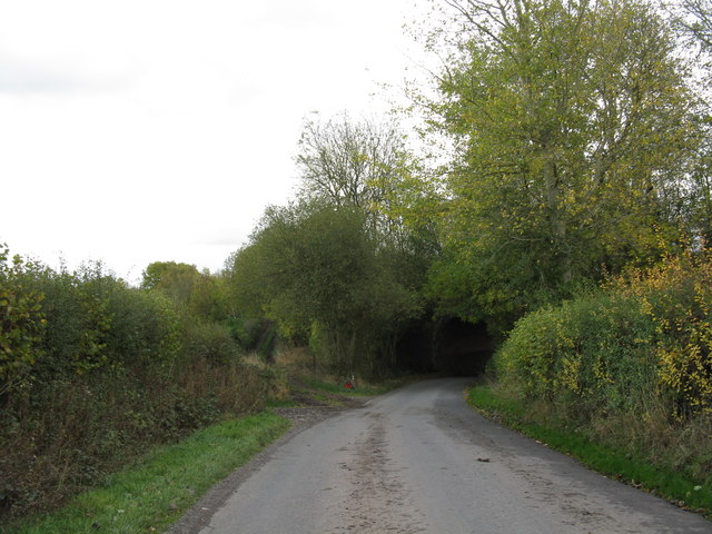
Tranquil pathways wind through the coppice, allowing visitors to explore and appreciate the natural surroundings. The woodland is well-maintained, with clear signposts and information boards providing insights into the flora and fauna found within. There are also designated picnic areas where visitors can relax and enjoy the peaceful ambiance.

Mill Coppice offers a range of activities for visitors of all ages. Families can enjoy nature walks, spotting wildlife and identifying different tree species along the way. The woodland also provides a perfect backdrop for photography and painting enthusiasts. Additionally, the coppice hosts educational programs and workshops, aiming to raise awareness about the importance of woodland conservation and preservation.

Overall, Mill Coppice in Worcestershire is a haven of natural beauty, offering a peaceful escape from the hustle and bustle of everyday life. Its diverse ecosystem and well-maintained trails make it a must-visit destination for those seeking a connection with nature.

If you have any feedback on the listing, please let us know in the comments section below.
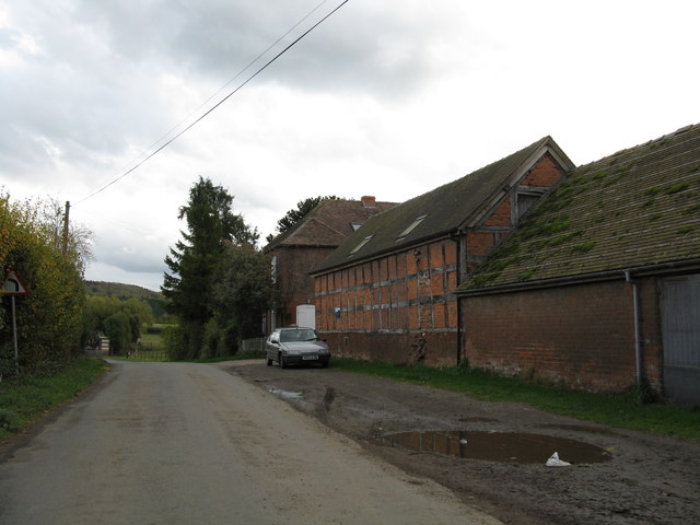
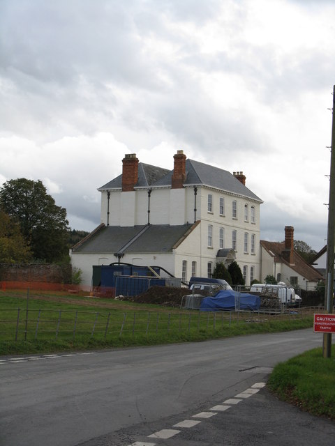
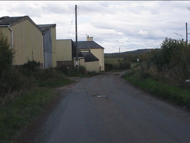
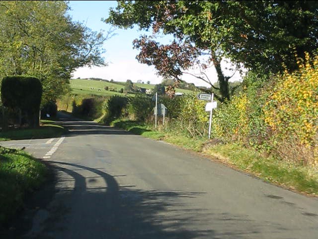
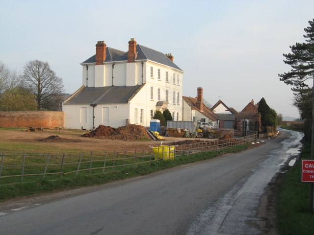
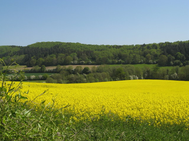
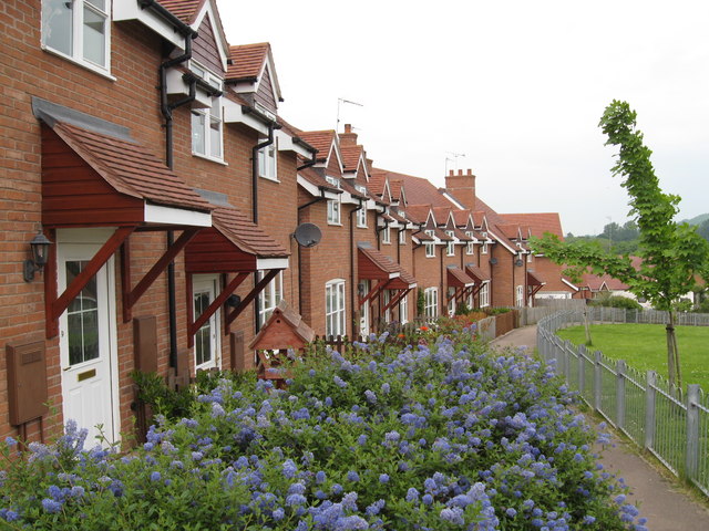
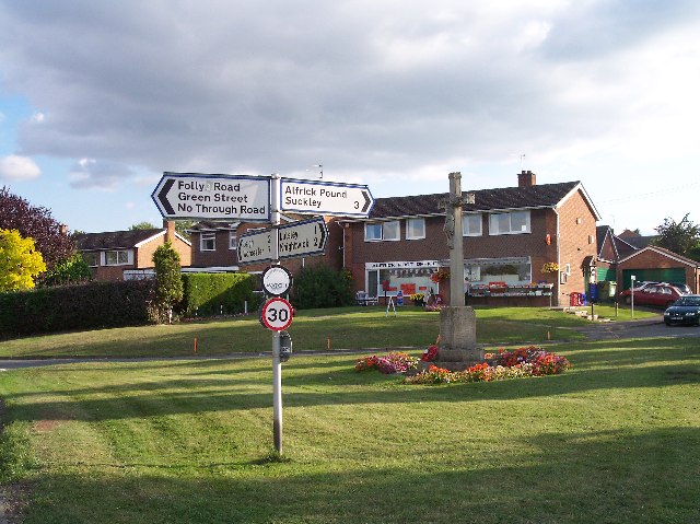
Mill Coppice Images

Images are sourced within 2km of 52.162077/-2.4245631 or Grid Reference SO7151. Thanks to Geograph Open Source API. All images are credited.

Hops no more Where once there were these <a title="https://www.geograph.org.uk/photo/813175" href="https://www.geograph.org.uk/photo/813175">Link</a> there is now simply a ploughed field.  Farming economics can be brutal.
Hops no more
Where once there were these Link there is now simply a ploughed field. Farming economics can be brutal.
The big field in October A huge field extending from Stocks Cross to Down's Bridge.
The big field in October
A huge field extending from Stocks Cross to Down's Bridge.
Lane at Yearsett The track rising on the left gives access to the old railway line, now used as a farm track, at the site of the temporary station of Yearsett, in use 1874-77.
Lane at Yearsett
The track rising on the left gives access to the old railway line, now used as a farm track, at the site of the temporary station of Yearsett, in use 1874-77.
Worcester & Bromyard railway bridge, Yearsett One of several expensive structures on the line.
Worcester & Bromyard railway bridge, Yearsett
One of several expensive structures on the line.
Cross Keys Inn, Suckley Knowl One of two pubs in Suckley, both of which are at the extremities of the parish.
Cross Keys Inn, Suckley Knowl
One of two pubs in Suckley, both of which are at the extremities of the parish.
Lower House Farm
Lower House Farm
The White House
The White House
Woodland Road, Suckley
Lower half of Stocks Crossroads, Suckley Although always referred to as a crossroads, on the ground there are two T-junctions separated by this short stretch of road.
Lower half of Stocks Crossroads, Suckley
Although always referred to as a crossroads, on the ground there are two T-junctions separated by this short stretch of road.
Lower Yearsett Farm
Lower Yearsett Farm
Lane junction for Lower Barrow
The big field in November
More work at The White House Although internal work to restore The White House finished over 2 years ago, external work continues. A new iron railing boundary fence and matching gates have been installed alongside Knightwick Road.
More work at The White House
Although internal work to restore The White House finished over 2 years ago, external work continues. A new iron railing boundary fence and matching gates have been installed alongside Knightwick Road.
New garden wall at The White House The whole garden wall is being repaired including reconstruction where necessary, and repointed using materials appropriate to the original construction.
New garden wall at The White House
The whole garden wall is being repaired including reconstruction where necessary, and repointed using materials appropriate to the original construction.
New gates at The White House Part of the 2011/12 renovation of external walls at the property.
New gates at The White House
Part of the 2011/12 renovation of external walls at the property.
Oast Houses west of Stocks Cross Converted oast houses on the road to Acton Beauchamp.  They are now apartments and a pre-school facility.
Oast Houses west of Stocks Cross
Converted oast houses on the road to Acton Beauchamp. They are now apartments and a pre-school facility.
Suckley school & church A long-lens shot of the school (centre) with Suckley Church to its right.  Unlike the "classic" English village, Suckley has no obvious centre.  The school and church stand in an isolated position with a farm and a few houses as neighbours.
Suckley school & church
A long-lens shot of the school (centre) with Suckley Church to its right. Unlike the "classic" English village, Suckley has no obvious centre. The school and church stand in an isolated position with a farm and a few houses as neighbours.
Field of rapeseed before the Suckley Hills
Show me another place!

Mill Coppice is located at Grid Ref: SO7151 (Lat: 52.162077, Lng: -2.4245631)

Administrative County: Worcestershire

District: Malvern Hills

Police Authority: West Mercia

What 3 Words

///foiled.maker.suspends. Near Evesbatch, Herefordshire

Nearby Locations

Mill Coppice

Related Wikis

Suckley

Suckley is a village and civil parish in the Malvern Hills District in the county of Worcestershire, England, close to the border with Herefordshire....

Yearsett railway station

Yearsett railway station was a station to the southeast of Brockhampton, Herefordshire, England. The station was opened on 2 May 1874 as a temporary terminus...

Acton Green, Herefordshire

Acton Green is a village in the north east of the English county of Herefordshire (historically Worcestershire) between Bromyard and Great Malvern. �...

Stanford Bishop

Stanford Bishop is a village and civil parish 13 miles (21 km) north east of Hereford, in the county of Herefordshire, England. In 2011 the parish had...

Suckley railway station

Suckley railway station was a station in Suckley, Worcestershire, England. The station was opened on 1 March 1878 and closed on 7 September 1964. ��2...

Alfrick

Alfrick is a village and civil parish in the Malvern Hills district of Worcestershire, England, about seven miles west of Worcester. == Amenities == The...

Alfrick Pound

Alfrick Pound is a small village in the county of Worcestershire, England, in the United Kingdom. == Location == Alfrick Pound village is located on the...

Linton (near Bromyard)

Linton is a civil parish in north-east of Herefordshire, England, and is approximately 14 miles (23 km) north-east from the city and county town of Hereford...

Nearby Amenities

Located within 500m of 52.162077,-2.4245631
Power: pole
Lat/Long: 52.1647852/-2.4249368
Power: pole
Lat/Long: 52.163854/-2.4261868
Power: pole
Lat/Long: 52.163173/-2.427077
Power: pole
Lat/Long: 52.1621231/-2.4291479
Power: pole
Lat/Long: 52.1610076/-2.4313473
Power: pole
Lat/Long: 52.1657164/-2.4236279
Power: pole
Lat/Long: 52.1616756/-2.4300491
Suckley Court
Power: pole
Transformer: distribution
Voltage Primary: 11000
Lat/Long: 52.1589408/-2.4212133
Power: pole
Lat/Long: 52.1583994/-2.4210175
The data included in this document is from www.openstreetmap.org. The data is made available under ODbL.

Have you been to Mill Coppice?

Leave your review of Mill Coppice below (or comments, questions and feedback).