Furge Plantation

Wood, Forest in Dorset

England

Furge Plantation

House on Shaftesbury Road
House on Shaftesbury Road Credit: Roger Cornfoot

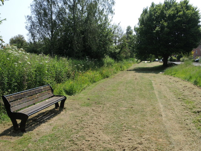
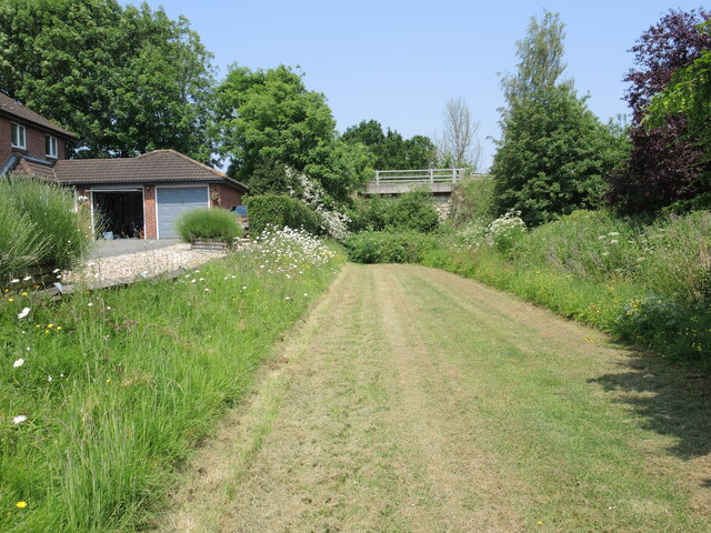
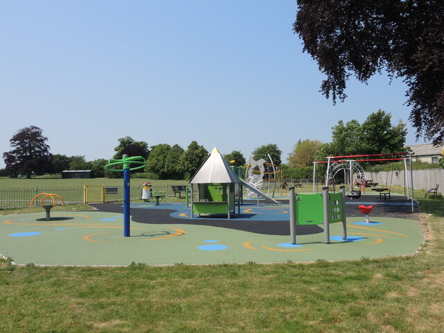
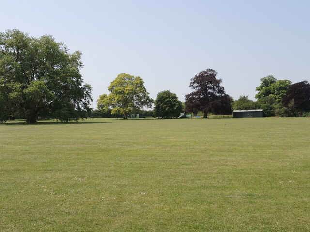
Furge Plantation is a picturesque woodland located in Dorset, England. Situated near the village of Wood, this forested area covers a vast expanse of approximately 500 acres. The plantation is known for its diverse range of tree species and is a popular destination for nature enthusiasts and hikers.

The woodland is predominantly made up of native British trees, including oak, beech, and birch. These majestic trees provide a stunning canopy that offers shade on sunny days and a sense of tranquility. Furge Plantation is also home to a variety of wildlife, with frequent sightings of deer, foxes, and numerous bird species.

Visitors to Furge Plantation can explore the vast network of walking trails that meander through the woodland. These well-maintained paths cater to different fitness levels and provide opportunities for both leisurely strolls and more challenging hikes. Along the way, visitors can admire the natural beauty of the forest, including vibrant wildflowers and the occasional babbling brook.

The plantation is managed by the local forestry commission, who ensure the preservation of the woodland and its inhabitants. They also organize educational programs and guided tours to raise awareness about the importance of forests in maintaining a healthy ecosystem.

Furge Plantation offers a peaceful retreat for those seeking solace in nature. Its natural beauty and abundant wildlife make it a must-visit destination for anyone exploring the Dorset countryside.

If you have any feedback on the listing, please let us know in the comments section below.

Furge Plantation Images

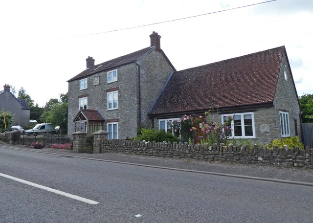
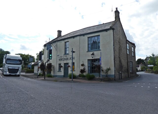
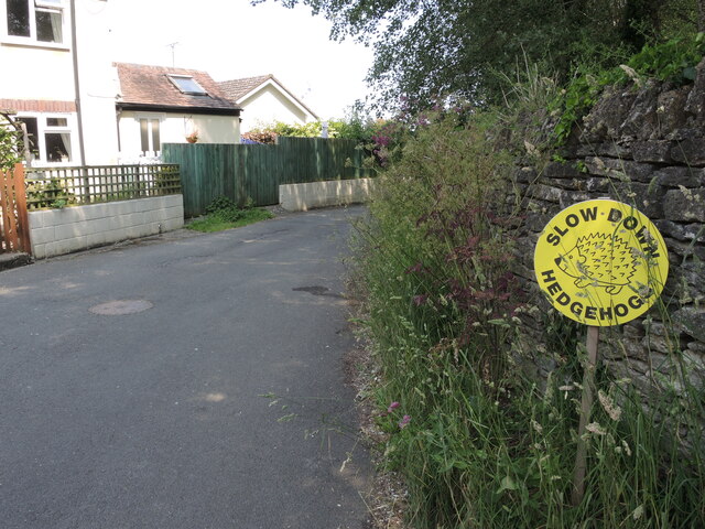
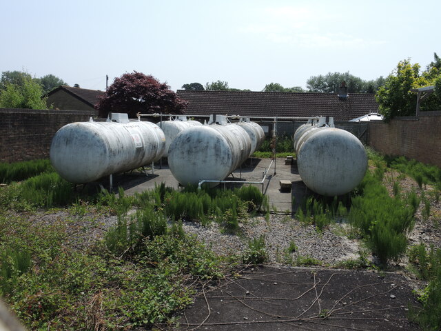
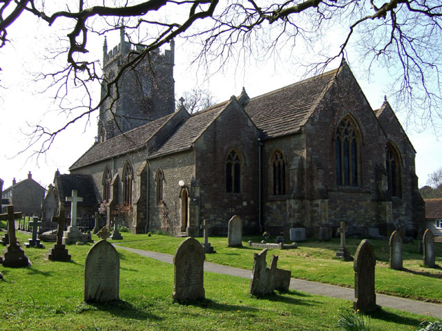
Images are sourced within 2km of 50.964484/-2.4038217 or Grid Reference ST7118. Thanks to Geograph Open Source API. All images are credited.

House on Shaftesbury Road
'Virginia Ash', Henstridge
Help for hedgehogs Henstridge has made great efforts to protect the diminishing creatures.
Help for hedgehogs
Henstridge has made great efforts to protect the diminishing creatures.
Gas tanks in Henstridge A local supply of Liquefied Petroleum Gas from several large storage tanks.
Gas tanks in Henstridge
A local supply of Liquefied Petroleum Gas from several large storage tanks.
A seat on the tracks The greenery and public seating on the outskirts of Henstridge belie the fact that this was the line of the old Somerset and Dorset Railway. At the end of this stretch was the old Henstridge station - now lost.
A seat on the tracks
The greenery and public seating on the outskirts of Henstridge belie the fact that this was the line of the old Somerset and Dorset Railway. At the end of this stretch was the old Henstridge station - now lost.
A view to Shaftesbury Road bridge The narrow but straight grass strip is the route of the former Somerset and Dorset railway line that ran through Henstridge, passing under the road bridge.
A view to Shaftesbury Road bridge
The narrow but straight grass strip is the route of the former Somerset and Dorset railway line that ran through Henstridge, passing under the road bridge.
Bike House An older house in Henstridge has a decorative datestone: see <a href="https://www.geograph.org.uk/photo/7566113">ST7220 : A wheeler's home</a>.
Bike House
An older house in Henstridge has a decorative datestone: see ST7220 : A wheeler's home.
A wheeler's home The datestone oF Bike House bears relevance. See <a href="https://www.geograph.org.uk/photo/7566108">ST7220 : Bike House</a> for a wider view.
A wheeler's home
The datestone oF Bike House bears relevance. See ST7220 : Bike House for a wider view.
Henstridge helps hedgehogs Along with nearby Stallbridge, the village has lots of signs out to protect the little creatures.
Henstridge helps hedgehogs
Along with nearby Stallbridge, the village has lots of signs out to protect the little creatures.
New building at the crossroads Henstridge Ash is getting a little more construction beside the restaurant.
New building at the crossroads
Henstridge Ash is getting a little more construction beside the restaurant.
Virginia Ash The pub at the crossroads is a long-established venue, with a reputation for using quality local food and ingredients. It also holds bingo nights and 'all you can eat' themed menus.
Virginia Ash
The pub at the crossroads is a long-established venue, with a reputation for using quality local food and ingredients. It also holds bingo nights and 'all you can eat' themed menus.
Henstridge village hall The wooden hall was built in 1972 and has two separate halls, each with catering facilities.
Henstridge village hall
The wooden hall was built in 1972 and has two separate halls, each with catering facilities.
Henstridge play area A small play space by the village hall for the little ones.
Henstridge play area
A small play space by the village hall for the little ones.
Covered ramp entrance to the hall Henstridge village hall has a covered disabled entrance ramp and the customary defibrillator. It also has sports changing rooms this side.
Covered ramp entrance to the hall
Henstridge village hall has a covered disabled entrance ramp and the customary defibrillator. It also has sports changing rooms this side.
Petonque at the back of the hall Henstridge embraces some continental style.
Petonque at the back of the hall
Henstridge embraces some continental style.
Henstridge playing ground Several sports are offered here, along with the skate park and pump track further up by the trees.
Henstridge playing ground
Several sports are offered here, along with the skate park and pump track further up by the trees.
Booster by the village hall A water booster station in the hall car park.
Booster by the village hall
A water booster station in the hall car park.
St Nicholas Church of England V.C. Primary School The village school lies on the main road and is closely allied to the church.
St Nicholas Church of England V.C. Primary School
The village school lies on the main road and is closely allied to the church.
Show me another place!

Furge Plantation is located at Grid Ref: ST7118 (Lat: 50.964484, Lng: -2.4038217)

Unitary Authority: Dorset

Police Authority: Dorset

What 3 Words

///beauty.siblings.snowballs. Near Henstridge, Somerset

Nearby Locations

Furge Plantation

Related Wikis

Henstridge

Henstridge is a village and civil parish in Somerset, England, situated 5 miles (8.0 km) east of Sherborne in the South Somerset district, near the border...

Church of St Nicholas, Henstridge

The Church of St Nicholas in Henstridge, Somerset, England was built in the 12th century. It is a Grade II* listed building. == History == The church was...

Yenston

Yenston is a small hamlet in Somerset within the Parish of Henstridge. Located on the A357, the hamlet is located between Templecombe and Henstridge....

Stalbridge

Stalbridge () is a town and civil parish in Dorset, England, situated in the Blackmore Vale, near the border with Somerset. In the 2011 census the civil...

Nearby Amenities

Located within 500m of 50.964484,-2.4038217
Power: pole
Source: bing
Lat/Long: 50.9628969/-2.4053876
Power: pole
Source: bing
Lat/Long: 50.9622676/-2.4057122
Power: pole
Source: bing
Lat/Long: 50.9616856/-2.4060126
Power: pole
Source: bing
Lat/Long: 50.9610597/-2.4063371
The data included in this document is from www.openstreetmap.org. The data is made available under ODbL.

Have you been to Furge Plantation?

Leave your review of Furge Plantation below (or comments, questions and feedback).