Armaside Wood

Wood, Forest in Westmorland Eden

England

Armaside Wood

Blossom on Access Land, Little Asby
Blossom on Access Land, Little Asby Credit: David Brown

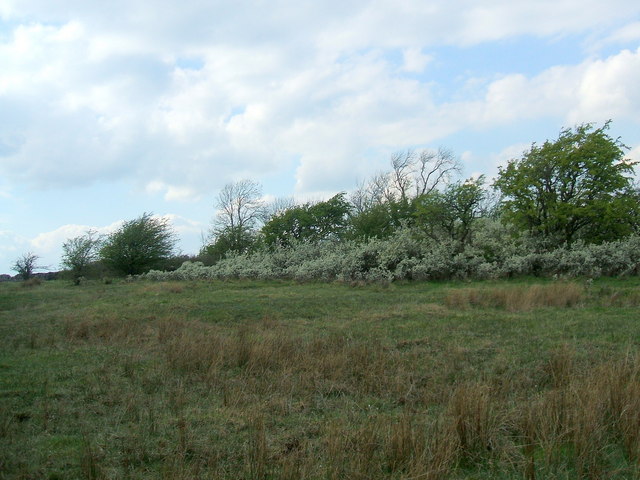
Armaside Wood is a picturesque forest located in the county of Westmorland, England. Covering an area of approximately 100 acres, this woodland is a haven for nature enthusiasts and outdoor adventurers alike.

The wood is known for its diverse range of tree species, including oak, birch, and beech. The towering trees create a dense canopy, providing shade and shelter for a variety of wildlife. Visitors to Armaside Wood can expect to see an array of birds, such as woodpeckers, thrushes, and owls, as well as small mammals like squirrels and rabbits.

Tranquil walking trails wind through the forest, offering visitors the opportunity to immerse themselves in the natural beauty of the surroundings. The paths are well-maintained and suitable for all ages and fitness levels, making it an ideal destination for families and nature enthusiasts.

Armaside Wood also boasts a rich history, with evidence of human occupation dating back to prehistoric times. Archaeological finds, including flint tools and pottery fragments, have been discovered in the area, providing insight into the lives of ancient inhabitants.

Visitors to Armaside Wood can enjoy a variety of recreational activities, such as picnicking, birdwatching, and photography. The peaceful ambiance and stunning scenery make it a popular spot for nature lovers seeking a tranquil escape from the hustle and bustle of everyday life.

In conclusion, Armaside Wood is a captivating forest in Westmorland, offering a combination of natural beauty, diverse wildlife, and historical significance. It is a must-visit destination for anyone seeking a peaceful retreat in the heart of nature.

If you have any feedback on the listing, please let us know in the comments section below.

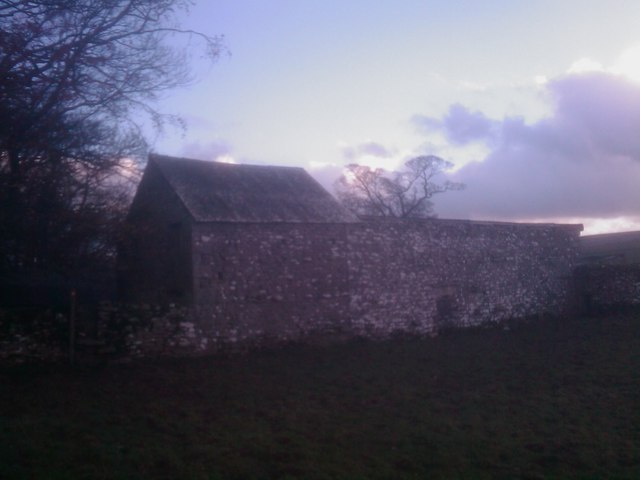
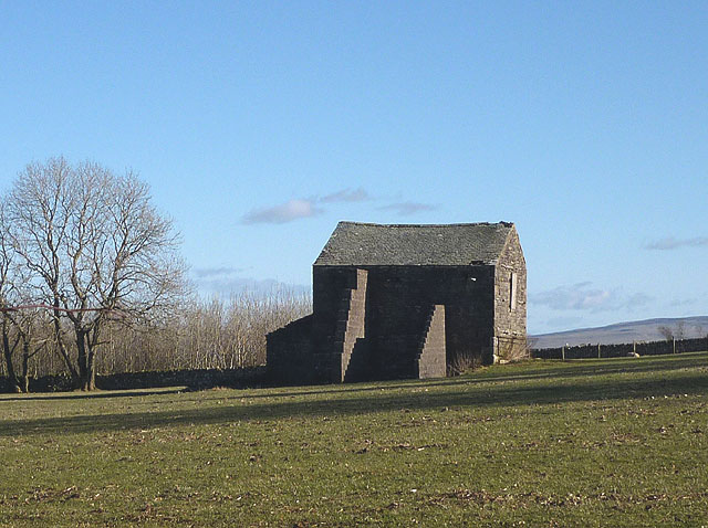
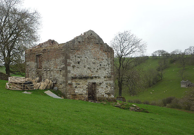
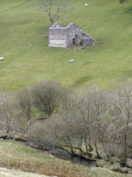
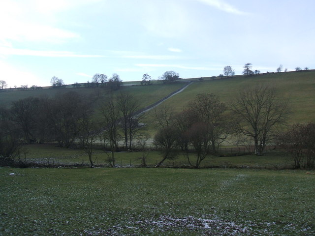
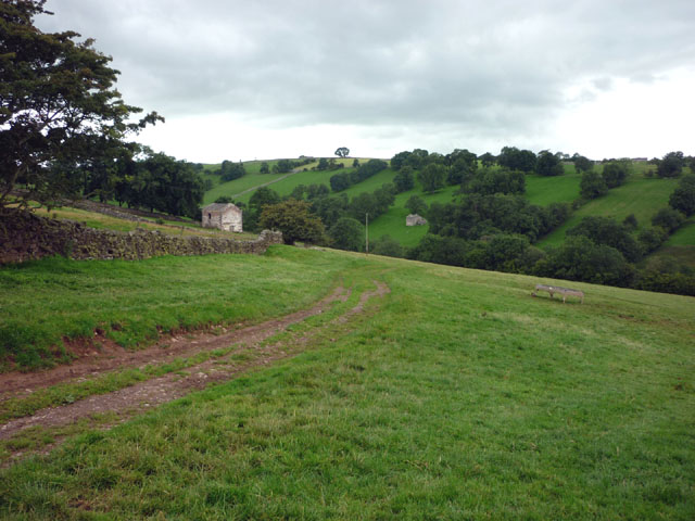
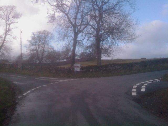
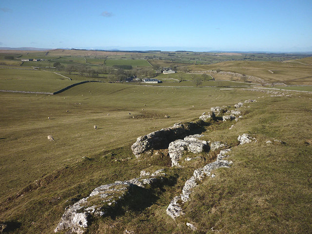
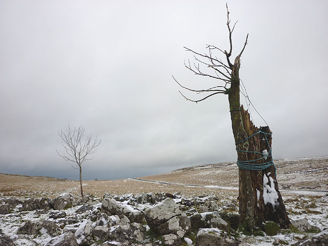
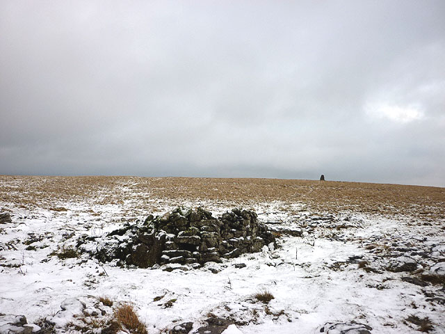
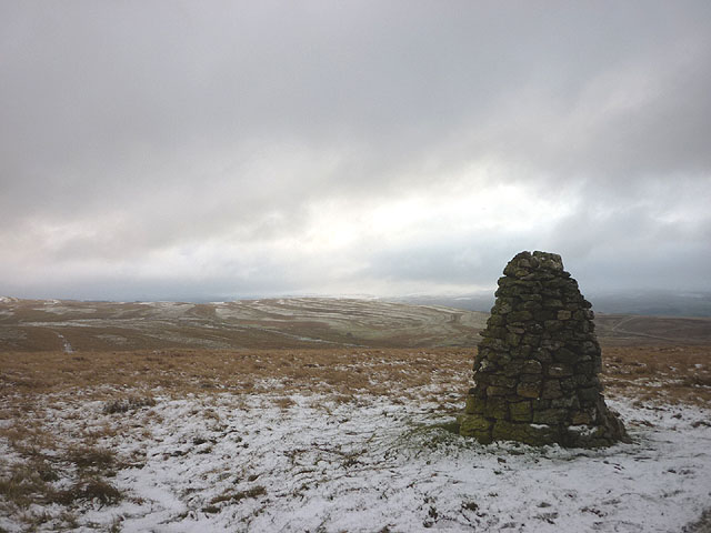
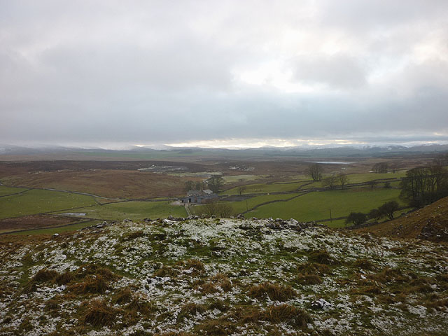
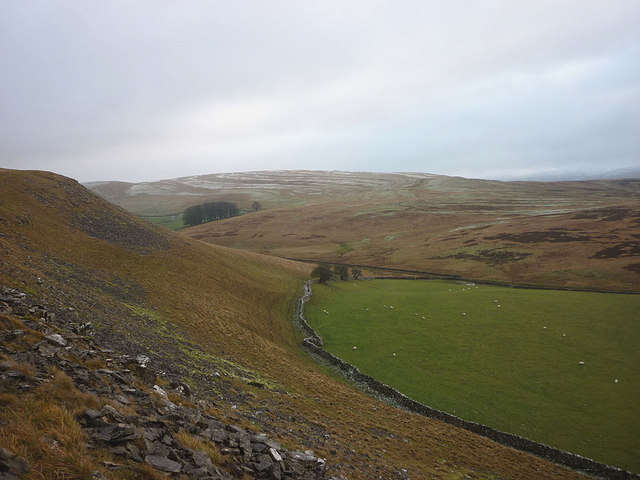
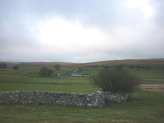
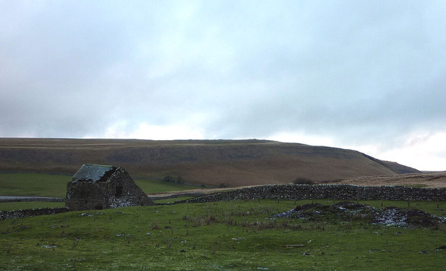
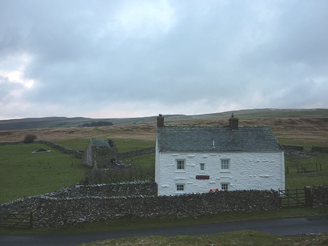
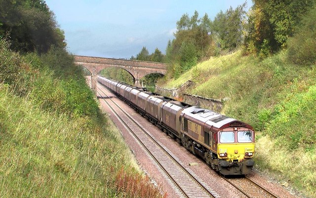
Armaside Wood Images

Images are sourced within 2km of 54.472753/-2.4590888 or Grid Reference NY7008. Thanks to Geograph Open Source API. All images are credited.

Blossom on Access Land, Little Asby
Barn at Burtree
Barn at Burtree
Buttressed barn north of Little Asby This reminded me of these structures <a title="https://www.geograph.org.uk/photo/2035139" href="https://www.geograph.org.uk/photo/2035139">Link</a> just a few kilometres away. Perhaps a rogue barn builder operated in these parts?
Buttressed barn north of Little Asby
This reminded me of these structures Link just a few kilometres away. Perhaps a rogue barn builder operated in these parts?
Destroyed barn, Potts Valley Three years ago this barn had a roof and looked to be in reasonable condition <a href="https://www.geograph.org.uk/photo/2035131">NY7110 : Track into Potts Valley</a> Now the roof is gone and the flags and slates are being crated up for disposal. One large roof beam was lying nearby but fire (recent judging by the smell and ashes) seems to have destroyed everything else inside. Note the similarly roofless barn on the opposite bank. Just up the track is <a href="https://www.geograph.org.uk/photo/1106163">NY7009 : Potts</a> farmstead, similarly abandoned and decaying.
Destroyed barn, Potts Valley
Three years ago this barn had a roof and looked to be in reasonable condition NY7110 : Track into Potts Valley Now the roof is gone and the flags and slates are being crated up for disposal. One large roof beam was lying nearby but fire (recent judging by the smell and ashes) seems to have destroyed everything else inside. Note the similarly roofless barn on the opposite bank. Just up the track is NY7009 : Potts farmstead, similarly abandoned and decaying.
Newclose Lane This lane leads up to Wander Bank Reservoir and offers fine views.
Newclose Lane
This lane leads up to Wander Bank Reservoir and offers fine views.
Disused Barn
Disused Barn
Fields in the Potts Valley
Track into Potts Valley
Road junction at Whygill Head
Limestone scar above Burtree Looking towards Asby Grange and Grange Hall down the line of the footpath which runs through Asby Gill to Great Asby.
Limestone scar above Burtree
Looking towards Asby Grange and Grange Hall down the line of the footpath which runs through Asby Gill to Great Asby.
Is this the 'Middle Busk'? This tree (bush/busk) is on its last legs (if trees have legs). Someone has gone to a lot of trouble to prevent it giving up the ghost. All that is left is a strip of bark tied to the remnant trunk with rope and a steel cable to hold it upright. If it is indeed the 'busk' that gives a name to the road pass then it may be very old.
Is this the 'Middle Busk'?
This tree (bush/busk) is on its last legs (if trees have legs). Someone has gone to a lot of trouble to prevent it giving up the ghost. All that is left is a strip of bark tied to the remnant trunk with rope and a steel cable to hold it upright. If it is indeed the 'busk' that gives a name to the road pass then it may be very old.
Small shelter, Little Asby Scar Ruinous and not much use. The summit cairn (356m) on the skyline.
Small shelter, Little Asby Scar
Ruinous and not much use. The summit cairn (356m) on the skyline.
Summit cairn, Little Asby Scar Looking over Potts Valley to Great Ewe Fell.
Summit cairn, Little Asby Scar
Looking over Potts Valley to Great Ewe Fell.
Prehistoric burial cairn above Mazon Wath Perched right on the edge of the slope above the upper Potts Valley. What a great view those dead people had, all the way to the Lakeland fells!
Prehistoric burial cairn above Mazon Wath
Perched right on the edge of the slope above the upper Potts Valley. What a great view those dead people had, all the way to the Lakeland fells!
Mazon Wath sheep pasture At the head of Potts Valley.
Mazon Wath sheep pasture
At the head of Potts Valley.
Wall corner at Fell Head Looking towards Mazon Wath.
Wall corner at Fell Head
Looking towards Mazon Wath.
Decrepit barn at Fell Head Looking towards Potts Valley.
Decrepit barn at Fell Head
Looking towards Potts Valley.
Fell Head No noisy neighbours here.
Fell Head
No noisy neighbours here.
Show me another place!

Armaside Wood is located at Grid Ref: NY7008 (Lat: 54.472753, Lng: -2.4590888)

Administrative County: Cumbria

District: Eden

Police Authority: Cumbria

What 3 Words

///shuffles.forkful.flicked. Near Kirkby Stephen, Cumbria

Nearby Locations

Potts Valley Armaside Wood

Related Wikis

Little Asby

Little Asby is a small village in Cumbria, England. Historically part of Westmorland, its name is said to be derived from the Norse words askr, meaning...

Crosby Garrett railway station

Crosby Garrett was a railway station which served the village of Crosby Garrett in Cumbria, England. It was situated on the Settle-Carlisle Line 38+1⁄4...

Crosby Garrett

Crosby Garrett is a hamlet and civil parish in the Eden District of Cumbria, England. It was formerly in the county of Westmorland. In the 2011 census...

Crosby Garrett Helmet

The Crosby Garrett Helmet is a copper alloy Roman cavalry helmet dating from the late 2nd or early 3rd century AD. It was found by an unnamed metal detectorist...

St Andrew's Church, Crosby Garrett

St Andrew's Church is in the village of Crosby Garrett, Cumbria, England. It is an active Anglican parish church in the deanery of Appleby, the archdeaconry...

Sunbiggin Tarn

Sunbiggin Tarn is a tarn near Sunbiggin in Cumbria. It is in a Site of Special Scientific Interest (SSSI) which also includes the surrounding moorland...

Ravenstonedale railway station

Ravenstonedale railway station was situated on the South Durham & Lancashire Union Railway (SD&LUR) between Tebay and Kirkby Stephen East. It served the...

Newbiggin-on-Lune

Newbiggin-on-Lune is a village in the Eden district of Cumbria, England. Historically in Westmorland it is about 4 miles (6.4 km) south west of Kirkby...

Have you been to Armaside Wood?

Leave your review of Armaside Wood below (or comments, questions and feedback).