Potts Valley
Valley in Westmorland Eden
England
Potts Valley
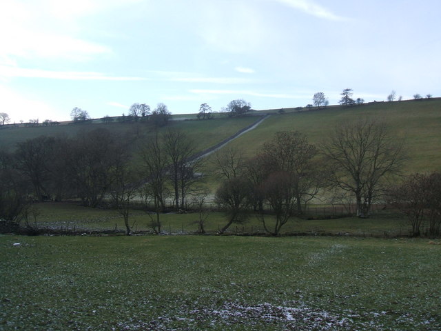
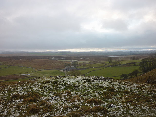
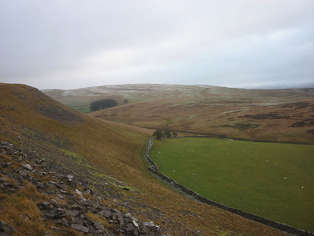
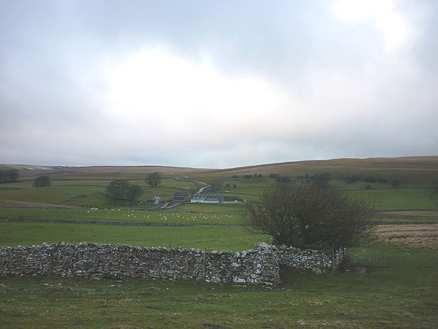
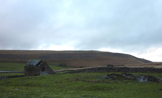
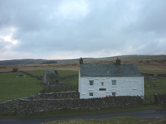
Potts Valley, located in Westmorland, is a picturesque valley in the northwest of England. With its lush green landscapes, rolling hills, and charming rural villages, it offers a tranquil haven away from the hustle and bustle of city life. The valley is nestled between the Lake District National Park to the north and the Yorkshire Dales National Park to the south, making it an ideal destination for outdoor enthusiasts and nature lovers.
Covering an area of approximately 50 square miles, Potts Valley is renowned for its stunning natural beauty and diverse wildlife. The valley is crisscrossed by several streams and rivers, including the River Lune, which flows through the heart of the valley. These waterways provide ample opportunities for activities such as fishing, boating, and kayaking.
The villages within Potts Valley, such as Sedbergh and Kirkby Stephen, boast a rich history and are home to a close-knit community. The villages offer a range of amenities including traditional pubs, quaint tea rooms, and local shops selling artisanal products. Visitors can explore the area's history by visiting historical sites like the ancient ruins of Pendragon Castle or St. Andrew's Church in Sedbergh.
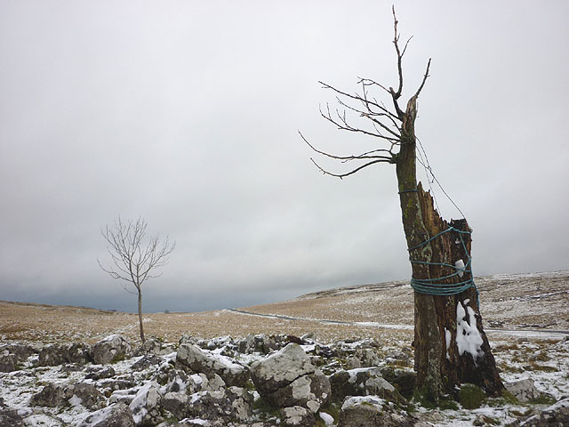
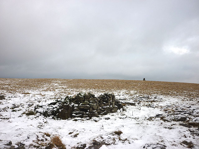
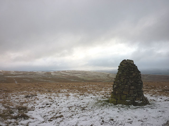
Potts Valley is also a popular destination for hikers and walkers, with numerous trails and footpaths crisscrossing the valley. The valley offers breathtaking views of the surrounding countryside, including the iconic Howgill Fells and the awe-inspiring Wild Boar Fell.
Overall, Potts Valley in Westmorland is a haven for nature lovers, history enthusiasts, and those seeking a peaceful escape in the stunning English countryside.
If you have any feedback on the listing, please let us know in the comments section below.
Potts Valley Images
Images are sourced within 2km of 54.467991/-2.4612109 or Grid Reference NY7008. Thanks to Geograph Open Source API. All images are credited.


Potts Valley is located at Grid Ref: NY7008 (Lat: 54.467991, Lng: -2.4612109)
Administrative County: Cumbria
District: Eden
Police Authority: Cumbria
What 3 Words
///expansion.composed.latitudes. Near Kirkby Stephen, Cumbria
Nearby Locations
Related Wikis

Little Asby
Little Asby is a small village in Cumbria, England. Historically part of Westmorland, its name is said to be derived from the Norse words askr, meaning...

Sunbiggin Tarn
Sunbiggin Tarn is a tarn near Sunbiggin in Cumbria. It is in a Site of Special Scientific Interest (SSSI) which also includes the surrounding moorland...

Ravenstonedale railway station
Ravenstonedale railway station was situated on the South Durham & Lancashire Union Railway (SD&LUR) between Tebay and Kirkby Stephen East. It served the...
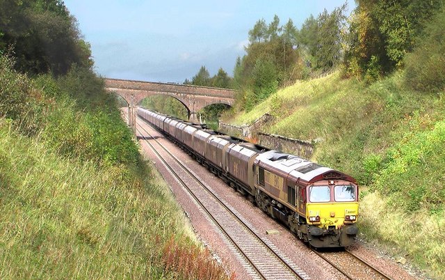
Crosby Garrett railway station
Crosby Garrett was a railway station which served the village of Crosby Garrett in Cumbria, England. It was situated on the Settle-Carlisle Line 38+1⁄4...

Crosby Garrett
Crosby Garrett is a hamlet and civil parish in the Eden District of Cumbria, England. It was formerly in the county of Westmorland. In the 2011 census...
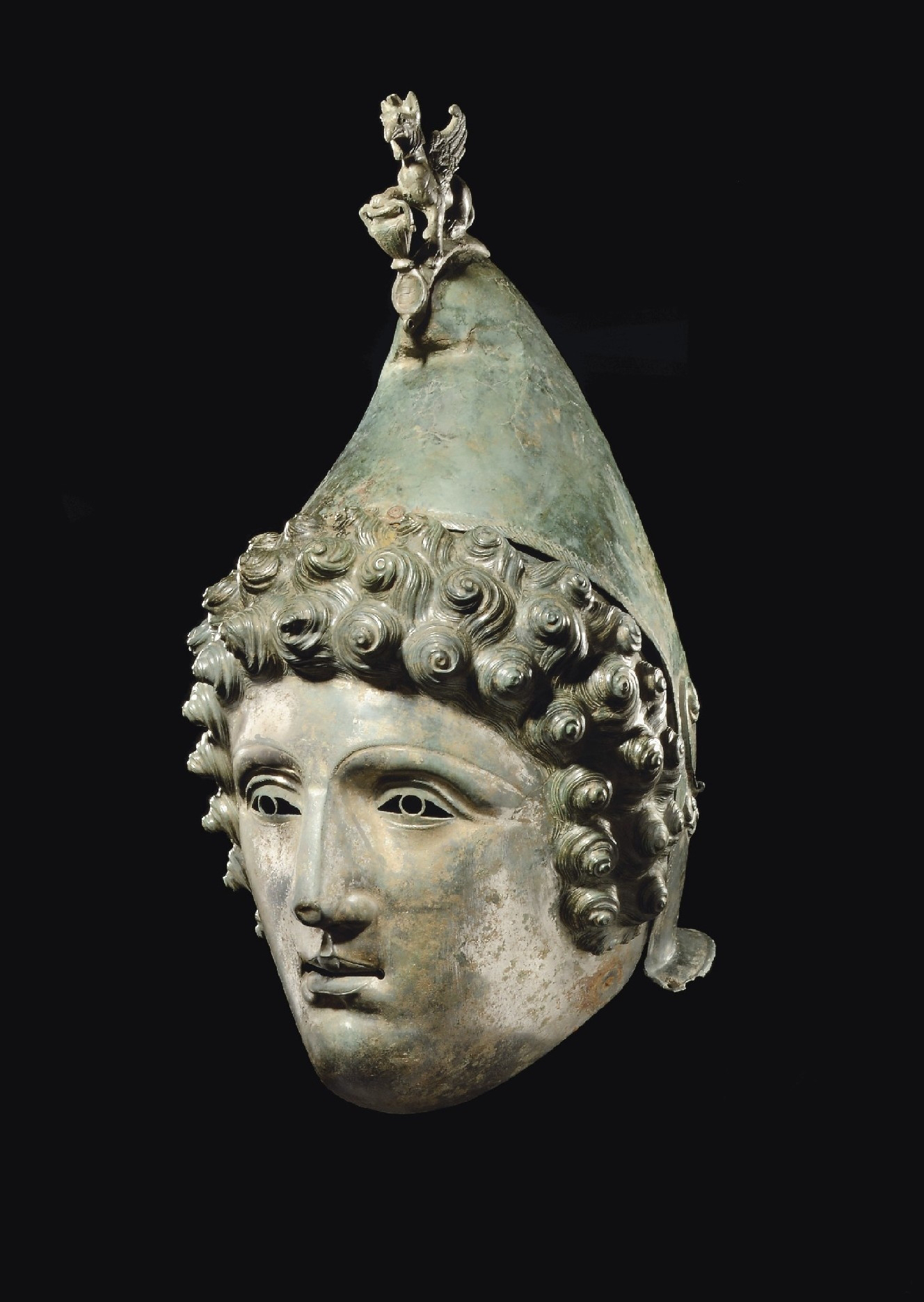
Crosby Garrett Helmet
The Crosby Garrett Helmet is a copper alloy Roman cavalry helmet dating from the late 2nd or early 3rd century AD. It was found by an unnamed metal detectorist...

Newbiggin-on-Lune
Newbiggin-on-Lune is a village in the Eden district of Cumbria, England. Historically in Westmorland it is about 4 miles (6.4 km) south west of Kirkby...
Brownber
Brownber is a hamlet surrounding Brownber Hall near Newbiggin-on-Lune in Cumbria, England.
Have you been to Potts Valley?
Leave your review of Potts Valley below (or comments, questions and feedback).