Limekiln Coppice
Wood, Forest in Herefordshire
England
Limekiln Coppice

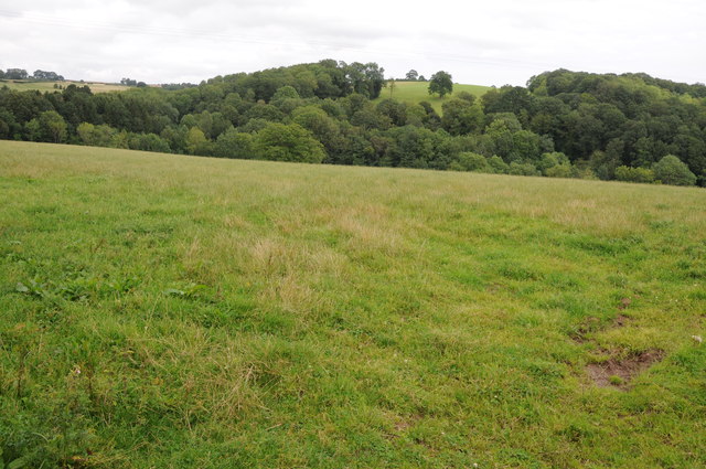
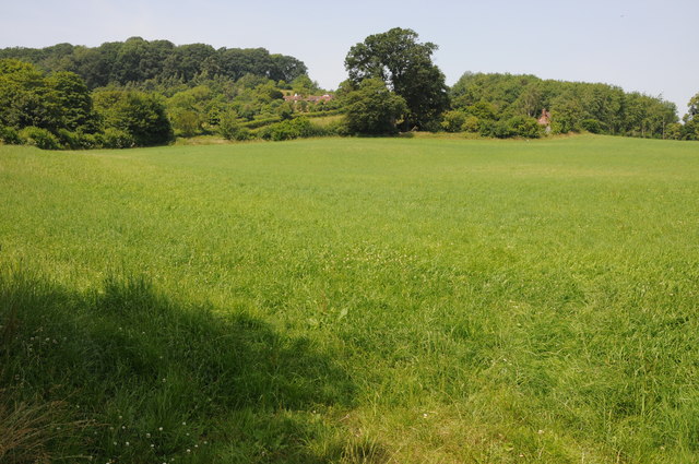
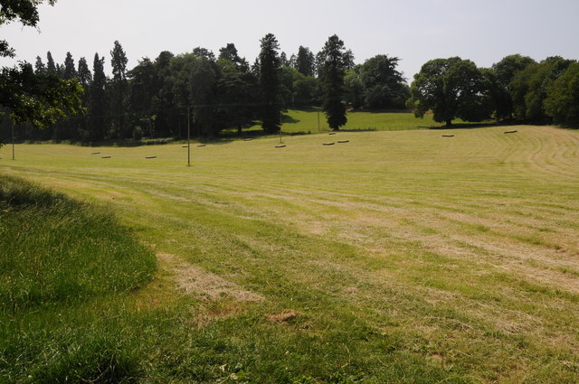
Limekiln Coppice is a picturesque woodland located in the county of Herefordshire, England. Covering an area of approximately 100 acres, it is a thriving natural habitat and a popular destination for nature enthusiasts and hikers alike.
The coppice is primarily composed of a diverse range of deciduous trees, including oak, ash, birch, and beech. These trees create a vibrant and ever-changing landscape throughout the seasons, with beautiful displays of autumn foliage and fresh green buds in the spring. The wood's dense canopy provides an ideal habitat for a variety of wildlife, including deer, foxes, badgers, and a rich assortment of bird species.
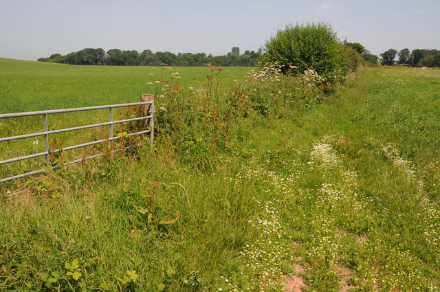
Several well-marked footpaths crisscross the coppice, allowing visitors to explore its tranquil surroundings. The trails wind through the ancient woodland, passing by babbling streams, hidden glades, and secluded ponds, making Limekiln Coppice an ideal spot for a peaceful stroll or a picnic.
The wood is also home to a disused limekiln, which gives the coppice its name. Limekilns were once used to produce lime by burning limestone, and this historical relic provides an intriguing insight into the area's industrial past. The limekiln is a popular point of interest for history enthusiasts and adds to the charm and character of Limekiln Coppice.
Overall, Limekiln Coppice offers visitors a unique opportunity to experience the natural beauty and tranquility of an ancient woodland in Herefordshire. With its diverse flora and fauna, well-maintained trails, and fascinating historical features, it is a must-visit destination for anyone seeking solace and connection with nature.
If you have any feedback on the listing, please let us know in the comments section below.
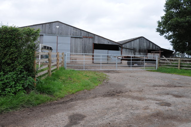
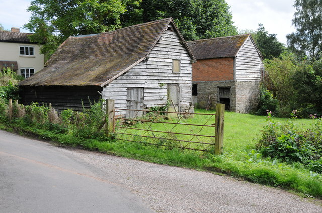
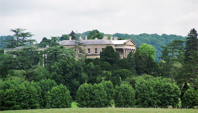
Limekiln Coppice Images
Images are sourced within 2km of 52.219027/-2.4355869 or Grid Reference SO7057. Thanks to Geograph Open Source API. All images are credited.


Limekiln Coppice is located at Grid Ref: SO7057 (Lat: 52.219027, Lng: -2.4355869)
Unitary Authority: County of Herefordshire
Police Authority: West Mercia
What 3 Words
///though.duties.sing. Near Bromyard, Herefordshire
Nearby Locations
Related Wikis

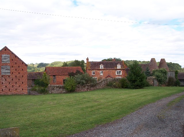
Tedstone Delamere
Tedstone Delamere is a village and civil parish in Herefordshire, England, 3.5 miles (6 km) north-east of Bromyard. The population of the parish at the...
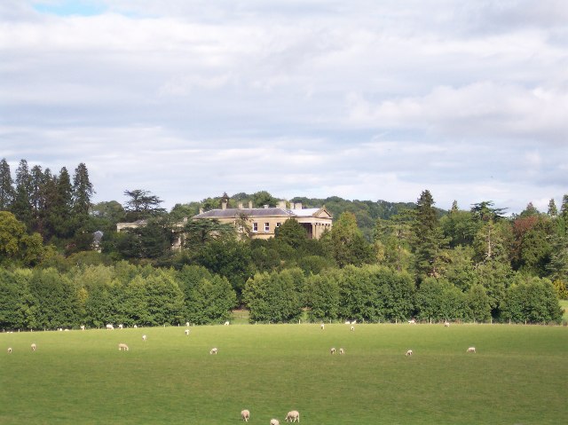
Whitbourne Hall
Whitbourne Hall is a Grade II* listed Greek Revival country house located in the village of Whitbourne in Herefordshire (near the Worcestershire border...

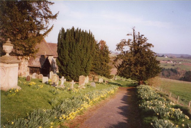
Old St Bartholomew's Church, Lower Sapey
Old St Bartholomew's Church is a redundant Anglican church near the village of Lower Sapey, Worcestershire, England. It is recorded in the National Heritage...

Whitbourne, Herefordshire
Whitbourne (Anglo-Saxon for "white stream") is a village in Eastern Herefordshire, England on the banks of the River Teme and close to the A44. It is close...
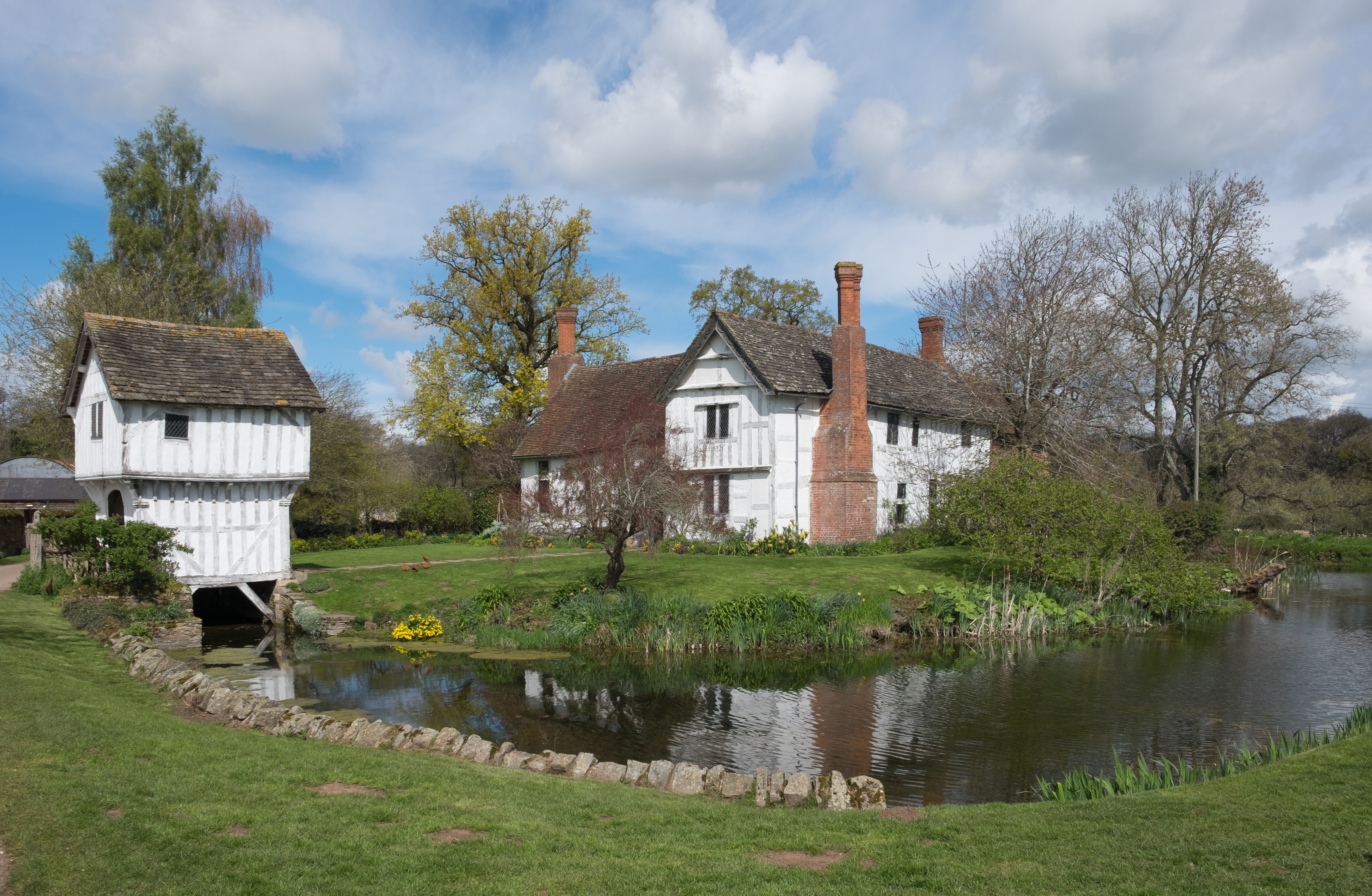
Brockhampton Estate
The Brockhampton Estate is a National Trust property in Herefordshire, England, and is to the north of the A44 Bromyard to Worcester road, opposite the...

Tedstone Wafer
Tedstone Wafer is a village and civil parish 16 miles (26 km) north east of Hereford, in the county of Herefordshire, England. In 2011 the parish had a...
Bringsty Common
Bringsty Common is a scattered settlement and 220 acres (89 ha) of common land in Herefordshire, England, spanning the A44. It lies close to the Worcestershire...
Horsham, Worcestershire
Horsham is a village in Worcestershire, England. Remains of an old Iron Age fort are located within the village. == External links ==
Nearby Amenities
Located within 500m of 52.219027,-2.4355869Have you been to Limekiln Coppice?
Leave your review of Limekiln Coppice below (or comments, questions and feedback).