Poswick Coppice
Wood, Forest in Herefordshire
England
Poswick Coppice

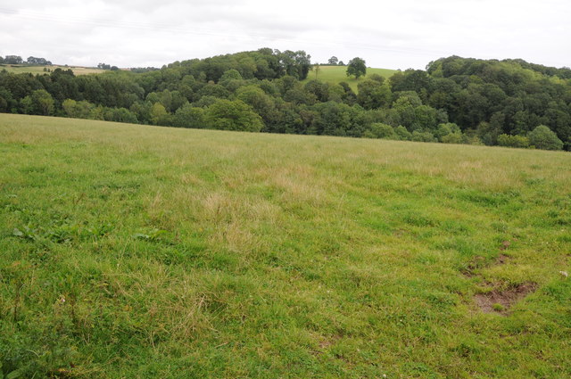
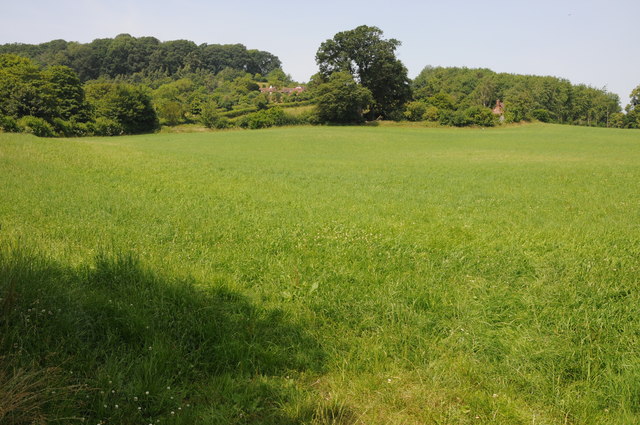
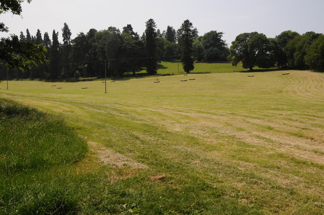
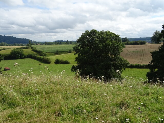
Poswick Coppice is a picturesque woodland located in the county of Herefordshire, England. Covering an area of approximately 50 acres, this ancient forest is a haven for nature enthusiasts and provides a tranquil escape from the hustle and bustle of everyday life.
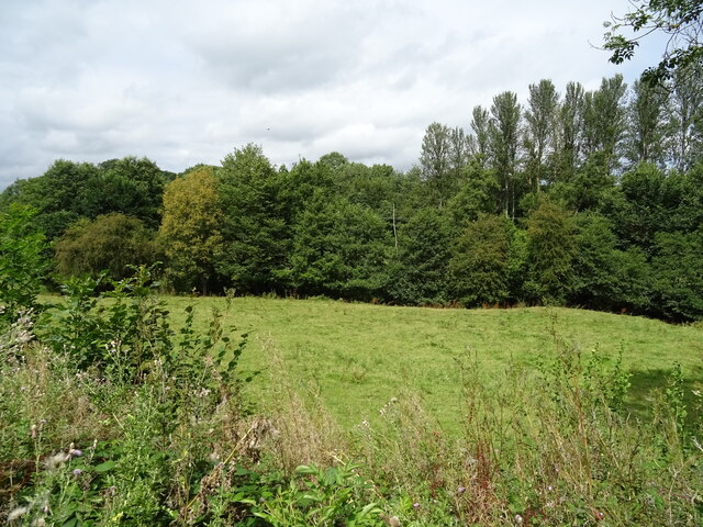
The coppice is characterized by its dense tree canopy, predominantly consisting of native species such as oak, beech, and ash. These trees tower over the forest floor, creating a cool and shaded environment below. The ground is carpeted with a rich variety of wildflowers, including bluebells, primroses, and wood sorrel, which flourish in the dappled sunlight that filters through the branches.
The woodland is home to a diverse range of wildlife, offering a habitat for numerous species. Visitors may spot roe deer gracefully navigating through the undergrowth or hear the distinctive calls of songbirds such as blackbirds and thrushes. The forest is also a haven for woodland insects, with butterflies and bees flitting between the flowers.
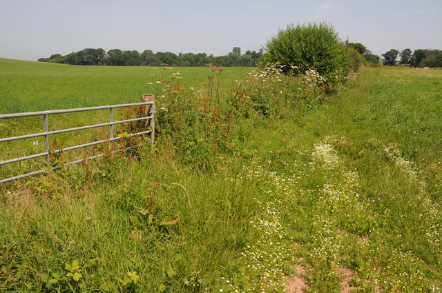
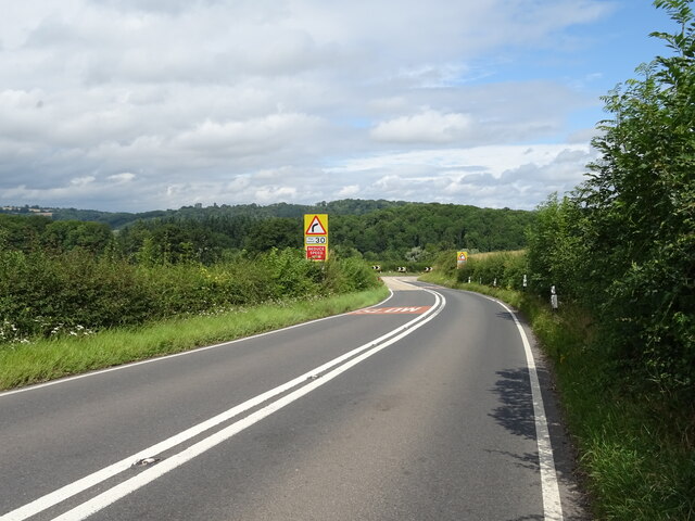
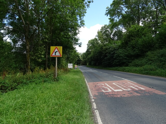
Tranquil walking trails wind through the heart of the coppice, inviting visitors to explore its natural wonders. These paths lead to a small stream that meanders through the woodland, providing a peaceful backdrop to the serene surroundings. The forest is a popular destination for hikers, birdwatchers, and nature photographers, who come to appreciate its beauty and capture its essence.
Overall, Poswick Coppice is a hidden gem in the heart of Herefordshire, offering a sanctuary of peace and beauty for all who venture into its enchanting depths.
If you have any feedback on the listing, please let us know in the comments section below.
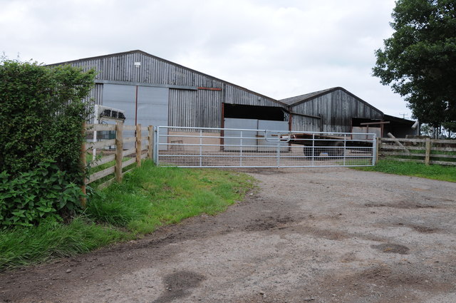
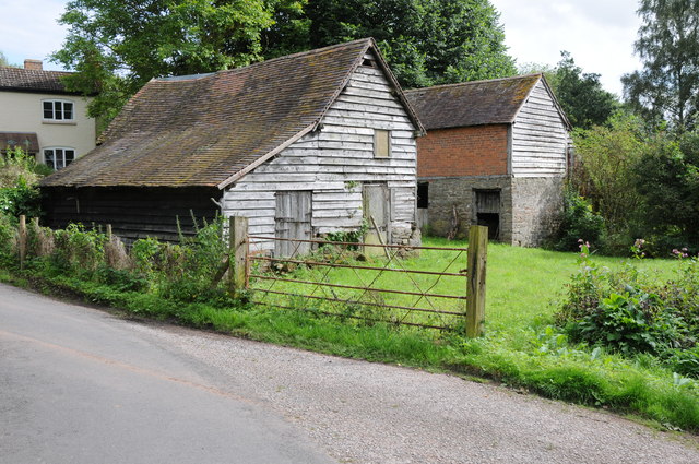
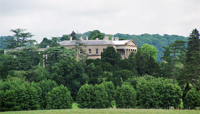
Poswick Coppice Images
Images are sourced within 2km of 52.21565/-2.4323484 or Grid Reference SO7057. Thanks to Geograph Open Source API. All images are credited.


Poswick Coppice is located at Grid Ref: SO7057 (Lat: 52.21565, Lng: -2.4323484)
Unitary Authority: County of Herefordshire
Police Authority: West Mercia
What 3 Words
///suitably.upper.snooty. Near Bromyard, Herefordshire
Nearby Locations
Related Wikis
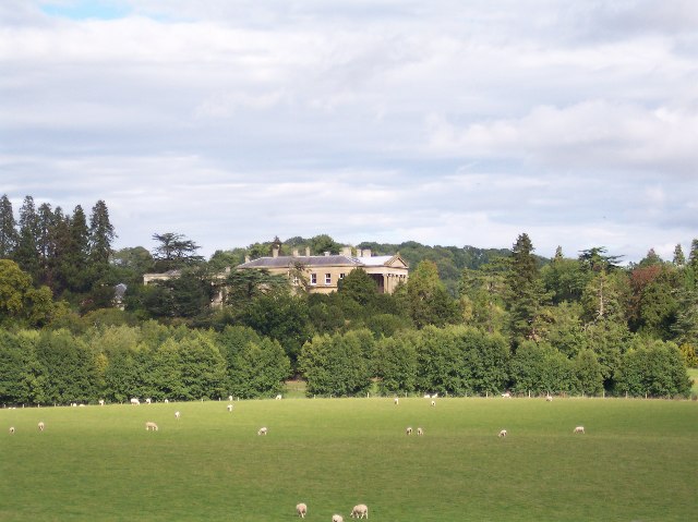
Whitbourne Hall
Whitbourne Hall is a Grade II* listed Greek Revival country house located in the village of Whitbourne in Herefordshire (near the Worcestershire border...

Tedstone Delamere
Tedstone Delamere is a village and civil parish in Herefordshire, England, 3.5 miles (6 km) north-east of Bromyard. The population of the parish at the...

Whitbourne, Herefordshire
Whitbourne (Anglo-Saxon for "white stream") is a village in Eastern Herefordshire, England on the banks of the River Teme and close to the A44. It is close...
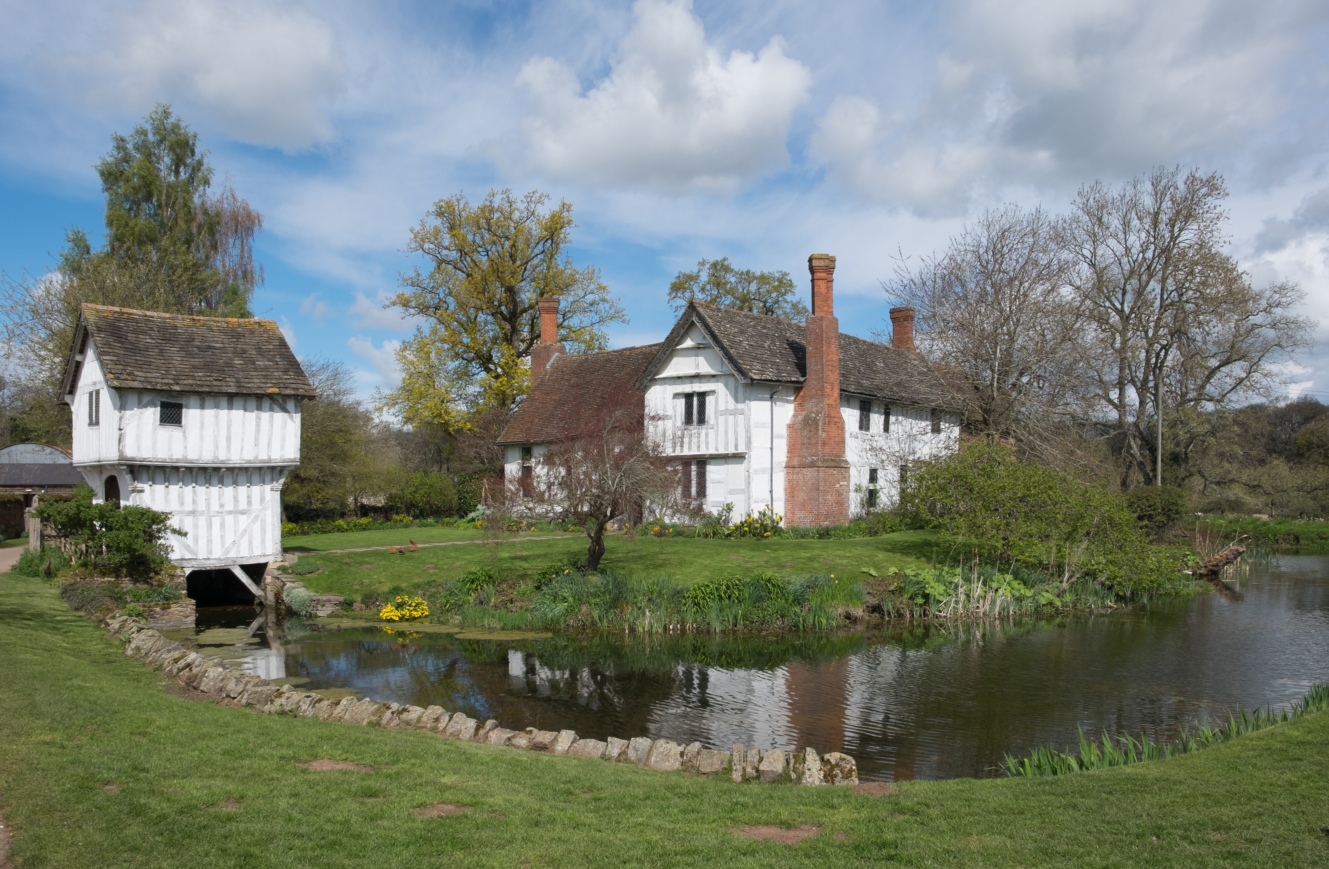
Brockhampton Estate
The Brockhampton Estate is a National Trust property in Herefordshire, England, and is to the north of the A44 Bromyard to Worcester road, opposite the...
Nearby Amenities
Located within 500m of 52.21565,-2.4323484Have you been to Poswick Coppice?
Leave your review of Poswick Coppice below (or comments, questions and feedback).