West Coppice

Wood, Forest in Dorset

England

West Coppice

Clayhanger, near Purse Caundle, Dorset
Clayhanger, near Purse Caundle, Dorset Credit: Becky Williamson

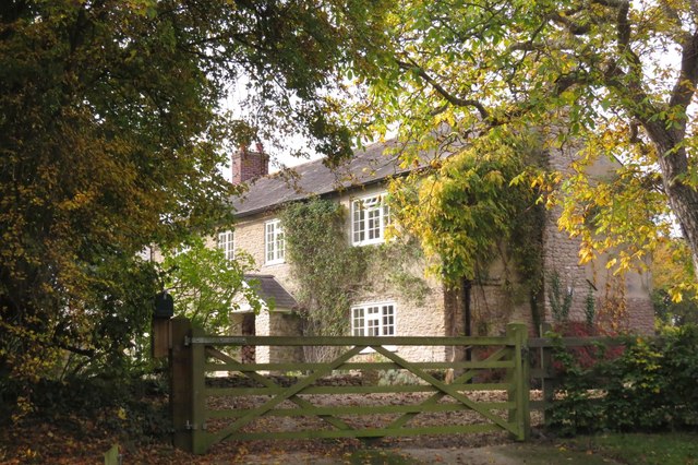
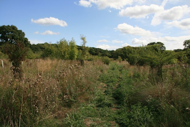
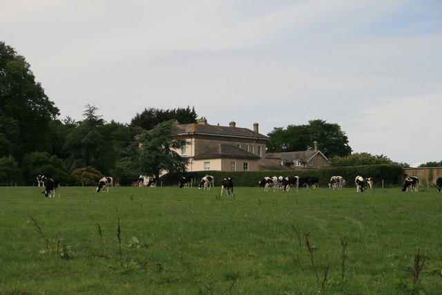
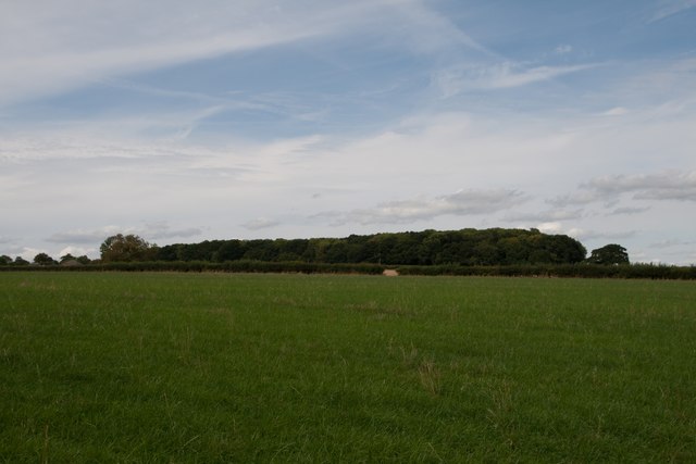
West Coppice is a picturesque wood located in the county of Dorset, England. Situated in the south-western part of the county, this forested area offers a tranquil escape from the bustling urban areas nearby. Covering an approximate area of 100 acres, West Coppice is known for its diverse range of trees and scenic beauty.

The wood is predominantly composed of native broadleaf species such as oak, beech, and ash, which create a dense canopy that provides shade and shelter to the woodland floor. Within the forest, there are well-maintained walking trails that wind through the trees, allowing visitors to explore and immerse themselves in the natural surroundings.

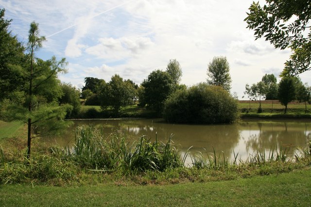
Wildlife thrives in West Coppice, with various species of birds, mammals, and insects calling this woodland their home. It is common to spot deer, squirrels, and foxes roaming freely among the trees, while a variety of bird species can be seen and heard throughout the year.

West Coppice is a popular destination for nature enthusiasts, hikers, and photographers who are captivated by its scenic beauty. The wood offers a peaceful retreat for those seeking solace in nature, with its tranquil atmosphere and the soothing sounds of the rustling leaves and chirping birds.

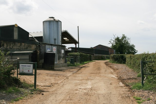
Managed by the local authority, West Coppice has well-maintained facilities, including designated parking areas and picnic spots for visitors to enjoy. The wood is open to the public throughout the year, allowing people to experience the changing seasons and the vibrant colors of the foliage.

Overall, West Coppice is a charming woodland that showcases the natural beauty of Dorset, providing a haven for both wildlife and humans alike.

If you have any feedback on the listing, please let us know in the comments section below.
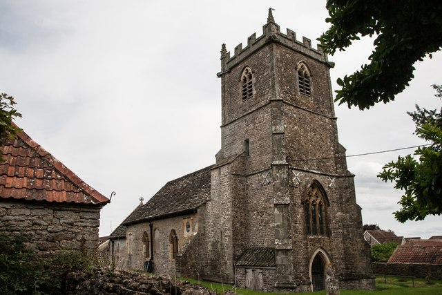
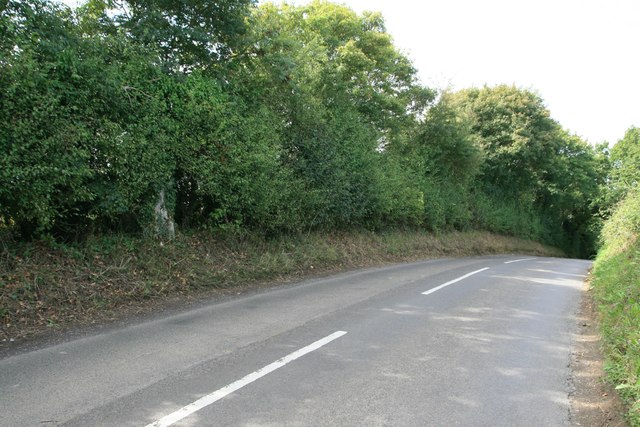
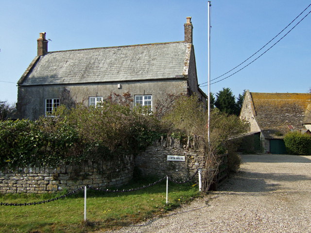
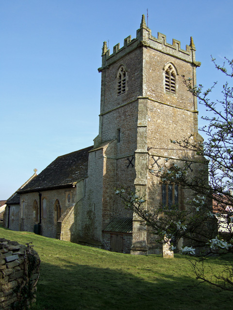
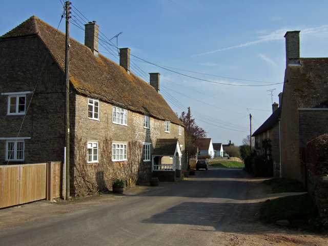
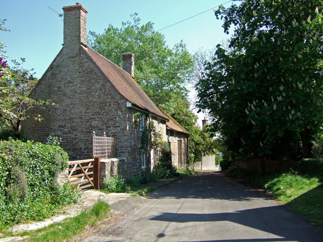
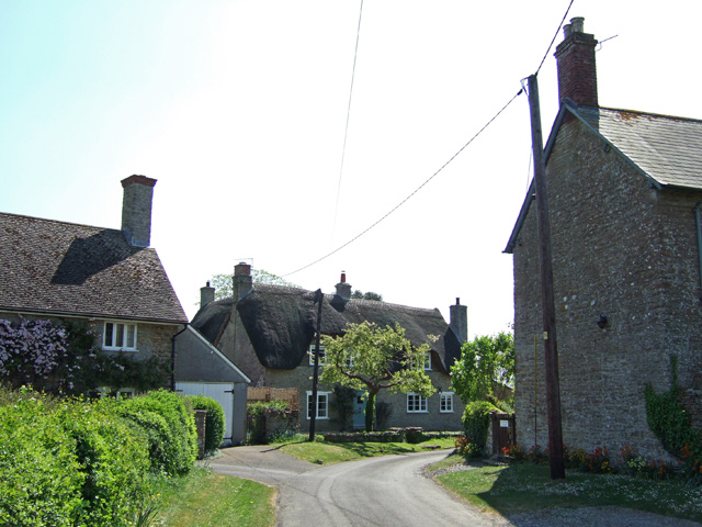
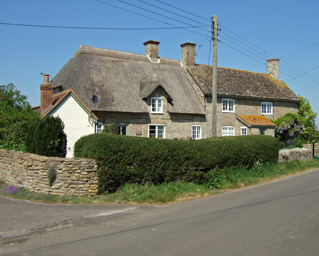
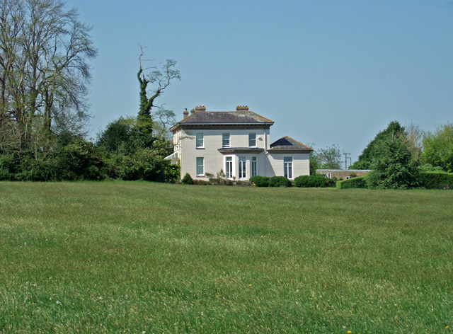
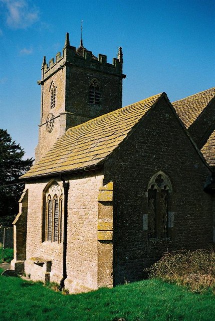
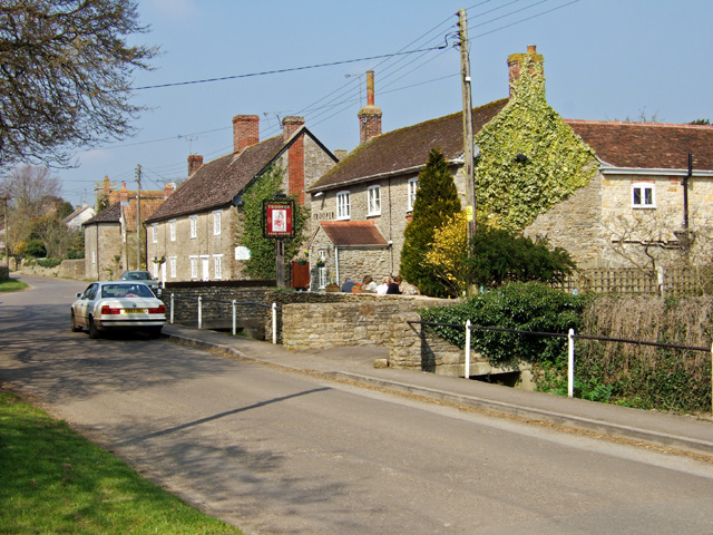
West Coppice Images

Images are sourced within 2km of 50.950685/-2.4204717 or Grid Reference ST7016. Thanks to Geograph Open Source API. All images are credited.

Clayhanger, near Purse Caundle, Dorset
Footpath to Dales Covert near Purse Caundle
Farmland, Frith Farm
Pond, Frith House
Pond, Frith House
Haddon Lodge
Haddon Lodge
Manor Farm
Manor Farm
New Leaze Wood
New Leaze Wood
Benchmark St Peter's Church, Stourton Caundle See also <a href="https://www.geograph.org.uk/photo/5891489">ST7115 : St Peter's Church, Stourton Caundle</a>.
Benchmark St Peter's Church, Stourton Caundle
St Peter's Church, Stourton Caundle There is an Ordnance Survey benchmark on this building, see <a href="https://www.geograph.org.uk/photo/5891488">ST7115 : Benchmark St Peter's Church, Stourton Caundle</a>.
St Peter's Church, Stourton Caundle
There is an Ordnance Survey benchmark on this building, see ST7115 : Benchmark St Peter's Church, Stourton Caundle.
Copse House Trigpoint
Copse House Farm
Copse House Farm
Stourton Caundle Church St Peter's church is 700 years old with a 14th century tower.
Stourton Caundle Church
St Peter's church is 700 years old with a 14th century tower.
Stourton Caundle Village Street The house on the left is Brownshawl Farm.
Stourton Caundle Village Street
The house on the left is Brownshawl Farm.
Lower Farm Cottage - Stalbridge Weston Grade II listed C18 cottage with attached barn.
Lower Farm Cottage - Stalbridge Weston
Grade II listed C18 cottage with attached barn.
Stalbridge Weston (2) The thatched house is The Old Orchard, and dates back in part to the 16th Century, the rest being mainly 18th century. It is listed Grade II. The coursed rubble exterior belies the fact that is a cruck-framed house.
Stalbridge Weston (2)
The thatched house is The Old Orchard, and dates back in part to the 16th Century, the rest being mainly 18th century. It is listed Grade II. The coursed rubble exterior belies the fact that is a cruck-framed house.
Corner Cottage & Corner Farm - Stalbridge Weston Grade II listed pair of cottages dating from possibly circa 1800, with major C19 alterations.
Corner Cottage & Corner Farm - Stalbridge Weston
Grade II listed pair of cottages dating from possibly circa 1800, with major C19 alterations.
Haddon Lodge A modest country house located almost equidistant between the villages of Purse Caundle and Stourton Caundle.
Haddon Lodge
A modest country house located almost equidistant between the villages of Purse Caundle and Stourton Caundle.
Stourton Caundle: parish church of St. Peter A survey carried out in the late 1800s revealed that apart from the chancel, the church's foundations were poor – even the tower's had only a depth of a foot.
Stourton Caundle: parish church of St. Peter
A survey carried out in the late 1800s revealed that apart from the chancel, the church's foundations were poor – even the tower's had only a depth of a foot.
Show me another place!

West Coppice is located at Grid Ref: ST7016 (Lat: 50.950685, Lng: -2.4204717)

Unitary Authority: Dorset

Police Authority: Dorset

What 3 Words

///incomes.sweetener.skirting. Near Stalbridge, Dorset

Related Wikis

Purse Caundle

Purse Caundle is a village and civil parish in the county of Dorset in southwest England. It lies within the Dorset Council administrative area, about...

Stourton Caundle

Stourton Caundle is a village and civil parish in the county of Dorset in southwest England. It lies within the Blackmore Vale, about five miles (eight...

Ven House

Ven House in Milborne Port, Somerset, England is an English manor house that has been designated as a Grade I listed building.Construction of the smaller...

Goathill

Goathill is a village and civil parish in the county of Dorset in England, situated in northern Dorset, a couple of miles east of the town of Sherborne...

Nearby Amenities

Located within 500m of 50.950685,-2.4204717
Barrier: stile
Lat/Long: 50.9541683/-2.4165293
Power: pole
Source: bing
Lat/Long: 50.9473779/-2.4243133
Power: pole
Source: bing
Lat/Long: 50.9487416/-2.4233088
Power: pole
Source: bing
Lat/Long: 50.948064/-2.4238586
Power: pole
Source: bing
Lat/Long: 50.9494277/-2.4227884
Power: pole
Source: bing
Lat/Long: 50.9500292/-2.4222735
Power: pole
Source: bing
Lat/Long: 50.9506426/-2.4217424
Power: pole
Source: bing
Lat/Long: 50.9512433/-2.4212046
Power: pole
Source: bing
Lat/Long: 50.9518491/-2.4206977
Power: pole
Source: bing
Lat/Long: 50.9524633/-2.4201545
Power: pole
Source: bing
Lat/Long: 50.9530505/-2.4196476
Power: pole
Source: bing
Lat/Long: 50.9536765/-2.4191085
Power: pole
Source: bing
Lat/Long: 50.9542738/-2.4185827
Power: pole
Source: bing
Lat/Long: 50.9548736/-2.4180597
The data included in this document is from www.openstreetmap.org. The data is made available under ODbL.

Have you been to West Coppice?

Leave your review of West Coppice below (or comments, questions and feedback).