Cockhill Coppice
Wood, Forest in Dorset
England
Cockhill Coppice
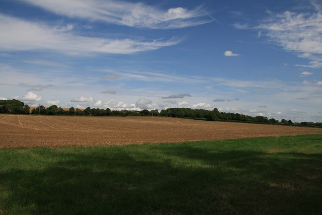
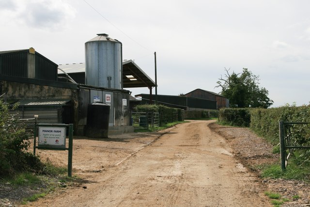
Cockhill Coppice is a charming woodland located in Dorset, England. Spread across an area of approximately 50 acres, it is a haven for nature enthusiasts and offers a tranquil escape from the hustle and bustle of urban life.
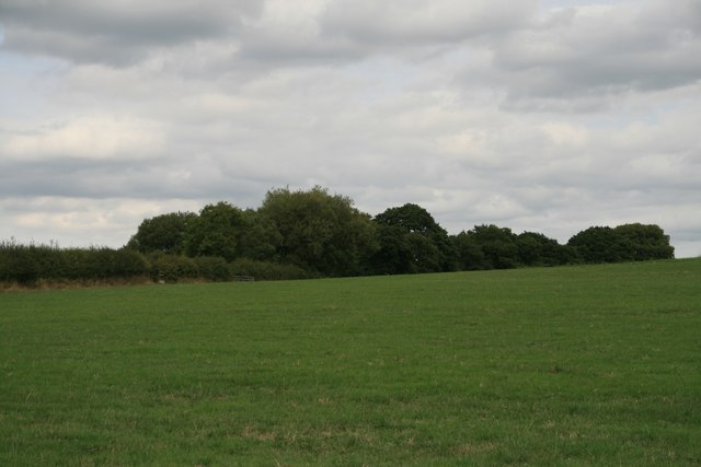
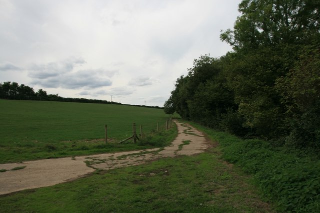
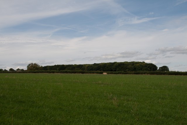
This beautiful forest is characterized by its diverse range of trees, including oak, beech, and birch. The dense canopy of these towering trees creates a serene atmosphere, providing shade and shelter to the various flora and fauna that call Cockhill Coppice their home.
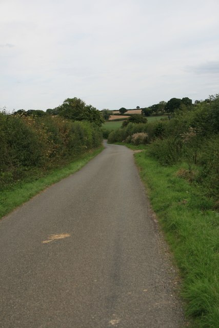
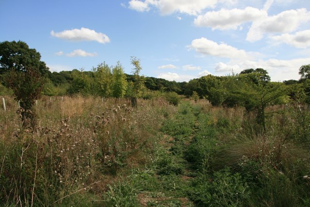
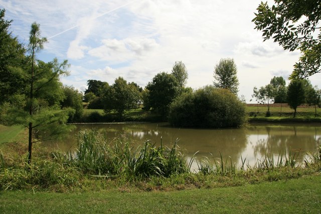
The forest floor is covered with a lush carpet of wildflowers, ferns, and moss, adding to the overall enchanting ambiance. Visitors can take leisurely strolls along the well-maintained footpaths that wind through the woods, allowing them to fully immerse themselves in the natural beauty of the area.
Cockhill Coppice is also home to a rich variety of wildlife. Birdwatchers will delight in spotting species such as woodpeckers, owls, and various songbirds. Squirrels can often be seen playfully darting between the trees, while rabbits and foxes occasionally make appearances.
For those interested in history, Cockhill Coppice holds significance as a remnant of ancient woodland. Its untouched beauty serves as a reminder of what the landscape may have looked like centuries ago.
Overall, Cockhill Coppice offers a delightful escape into nature, providing visitors with a peaceful and picturesque setting to connect with the great outdoors.
If you have any feedback on the listing, please let us know in the comments section below.
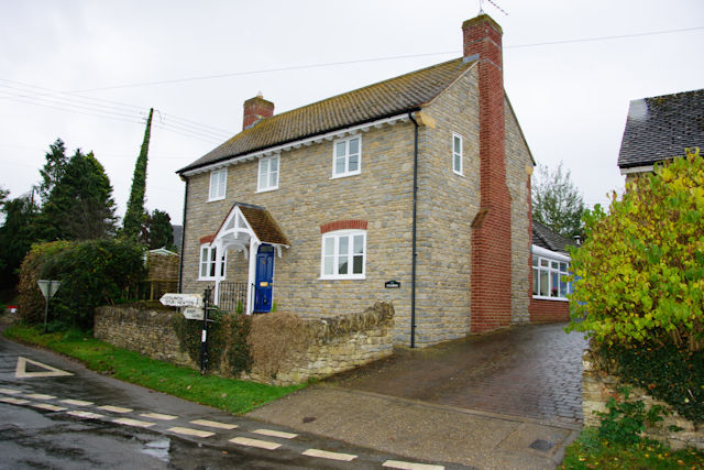
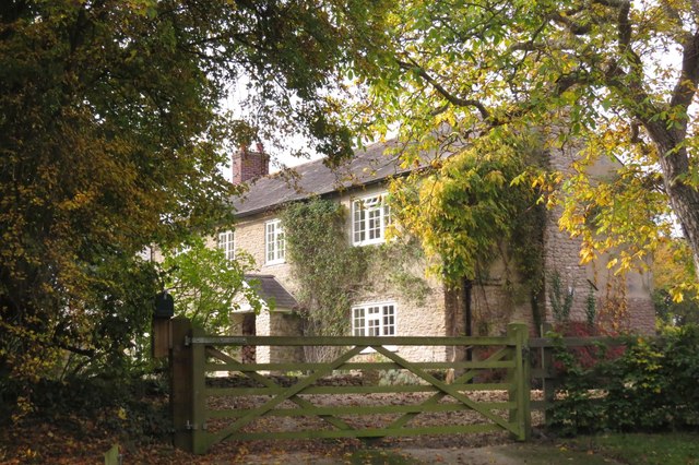
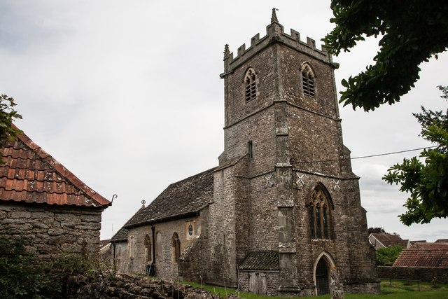
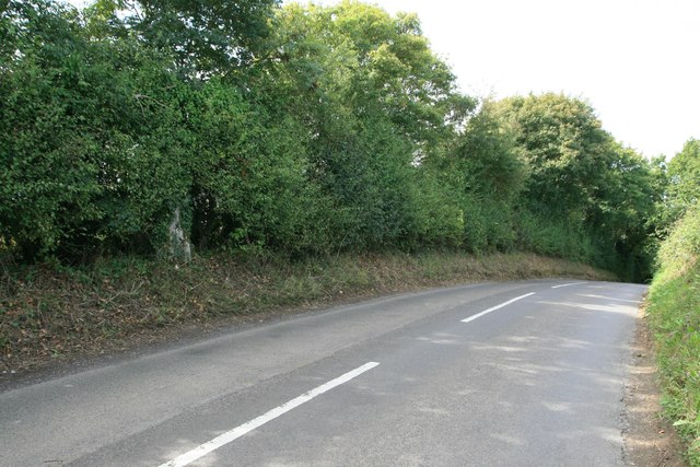
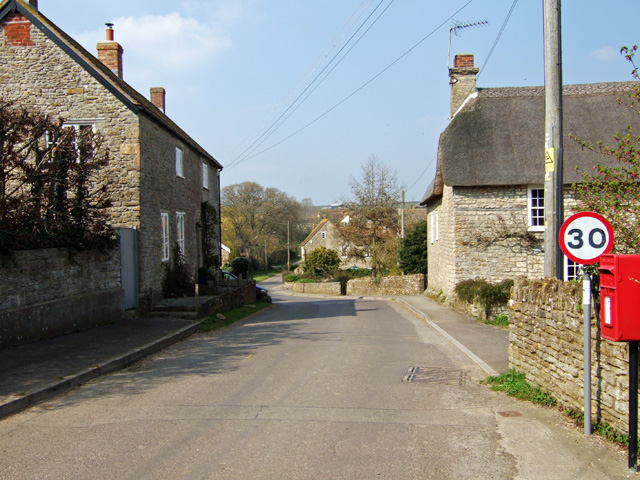
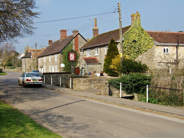
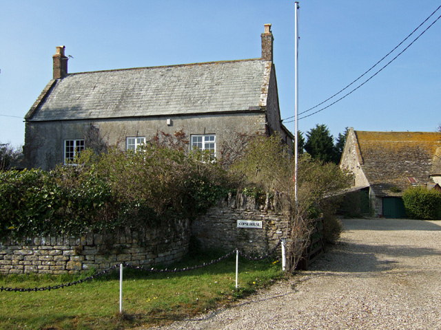
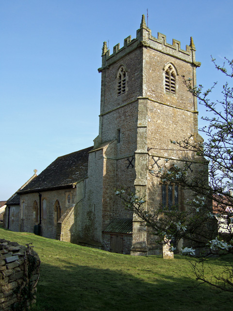
Cockhill Coppice Images
Images are sourced within 2km of 50.944307/-2.4186634 or Grid Reference ST7016. Thanks to Geograph Open Source API. All images are credited.
Cockhill Coppice is located at Grid Ref: ST7016 (Lat: 50.944307, Lng: -2.4186634)
Unitary Authority: Dorset
Police Authority: Dorset
What 3 Words
///manly.useful.magic. Near Stalbridge, Dorset
Nearby Locations
Related Wikis

Stourton Caundle
Stourton Caundle is a village and civil parish in the county of Dorset in southwest England. It lies within the Blackmore Vale, about five miles (eight...

Purse Caundle
Purse Caundle is a village and civil parish in the county of Dorset in southwest England. It lies within the Dorset Council administrative area, about...

Goathill
Goathill is a village and civil parish in the county of Dorset in England, situated in northern Dorset, a couple of miles east of the town of Sherborne...

Stalbridge
Stalbridge () is a town and civil parish in Dorset, England, situated in the Blackmore Vale, near the border with Somerset. In the 2011 census the civil...

Brownshall Hundred
Brownshall Hundred was a hundred in the county of Dorset, England, containing the following parishes: Holwell (transferred from Somerset 1844) Lydlinch...

Ven House
Ven House in Milborne Port, Somerset, England is an English manor house that has been designated as a Grade I listed building.Construction of the smaller...

Bishop's Caundle
Bishop's Caundle is a village and civil parish in Dorset, South West England. It is situated 6 miles (9.7 km) south-east of Sherborne. The local travel...
Goathill Quarry
Goathill Quarry (grid reference ST671175) is a 0.3 hectare geological Site of Special Scientific Interest near Goathill in Dorset, England, notified in...
Nearby Amenities
Located within 500m of 50.944307,-2.4186634Have you been to Cockhill Coppice?
Leave your review of Cockhill Coppice below (or comments, questions and feedback).