Well Plantation
Wood, Forest in Dorset
England
Well Plantation
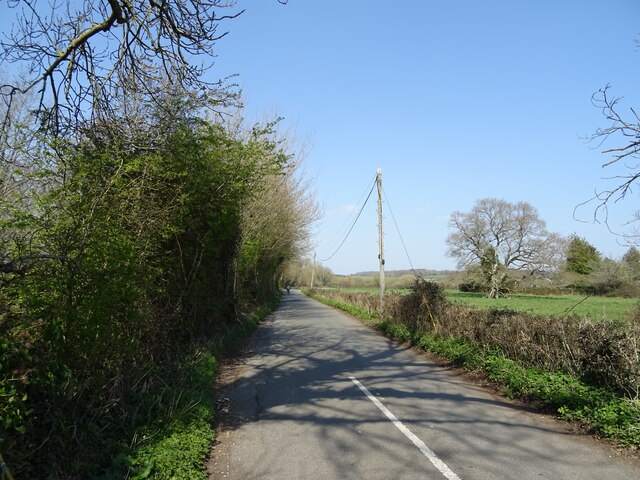
Well Plantation is a picturesque woodland area located in the county of Dorset, England. Nestled in the heart of this idyllic county, the plantation is a haven for nature enthusiasts, hikers, and those seeking tranquility amidst the beauty of the countryside.
Covering an expansive area, Well Plantation is abundant with a variety of trees, including oak, beech, and pine. These towering trees provide a lush green canopy that filters the sunlight, creating a serene and cool ambiance. The forest floor is carpeted with a rich tapestry of ferns, mosses, and wildflowers, adding to the enchanting atmosphere.
The plantation is crisscrossed with a network of well-maintained footpaths, allowing visitors to explore its wonders at their leisure. Meandering through the woods, one might stumble upon babbling brooks, hidden ponds, and small clearings that provide perfect spots for picnics or quiet contemplation.
Well Plantation is also home to a diverse array of wildlife. Keen-eyed visitors may spot deer, rabbits, and a variety of bird species, including woodpeckers and owls. The tranquil setting and abundance of flora and fauna make it an ideal location for birdwatching and wildlife photography.
The plantation is open to the public all year round, and visitors are encouraged to respect the natural environment by adhering to the designated paths and leaving no trace of their presence. Whether you are seeking a leisurely stroll, a peaceful retreat, or a chance to immerse yourself in nature's beauty, Well Plantation is sure to captivate all who venture into its magical embrace.
If you have any feedback on the listing, please let us know in the comments section below.
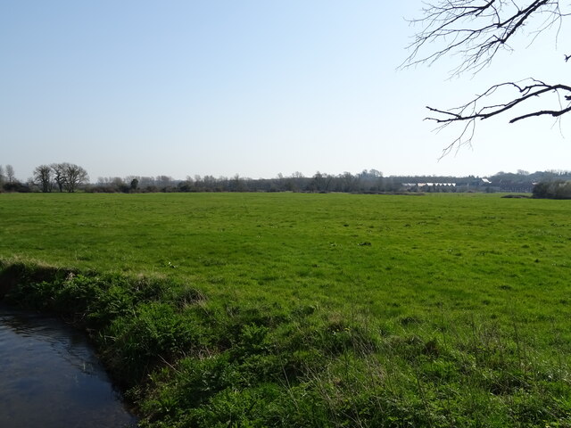
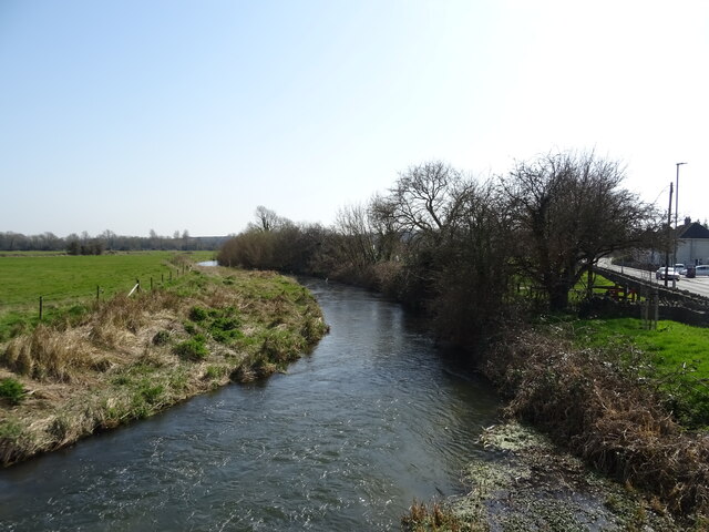
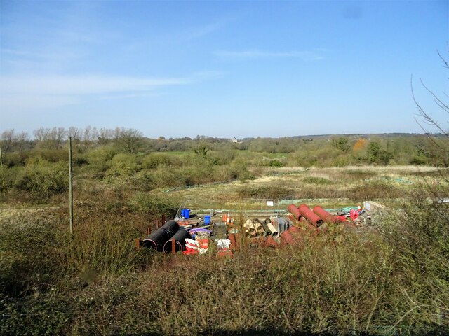
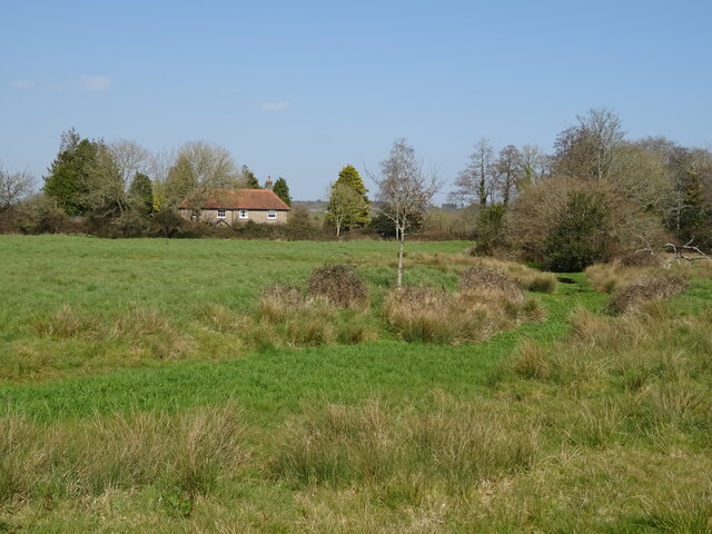
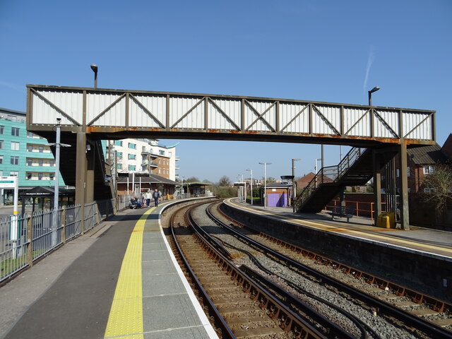
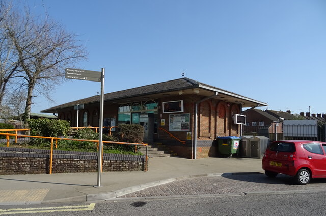
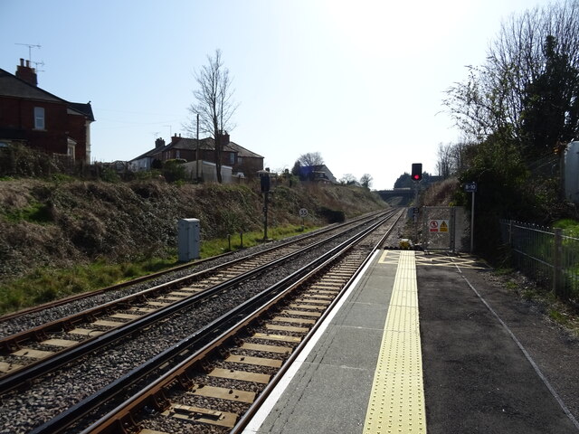
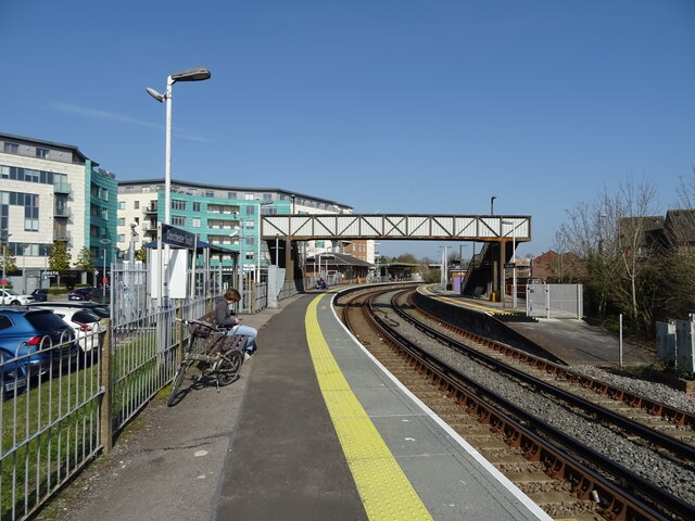
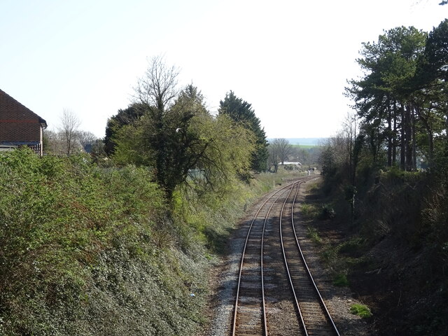
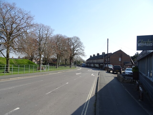
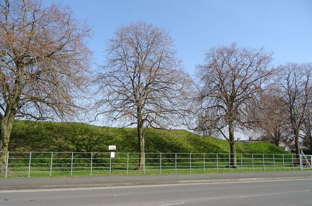
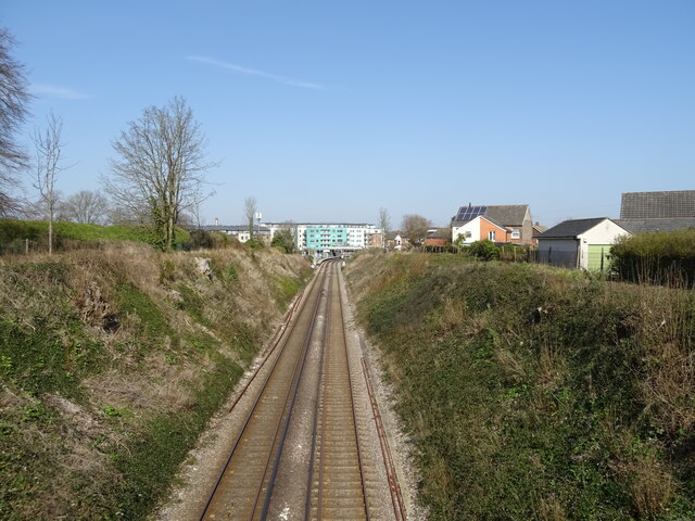
Well Plantation Images
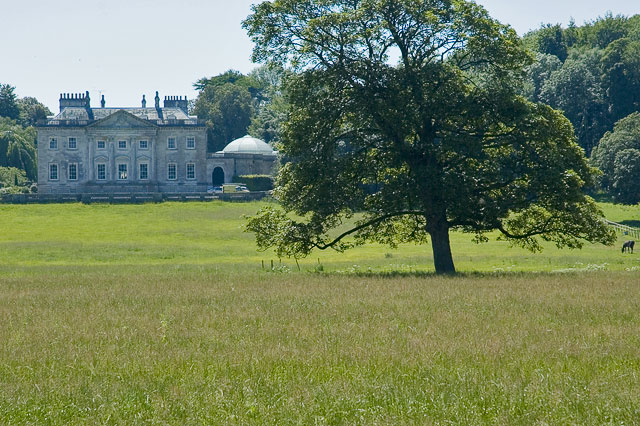
Images are sourced within 2km of 50.699546/-2.4165073 or Grid Reference SY7088. Thanks to Geograph Open Source API. All images are credited.
Well Plantation is located at Grid Ref: SY7088 (Lat: 50.699546, Lng: -2.4165073)
Unitary Authority: Dorset
Police Authority: Dorset
What 3 Words
///driving.blurts.pushover. Near Dorchester, Dorset
Nearby Locations
Related Wikis

Old Came Rectory
Old Came Rectory is a former rectory on the A352 road in Winterborne Came, Dorset, England. It was built in the 19th century for the Reverend William England...
Winterborne Came
Winterborne Came is a small dispersed settlement and civil parish in the county of Dorset in England, situated in the west of the county, approximately...

St Peter's Church, Winterborne Came
St Peter's Church in Winterborne Came, Dorset, England was built in the 14th century. It is recorded in the National Heritage List for England as a designated...

Came House
Came House is a privately owned country house next to the village of Winterborne Came, in Dorset, England. Built in the mid-18th century, it is a Grade...
Nearby Amenities
Located within 500m of 50.699546,-2.4165073Have you been to Well Plantation?
Leave your review of Well Plantation below (or comments, questions and feedback).