Square Coppice
Wood, Forest in Dorset
England
Square Coppice

Square Coppice is a picturesque woodland located in Dorset, England. Covering an area of approximately 20 acres, this forest is known for its dense foliage and diverse range of trees, making it a haven for nature enthusiasts and wildlife alike.
The woodland is primarily composed of oak and beech trees, which tower above the forest floor and create a magnificent canopy. These trees provide ample shade and shelter for a variety of wildlife, including birds, squirrels, and deer. The forest floor is carpeted with a rich layer of leaf litter, creating a fertile ground for a variety of plant species to thrive.
Visitors to Square Coppice can explore the forest through a network of well-maintained walking trails. These trails wind through the woods, allowing visitors to experience the peace and tranquility of the natural surroundings. Along the way, they may stumble upon hidden clearings, babbling brooks, and enchanting wildflowers.
The woodland is also home to a small pond, which serves as a watering hole for various species of birds and mammals. Birdwatchers will be delighted to spot a range of avian species, including woodpeckers, jays, and nightingales. Additionally, the pond attracts frogs, newts, and dragonflies, adding to the biodiversity of the area.
Square Coppice is a popular destination for nature walks, picnics, and photography. Its serene ambiance and stunning natural beauty make it a must-visit location for those seeking a peaceful escape from the hustle and bustle of everyday life.
If you have any feedback on the listing, please let us know in the comments section below.
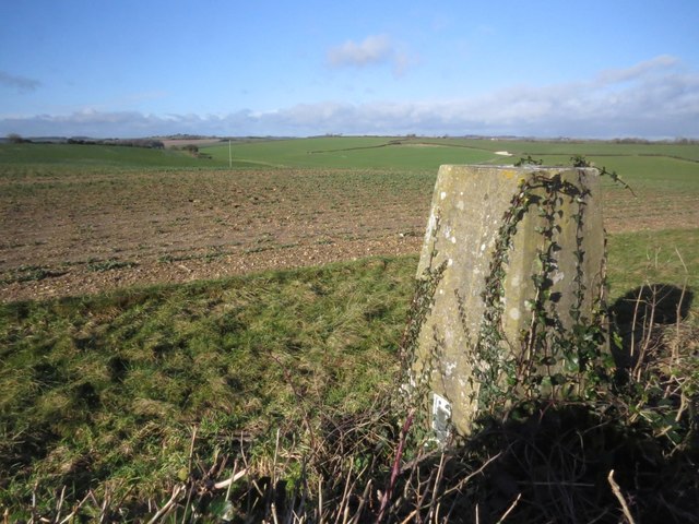
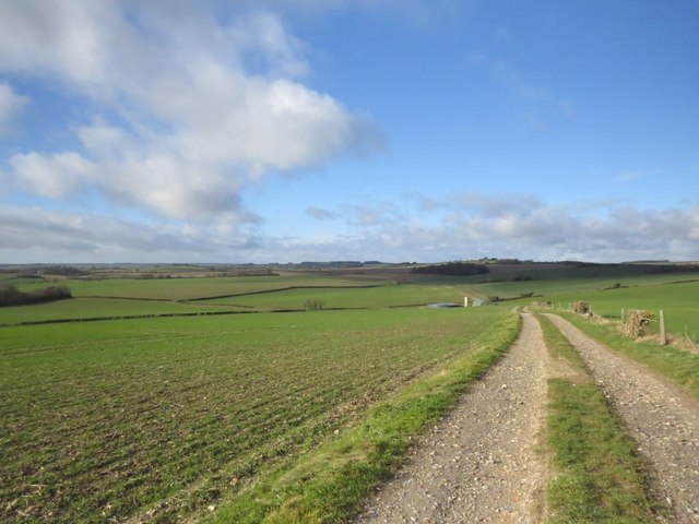
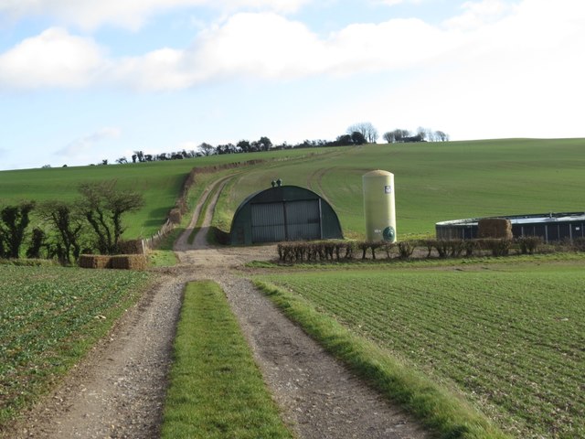
Square Coppice Images
Images are sourced within 2km of 50.742871/-2.4169485 or Grid Reference SY7093. Thanks to Geograph Open Source API. All images are credited.


Square Coppice is located at Grid Ref: SY7093 (Lat: 50.742871, Lng: -2.4169485)
Unitary Authority: Dorset
Police Authority: Dorset
What 3 Words
///slanting.silks.deploying. Near Charminster, Dorset
Nearby Locations
Related Wikis

Thomas Hardy's Cottage
Thomas Hardy's Cottage, in Higher Bockhampton, Dorset, is a small cob and thatch building that is the birthplace of the English author Thomas Hardy. He...

Stinsford
Stinsford is a village and civil parish in southwest Dorset, England, about 1 mile (1.6 km) east of Dorchester. The parish includes the settlements of...
Kingston Maurward College
Kingston Maurward College is a college for land-based studies situated two miles east of Dorchester, Dorset, England. The college is a member of the Landex...
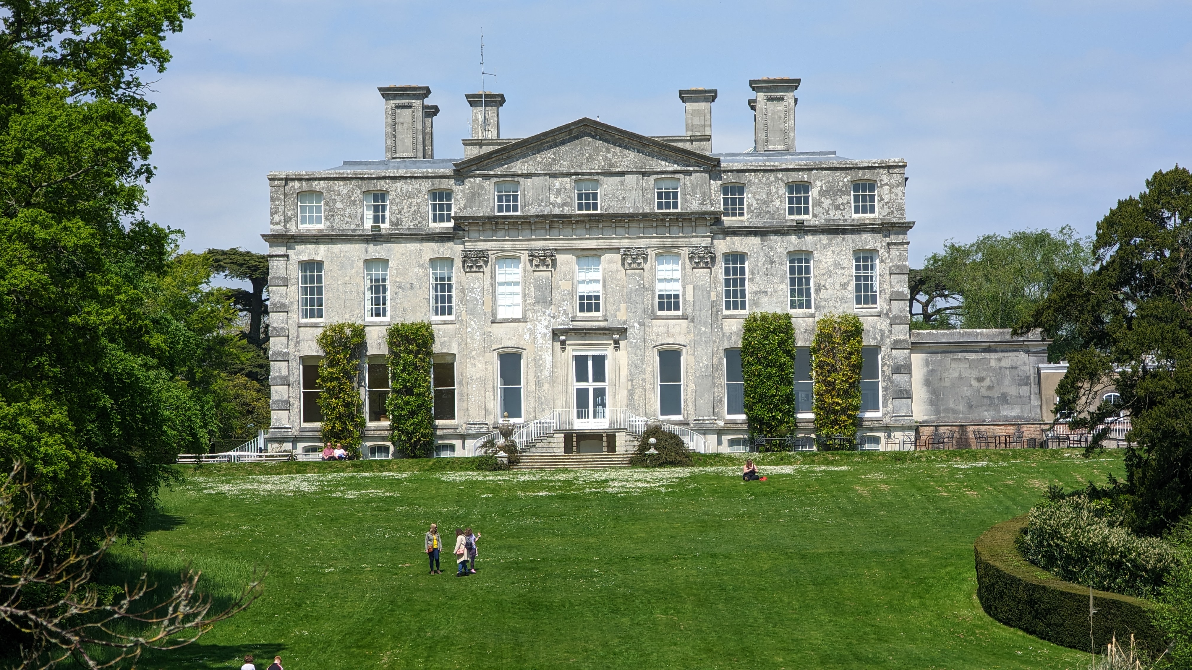
Kingston Maurward House
Kingston Maurward House is a large Grade I listed Georgian English country house set in a 750-acre (3 square km) estate in Dorset situated in the Frome...
Have you been to Square Coppice?
Leave your review of Square Coppice below (or comments, questions and feedback).