Three Cornered Coppice
Wood, Forest in Dorset
England
Three Cornered Coppice
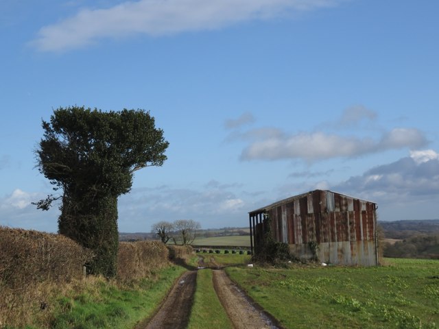
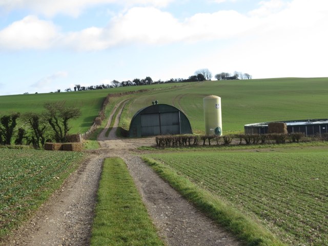
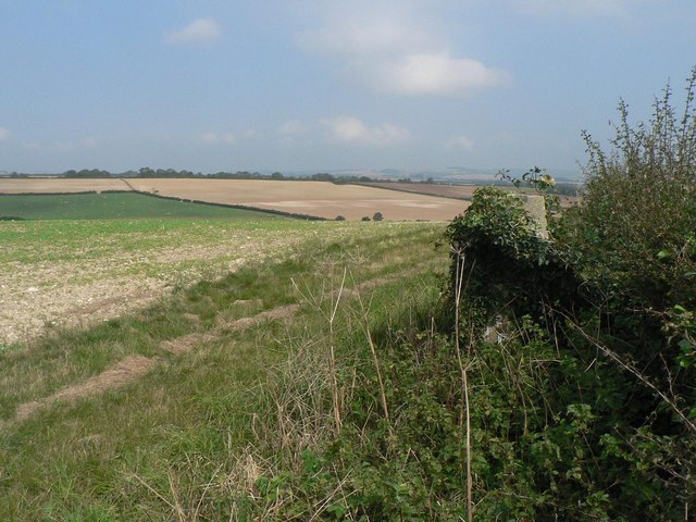
Three Cornered Coppice is a picturesque woodland located in the county of Dorset, England. Covering an area of approximately 50 acres, this enchanting forest is renowned for its natural beauty and diverse flora and fauna. The woodland is situated in the heart of the Dorset Area of Outstanding Natural Beauty, making it a popular destination for nature lovers and outdoor enthusiasts.
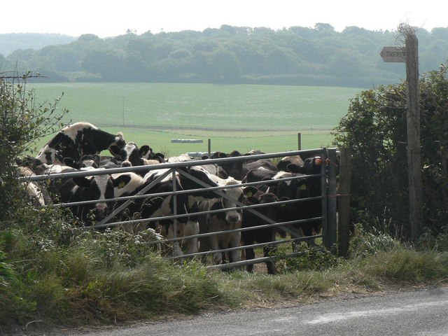
The name Three Cornered Coppice is derived from its distinctive triangular shape, which is a rare phenomenon in the region. The forest is predominantly composed of ancient oak trees, some of which are believed to be hundreds of years old. These majestic trees create a dense canopy that provides a habitat for a wide range of wildlife, including deer, badgers, and a variety of bird species.
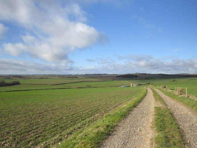
Visitors to Three Cornered Coppice can explore the numerous walking trails that crisscross the woodland, offering stunning views of the surrounding countryside. The forest is also home to a small stream, which adds to its charm and tranquility. Springtime is particularly enchanting, as the forest floor becomes adorned with a carpet of vibrant bluebells, creating a breathtaking sight.
The woodland is well-maintained, with designated picnic areas and benches scattered throughout, allowing visitors to relax and enjoy the peaceful ambiance. It is also a popular spot for birdwatching and photography, with many species of birds using the forest as a nesting site.
Overall, Three Cornered Coppice is a magical woodland retreat, offering a sanctuary for both nature and its visitors. Its natural beauty, diverse wildlife, and tranquil atmosphere make it a must-visit destination for anyone seeking to immerse themselves in the wonders of Dorset's countryside.
If you have any feedback on the listing, please let us know in the comments section below.
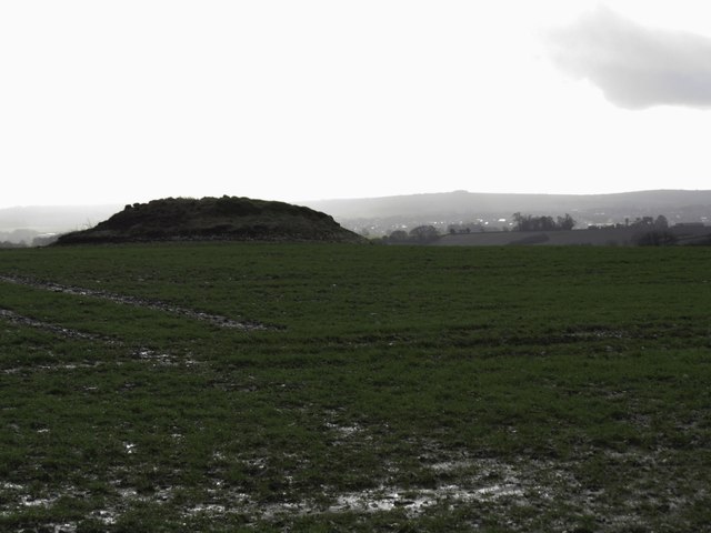
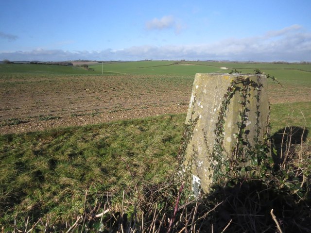
Three Cornered Coppice Images
Images are sourced within 2km of 50.746919/-2.421676 or Grid Reference SY7094. Thanks to Geograph Open Source API. All images are credited.


Three Cornered Coppice is located at Grid Ref: SY7094 (Lat: 50.746919, Lng: -2.421676)
Unitary Authority: Dorset
Police Authority: Dorset
What 3 Words
///chucked.combining.sands. Near Charminster, Dorset
Nearby Locations
Related Wikis

Charlton Down
Charlton Down is a new village in Dorset, England, situated approximately 4 miles (6.4 km) north of the county town Dorchester. It lies within the civil...

Herrison Hospital
Herrison Hospital was a mental health facility in Charminster, Dorset. == History == The hospital, which was designed by Henry Edward Kendall Jr. using...

Charminster
Charminster is a village and civil parish in west Dorset, England, situated on the River Cerne and A352 road 1 mile (1.6 km) north of the county town Dorchester...
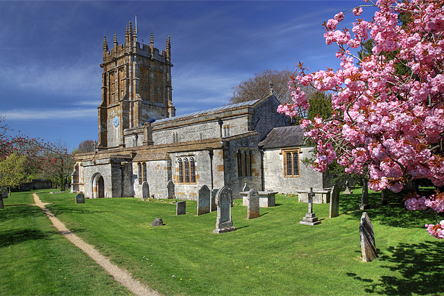
St Mary's Church, Charminster
St Mary's Church is an Anglican church in the village of Charminster, Dorset, in the Diocese of Salisbury. It is a Grade I listed building. The oldest...

Thomas Hardy's Cottage
Thomas Hardy's Cottage, in Higher Bockhampton, Dorset, is a small cob and thatch building that is the birthplace of the English author Thomas Hardy. He...

Piddlehinton
Piddlehinton is a village and civil parish in west Dorset, England, situated in the Piddle valley 5 miles (8.0 km) north of Dorchester. In the 2011 census...
Wolfeton House
Wolfeton House (sometimes Wolveton House) is an early Tudor and Elizabethan manor house in Dorset, England. It is situated amongst water-meadows north...

Stinsford
Stinsford is a village and civil parish in southwest Dorset, England, about 1 mile (1.6 km) east of Dorchester. The parish includes the settlements of...
Have you been to Three Cornered Coppice?
Leave your review of Three Cornered Coppice below (or comments, questions and feedback).