Bilcombe Copse

Wood, Forest in Dorset

England

Bilcombe Copse

House Fourways at junction at south end of village
House Fourways at junction at south end of village Credit: John Firth

Bilcombe Copse, located in the county of Dorset, England, is a picturesque wood that boasts a rich variety of flora and fauna. Spread over an area of approximately 20 hectares, the copse is nestled amidst the rolling countryside, providing a tranquil and serene atmosphere for visitors.

The copse is predominantly composed of deciduous trees, including oak, ash, and beech, which create a vibrant and colorful canopy during the autumn months. These trees are interspersed with patches of dense undergrowth, consisting of ferns, brambles, and bluebells, adding to the copse's natural charm and beauty.

The wildlife in Bilcombe Copse is diverse and abundant. It serves as a habitat for various species of birds, such as woodpeckers, thrushes, and owls, which can be heard chirping and hooting throughout the day. The copse is also home to numerous small mammals, including squirrels, badgers, and foxes, which can often be spotted scurrying through the undergrowth.

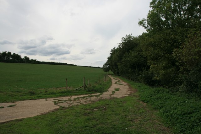
The copse is a popular destination for nature enthusiasts and walkers, who can explore its network of footpaths and trails. These paths meander through the copse, allowing visitors to immerse themselves in the natural surroundings and appreciate the beauty of the wood.

Bilcombe Copse is a haven for those seeking solace in nature, providing a tranquil escape from the hustle and bustle of everyday life. Its diverse range of plant and animal life, coupled with its serene ambiance, make it a truly enchanting destination for nature lovers and outdoor enthusiasts alike.

If you have any feedback on the listing, please let us know in the comments section below.

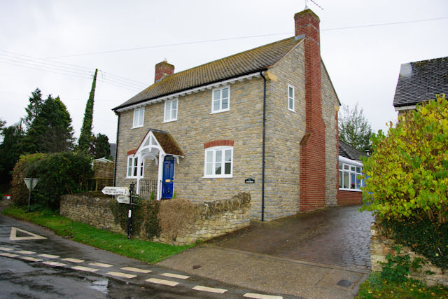
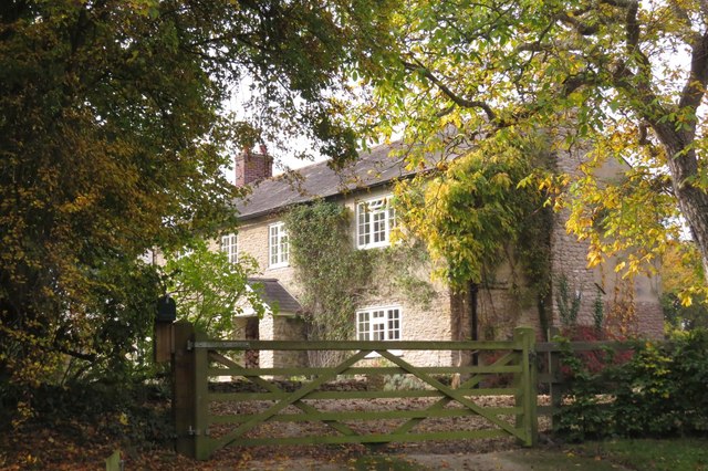
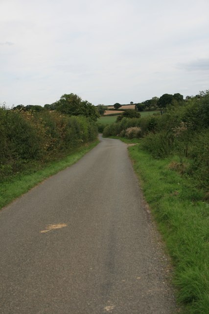
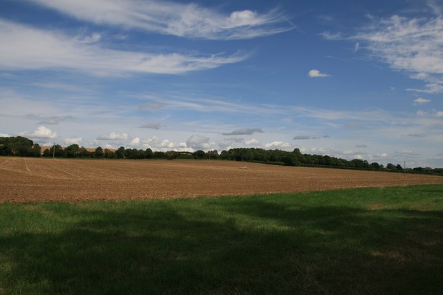
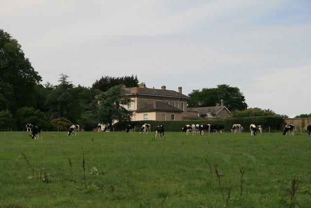
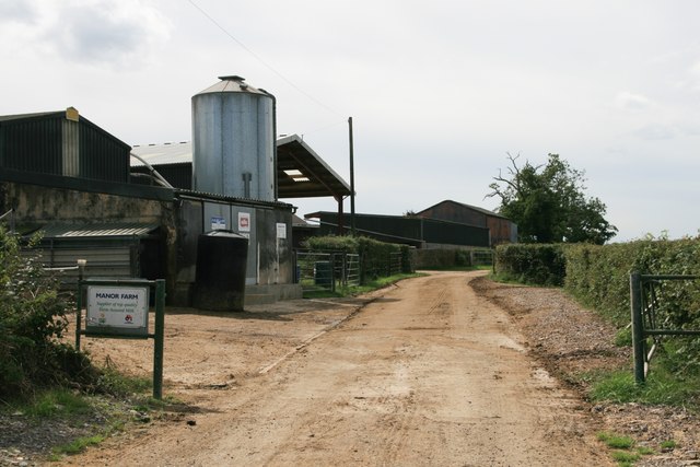
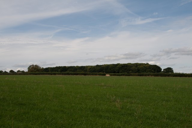
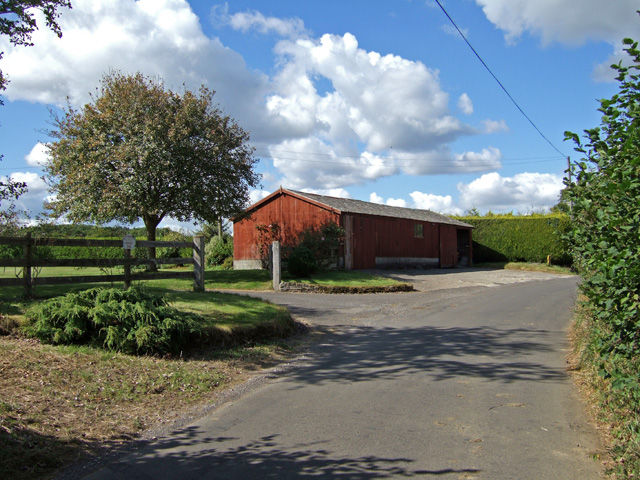
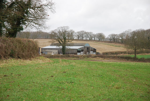
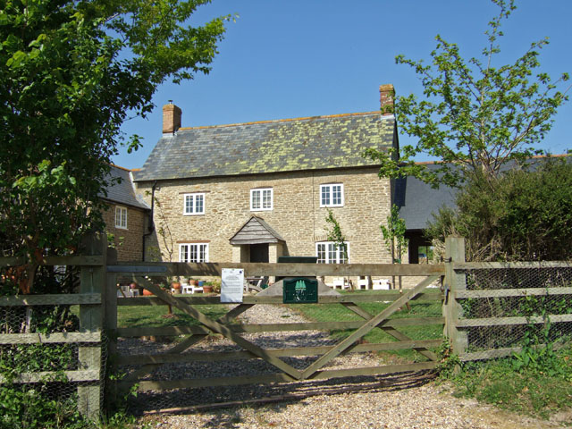
Bilcombe Copse Images

Images are sourced within 2km of 50.937817/-2.4254079 or Grid Reference ST7015. Thanks to Geograph Open Source API. All images are credited.

House Fourways at junction at south end of village
Clayhanger, near Purse Caundle, Dorset
Drove Road, Stourton Caundle
Farmland, Frith Farm
Haddon Lodge
Haddon Lodge
Manor Farm
Manor Farm
Footpath through farmland, Stourton Caundle
New Leaze Wood
New Leaze Wood
Benchmark St Peter's Church, Stourton Caundle See also <a href="https://www.geograph.org.uk/photo/5891489">ST7115 : St Peter's Church, Stourton Caundle</a>.
Benchmark St Peter's Church, Stourton Caundle
St Peter's Church, Stourton Caundle There is an Ordnance Survey benchmark on this building, see <a href="https://www.geograph.org.uk/photo/5891488">ST7115 : Benchmark St Peter's Church, Stourton Caundle</a>.
St Peter's Church, Stourton Caundle
There is an Ordnance Survey benchmark on this building, see ST7115 : Benchmark St Peter's Church, Stourton Caundle.
Stourton Caundle from the South
Village Street and Pub at Stourton Caundle A fine Spring day, where drinkers at The Trooper were outside, basking in the warm afternoon sun. The pub is Grade II listed, and may have originally been a mid C19 house.
Village Street and Pub at Stourton Caundle
A fine Spring day, where drinkers at The Trooper were outside, basking in the warm afternoon sun. The pub is Grade II listed, and may have originally been a mid C19 house.
Stourton Caundle Church St Peter's church is 700 years old with a 14th century tower.
Stourton Caundle Church
St Peter's church is 700 years old with a 14th century tower.
Stourton Caundle Village Street The house on the left is Brownshawl Farm.
Stourton Caundle Village Street
The house on the left is Brownshawl Farm.
Haddon Lodge A modest country house located almost equidistant between the villages of Purse Caundle and Stourton Caundle.
Haddon Lodge
A modest country house located almost equidistant between the villages of Purse Caundle and Stourton Caundle.
Stourton Caundle: parish church of St. Peter A survey carried out in the late 1800s revealed that apart from the chancel, the church's foundations were poor – even the tower's had only a depth of a foot.
Stourton Caundle: parish church of St. Peter
A survey carried out in the late 1800s revealed that apart from the chancel, the church's foundations were poor – even the tower's had only a depth of a foot.
On the road from Stourton Caundle
Unnamed farm buildings on Holt Lane Probably part of Caundle Farm.
Unnamed farm buildings on Holt Lane
Probably part of Caundle Farm.
Show me another place!

Bilcombe Copse is located at Grid Ref: ST7015 (Lat: 50.937817, Lng: -2.4254079)

Unitary Authority: Dorset

Police Authority: Dorset

What 3 Words

///machine.foot.gamer. Near Stalbridge, Dorset

Related Wikis

Stourton Caundle

Stourton Caundle is a village and civil parish in the county of Dorset in southwest England. It lies within the Blackmore Vale, about five miles (eight...

Purse Caundle

Purse Caundle is a village and civil parish in the county of Dorset in southwest England. It lies within the Dorset Council administrative area, about...

Bishop's Caundle

Bishop's Caundle is a village and civil parish in Dorset, South West England. It is situated 6 miles (9.7 km) south-east of Sherborne. The local travel...

Goathill

Goathill is a village and civil parish in the county of Dorset in England, situated in northern Dorset, a couple of miles east of the town of Sherborne...

Haydon, Dorset

Haydon is a village and civil parish 16 miles (26 km) north of Dorchester, in the Dorset district, in the county of Dorset, England. In 2001 the parish...

Caundle Marsh

Caundle Marsh is a village and civil parish in northwest Dorset, England, situated in the Blackmore Vale, 4 miles (6.4 km) southeast of Sherborne. The...

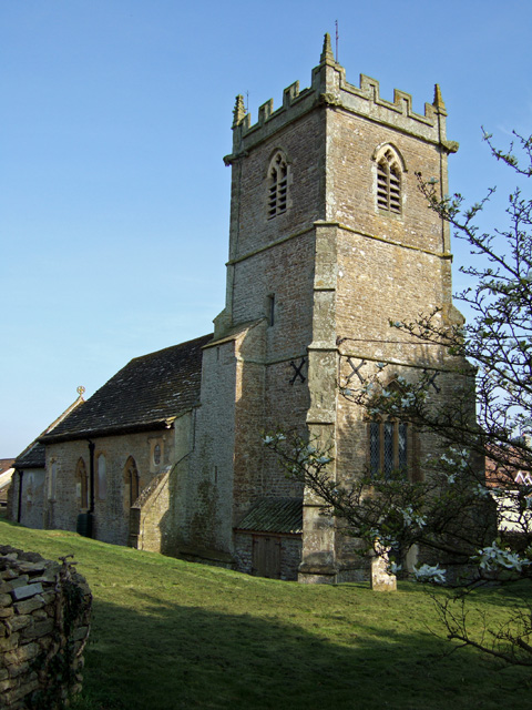
St Peter and St Paul's Church, Caundle Marsh

St Peter and St Paul's Church is a Church of England parish church in Caundle Marsh, Dorset, England. It was designed by Robert Howard Shout and built...

Ven House

Ven House in Milborne Port, Somerset, England is an English manor house that has been designated as a Grade I listed building.Construction of the smaller...

Nearby Amenities

Located within 500m of 50.937817,-2.4254079
Power: pole
Source: bing
Transformer: distribution
Lat/Long: 50.9394652/-2.4293236
Power: pole
Source: bing
Lat/Long: 50.9394643/-2.4260058
Power: pole
Source: bing
Lat/Long: 50.9394669/-2.4283996
Power: pole
Source: bing
Lat/Long: 50.939472/-2.4273495
Power: pole
Source: bing
Lat/Long: 50.9391272/-2.4243052
Power: pole
Source: bing
Lat/Long: 50.9390181/-2.4237487
Power: pole
Source: bing
Transformer: distribution
Lat/Long: 50.9389007/-2.4231854
Power: pole
Source: bing
Lat/Long: 50.936847/-2.420349
Power: pole
Source: bing
Lat/Long: 50.9373617/-2.4210584
Power: pole
Source: bing
Lat/Long: 50.9383919/-2.4224746
Power: pole
Source: bing
Lat/Long: 50.9378798/-2.4217692
Power: pole
Source: bing
Lat/Long: 50.9363467/-2.4196503
Woodrow
Place: hamlet
Lat/Long: 50.9393991/-2.4296997
The data included in this document is from www.openstreetmap.org. The data is made available under ODbL.

Have you been to Bilcombe Copse?

Leave your review of Bilcombe Copse below (or comments, questions and feedback).