Round Wood
Wood, Forest in Staffordshire Newcastle-under-Lyme
England
Round Wood
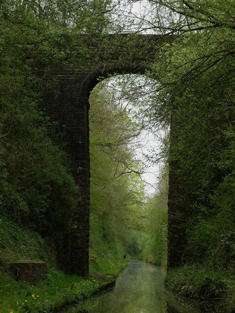
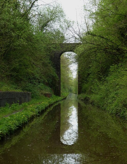
Round Wood is a small woodland area located in Staffordshire, England. Situated near the village of Wood, the forest covers an approximate area of 20 acres. It is a popular spot for nature enthusiasts and outdoor activities due to its scenic beauty and tranquil atmosphere.
The wood is predominantly composed of deciduous trees such as oak, birch, and ash, which create a dense canopy overhead. This provides a sheltered habitat for a variety of wildlife, including deer, squirrels, and numerous bird species. The forest floor is carpeted with a rich diversity of plants, including bluebells and wood anemones, which bloom in spring, creating a vibrant and colorful landscape.
Round Wood offers several walking trails and footpaths, allowing visitors to explore its natural beauty. The paths wind through the forest, providing glimpses of sun-dappled clearings and babbling brooks. There are also designated picnic areas for visitors to enjoy a meal surrounded by nature.
The woodland is managed by local conservation groups, who work to preserve its natural habitat and protect the wildlife that calls it home. They also organize educational programs and guided walks to raise awareness about the importance of woodland conservation.
Round Wood is a haven for nature lovers, providing a peaceful retreat from the hustle and bustle of everyday life. Its picturesque beauty and diverse wildlife make it a prime destination for those seeking a connection with the natural world.
If you have any feedback on the listing, please let us know in the comments section below.
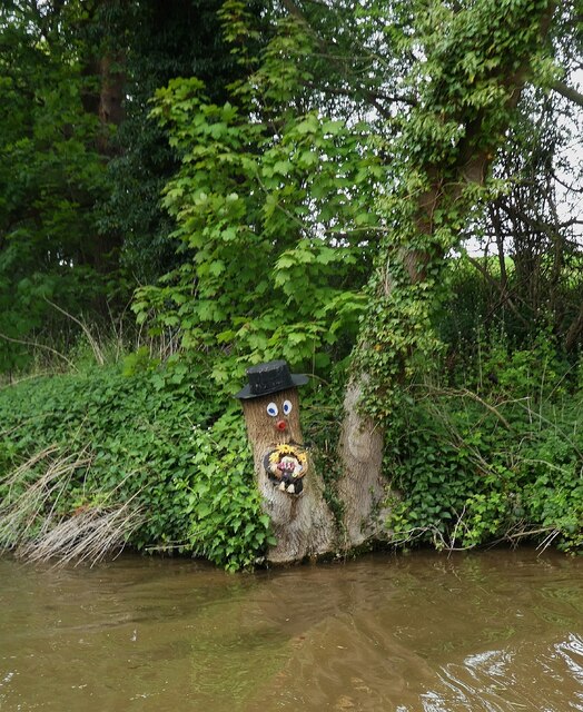
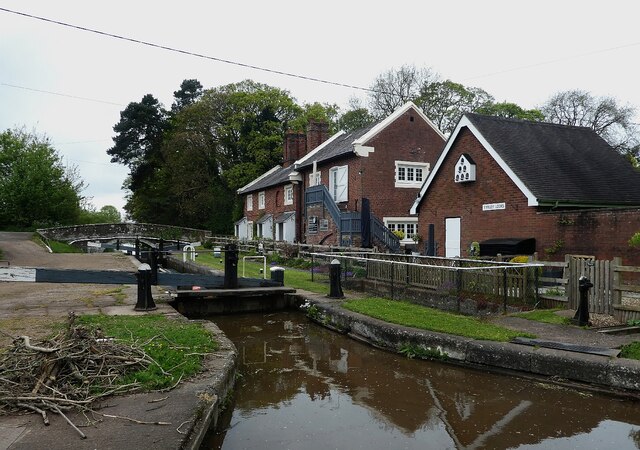
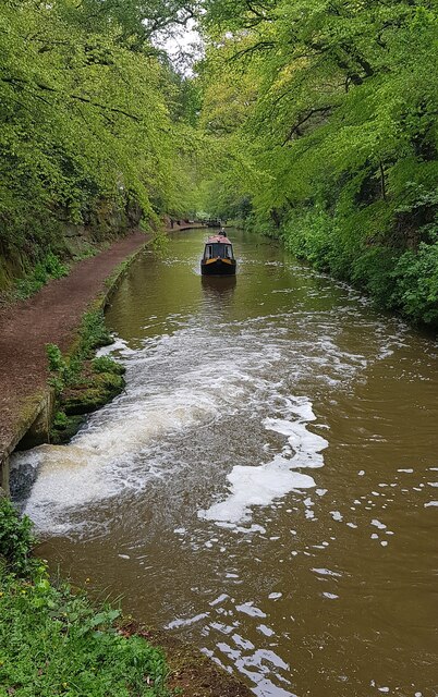
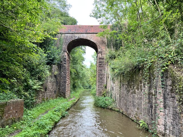
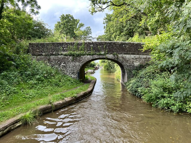
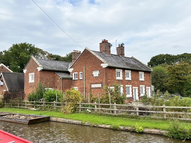
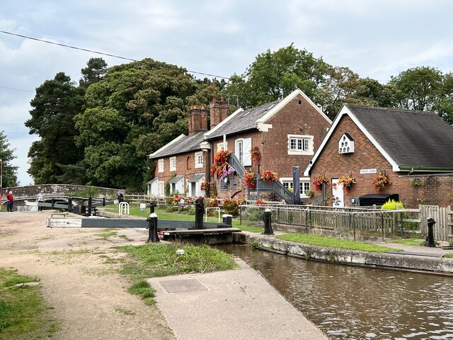
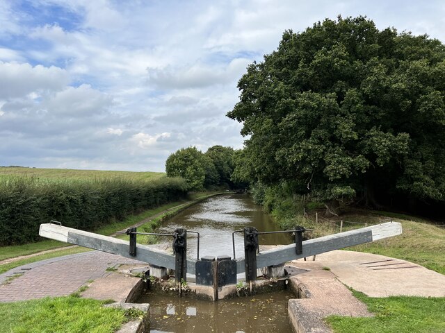
Round Wood Images
Images are sourced within 2km of 52.88958/-2.4441698 or Grid Reference SJ7032. Thanks to Geograph Open Source API. All images are credited.


Round Wood is located at Grid Ref: SJ7032 (Lat: 52.88958, Lng: -2.4441698)
Administrative County: Staffordshire
District: Newcastle-under-Lyme
Police Authority: Staffordshire
What 3 Words
///calibrate.centuries.blazing. Near Market Drayton, Shropshire
Nearby Locations
Related Wikis
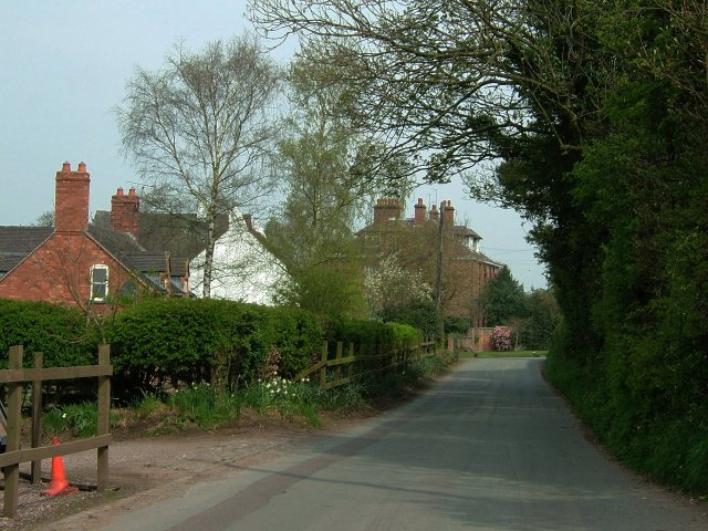
Almington
Almington is a small village in Staffordshire, England. It is about 2 miles (3.2 km) east-northeast of Market Drayton by road, to the northwest of the...

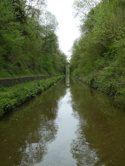
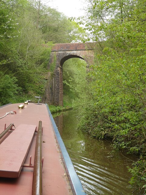
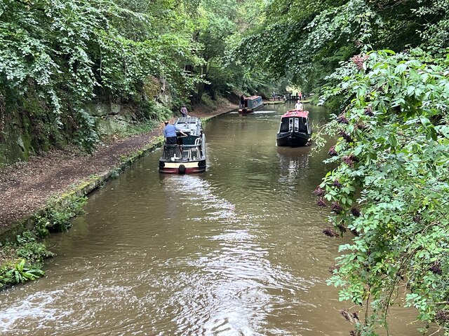
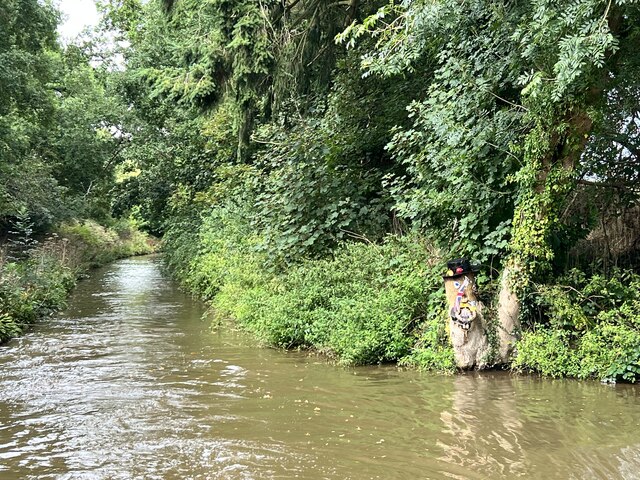
Tyrley Canal Cutting
Tyrley Canal Cutting is a Site of Special Scientific Interest located on the Shropshire Union Canal approximately 2.5 miles south of Market Drayton, to...

Hales, Staffordshire
Hales is a village in Staffordshire approximately 2 miles east of Market Drayton. Population details as taken at the 2011 census can be found under Loggerheads...
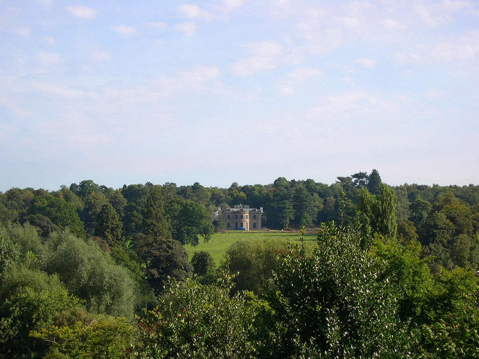
Pell Wall Hall
Pell Wall Hall is a neo-classical country house on the outskirts of Market Drayton in Shropshire. Faced in Grinshill sandstone, Pell Wall is the last completed...
Related Videos

Swans at Talbot Wharf
Looking for breakfast.

Tyrley locks
4k drone footage of the locks and surroundings.

Episode 39 - GoldTyrleyLocks
Since leaving The Llangollen, Tales From The Swan's Neck spent some time on the Middlewich Branch of the Shropshire Union ...
Have you been to Round Wood?
Leave your review of Round Wood below (or comments, questions and feedback).