New Leaze Wood
Wood, Forest in Dorset
England
New Leaze Wood
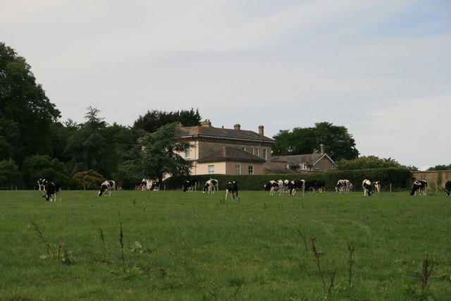
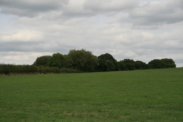
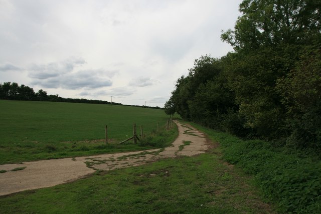
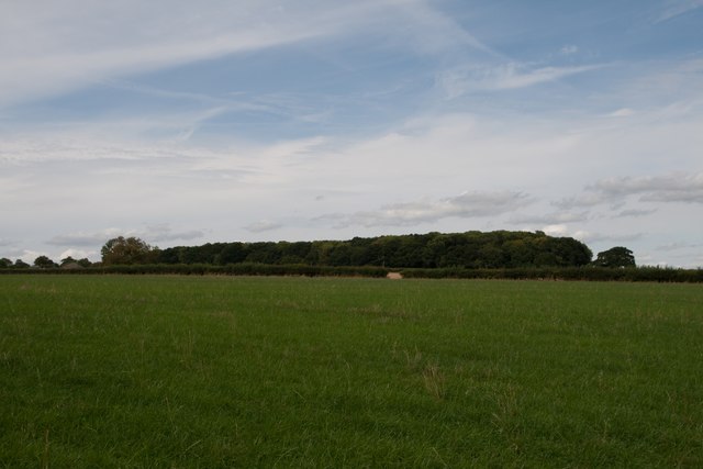
New Leaze Wood is a beautiful woodland located in Dorset, England. Covering an area of approximately 50 acres, it is a popular destination for nature enthusiasts and outdoor lovers. The wood is situated in a rural area, surrounded by picturesque countryside and rolling hills.
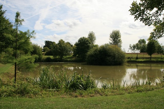
The wood is predominantly made up of native broadleaf trees, such as oak, beech, and ash, which create a lush and vibrant canopy during the summer months. The forest floor is covered in a rich carpet of ferns, wildflowers, and mosses, providing a suitable habitat for a diverse range of wildlife.
Visitors to New Leaze Wood can enjoy a variety of recreational activities. There are well-maintained walking trails that meander through the woodland, offering opportunities for leisurely strolls and peaceful nature walks. The wood also provides a tranquil setting for birdwatching, with a multitude of bird species inhabiting the area, including woodpeckers, thrushes, and owls.
For those interested in history, New Leaze Wood has a fascinating past. It is believed to have been used as a hunting ground by the local nobility in medieval times, and remnants of ancient deer parks can still be found within the wood. Additionally, there are traces of old charcoal kilns, providing evidence of past industrial activity.
Overall, New Leaze Wood is a haven of natural beauty and tranquility. Whether you are seeking a peaceful retreat, a chance to explore the local flora and fauna, or a glimpse into the area's history, this wood offers a delightful experience for all who visit.
If you have any feedback on the listing, please let us know in the comments section below.
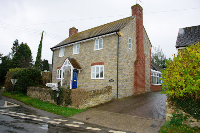
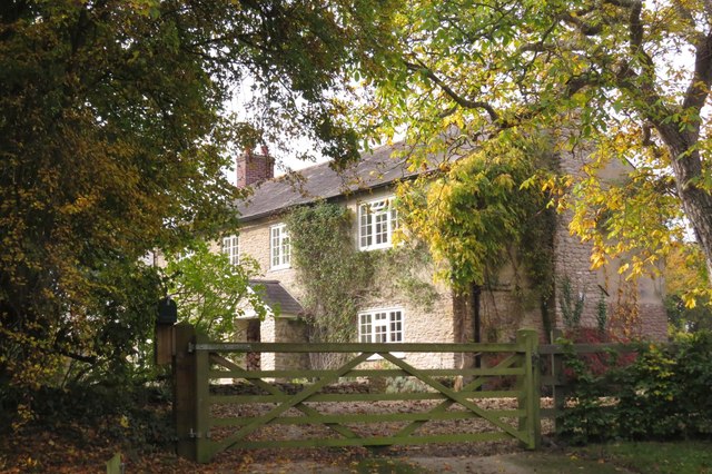
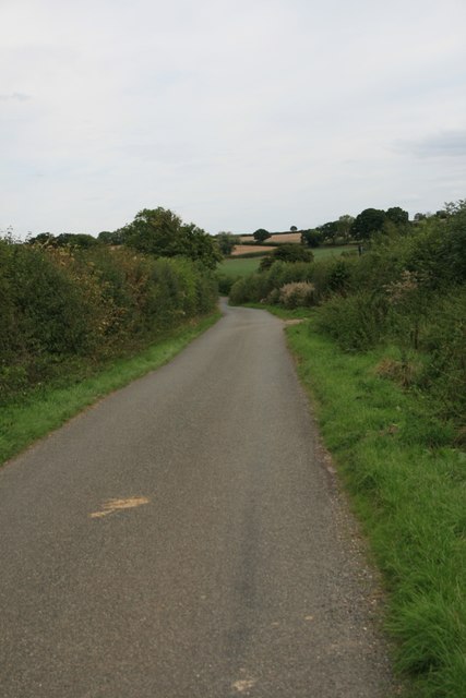
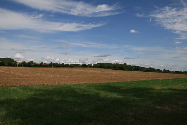
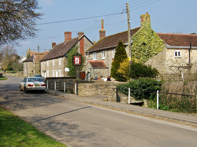
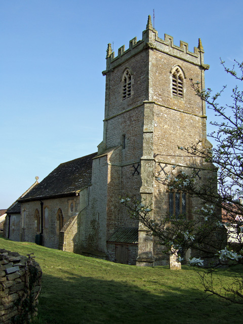
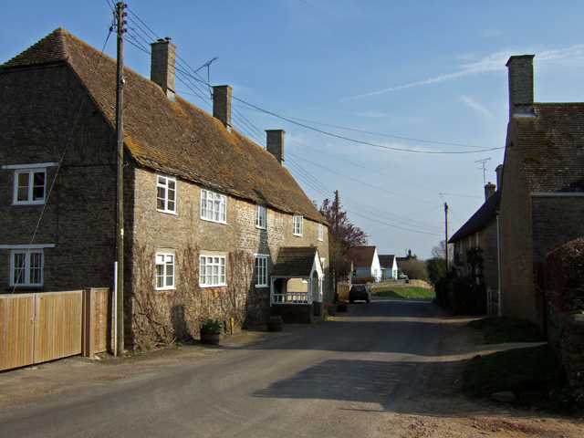
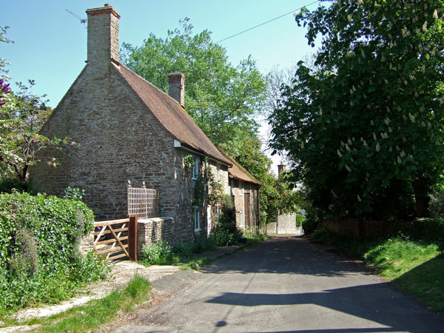
New Leaze Wood Images
Images are sourced within 2km of 50.940275/-2.4194954 or Grid Reference ST7015. Thanks to Geograph Open Source API. All images are credited.

New Leaze Wood is located at Grid Ref: ST7015 (Lat: 50.940275, Lng: -2.4194954)
Unitary Authority: Dorset
Police Authority: Dorset
What 3 Words
///skews.massive.hypnotist. Near Stalbridge, Dorset
Nearby Locations
Related Wikis

Stourton Caundle
Stourton Caundle is a village and civil parish in the county of Dorset in southwest England. It lies within the Blackmore Vale, about five miles (eight...

Purse Caundle
Purse Caundle is a village and civil parish in the county of Dorset in southwest England. It lies within the Dorset Council administrative area, about...

Bishop's Caundle
Bishop's Caundle is a village and civil parish in Dorset, South West England. It is situated 6 miles (9.7 km) south-east of Sherborne. The local travel...

Goathill
Goathill is a village and civil parish in the county of Dorset in England, situated in northern Dorset, a couple of miles east of the town of Sherborne...

Brownshall Hundred
Brownshall Hundred was a hundred in the county of Dorset, England, containing the following parishes: Holwell (transferred from Somerset 1844) Lydlinch...

Stalbridge
Stalbridge () is a town and civil parish in Dorset, England, situated in the Blackmore Vale, near the border with Somerset. In the 2011 census the civil...

Ven House
Ven House in Milborne Port, Somerset, England is an English manor house that has been designated as a Grade I listed building.Construction of the smaller...

Haydon, Dorset
Haydon is a village and civil parish 16 miles (26 km) north of Dorchester, in the Dorset district, in the county of Dorset, England. In 2001 the parish...
Nearby Amenities
Located within 500m of 50.940275,-2.4194954Have you been to New Leaze Wood?
Leave your review of New Leaze Wood below (or comments, questions and feedback).