Strine Covert

Wood, Forest in Shropshire

England

Strine Covert

Cornfield viewed from Hincks Brook Just over the footbridge on the north side of Hincks Brook, due north of Hincks Farm, looking towards Osierbed Covert.
Cornfield viewed from Hincks Brook Credit: ntso

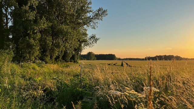
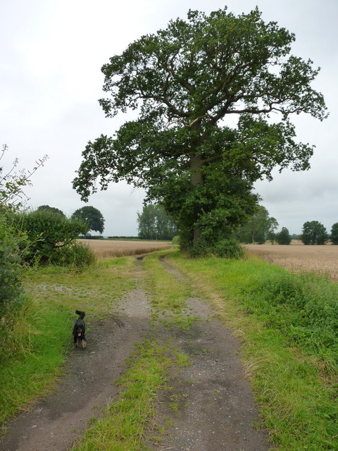
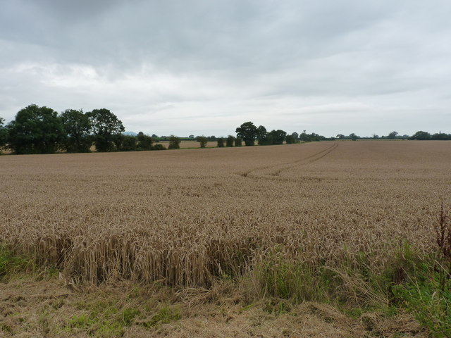
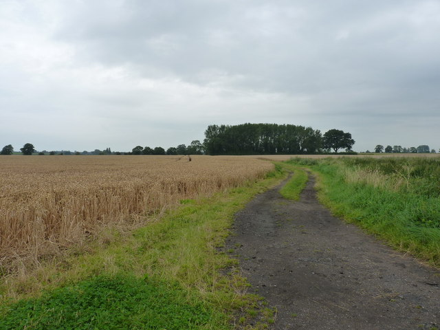
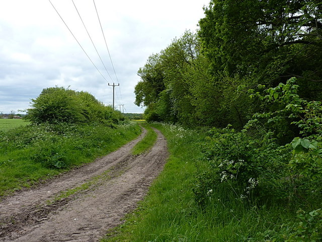
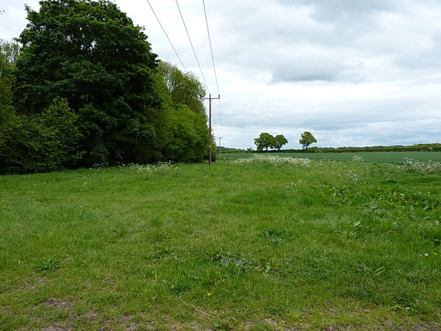
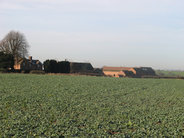
Strine Covert is a picturesque woodland area located in Shropshire, England. It is nestled in the heart of the county and covers an expansive area of lush greenery and towering trees. The covert is known for its dense and diverse forest, making it a haven for nature enthusiasts and wildlife alike.

The woodland is predominantly composed of deciduous trees such as oak, beech, and birch, creating a stunning display of colors throughout the changing seasons. The forest floor is adorned with a rich carpet of ferns, wildflowers, and moss, further enhancing its natural beauty.

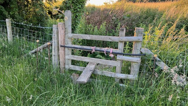
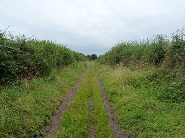
Strine Covert offers a tranquil escape from the hustle and bustle of everyday life, providing visitors with the opportunity to immerse themselves in nature. It is a popular destination for walking, hiking, and birdwatching, with numerous trails and paths crisscrossing through the woods. The sounds of chirping birds, rustling leaves, and trickling streams create a soothing ambiance, ideal for relaxation and contemplation.

Wildlife thrives in the covert, with various species calling it home. Visitors may spot deer, foxes, badgers, and an array of bird species, including woodpeckers, owls, and thrushes. The covert is also home to a multitude of insects, amphibians, and small mammals, adding to its ecological significance.

Strine Covert is not only a natural sanctuary but also plays a vital role in the local ecosystem, providing habitat and shelter for many species. It is a cherished and protected area, ensuring its preservation for future generations to enjoy.

If you have any feedback on the listing, please let us know in the comments section below.

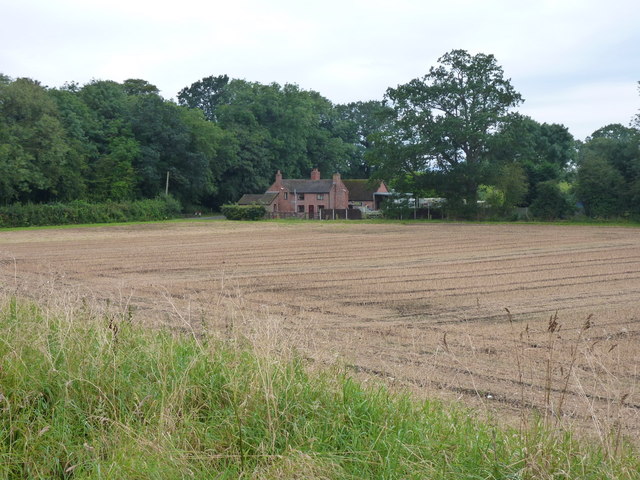
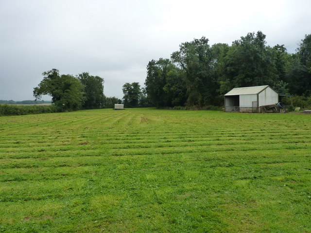
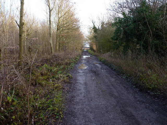
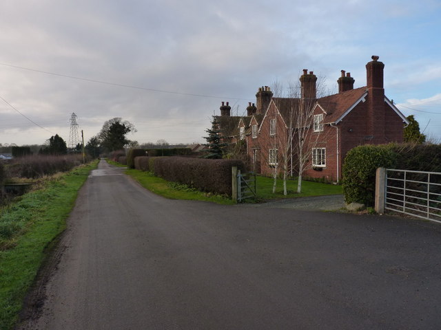
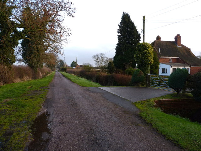
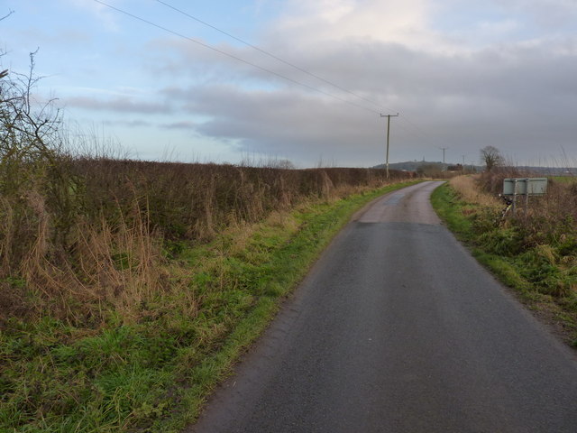
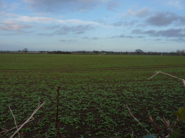
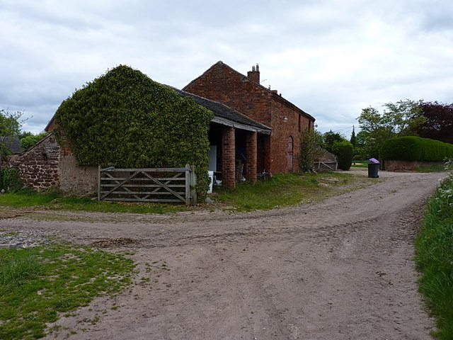
Strine Covert Images

Images are sourced within 2km of 52.756222/-2.4438781 or Grid Reference SJ7017. Thanks to Geograph Open Source API. All images are credited.

Cornfield viewed from Hincks Brook Just over the footbridge on the north side of Hincks Brook, due north of Hincks Farm, looking towards Osierbed Covert.
Cornfield viewed from Hincks Brook
Just over the footbridge on the north side of Hincks Brook, due north of Hincks Farm, looking towards Osierbed Covert.
Stile and footbridge across Hincks Brook The public right of way goes over the stile and crosses Hincks Brook via a footbridge consisting of two planks of wood. Behind are the fields beyond.
Stile and footbridge across Hincks Brook
The public right of way goes over the stile and crosses Hincks Brook via a footbridge consisting of two planks of wood. Behind are the fields beyond.
Barnfield cottage outside Edgmond
The track back into Edgmond A little-used farm track, which accesses the Birch Moors further to the west.
The track back into Edgmond
A little-used farm track, which accesses the Birch Moors further to the west.
Track on the Birch Moors The surrounding fields of wheat are ready for harvest.
Track on the Birch Moors
The surrounding fields of wheat are ready for harvest.
Wheat on the Birch Moors Large fields of wheat dominate this area.
Wheat on the Birch Moors
Large fields of wheat dominate this area.
Fields and farm track on the Birch Moors
Irrigation pool near Adeney A large pool, standing above the general level of the surrounding fields in its built embankment.
Irrigation pool near Adeney
A large pool, standing above the general level of the surrounding fields in its built embankment.
Brickkiln Cottages from the NE A view of the cottages from the edge of the nearby irrigation pool.
Brickkiln Cottages from the NE
A view of the cottages from the edge of the nearby irrigation pool.
Field barn and hayfield near Adeney
Bridleway and track through Hincks Plantation The maps describe the whole area as Hincks Plantation, but signs on a couple of gates on the north side of the track suggest that the western part of it is known locally as Adeney Wood, and this eastern part is Tibberton Wood.
Bridleway and track through Hincks Plantation
The maps describe the whole area as Hincks Plantation, but signs on a couple of gates on the north side of the track suggest that the western part of it is known locally as Adeney Wood, and this eastern part is Tibberton Wood.
Wrekin View A pair of semi-detached cottages on Kynnersley Drive, with a distant rural aspect to The Wrekin.
Wrekin View
A pair of semi-detached cottages on Kynnersley Drive, with a distant rural aspect to The Wrekin.
Kynnersley Drive beside Woodside Farm Kynnersley Drive connects Lilleshall to the east with (perhaps unsurprisingly) Kynnersley a couple of miles to the west, crossing the rather marshy Weald Moors on the way. This end of the track is surfaced, but it gives over to an unmade bridleway further west.
Kynnersley Drive beside Woodside Farm
Kynnersley Drive connects Lilleshall to the east with (perhaps unsurprisingly) Kynnersley a couple of miles to the west, crossing the rather marshy Weald Moors on the way. This end of the track is surfaced, but it gives over to an unmade bridleway further west.
Kynnersley Drive near Cheswell Grange Flat agricultural land surrounds this area; the view is towards the Sutherland Monument on Lilleshall Hill <a href="https://www.geograph.org.uk/photo/1785574">SJ7215 : Lilleshall Monument</a>
Kynnersley Drive near Cheswell Grange
Flat agricultural land surrounds this area; the view is towards the Sutherland Monument on Lilleshall Hill SJ7215 : Lilleshall Monument
Next year's crop It's not easy to work out quite what's growing in this field yet, but this is a very similar view to <a href="https://www.geograph.org.uk/photo/418106">SJ7116 : Cheswell.</a>, without the zoom towards the buildings of Cheswell Grange.
Next year's crop
It's not easy to work out quite what's growing in this field yet, but this is a very similar view to SJ7116 : Cheswell., without the zoom towards the buildings of Cheswell Grange.
Barns at Cheswell Manor farm Victorian (?) era barns on the trackside at Cheswell
Barns at Cheswell Manor farm
Victorian (?) era barns on the trackside at Cheswell
Field access track beside Cheswell Wood Not strictly on a public right of way, but it's clearly used for tractor access to fields and a small barn to the west of the woodland, so I didn't feel too out of place riding a bike down here.
Field access track beside Cheswell Wood
Not strictly on a public right of way, but it's clearly used for tractor access to fields and a small barn to the west of the woodland, so I didn't feel too out of place riding a bike down here.
On the SE side of Cheswell Wood
Show me another place!

Strine Covert is located at Grid Ref: SJ7017 (Lat: 52.756222, Lng: -2.4438781)

Unitary Authority: Telford and Wrekin

Police Authority: West Mercia

What 3 Words

///clown.eternally.runways. Near Edgmond, Shropshire

Related Wikis

Adeney

Adeney is a hamlet in the English county of Shropshire, in the civil parish of Edgmond. Its name was formerly also spelt Adney, and derives from an Old...

Weald Moors

The Weald Moors are located in the ceremonial county of Shropshire north of Telford, stretching from north and west of the town of Newport towards Wellington...

Cheswell, Shropshire

Cheswell is a hamlet in Shropshire, England on the edge of the Weald Moors. The settlement is overlooked by a rocky, sandstone edge called Cheswell Hill...

St Peter's Church, Edgmond

St. Peter's Church is in the village of Edgmond, Shropshire, England. The church is an active Anglican parish church in the deanery of Edgmond and Shifnal...

Have you been to Strine Covert?

Leave your review of Strine Covert below (or comments, questions and feedback).